Elevation of Lcr, Groesbeck, TX, USA
Longitude: -96.458309
Latitude: 31.4427239
Elevation: -10000m / -32808feet
Barometric Pressure: 295KPa
Elevation Map:
Satellite Map:
Related Photos:

Old Fort Parker State Historical Park - 1987

Old Fort Parker State Historical Park - 1987

Limestone County Courthouse (Groesbeck, Texas)

Limestone County Courthouse (Groesbeck, Texas)

Old Fort Parker State Historical Park - 1987
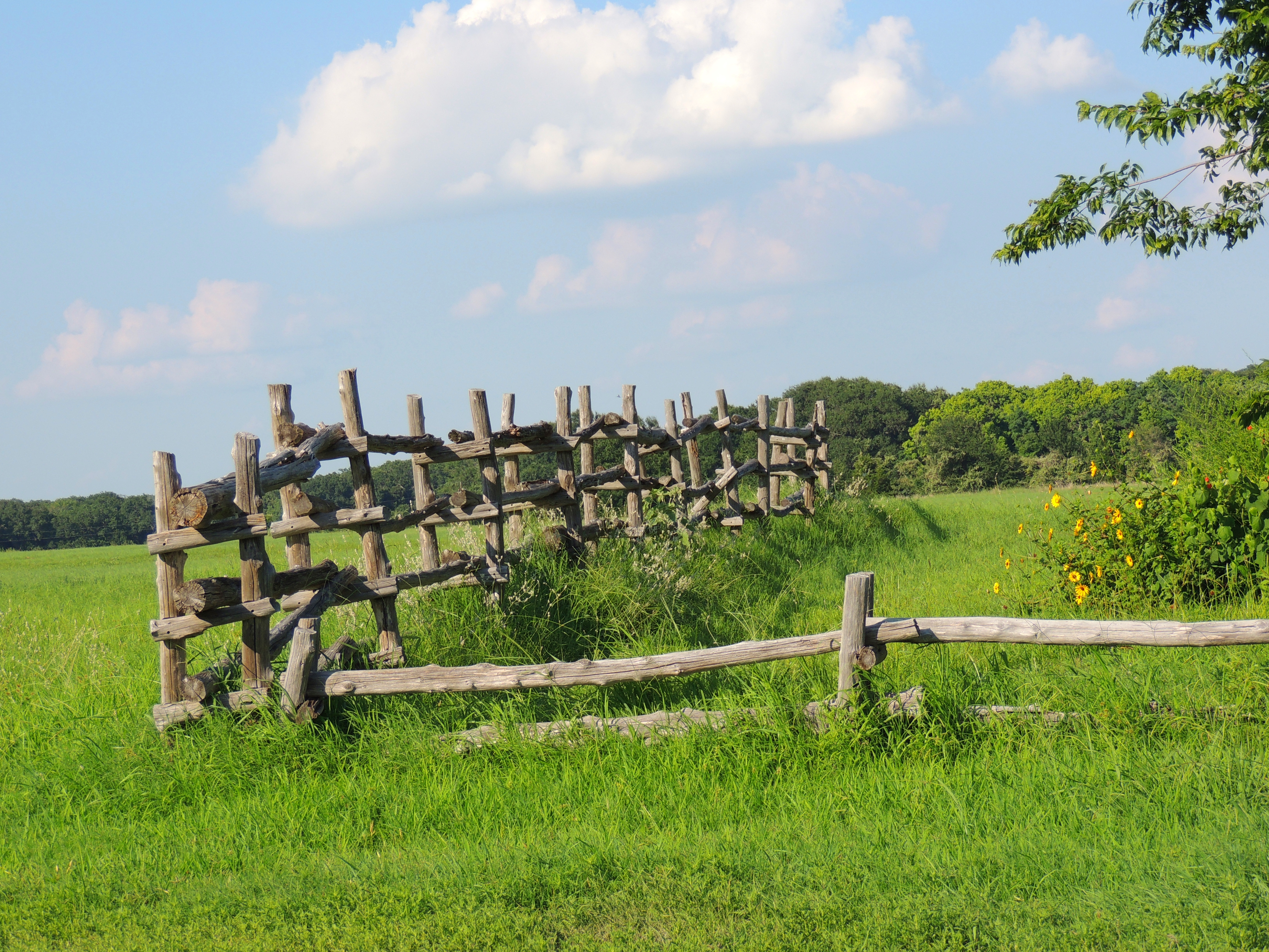
Fencing at Fort Parker in Texas - HFF!!!
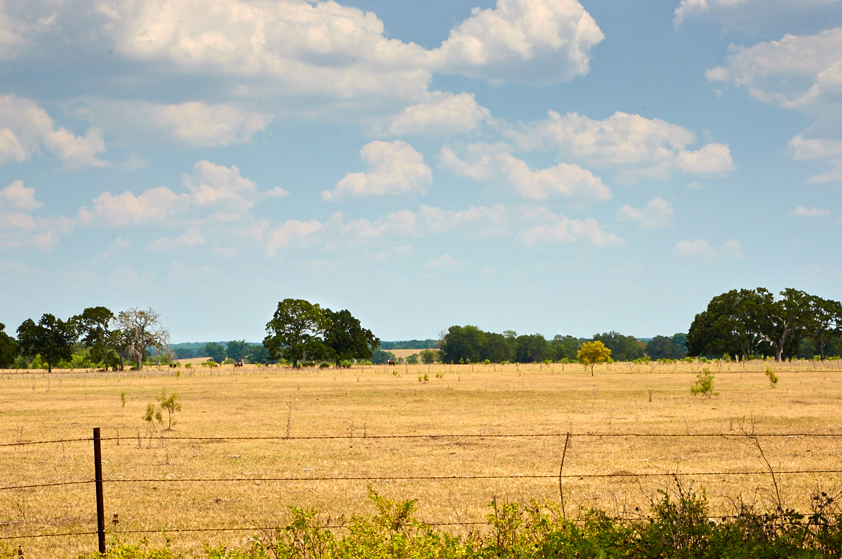
Ranch Land - the Soul of Texas

Cookies 'N Cream, my favorite cow

Sunset on Lake Limestone, Texas

Lakeside Grass

Once Deadhead

RR0009-02

Camping Memorial Day weekend
Topographic Map of Lcr, Groesbeck, TX, USA
Find elevation by address:

Places near Lcr, Groesbeck, TX, USA:
Lcr 762
419 Lcr 779
FM, Groesbeck, TX, USA
184 Lcr 752a
184 Lcr 752a
184 Lcr 752a
Groesbeck
Thornton
E 11th St, Thornton, TX, USA
Lcr913
Lcr911
Lcr 906
Park Road 35, Groesbeck, TX, USA
Lcr 402
Lcr 443
20171 Winding Way Dr
535 F County Rd 751
Kosse
Limestone County
Donie
Recent Searches:
- Elevation of Corso Fratelli Cairoli, 35, Macerata MC, Italy
- Elevation of Tallevast Rd, Sarasota, FL, USA
- Elevation of 4th St E, Sonoma, CA, USA
- Elevation of Black Hollow Rd, Pennsdale, PA, USA
- Elevation of Oakland Ave, Williamsport, PA, USA
- Elevation of Pedrógão Grande, Portugal
- Elevation of Klee Dr, Martinsburg, WV, USA
- Elevation of Via Roma, Pieranica CR, Italy
- Elevation of Tavkvetili Mountain, Georgia
- Elevation of Hartfords Bluff Cir, Mt Pleasant, SC, USA