Elevation of Lamb Creek, Mad River, CA, USA
Location: United States > California > Mad River >
Longitude: -123.50364
Latitude: 40.4501434
Elevation: 750m / 2461feet
Barometric Pressure: 93KPa
Elevation Map:
Satellite Map:
Related Photos:
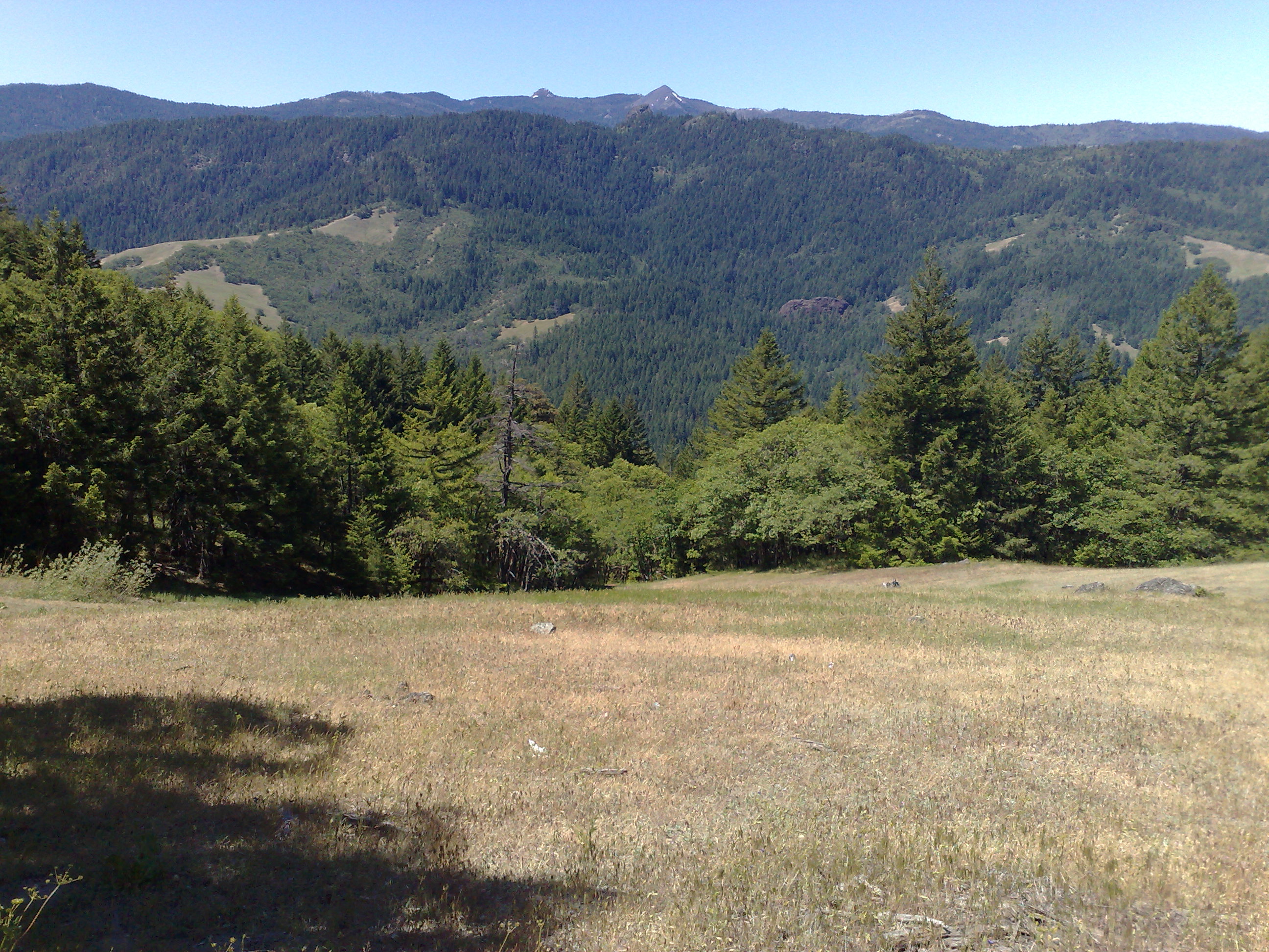
Another Wilderness view between Humboldt and Shasta

_7310098.NEF
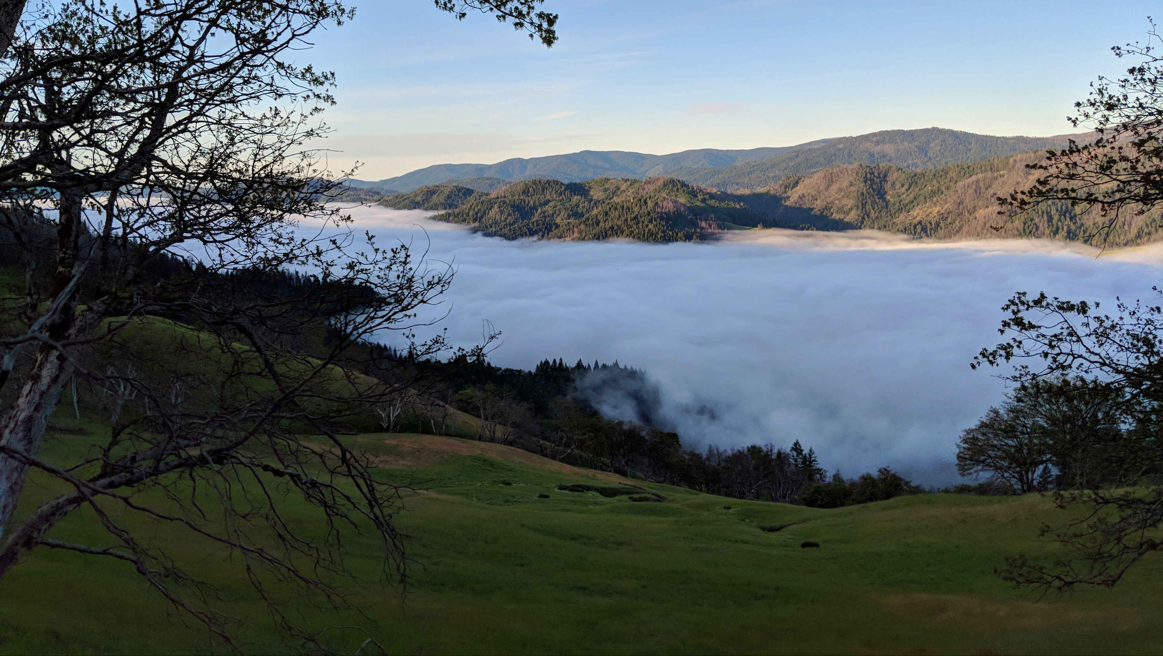
Mad River Valley, CA
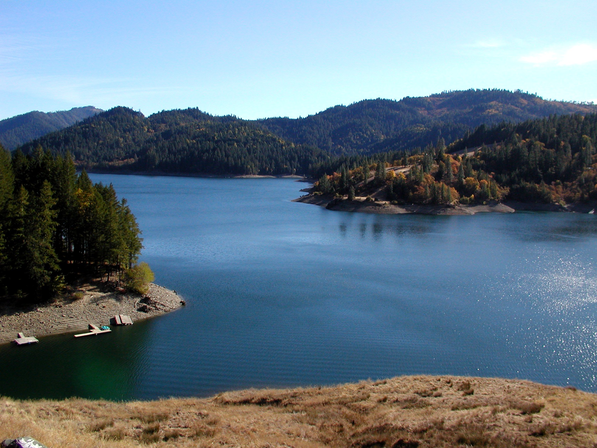
RuthLake2-110303
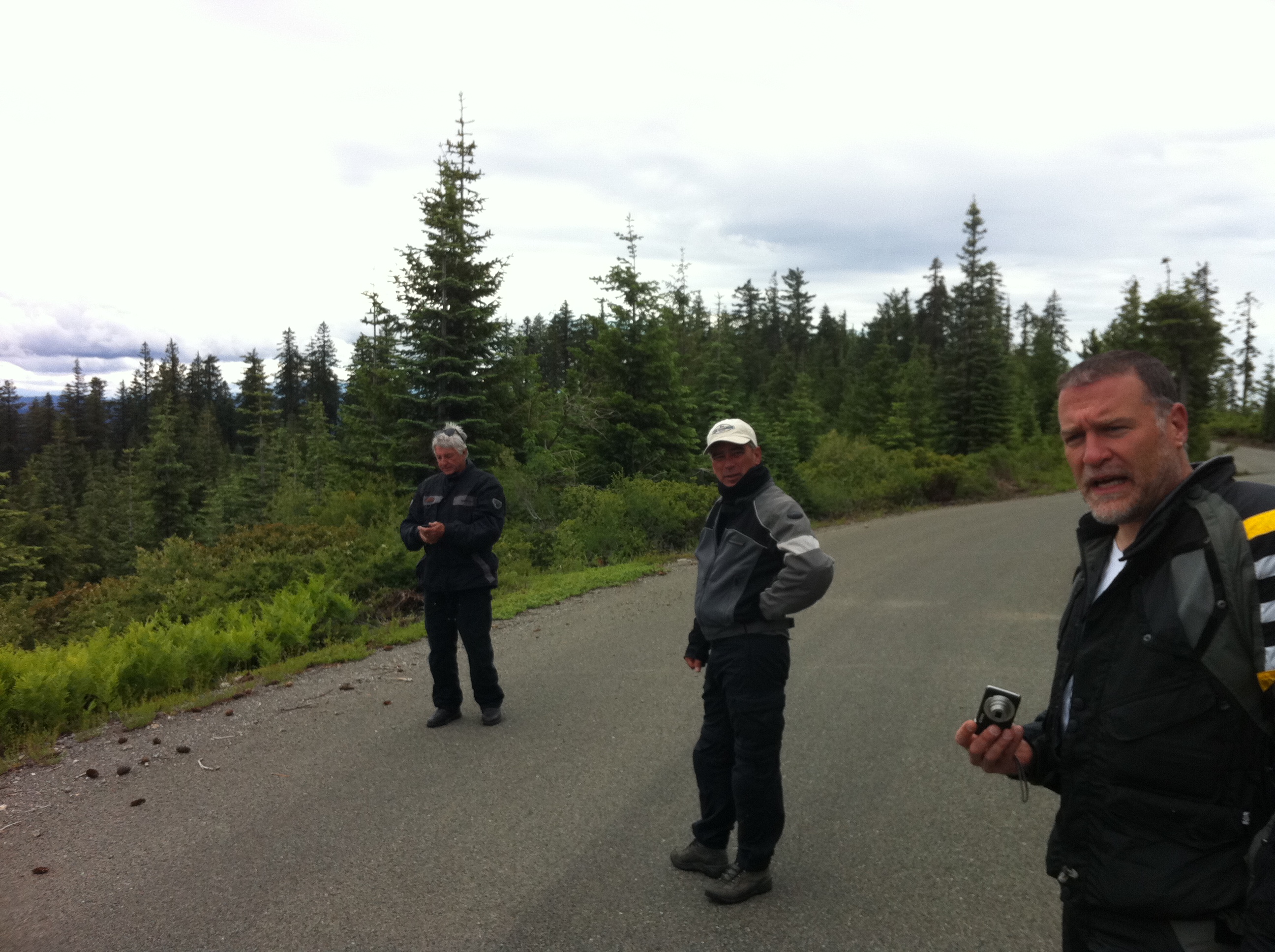
Hwy. 36 overlook

Sunflare in the redwoods
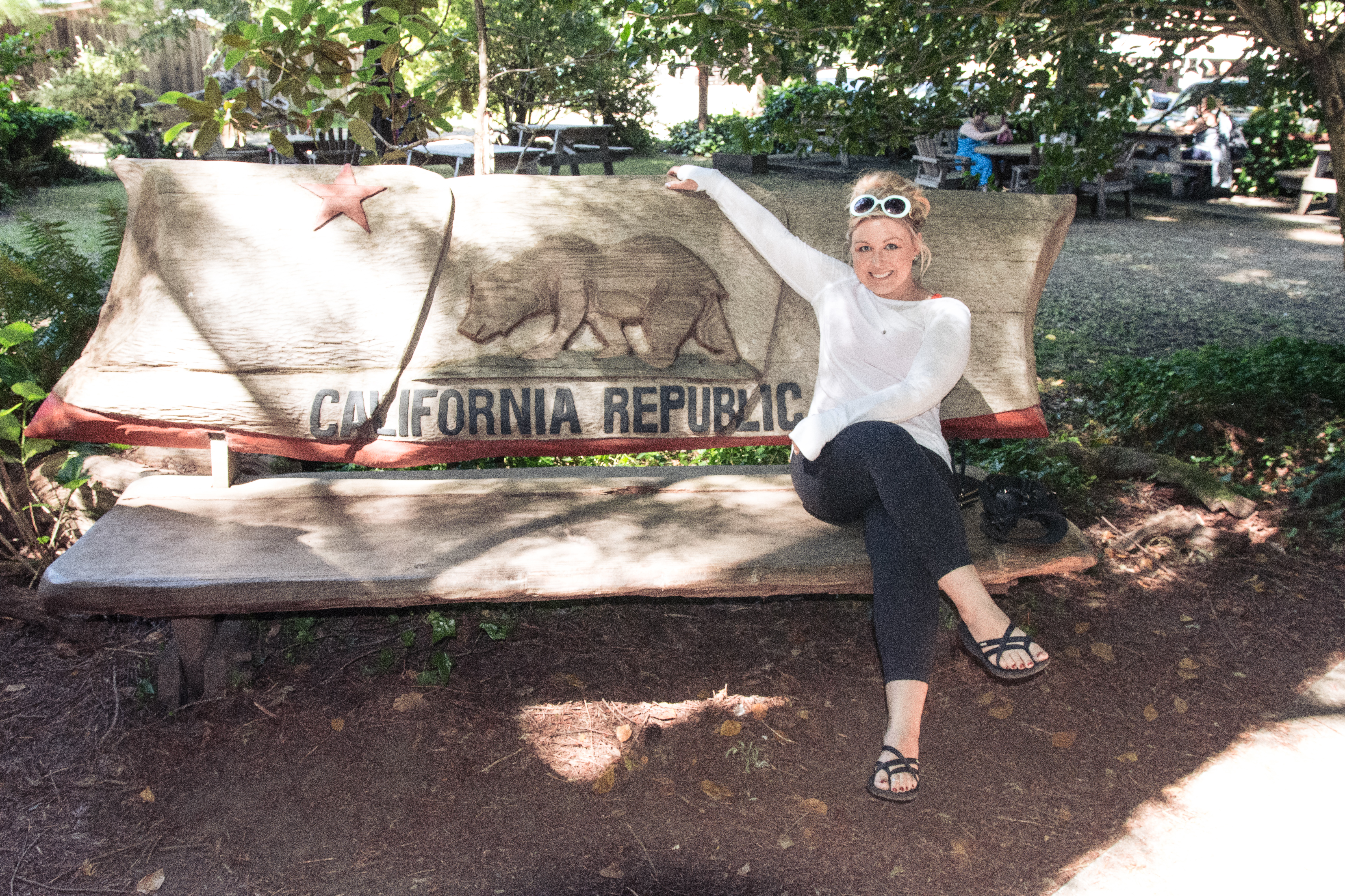
California Republic Bench - Redwood National Park
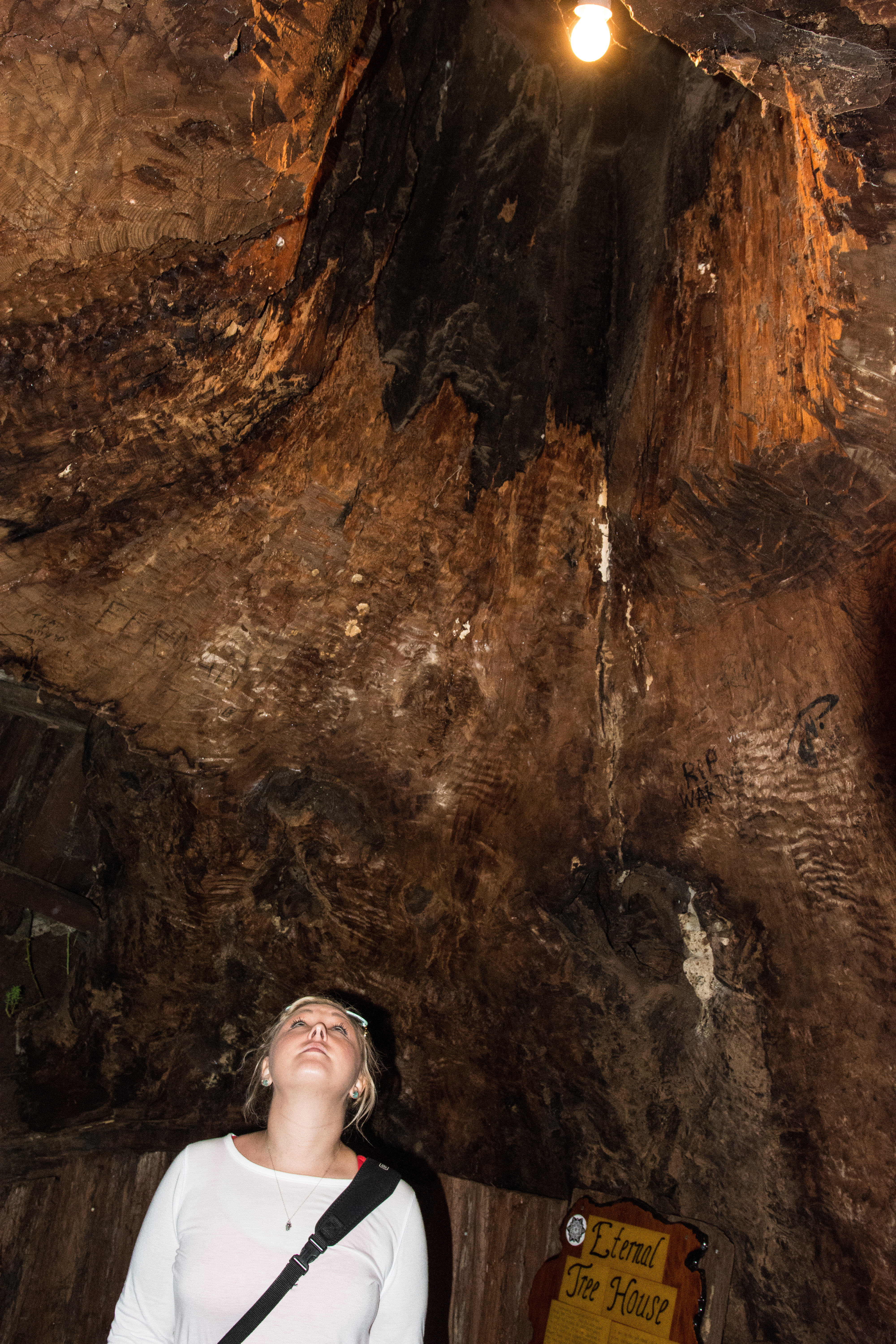
Looking up at the Eternal Tree House in Redwood National Park

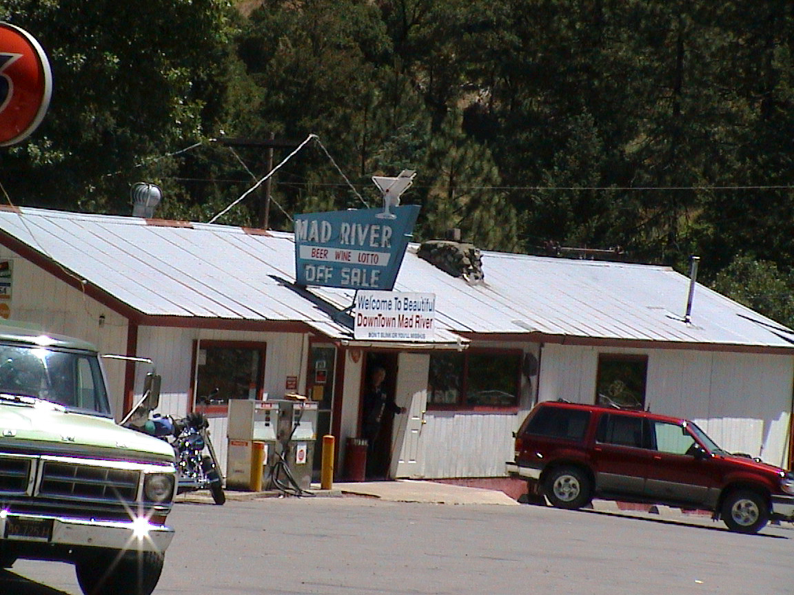
Mad River tavern

Pelayo's Lumia 900_004594
Big Trees on the Horizon

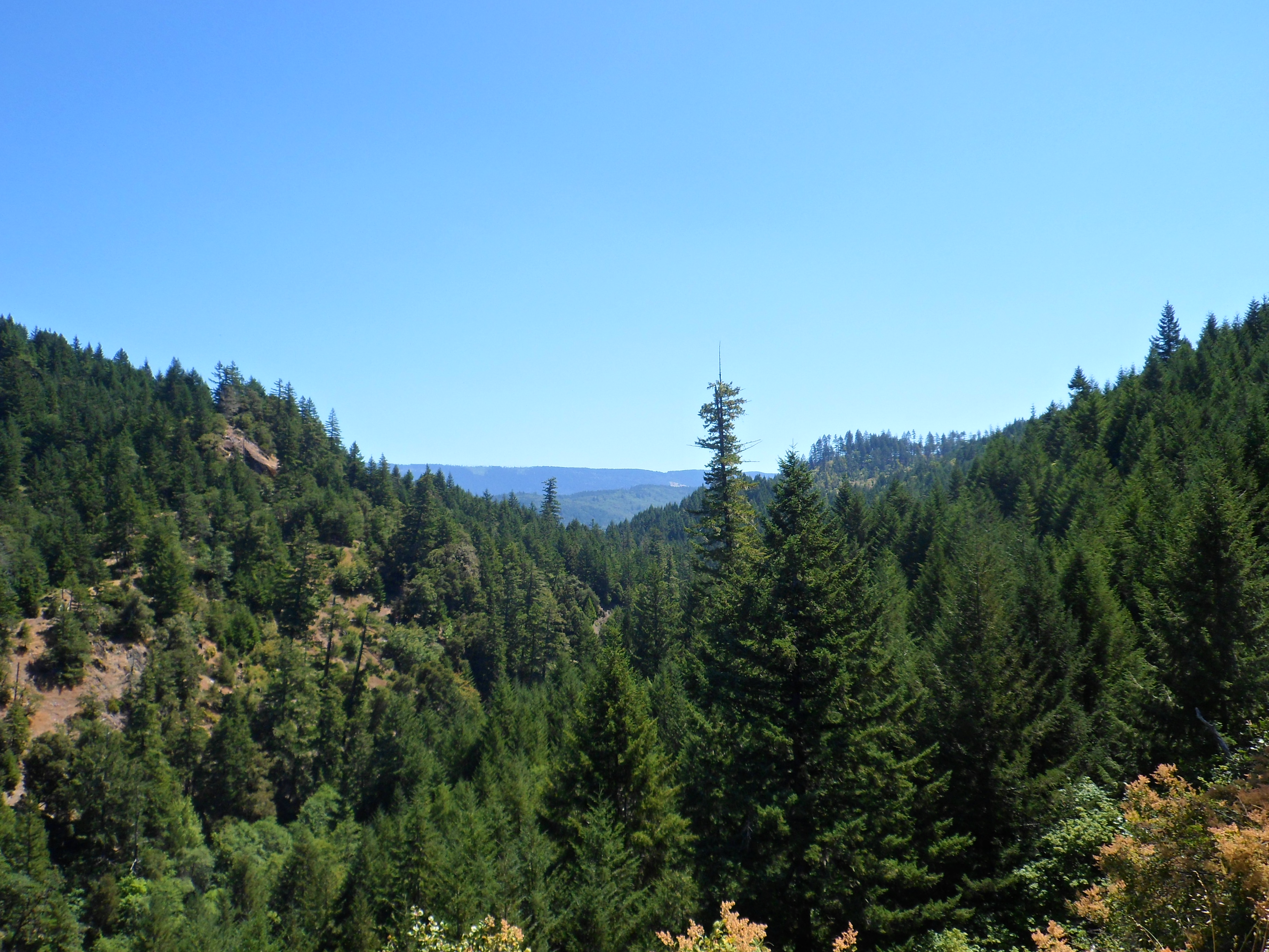
Blake Mountain

Hwy. 36 overlook
Hwy. 36 overlook
This was a great spot. Need to get back here.
060 California, Mad River Shop US36

Pale Swallowtail
Topographic Map of Lamb Creek, Mad River, CA, USA
Find elevation by address:

Places near Lamb Creek, Mad River, CA, USA:
Mad River
Salyer Mad River Road
Black Lassic
2500 Burr Valley Rd
Fir Cove Campground
Ruth, CA, USA
35 Church St, Blocksburg, CA, USA
Blocksburg
70 Old Bluff Rd, Zenia, CA, USA
Zenia
Ruth
Mad River Rd, Mad River, CA, USA
Railroad Ave, Alderpoint, CA, USA
850 Ponderosa Rd
570 3 Hills Rd
Colony Rd, Myers Flat, CA, USA
4th St, Alderpoint, CA, USA
Alderpoint
Zenia Lake Mountain Rd, Zenia, CA, USA
Steelhead Rd, Alderpoint, CA, USA
Recent Searches:
- Elevation of Corso Fratelli Cairoli, 35, Macerata MC, Italy
- Elevation of Tallevast Rd, Sarasota, FL, USA
- Elevation of 4th St E, Sonoma, CA, USA
- Elevation of Black Hollow Rd, Pennsdale, PA, USA
- Elevation of Oakland Ave, Williamsport, PA, USA
- Elevation of Pedrógão Grande, Portugal
- Elevation of Klee Dr, Martinsburg, WV, USA
- Elevation of Via Roma, Pieranica CR, Italy
- Elevation of Tavkvetili Mountain, Georgia
- Elevation of Hartfords Bluff Cir, Mt Pleasant, SC, USA