Elevation of Burr Valley Rd, Bridgeville, CA, USA
Location: United States > California > Trinity County > Bridgeville >
Longitude: -123.63053
Latitude: 40.456076
Elevation: 1095m / 3593feet
Barometric Pressure: 89KPa
Elevation Map:
Satellite Map:
Related Photos:
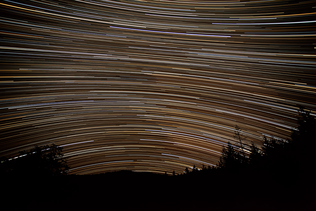
Milky Way Lounge: Humboldt County, CA
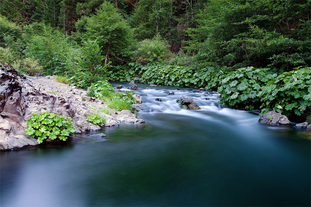
The Fishing Hole: Mad River, California
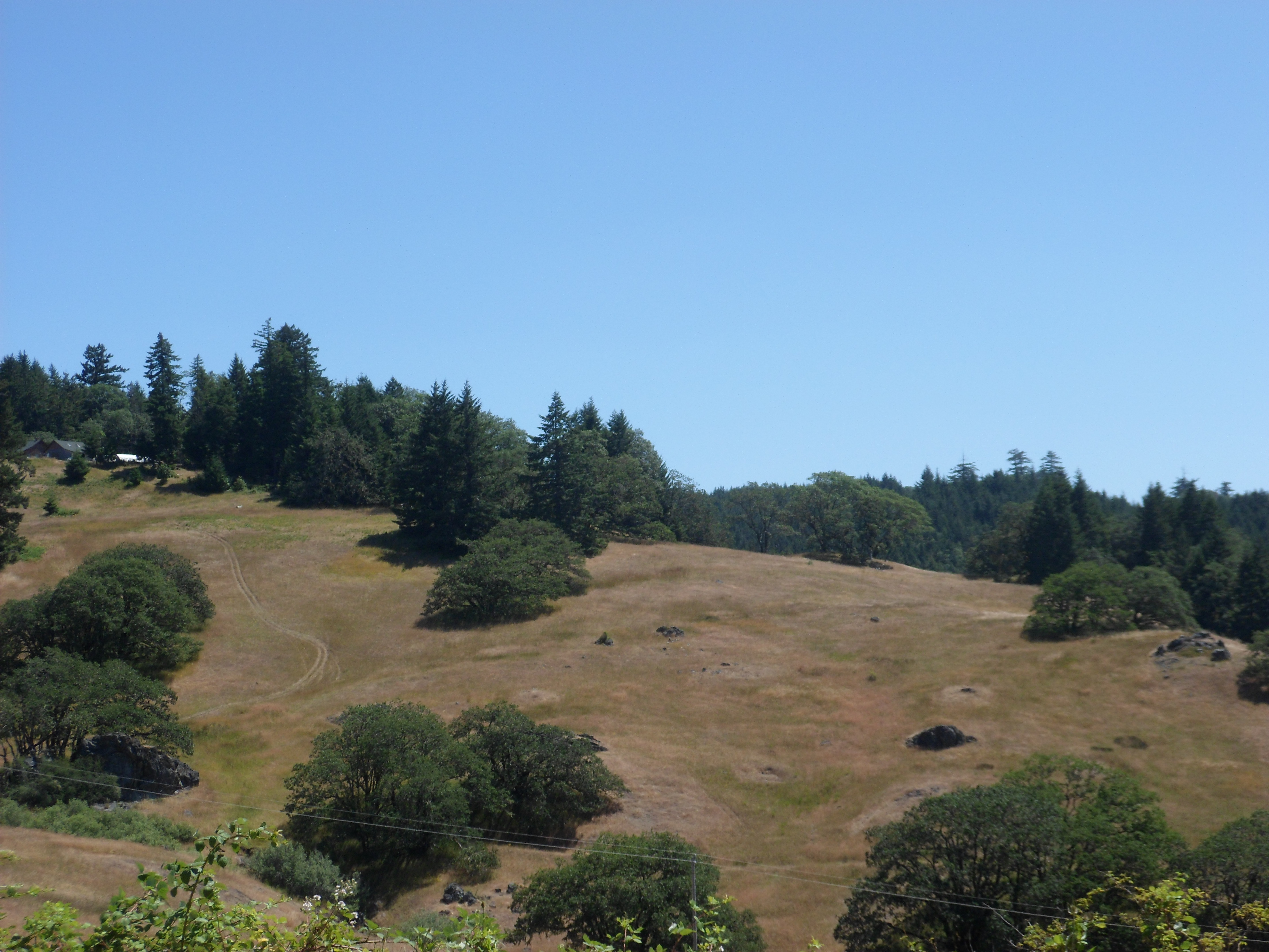
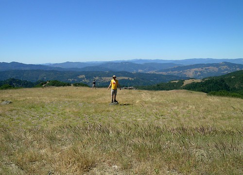
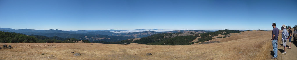
Hwy. 36 overlook
Hwy. 36 overlook

Humboldt Fog (not the cheese)

Hwy. 36 overlook
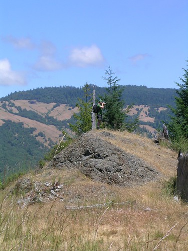
Big Rock with No Name
Soldier's Grove
Hwy. 36 overlook

Robbie on a Cliff
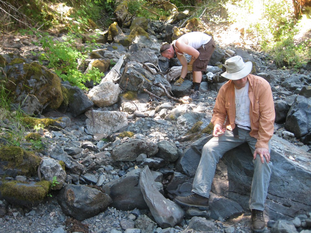
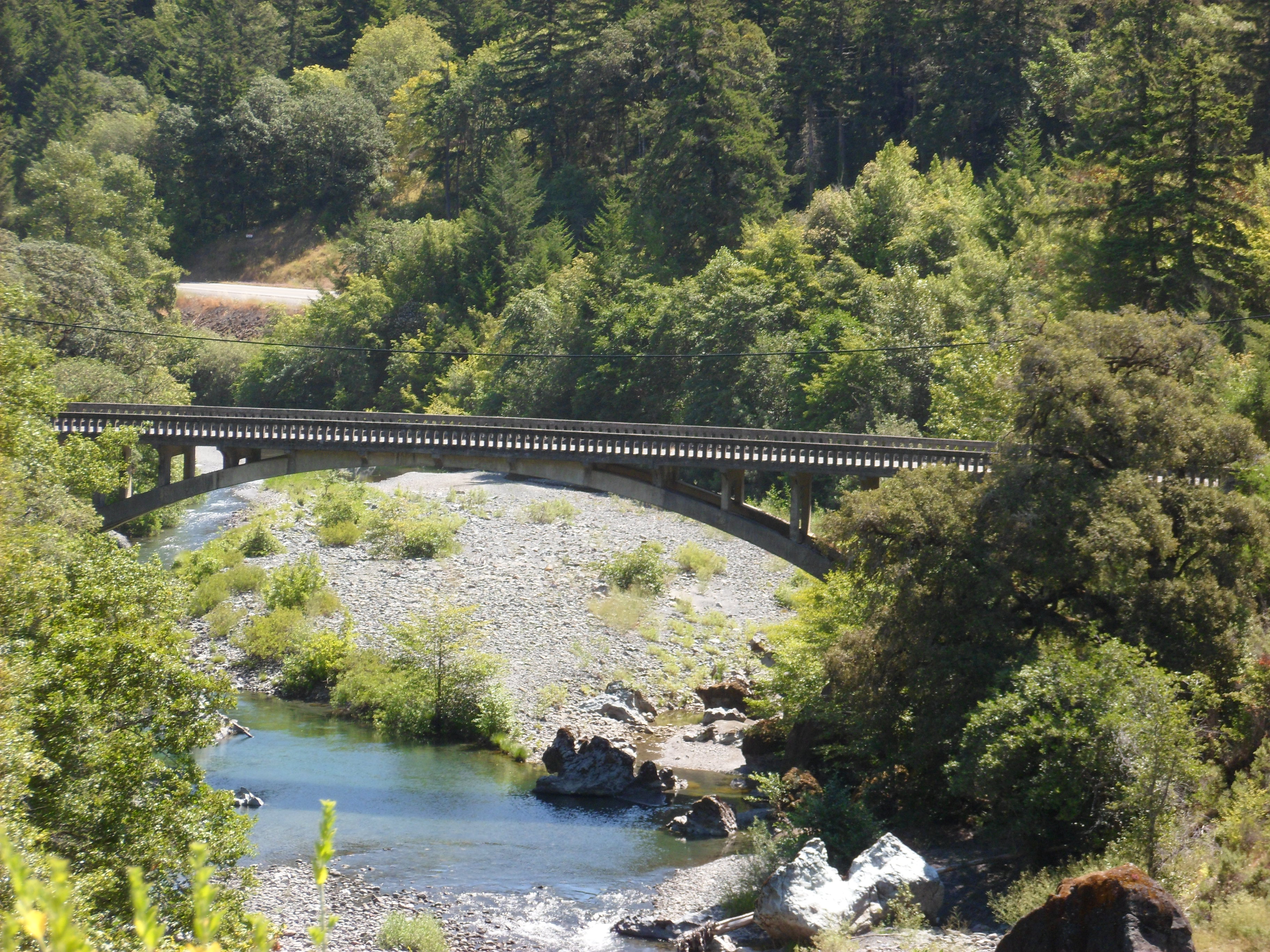
Geology Lesson in the Culvert
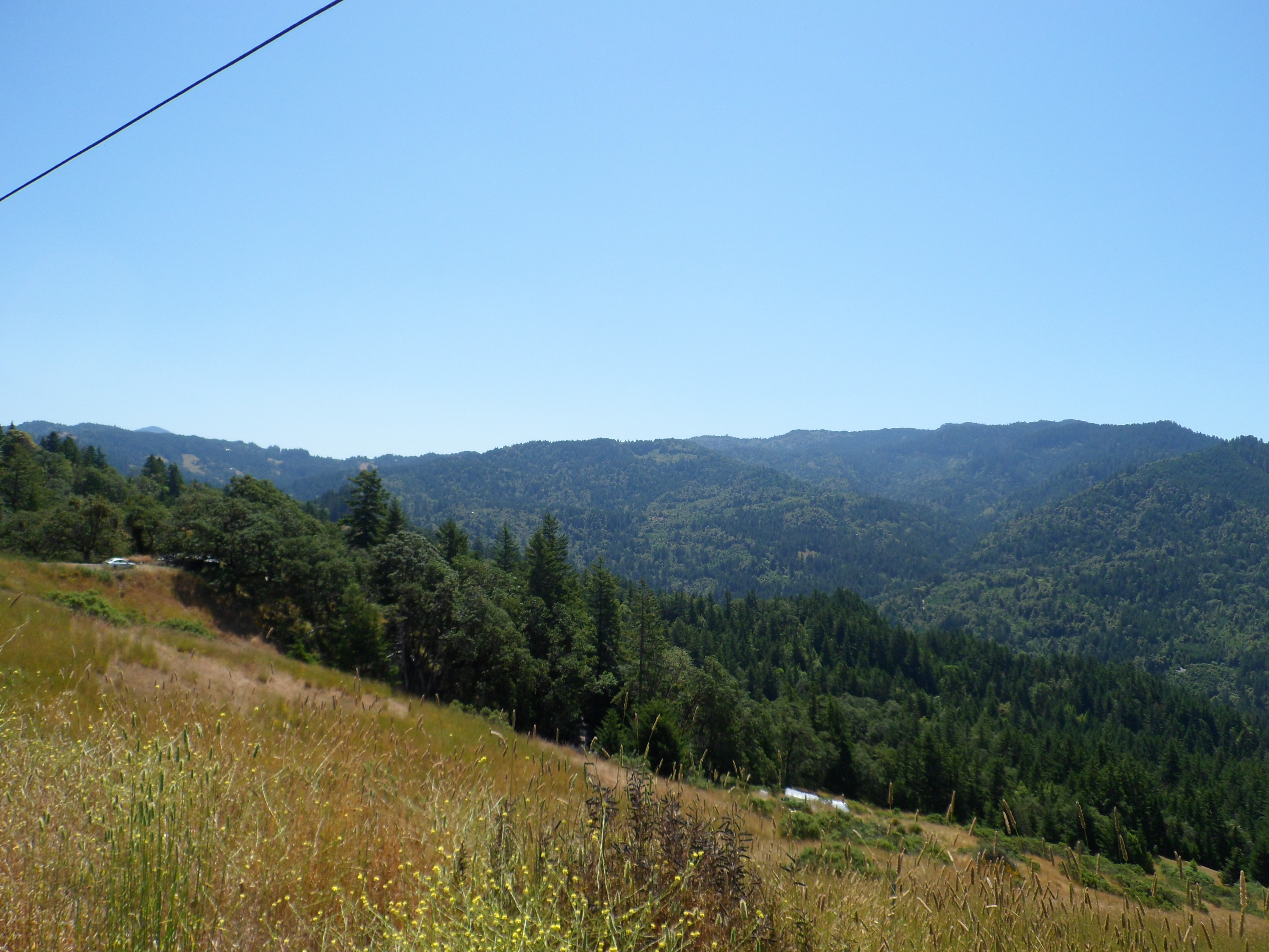
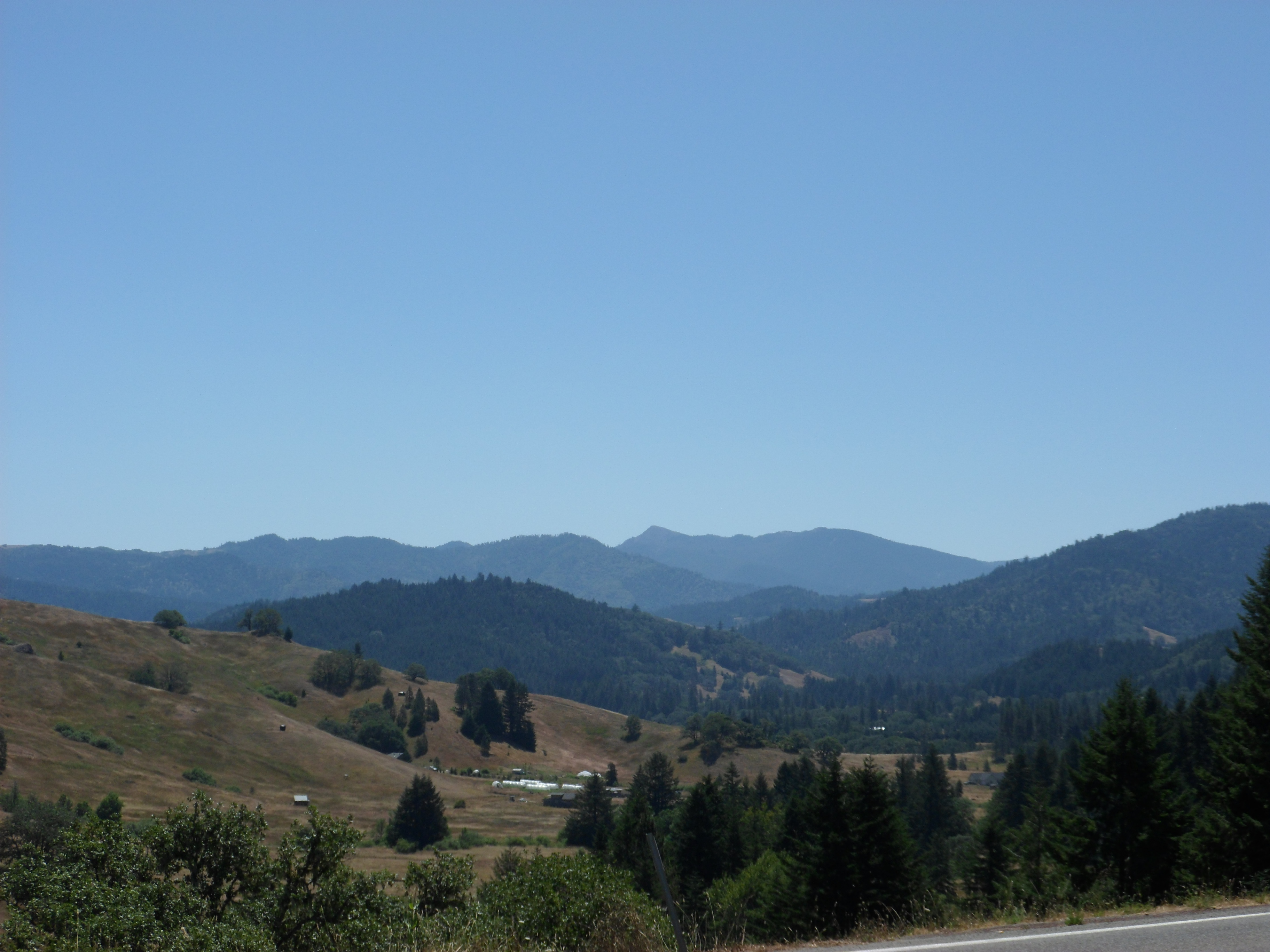
Soldier’s Grove Panorama
Hwy. 36 overlook
Topographic Map of Burr Valley Rd, Bridgeville, CA, USA
Find elevation by address:

Places near Burr Valley Rd, Bridgeville, CA, USA:
Ruth, CA, USA
Salyer Mad River Road
Mad River
Lamb Creek
Black Lassic
35 Church St, Blocksburg, CA, USA
Blocksburg
Colony Rd, Myers Flat, CA, USA
Railroad Ave, Alderpoint, CA, USA
Fir Cove Campground
Alderpoint
4th St, Alderpoint, CA, USA
70 Old Bluff Rd, Zenia, CA, USA
Zenia
Steelhead Rd, Alderpoint, CA, USA
6205 Rancho Sequoia Dr
Zenia Lake Mountain Rd, Zenia, CA, USA
Ruth
Mad River Rd, Mad River, CA, USA
Harris Rd, Garberville, CA, USA
Recent Searches:
- Elevation of Corso Fratelli Cairoli, 35, Macerata MC, Italy
- Elevation of Tallevast Rd, Sarasota, FL, USA
- Elevation of 4th St E, Sonoma, CA, USA
- Elevation of Black Hollow Rd, Pennsdale, PA, USA
- Elevation of Oakland Ave, Williamsport, PA, USA
- Elevation of Pedrógão Grande, Portugal
- Elevation of Klee Dr, Martinsburg, WV, USA
- Elevation of Via Roma, Pieranica CR, Italy
- Elevation of Tavkvetili Mountain, Georgia
- Elevation of Hartfords Bluff Cir, Mt Pleasant, SC, USA