Elevation of 70 Old Bluff Rd, Zenia, CA, USA
Location: United States > California > Trinity County > Zenia >
Longitude: -123.49253
Latitude: 40.206841
Elevation: 903m / 2963feet
Barometric Pressure: 91KPa
Elevation Map:
Satellite Map:
Related Photos:
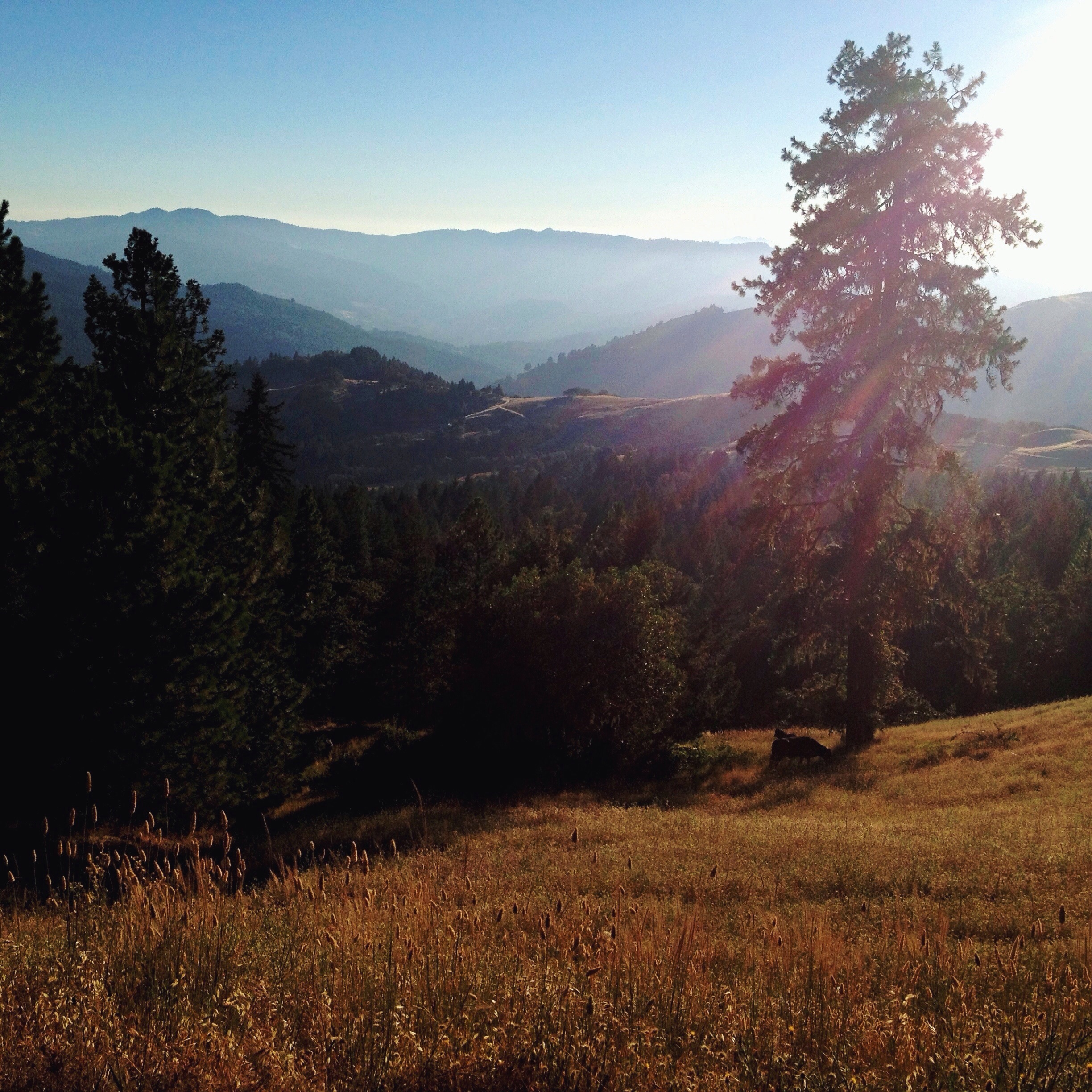
Coffee Sipping View
Grazing Cow on a Hillside

Getting Weird in Tall Grass with KaleidaCam.
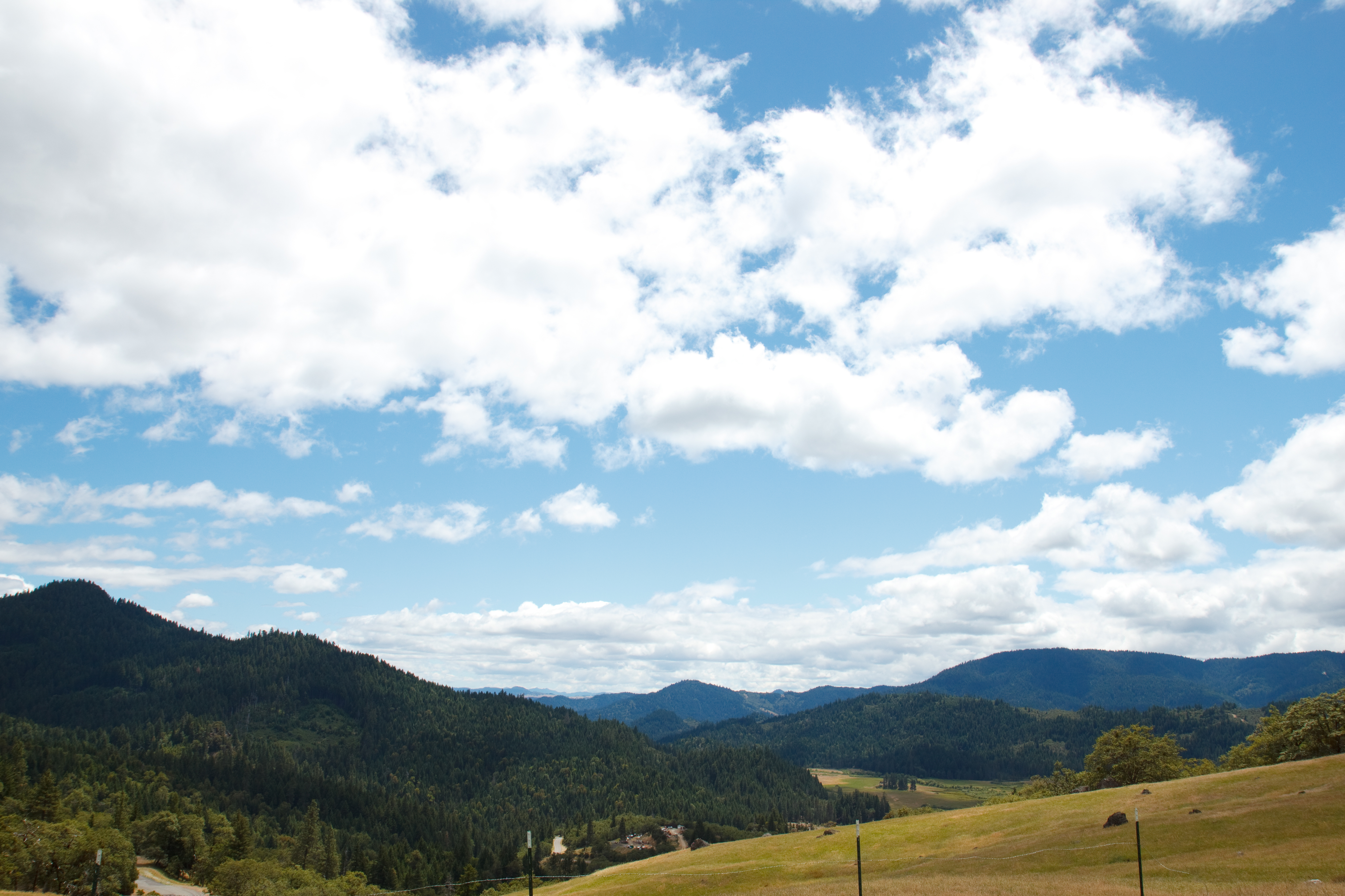
Hettenshaw Valley

Gorgon Copper

Sharp Stuff

Little Purple Flowers

Night Time

C47 on Tree Line

Peeling Airstream

TreeChain Hook

Wild Sunflower
Ghost in the Night
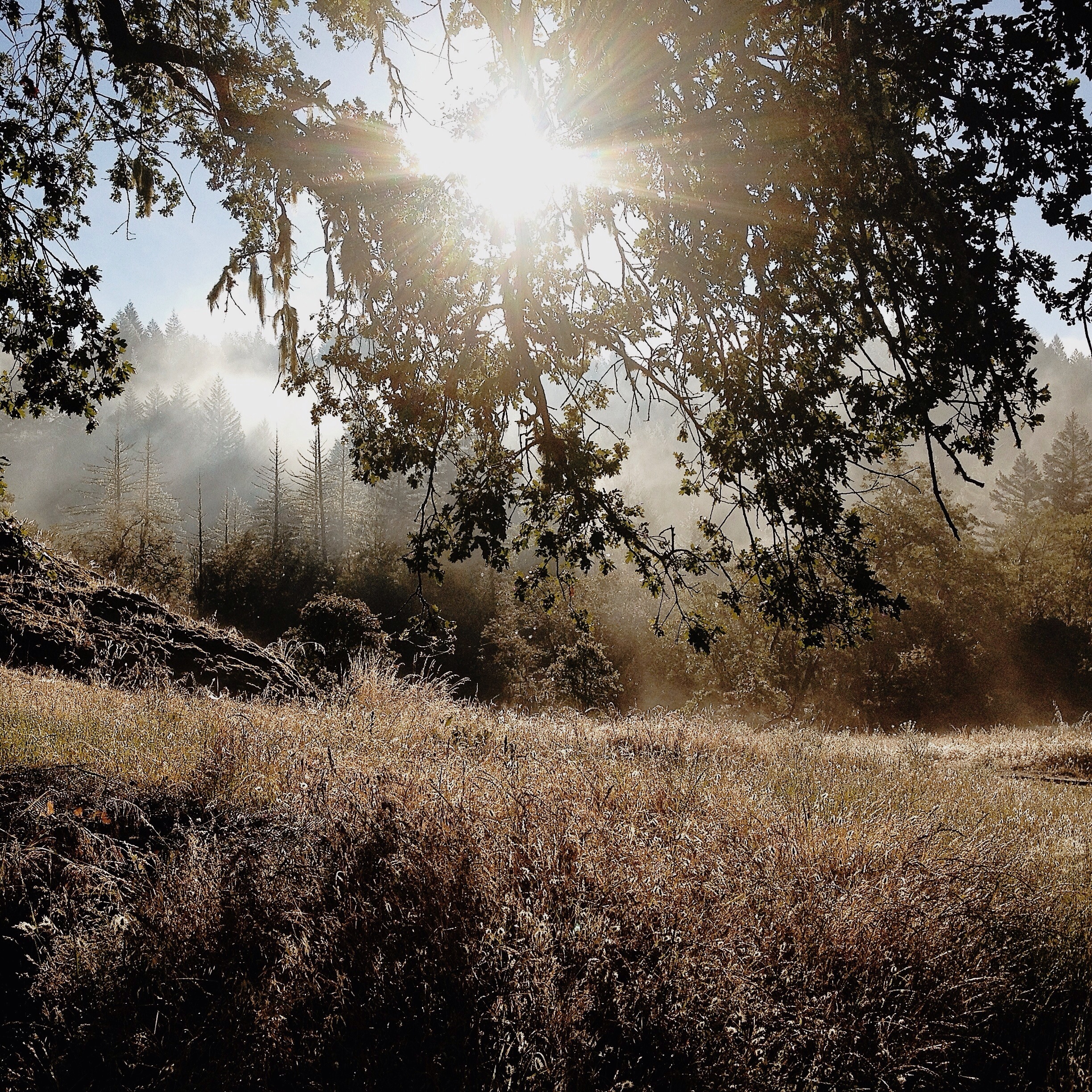
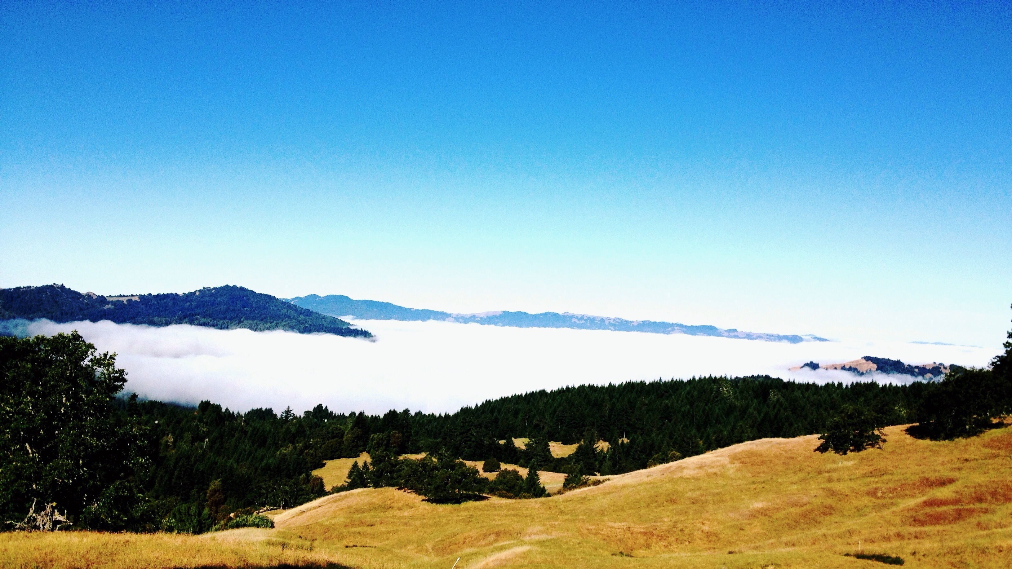
Field, Trees, & Misty Mountain Morning

the fountainhead

Gorgon Copper

Northern Checkerspot

Pacific Tree (Chorus) Frog

Pacific Tree (Chorus) Frog

Pacific Tree (Chorus) Frog

Pacific Tree (Chorus) Frog
Topographic Map of 70 Old Bluff Rd, Zenia, CA, USA
Find elevation by address:

Places near 70 Old Bluff Rd, Zenia, CA, USA:
Zenia
Zenia Lake Mountain Rd, Zenia, CA, USA
4th St, Alderpoint, CA, USA
Alderpoint
Black Lassic
Railroad Ave, Alderpoint, CA, USA
Steelhead Rd, Alderpoint, CA, USA
35 Church St, Blocksburg, CA, USA
Blocksburg
Fir Cove Campground
Mad River Rd, Mad River, CA, USA
Ruth
6205 Rancho Sequoia Dr
Harris Rd, Garberville, CA, USA
Long Ridge Rd, Zenia, CA, USA
Island Mountain Rd, Willits, CA, USA
Lamb Creek
Mad River
Colony Rd, Myers Flat, CA, USA
2500 Burr Valley Rd
Recent Searches:
- Elevation of Corso Fratelli Cairoli, 35, Macerata MC, Italy
- Elevation of Tallevast Rd, Sarasota, FL, USA
- Elevation of 4th St E, Sonoma, CA, USA
- Elevation of Black Hollow Rd, Pennsdale, PA, USA
- Elevation of Oakland Ave, Williamsport, PA, USA
- Elevation of Pedrógão Grande, Portugal
- Elevation of Klee Dr, Martinsburg, WV, USA
- Elevation of Via Roma, Pieranica CR, Italy
- Elevation of Tavkvetili Mountain, Georgia
- Elevation of Hartfords Bluff Cir, Mt Pleasant, SC, USA