Elevation of Fir Cove Campground, Mad River, CA, United States
Location: United States > California > Mad River >
Longitude: -123.40475
Latitude: 40.3429231
Elevation: 849m / 2785feet
Barometric Pressure: 92KPa
Elevation Map:
Satellite Map:
Related Photos:
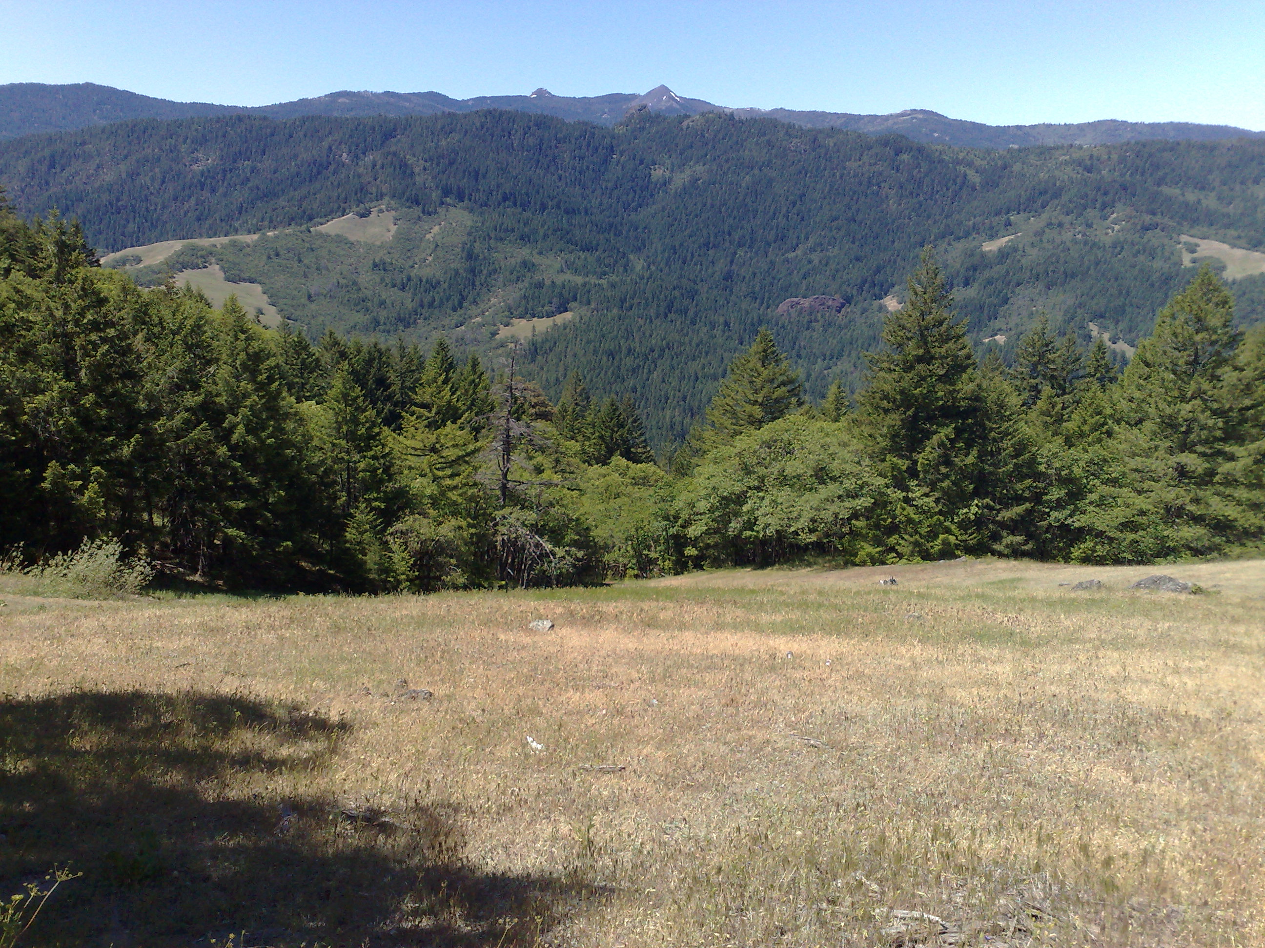
Another Wilderness view between Humboldt and Shasta
Topographic Map of Fir Cove Campground, Mad River, CA, United States
Find elevation by address:

Places near Fir Cove Campground, Mad River, CA, United States:
Ruth
Mad River Rd, Mad River, CA, USA
Black Lassic
Lamb Creek
Mad River
70 Old Bluff Rd, Zenia, CA, USA
Zenia
850 Ponderosa Rd
Zenia Lake Mountain Rd, Zenia, CA, USA
570 3 Hills Rd
35 Church St, Blocksburg, CA, USA
Blocksburg
2500 Burr Valley Rd
Salyer Mad River Road
4th St, Alderpoint, CA, USA
Alderpoint
Railroad Ave, Alderpoint, CA, USA
Ruth, CA, USA
Long Ridge Rd, Zenia, CA, USA
Steelhead Rd, Alderpoint, CA, USA
Recent Searches:
- Elevation of Corso Fratelli Cairoli, 35, Macerata MC, Italy
- Elevation of Tallevast Rd, Sarasota, FL, USA
- Elevation of 4th St E, Sonoma, CA, USA
- Elevation of Black Hollow Rd, Pennsdale, PA, USA
- Elevation of Oakland Ave, Williamsport, PA, USA
- Elevation of Pedrógão Grande, Portugal
- Elevation of Klee Dr, Martinsburg, WV, USA
- Elevation of Via Roma, Pieranica CR, Italy
- Elevation of Tavkvetili Mountain, Georgia
- Elevation of Hartfords Bluff Cir, Mt Pleasant, SC, USA