Elevation of Mad River Rd, Mad River, CA, USA
Location: United States > California > Mad River >
Longitude: -123.32145
Latitude: 40.268272
Elevation: 824m / 2703feet
Barometric Pressure: 92KPa
Elevation Map:
Satellite Map:
Related Photos:
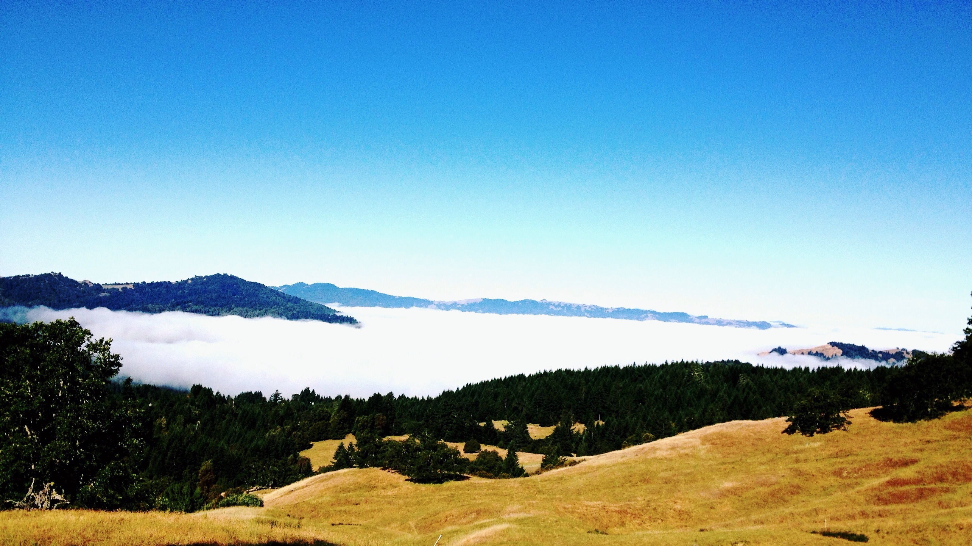
Coffee Sipping View
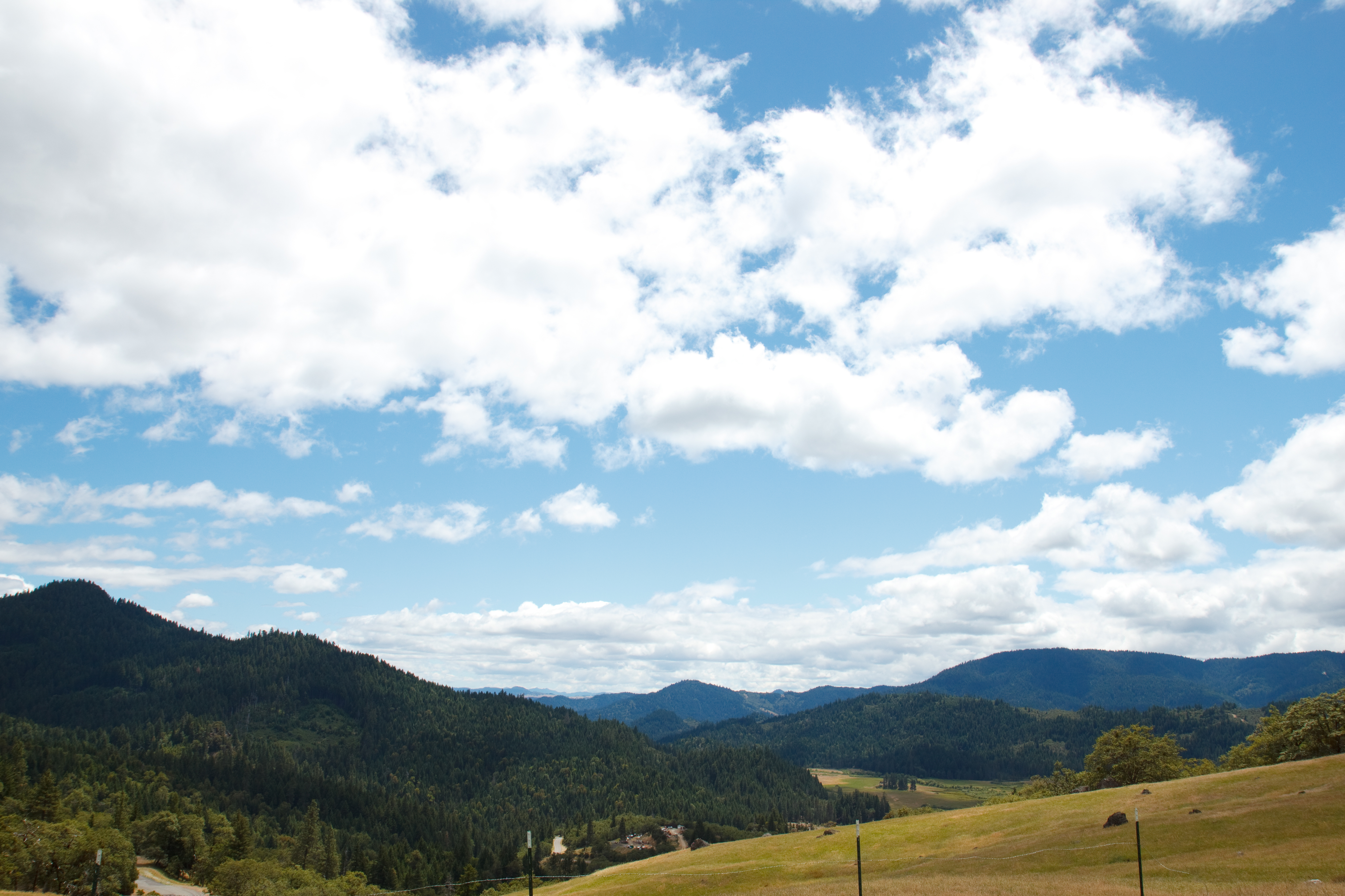
Hettenshaw Valley

Gorgon Copper

Black Spreadwing
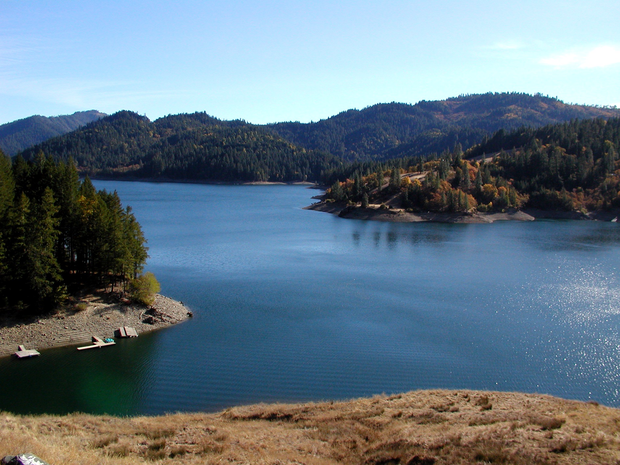
RuthLake2-110303

Black Spreadwing
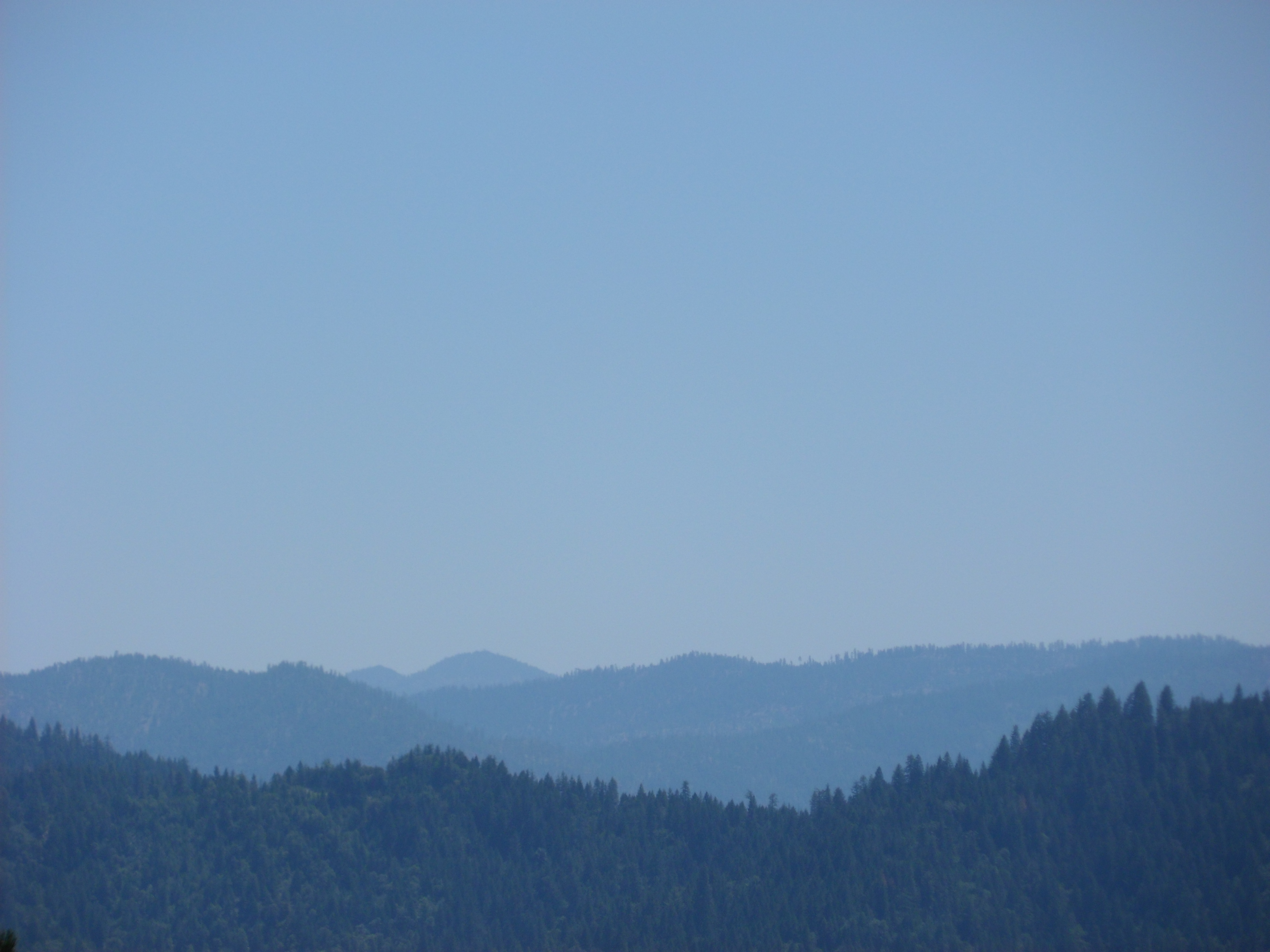
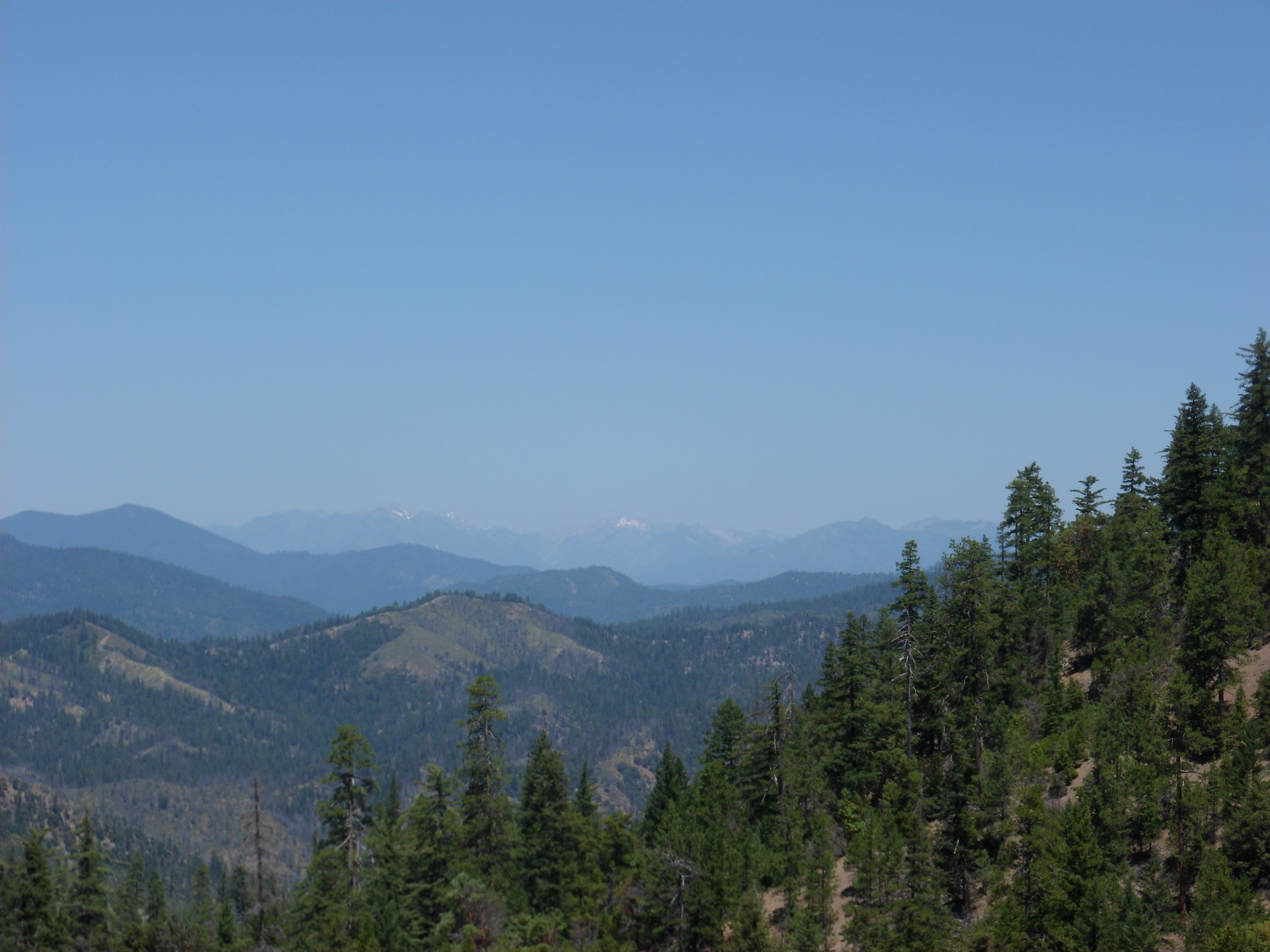
Hwy. 36 overlook

Black Spreadwing
Hwy. 36 overlook

_7170062.NEF

Northern California
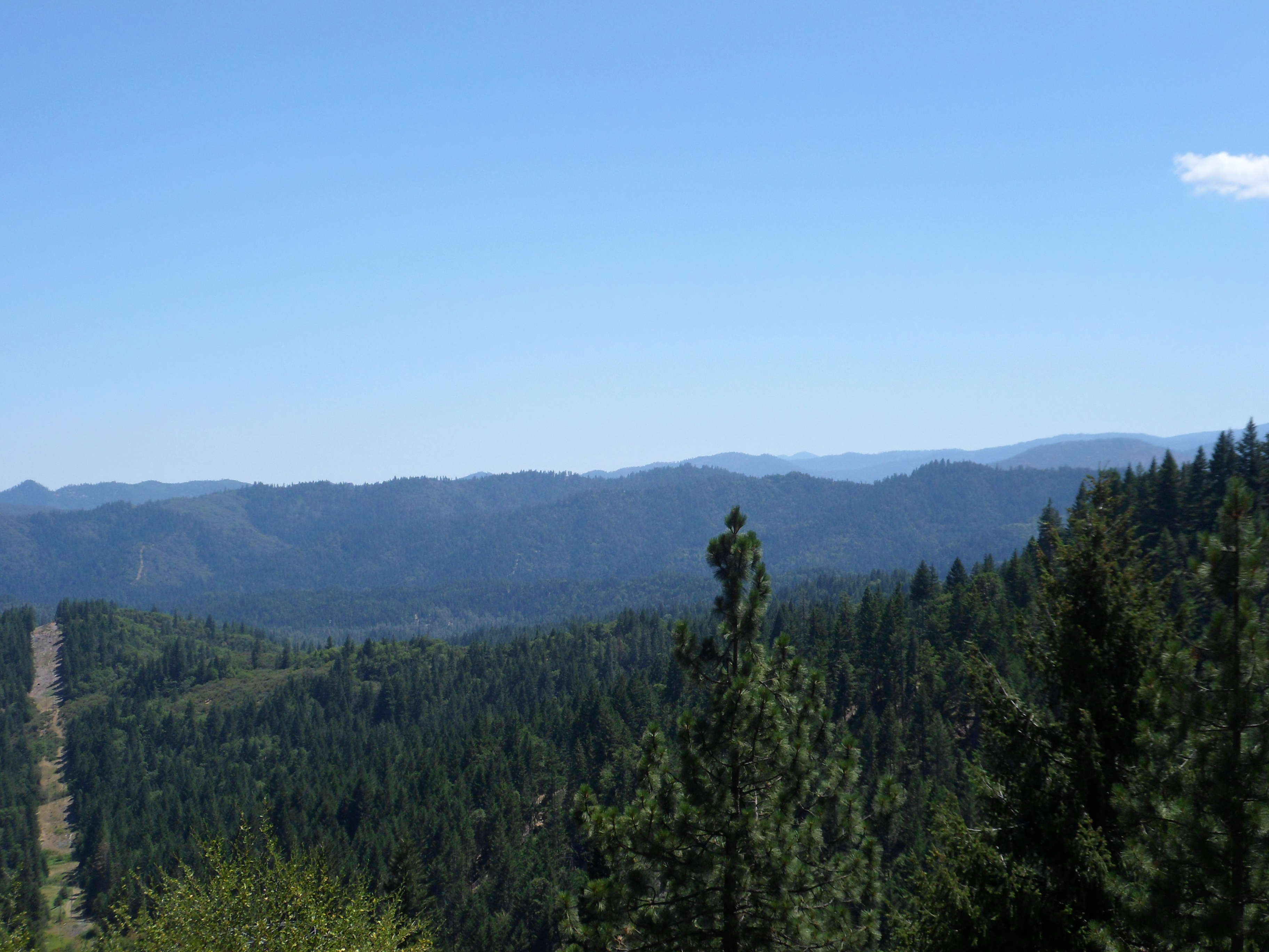
Hwy. 36 overlook
Topographic Map of Mad River Rd, Mad River, CA, USA
Find elevation by address:

Places near Mad River Rd, Mad River, CA, USA:
Ruth
Fir Cove Campground
850 Ponderosa Rd
Zenia Lake Mountain Rd, Zenia, CA, USA
Zenia
70 Old Bluff Rd, Zenia, CA, USA
570 3 Hills Rd
Long Ridge Rd, Zenia, CA, USA
Pine Root Spring Campground
Black Lassic
Lamb Creek
Mad River
2890 Wildwood Rd
Wildwood
Wildwood Rd, Wildwood, CA, USA
4th St, Alderpoint, CA, USA
Alderpoint
Yolla Bolla Area
35 Church St, Blocksburg, CA, USA
Blocksburg
Recent Searches:
- Elevation of Corso Fratelli Cairoli, 35, Macerata MC, Italy
- Elevation of Tallevast Rd, Sarasota, FL, USA
- Elevation of 4th St E, Sonoma, CA, USA
- Elevation of Black Hollow Rd, Pennsdale, PA, USA
- Elevation of Oakland Ave, Williamsport, PA, USA
- Elevation of Pedrógão Grande, Portugal
- Elevation of Klee Dr, Martinsburg, WV, USA
- Elevation of Via Roma, Pieranica CR, Italy
- Elevation of Tavkvetili Mountain, Georgia
- Elevation of Hartfords Bluff Cir, Mt Pleasant, SC, USA