Elevation of La Raye Dr, Yucaipa, CA, USA

Location: United States > California > San Bernardino County > Yucaipa >

Longitude: -117.05355

Latitude: 34.0114303

Elevation: 752m / 2467feet

Barometric Pressure: 93KPa

Elevation Map:

elevation map of La Raye Dr, Yucaipa, CA, USA

Satellite Map:

Satellite map of La Raye Dr, Yucaipa, CA, USA

Related Photos:

Bogart Park_0068
california trains casco redlands amtrakspecialprsgep30chpoochel
ATK 714E @ El Casco
grass tom landscape countryside farm scenic hills valley canon5d morenovalley canon28135 grubbe tomgrubbe
Valley View
mountains grass landscape countryside spring farm scenic hills valley morenovalley nortonyounglovereserve tomgrubbe tomgrubbecom
Shooting Spot in the Hills
california longexposure sky grass clouds unitedstates 52weeks sigma1020mmf456 calimesa nd110 52weekproject
the view from here [7:52]
california flowers blue green floral field yellow vertical gold one flora sunflower behind rearview peggy yucaipa ©allrightsreserved ©peggyhughes
sunny rear view
Bogart Park_0059
sevenoaksdam santaanariver
San Bernardino Valley
sevenoaksdam santaanariver
Seven Oaks Dam
oakglenca pond reeds cattails reflection losriosranchos mountains winter apples orchards trees inlandempireca agriculture farming dgrahamphoto
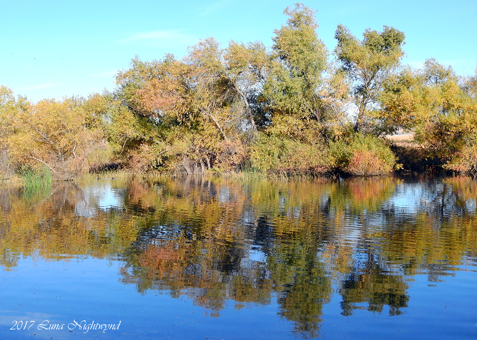
Winter Pond, Oak Glen, CA 1-19-13
flickrandroidapp:filter=none galaxys4
What a view this morning!
california up trains sp unionpacific southernpacific sd45 emd sd402 elcasco sd40 gp60 santimoteocanyon
Not Too Shabby
Bogart Park_0041
california snow cute clouds relax glasses healthy pretty view hiking flash dirt trail highland backpack workout fitness redlands fit trailmix mentone yucaipa sanbernardino tennisshoes canon50mm18 strobist canon550 zanjapeak canont2i
Original to these lands.
ranch field sunrise landscape farm pumpkins redlandsca oldwagon liveoakcanyon dgrahamphoto wildoakfarms
Live Oak Farms, Wagon 12-9-12
sky mountains clouds america morninglight stormclouds sanbernardinomountains panoramapoint dgrahamphoto uofredlandsr
Mountains from Panorama Point 11-18-12
Bogart Park_0039
california swimming canon outdoors socal 5d canon5d tcc swimmeet canondslr yucaipa kenszok theclaremontclub kszokphotography
Swim Lane
Bogart Park_0003
square squareformat lordkelvin iphoneography instagramapp uploaded:by=instagram foursquare:venue=4e1b18896284c069739b9c15
View from the patio. Good morning ya'll!!!
flowers macro nature blooms mothernature daylillies gemsofnature dgrahamphoto
Daylillies (2) 7-7-12
california snow mountains creek forest river landscape stream millcreek forestfalls
Snow Creek
San Timoteo Nature Trail
road longexposure snow mountains clouds landscape hills southerncalifornia banning inlandempire sangorgonio ndx00
View from Buff Rd LE
sunset lake reflection grass clouds pond lagoon hills bog sanjacinto sanjacintowildlifearea
Summer Splendor
california up san pacific hill union el canyon casco yuma beaumont subdivision timoteo sd70ace c45accte zmqlc
UP 7492
longexposure storm mountains field grass clouds creek landscape countryside earth hills cracked sanjacinto sanjacintowildlifearea
Earth and Renewal
sunset tom river landscape rocks stream dusk brook forestfalls underlight grubbe angelusoaks tomgrubbe
Twilight Rocks and Stream
el casco california unitedstates us beaumont hill up union pacific yuma subdivision sub train coal railroad locomotive socal southern
Snaking Up Beaumont
california news field fire natural smoke hill working burning powerlines burn disaster ash fighting journalism highway38 wildfire mentone yucaipa fireline
Yucaipa/Mentone Fire
Lonely Tree
green grass hills valley morenovalley
Spring Valley
millcreekcanyon sanbernardinonationalforest california photo digital spring canyon mountains mountsanbernardino
Mill Creek Canyon
trees sunset mountain storm clouds landscape stream dusk millcreek forestfalls tomgrubbe tomgrubbecom
Mill Creek Storm Sunset
trees sunset mountain storm clouds creek river landscape stream dusk millcreek forestfalls
Mill Creek and Storm III
Bastille Day, 2014
california longexposure water river landscape photography nikon rocks stream unitedstates nationalforest mentone sanbernardinocounty ndfilter d7000
Mill Creek - Mentone, CA, USA
california usa architecture canon landscape photo victorian historic bedbreakfast 2009 redlands 1890 turnofthecentury 40d moreymansion photographersnaturecom davetoussaint davetoussaintcom americasfavoritevictorian
Morey Mansion of Redlands
A touch of Autumn - 8-21 am - San Jacinto WR - 11-26-17
Sunsets are beautiful
california storm clouds landscape desert earth perspective drought crackedearth sanjacintowildlifearea focusblend
Underworld II
california ca travel usa nature weather canon landscape photo interestingness google interesting photographer cloudy mark smoke iii extreme picture july clarity fullmoon explore flame socal adobe monsoon getty 5d southerncalifornia firefighting firefighter brushfire adjust morenovalley 2015 wildlandfire denoise topazlabs calfire vegetationfire photographersnaturecom davetoussaint riversidecountyfiredepartment photoshopcc merwinfire
Fire under a Full Moon II