Elevation of Calimesa, CA, USA

Location: United States > California > Riverside County >

Longitude: -117.06197

Latitude: 34.0039039

Elevation: 731m / 2398feet

Barometric Pressure: 93KPa

Elevation Map:

elevation map of Calimesa, CA, USA

Satellite Map:

Satellite map of Calimesa, CA, USA

Related Photos:

road longexposure snow mountains clouds landscape hills southerncalifornia banning inlandempire sangorgonio ndx00
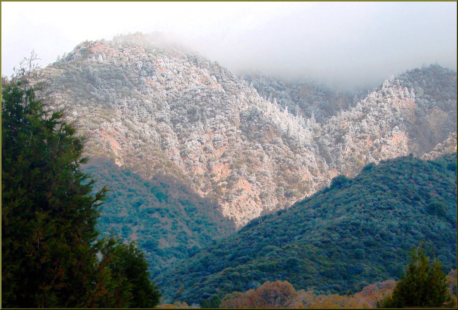
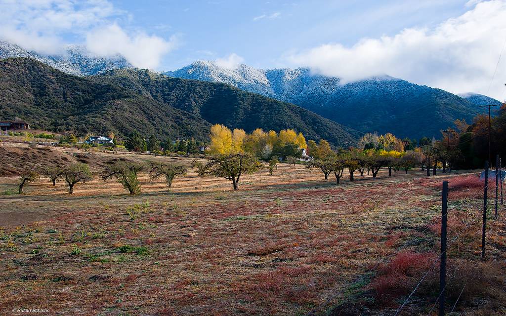
View from Buff Rd LE
california trains casco redlands amtrakspecialprsgep30chpoochel
ATK 714E @ El Casco
california longexposure sky grass clouds unitedstates 52weeks sigma1020mmf456 calimesa nd110 52weekproject
the view from here [7:52]
california up trains sp unionpacific southernpacific sd45 emd sd402 elcasco sd40 gp60 santimoteocanyon
Not Too Shabby
trees winter mountains reflection reeds pond farming cattails apples agriculture orchards oakglenca inlandempireca losriosranchos dgrahamphoto
Winter Pond, Oak Glen, CA 1-19-13
california flowers blue green floral field yellow vertical gold one flora sunflower behind rearview peggy yucaipa ©allrightsreserved ©peggyhughes
sunny rear view
Bogart Park_0068
ranch field sunrise landscape farm pumpkins redlandsca oldwagon liveoakcanyon dgrahamphoto wildoakfarms
Live Oak Farms, Wagon 12-9-12
autumn fall pumpkin lisadrummond liveoakcanyonpumpkinpatch
"Fall has always been my favorite season
sunrise trails hills mansion canyons redlandsca livinglarge carriagetrail santimoteocanyon redlandsconservancy dgrahamphoto
Living Large, Canyon View, Redlands 5-19-13
trees usa snow mountains fall clouds america fallcolors harvest fences foliage farms apples farmbuildings appleorchards oakglenca earlyamericana dgrahamphoto
Oak Glen Harvest Time 11-10-12
flowers macro nature blooms mothernature daylillies gemsofnature dgrahamphoto
Daylillies (2) 7-7-12
california geotagged unitedstates mountainhomevillage 296kmtomountainhomevillageincaliforniaunitedstates geo:lat=34106112 geo:lon=117030594
Winding Road up Morton Peak
Bogart Park_0058
Bogart Park_0041
longexposure mountains grass landscape countryside spring farm scenic hills valley hoya morenovalley ndx400 nortonyounglovereserve tomgrubbe tomgrubbecom
Valley View II
Bogart Park_0059
palms sunsets skyandclouds summernights redlandsca summermusicfestival openairconcerts theredlandsbowl dgrahamphoto symphonyorchestras redlandscommunitymusicassociation frankfetta musicalvenuesinunitedstates
Sunset Over Redlands Bowl 6-26-13
Bogart Park_0039
california travel lake mountains unitedstates hills day1 miscellaneous lakeperris morenovalley project365 colorefexpro lakeperrisstaterecreationarea lookingouttheairplanewindow lookingoutsideplanewindow nikond800e lookingoutairplanewindow flightaustolax citygridpattern
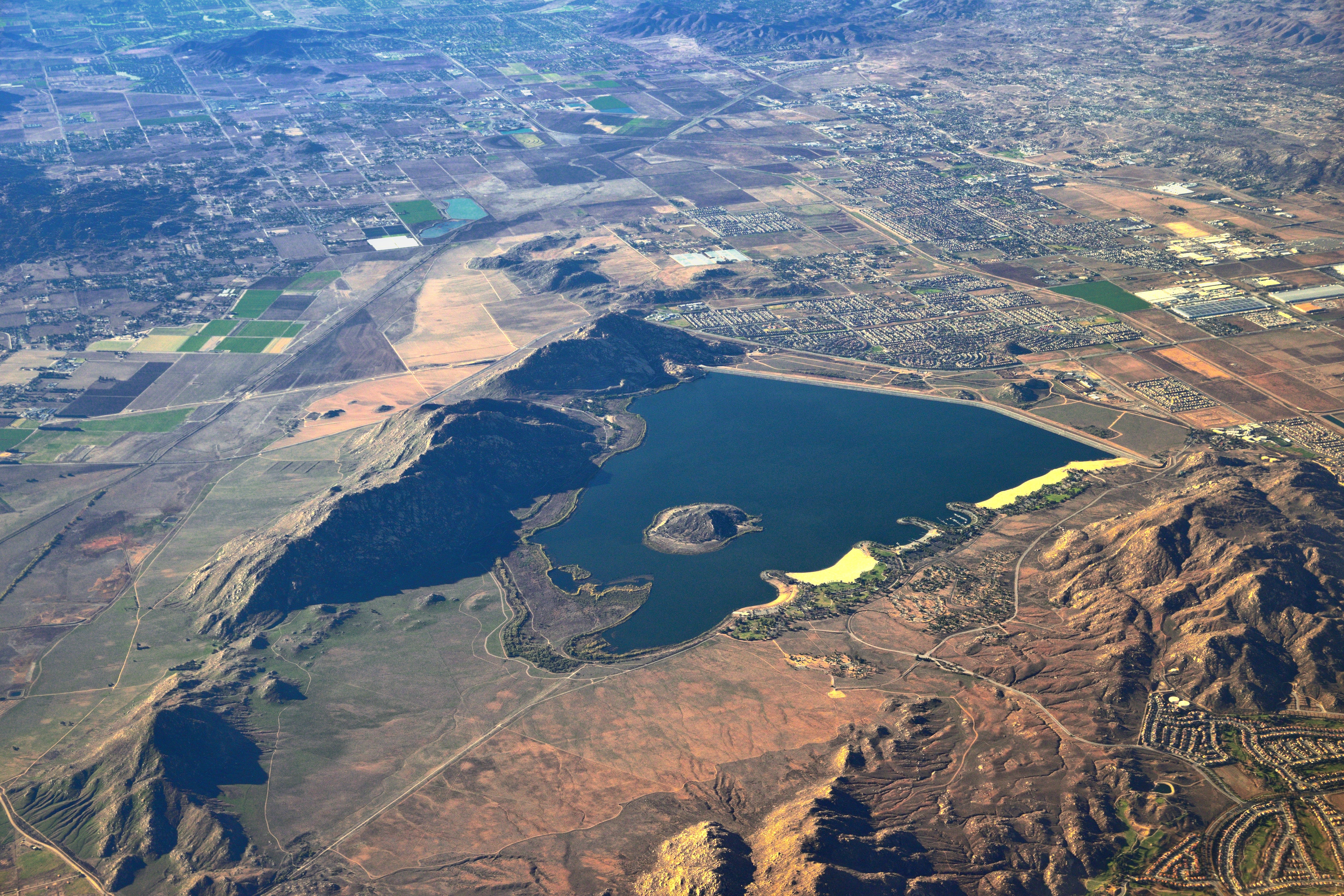
Lake Perris, Surrounded by Hills and Mountains
square squareformat iphoneography instagramapp uploaded:by=instagram foursquare:venue=91371
My view from below at breakfast.
california up san pacific hill union el canyon casco yuma beaumont subdivision timoteo sd70ace c45accte zmqlc
UP 7492
california sky storm clouds landscape spring hills badlands morenovalley jackrabbittrail
Hills from Jack Rabbit Trail
sunset lake reflection grass clouds pond lagoon hills bog sanjacinto sanjacintowildlifearea
Summer Splendor
up san pacific ns hill union norfolk canyon southern beaumont ordway timoteo zlcai
UP 7939
california ca travel usa nature weather canon landscape photo interestingness google interesting photographer cloudy mark smoke iii extreme picture july clarity fullmoon explore flame socal adobe monsoon getty 5d southerncalifornia firefighting firefighter brushfire adjust morenovalley 2015 wildlandfire denoise topazlabs calfire vegetationfire photographersnaturecom davetoussaint riversidecountyfiredepartment photoshopcc merwinfire
Fire under a Full Moon II
sunset tom river landscape rocks stream dusk brook forestfalls underlight grubbe angelusoaks tomgrubbe
Twilight Rocks and Stream
california autumn sunset sky storm fall clouds landscape countryside scenic hills valley morenovalley nortonyounglovereserve
Sunset Valley I
california news field fire natural smoke hill working burning powerlines burn disaster ash fighting journalism highway38 wildfire mentone yucaipa fireline
Yucaipa/Mentone Fire
longexposure trees mountain landscape stream dusk millcreek forestfalls tomgrubbe tomgrubbecom nxd400
Feelings of Aqua
green grass hills valley morenovalley
Spring Valley
storm tree grass landscape countryside spring farm scenic valley canon5d morenovalley canon1740 tomgrubbe tomgrubbecom
Tree and Field
sunset lake storm clouds pond lagoon hills bog sanjacinto underlight sanjacintowildlifearea
Sunset Melody
california usa architecture canon landscape photo victorian historic bedbreakfast 2009 redlands 1890 turnofthecentury 40d moreymansion photographersnaturecom davetoussaint davetoussaintcom americasfavoritevictorian
Morey Mansion of Redlands
california autumn trees houses snow mountains fall landscape fences fields apples coulds orchards oakglen appleorchards
Autumn day in apple country
california trees fall landscape photography nikon seasons unitedstates mentone sanbernardinocounty d7000 photographersontumblr
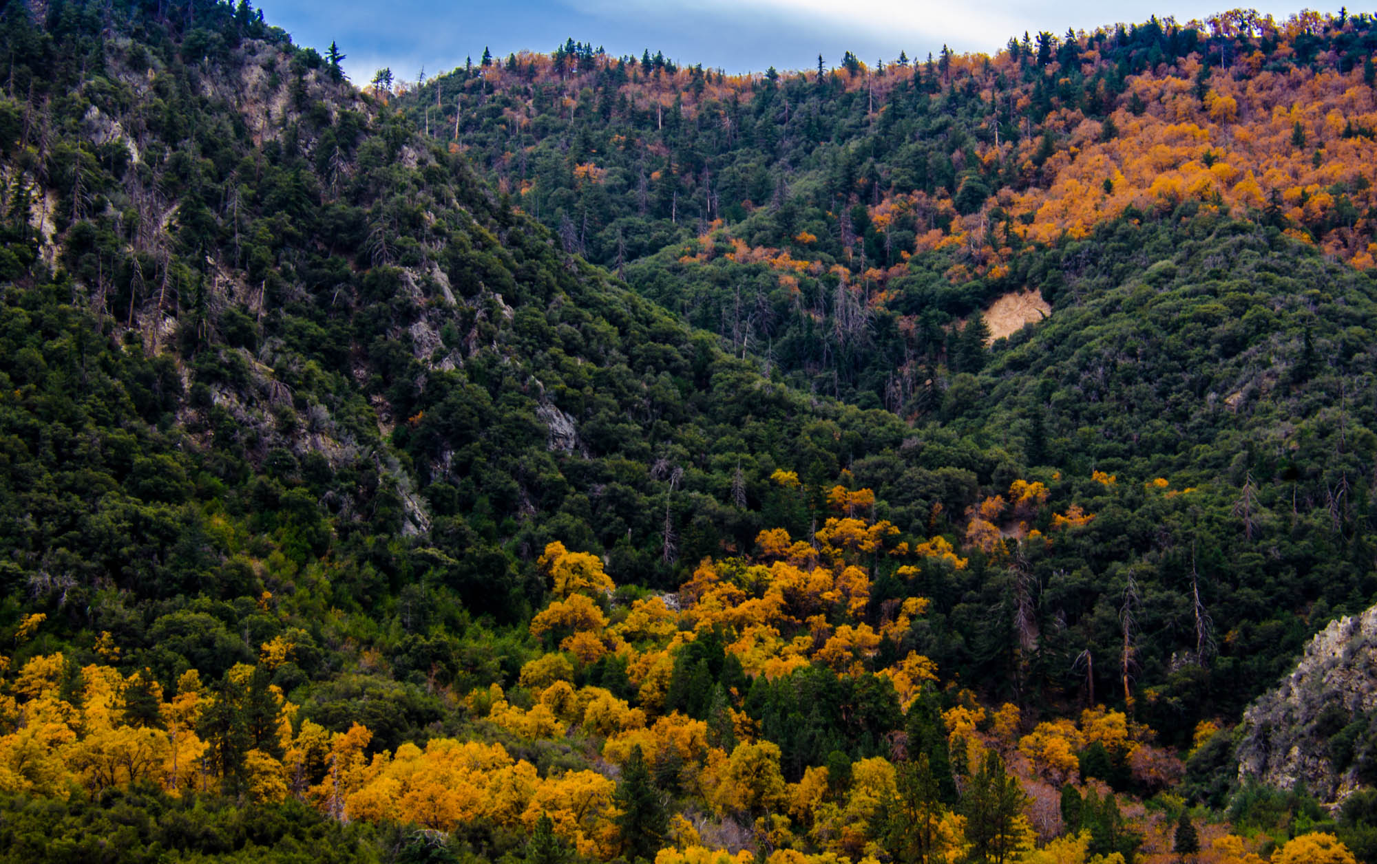
Orange and Green - San Bernardino National Forest, CA, USA
grass tom landscape countryside farm scenic hills valley canon5d morenovalley canon28135 grubbe tomgrubbe
Valley View
trees water grass sunrise palms landscape ducks shade waterfowl ponds redlandsca waterreflection geeze fordpark dgrahamphoto
Social Gathering, Ford Park, Redlands, CA 8-12
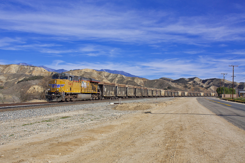
Rock Train
light cars night highway long exposure trails freeway trucks
Good Intentions