Elevation of Gold Spur Ct, Calimesa, CA, USA
Location: United States > California > Riverside County > Calimesa >
Longitude: -117.04982
Latitude: 33.9926003
Elevation: 750m / 2461feet
Barometric Pressure: 93KPa
Elevation Map:
Satellite Map:
Related Photos:

View from Buff Rd LE

Northern Shoveler 4767

Bogart Park_0068

ATK 714E @ El Casco

Shooting Spot in the Hills

the view from here [7:52]

sunny rear view

Bogart Park_0059

San Bernardino Valley

Seven Oaks Dam

Winter Pond, Oak Glen, CA 1-19-13

What a view this morning!

Not Too Shabby

Bogart Park_0041

Original to these lands.

Live Oak Farms, Wagon 12-9-12

Mountains from Panorama Point 11-18-12

Bogart Park_0039

Swim Lane

Bogart Park_0003

Living Large, Canyon View, Redlands 5-19-13

Snow Creek

San Timoteo Nature Trail

Summer Splendor
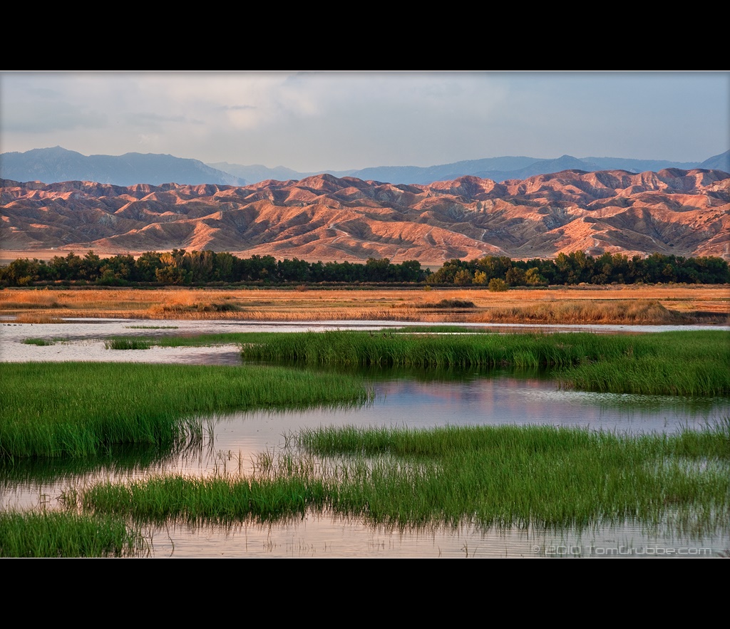
Grass and Badlands

Dream Field

UP 7492

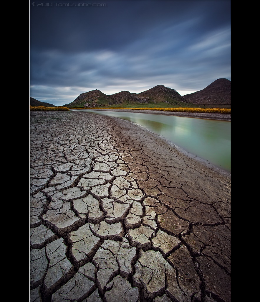
Earth and Renewal

Twilight Rocks and Stream

Snaking Up Beaumont

Yucaipa/Mentone Fire

Lonely Tree

Spring Valley

Mill Creek Canyon

Mill Creek Storm Sunset
Stream Through Time II

Mill Creek and Storm III

Bastille Day, 2014

Mill Creek - Mentone, CA, USA

Morey Mansion of Redlands
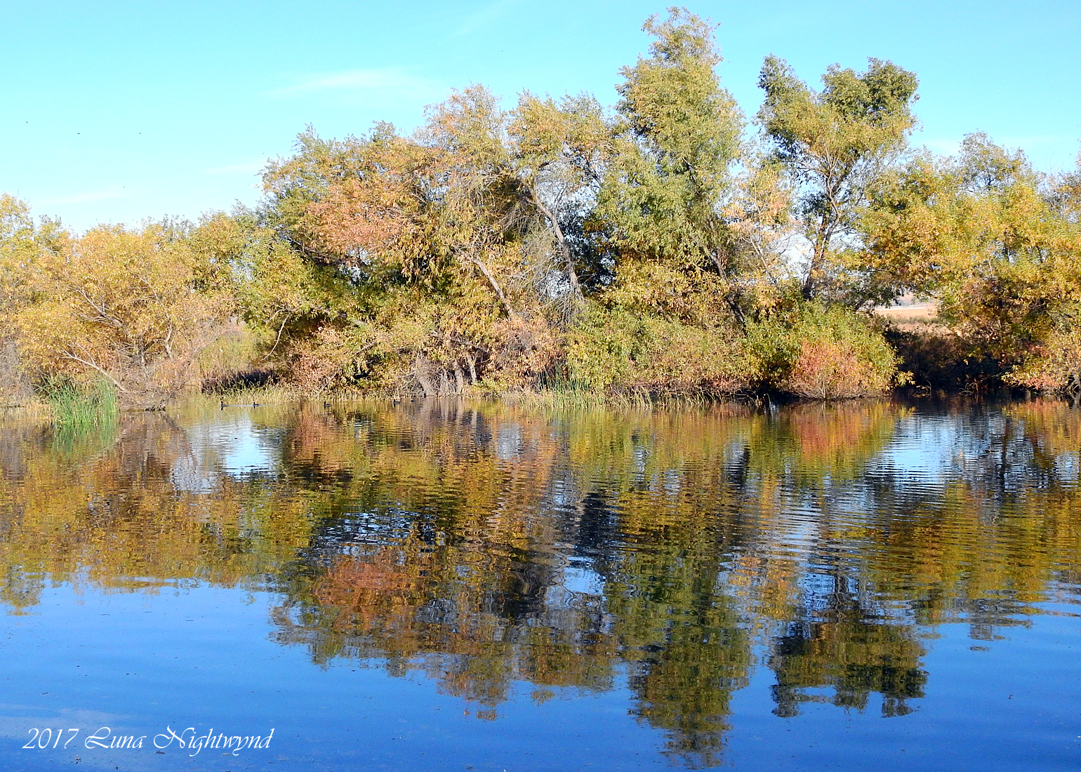
A touch of Autumn - 8-21 am - San Jacinto WR - 11-26-17
Topographic Map of Gold Spur Ct, Calimesa, CA, USA
Find elevation by address:

Places near Gold Spur Ct, Calimesa, CA, USA:
35144 Buena Mesa Dr
412 Ponderosa Trail
325 W Ave L
210 Susan Lee Ct
1155 Calimesa Blvd
181 Fox Ln
35 Country Club Dr
212 Colonial Dr
950 California St
1017 California St
9680 Sharondale Rd
975 California St
W County Line Rd, Calimesa, CA, USA
34184 County Line Rd
182 E Avenue L
Calimesa
212 E Avenue L
34359 Ave H
34359 Ave H
947 Bryant St
Recent Searches:
- Elevation of Corso Fratelli Cairoli, 35, Macerata MC, Italy
- Elevation of Tallevast Rd, Sarasota, FL, USA
- Elevation of 4th St E, Sonoma, CA, USA
- Elevation of Black Hollow Rd, Pennsdale, PA, USA
- Elevation of Oakland Ave, Williamsport, PA, USA
- Elevation of Pedrógão Grande, Portugal
- Elevation of Klee Dr, Martinsburg, WV, USA
- Elevation of Via Roma, Pieranica CR, Italy
- Elevation of Tavkvetili Mountain, Georgia
- Elevation of Hartfords Bluff Cir, Mt Pleasant, SC, USA