Elevation of Sharondale Rd, Calimesa, CA, USA
Location: United States > California > Riverside County > Calimesa >
Longitude: -117.04361
Latitude: 33.979813
Elevation: 715m / 2346feet
Barometric Pressure: 93KPa
Elevation Map:
Satellite Map:
Related Photos:

ATK 714E @ El Casco

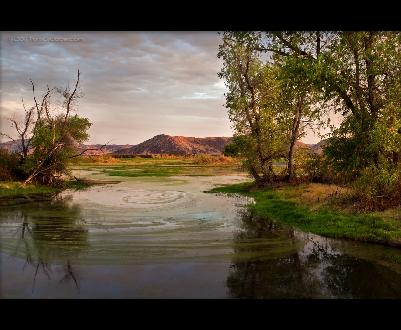
Santa Ana River Valley

Not Too Shabby

Swim Lane
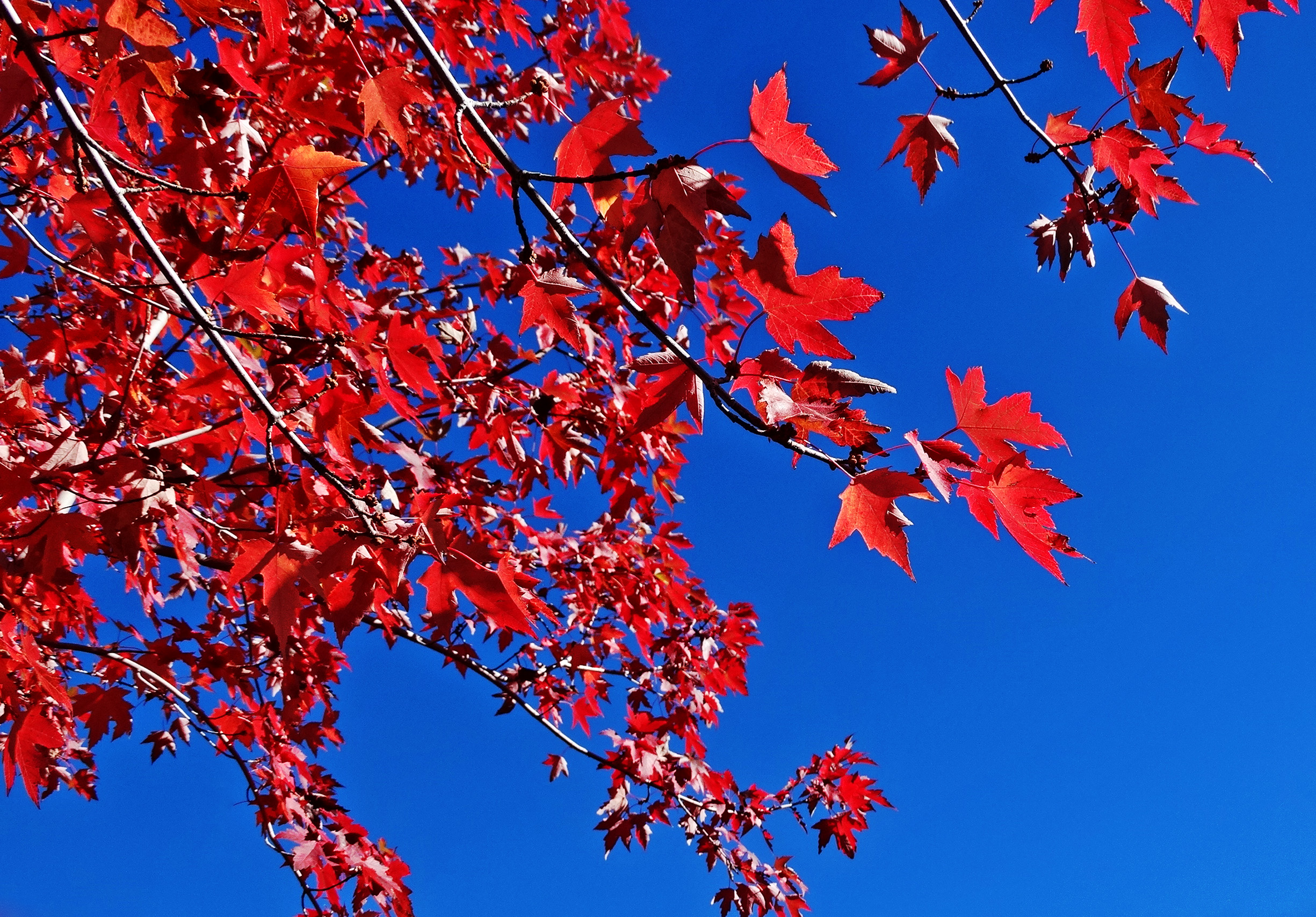
Sun on Oak Leaves, Oak Glen, CA 11-8-14
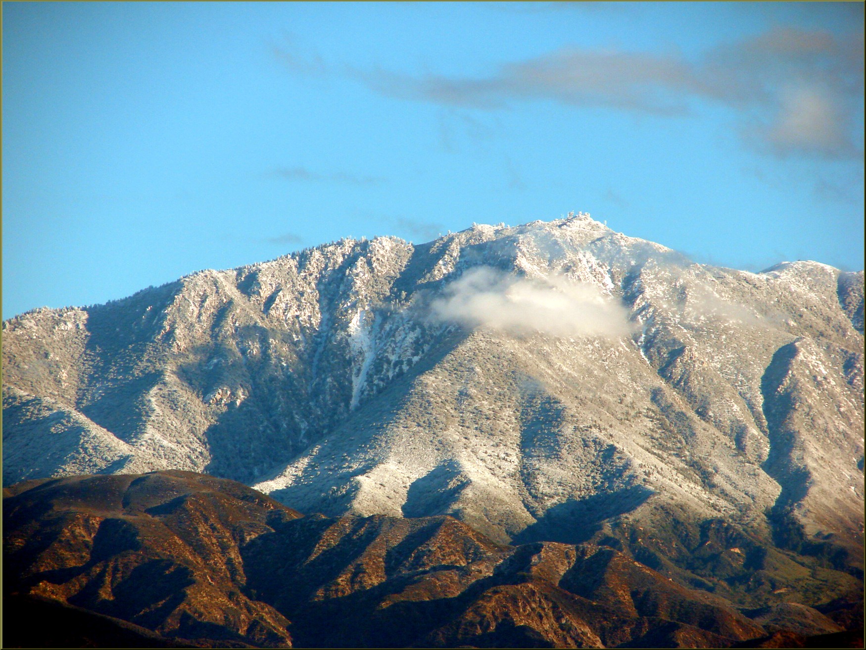
Keller Peak from Caroline Park, Redlands, CA 12-30-12f

Sunset Valley I

View from Buff Rd LE

Bogart Park_0068

Shooting Spot in the Hills
.

the view from here [7:52]

sunny rear view

Back From the Desert

Bogart Park_0059

Bogart Park_0041

Original to these lands.

Live Oak Farms, Wagon 12-9-12

Mountains from Panorama Point 11-18-12

Bogart Park_0039

Bogart Park_0003

San Timoteo Nature Trail
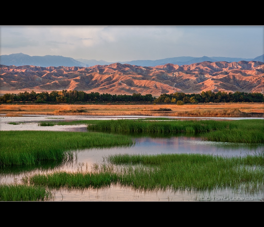
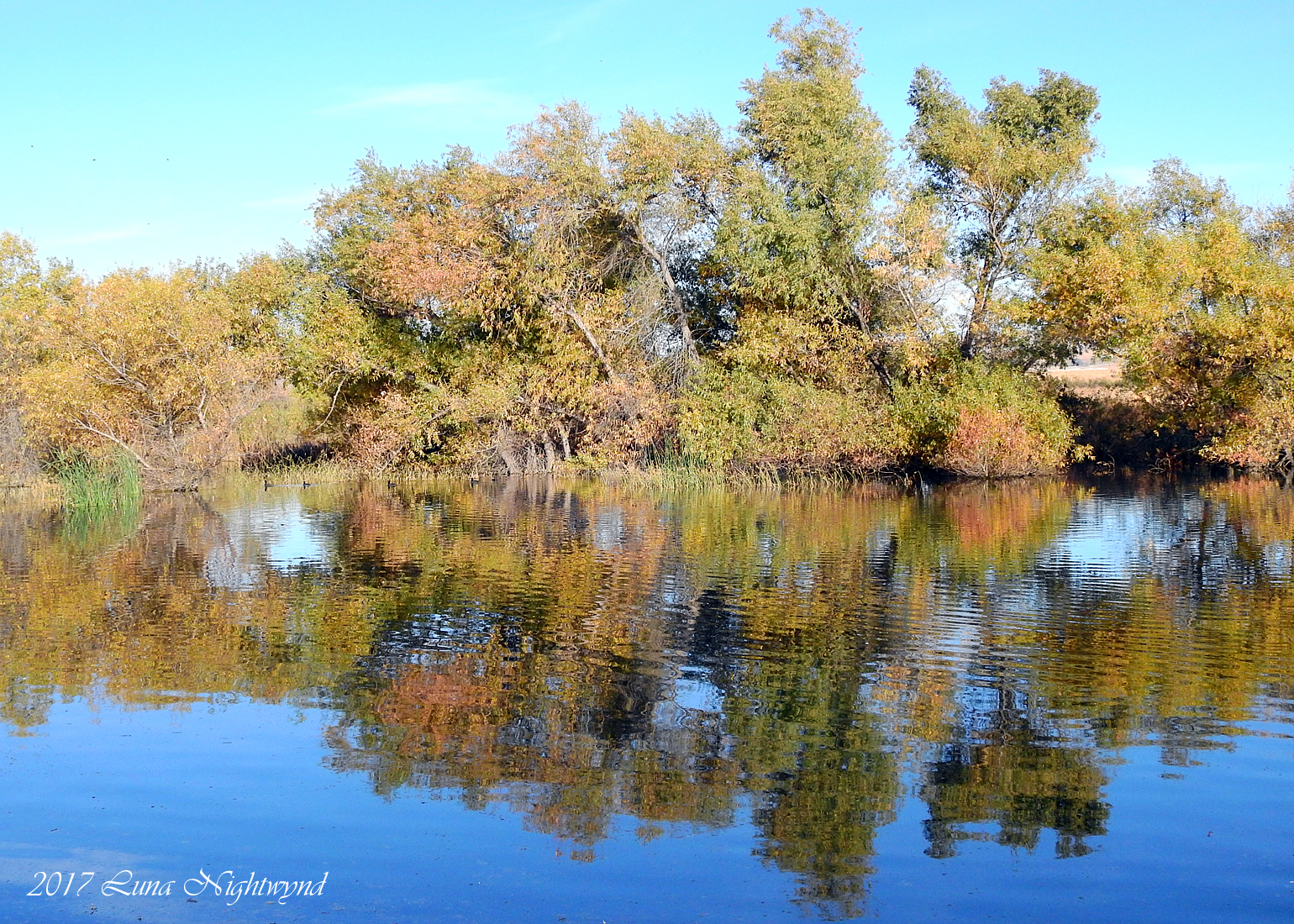
September Pond

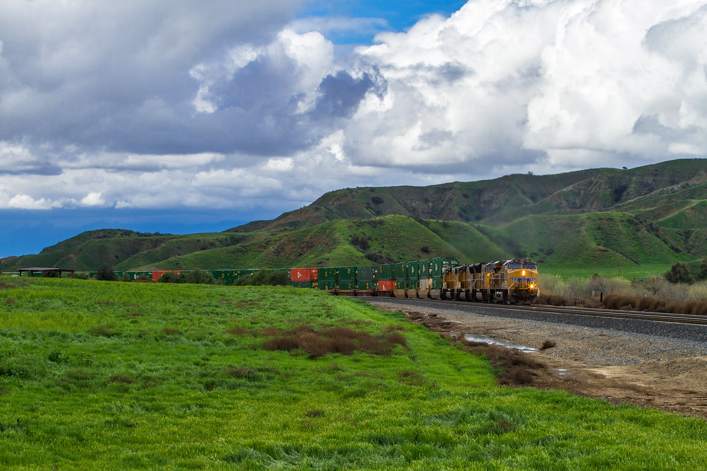
UP 7492

Snaking Up Beaumont

Mill Creek Canyon
Stream Through Time II
Lush Hills

Garnet St. Bridge - Mentone, CA, USA

Summer Splendor

Hills from Jack Rabbit Trail
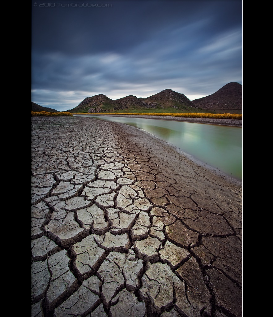
Grass and Badlands
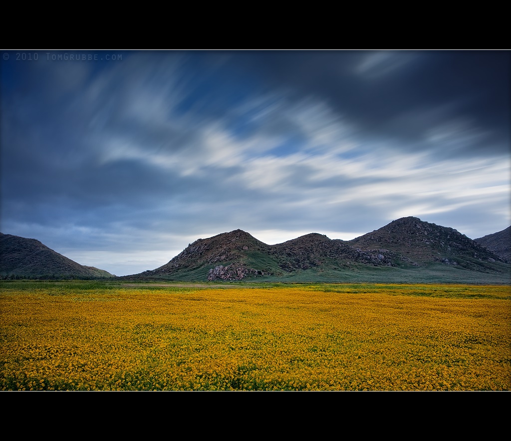
Dream Field

Earth and Renewal
A touch of Autumn - 8-21 am - San Jacinto WR - 11-26-17

Lonely Tree

Spring Valley

Bastille Day, 2014
Topographic Map of Sharondale Rd, Calimesa, CA, USA
Find elevation by address:

Places near Sharondale Rd, Calimesa, CA, USA:
181 Fox Ln
Calimesa Blvd, Calimesa, CA, USA
35144 Buena Mesa Dr
35 Country Club Dr
1280 Gold Spur Ct
210 Susan Lee Ct
212 Colonial Dr
412 Ponderosa Trail
325 W Ave L
1155 Calimesa Blvd
1017 California St
182 E Avenue L
212 E Avenue L
950 California St
975 California St
East Avenue L
341 E Avenue L
947 Bryant St
35261 San Pablo Dr
13568 San Lucas Dr
Recent Searches:
- Elevation of Corso Fratelli Cairoli, 35, Macerata MC, Italy
- Elevation of Tallevast Rd, Sarasota, FL, USA
- Elevation of 4th St E, Sonoma, CA, USA
- Elevation of Black Hollow Rd, Pennsdale, PA, USA
- Elevation of Oakland Ave, Williamsport, PA, USA
- Elevation of Pedrógão Grande, Portugal
- Elevation of Klee Dr, Martinsburg, WV, USA
- Elevation of Via Roma, Pieranica CR, Italy
- Elevation of Tavkvetili Mountain, Georgia
- Elevation of Hartfords Bluff Cir, Mt Pleasant, SC, USA