Elevation of Calimesa Blvd, Calimesa, CA, USA
Location: United States > California > Riverside County > Calimesa >
Longitude: -117.05676
Latitude: 33.9959056
Elevation: 738m / 2421feet
Barometric Pressure: 93KPa
Elevation Map:
Satellite Map:
Related Photos:

Raven with Breakfast 2790

Sunset Valley I

Only the Best

Spring Valley

Day 347/365: I know I'm going where the sun always shines (explored #328 on June 8, 2009)

San Bernardino Valley

7 Oaks Dam

Santa Ana River Valley
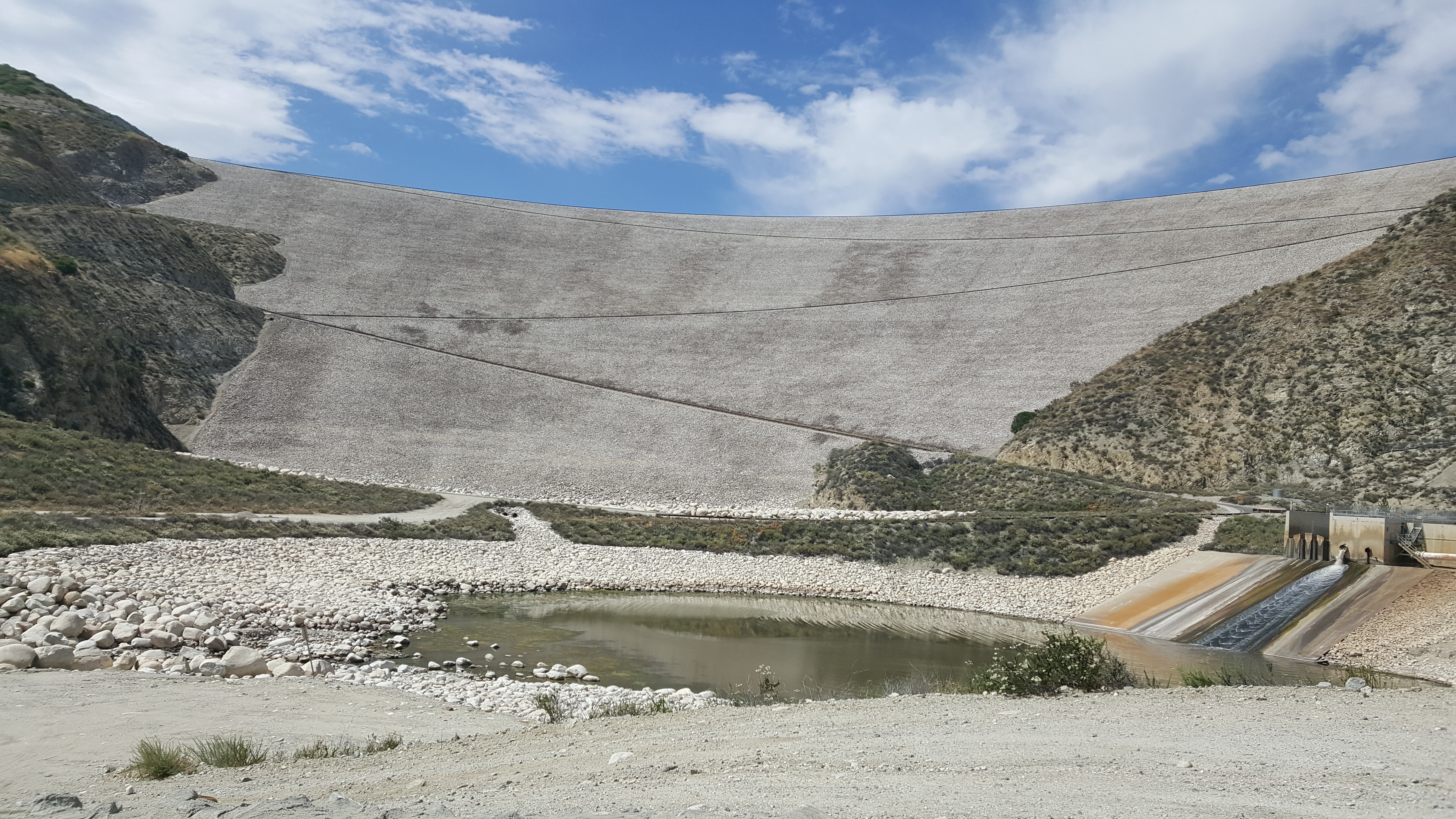
Seven Oaks Dam

ATK 714E @ El Casco

Not Too Shabby

Valley View II

Lake Perris, Surrounded by Hills and Mountains

Early Morning View

1 of (7) LOWER Falls- Valley of Falls, Mill Creek Canyon, San Bernadino Mountains

Valley View

The Storms of Late Summer

Arched Doorway, Redlands Alleys 10-27-13s

Back From the Desert

Moreno Valley, San Bernardino County, California

Shooting Spot in the Hills
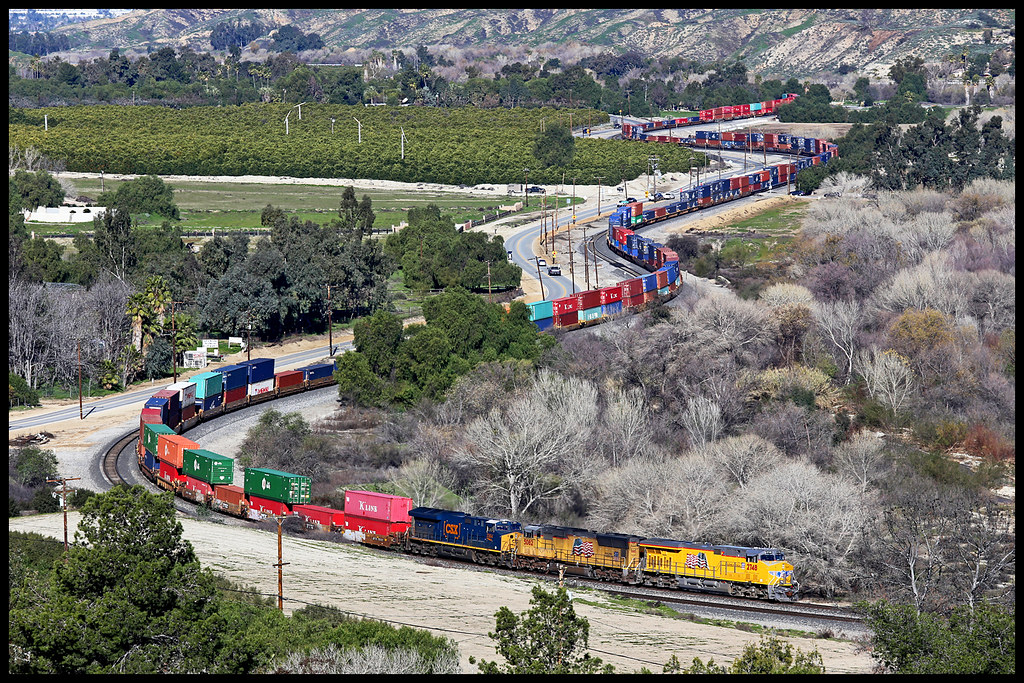
UP 2748

Mill Creek Canyon

Snaking Up Beaumont

Lush Hills

Mill Creek Canyon

Beaumont, California

San Gabriel Mountains over Inland Empire, CA 2016 (In EXPLORE)

View from Buff Rd LE

Fire under a Full Moon

Storm Tree

Summer Splendor

Jack Rabbit Trail Road

Easter 2016
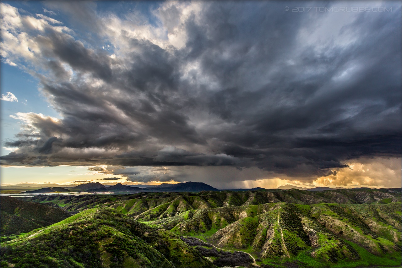
Jack Rabbit Storm

Lumonitious Landscape

Spring Trail II

UP 7492

Twilight Pond

Apple Orchard Autumn, Oak Glen, CA 2019

Spring Valley Gorge
Topographic Map of Calimesa Blvd, Calimesa, CA, USA
Find elevation by address:

Places near Calimesa Blvd, Calimesa, CA, USA:
412 Ponderosa Trail
1280 Gold Spur Ct
325 W Ave L
W County Line Rd, Calimesa, CA, USA
35144 Buena Mesa Dr
Calimesa
34184 County Line Rd
210 Susan Lee Ct
34359 Ave H
34359 Ave H
34420 La Raye Dr
950 California St
181 Fox Ln
1017 California St
212 Colonial Dr
975 California St
35 Country Club Dr
9680 Sharondale Rd
35055 Vickey Way
182 E Avenue L
Recent Searches:
- Elevation of Corso Fratelli Cairoli, 35, Macerata MC, Italy
- Elevation of Tallevast Rd, Sarasota, FL, USA
- Elevation of 4th St E, Sonoma, CA, USA
- Elevation of Black Hollow Rd, Pennsdale, PA, USA
- Elevation of Oakland Ave, Williamsport, PA, USA
- Elevation of Pedrógão Grande, Portugal
- Elevation of Klee Dr, Martinsburg, WV, USA
- Elevation of Via Roma, Pieranica CR, Italy
- Elevation of Tavkvetili Mountain, Georgia
- Elevation of Hartfords Bluff Cir, Mt Pleasant, SC, USA