Elevation map of Kolhapur, Maharashtra, India
Location: India > Maharashtra >
Longitude: 74.123996
Latitude: 16.5764489
Elevation: 550m / 1804feet
Barometric Pressure: 95KPa
Elevation Map:
Satellite Map:
Related Photos:
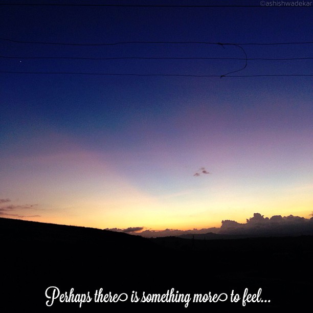
Perhaps...
“Problems that remain persistently insoluble should always be suspected as questions asked in the wrong way.” ― Alan Watts
It has sunk

Wheel Eye O_o

India Temple Stall
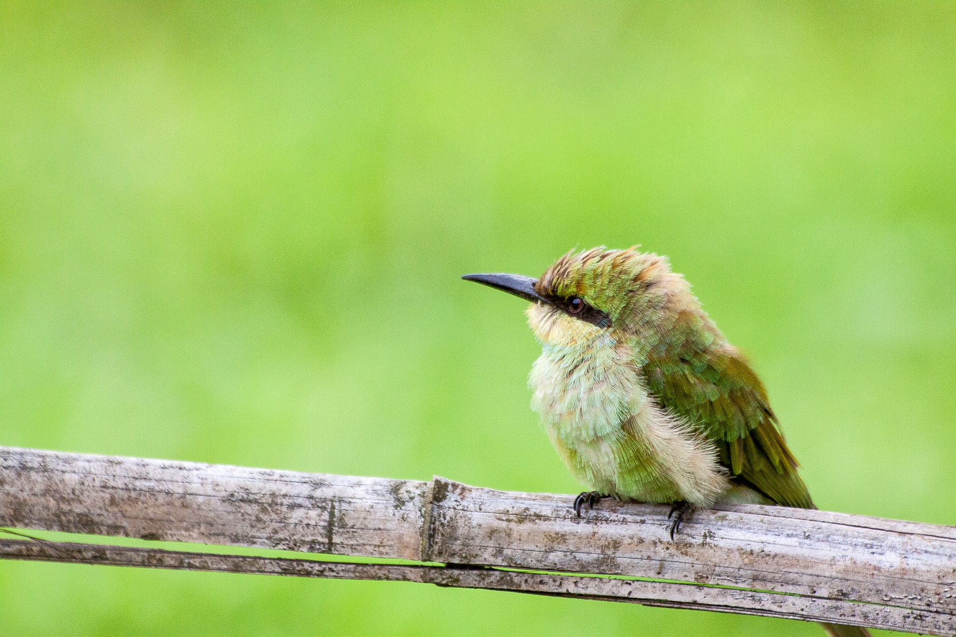
Little Bee Eater/ येडा राघू
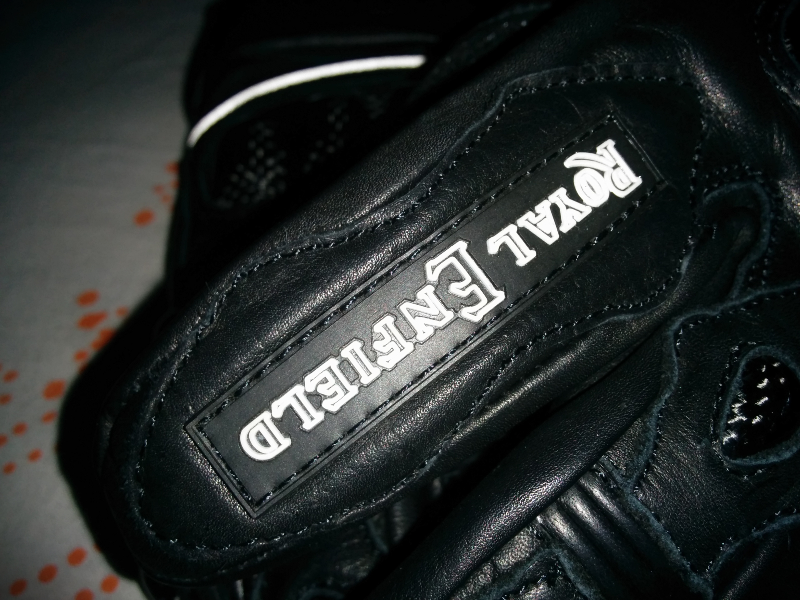
Short gloves with "Royal" look

What they called it as "EXPLORER"
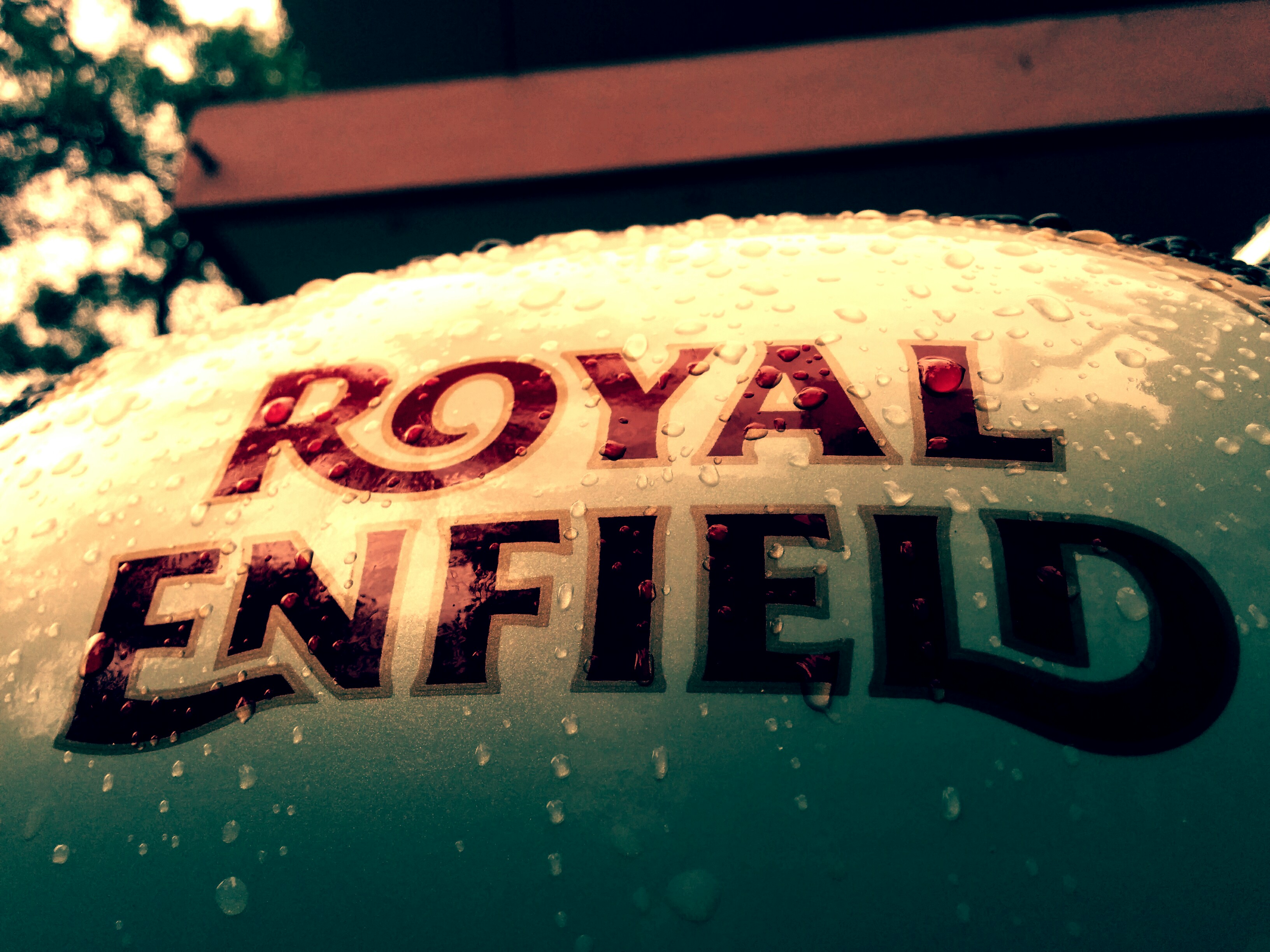
Rain drops + Royal Enfield - Best combination
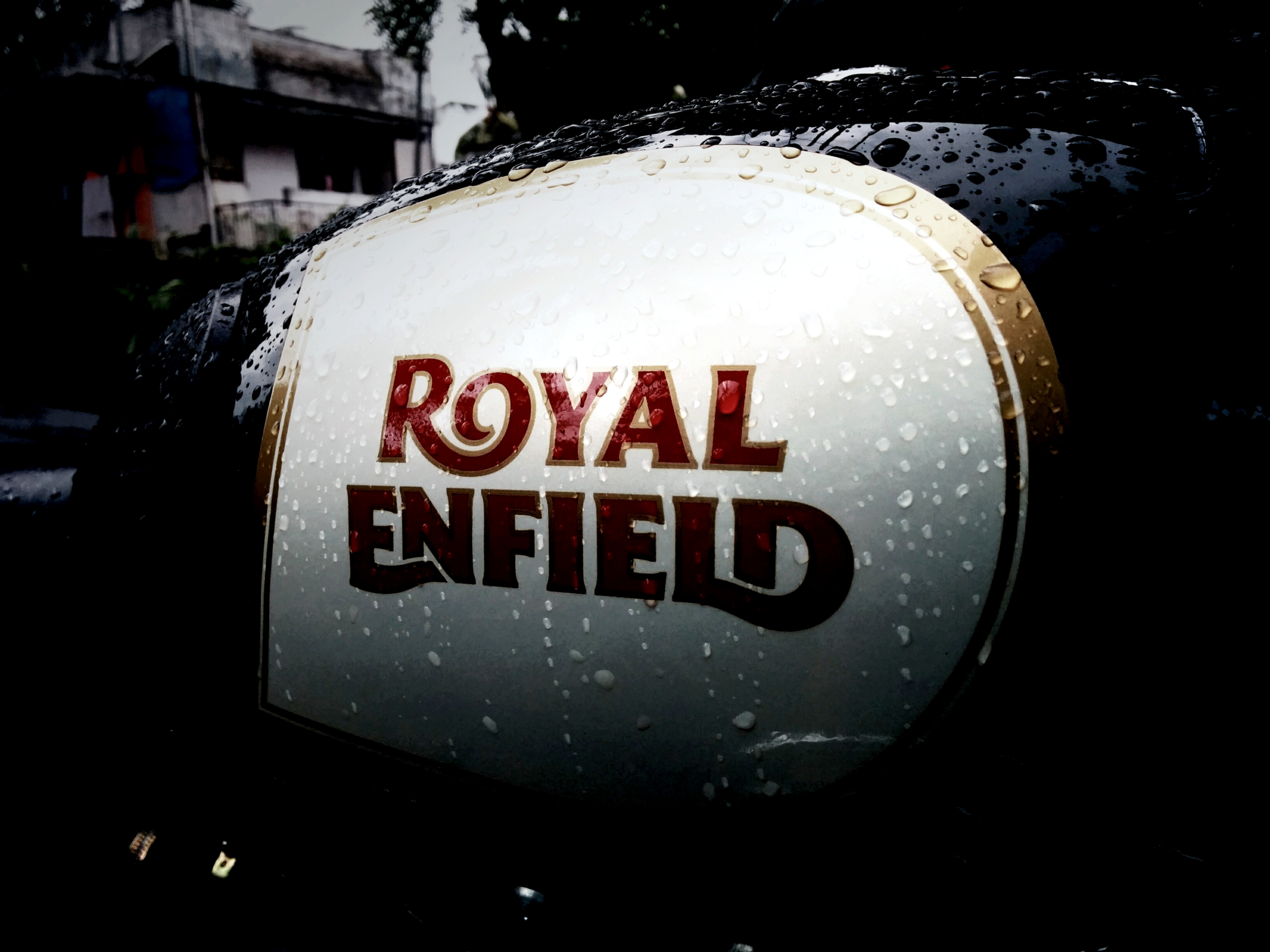
And the Royal one
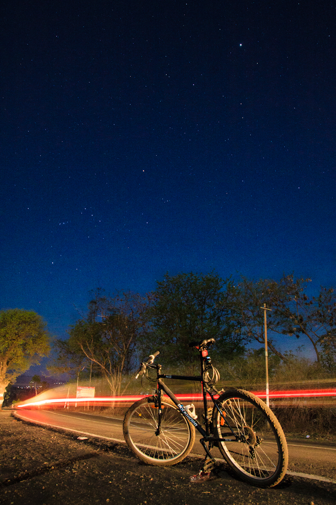
Btwin Rockrider 5.0

I am a girl , you dumb dslr owner

“Flow with whatever may happen, and let your mind be free: Stay centered by accepting whatever you are doing. This is the ultimate.” ― Zhuangzi
Poop Shoot!

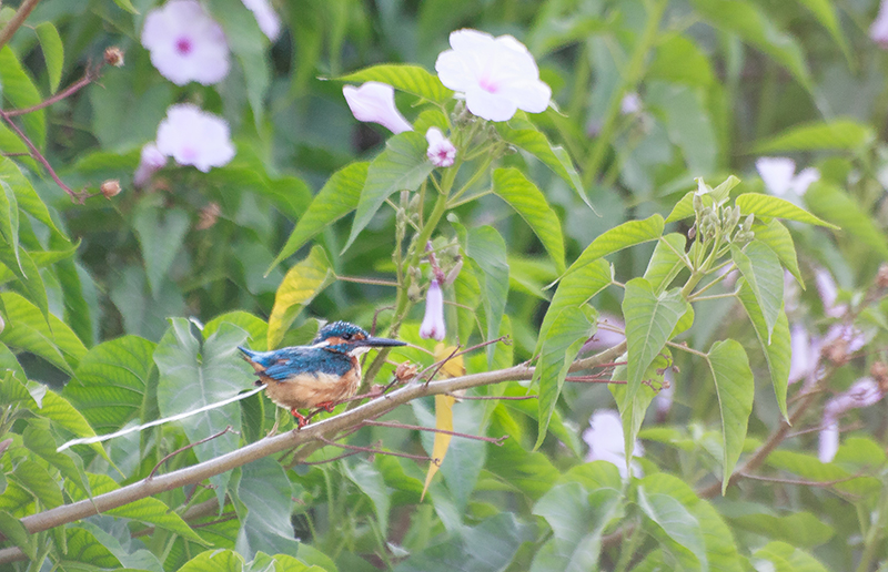
Hovering Pied Kingfisher

Cute <3
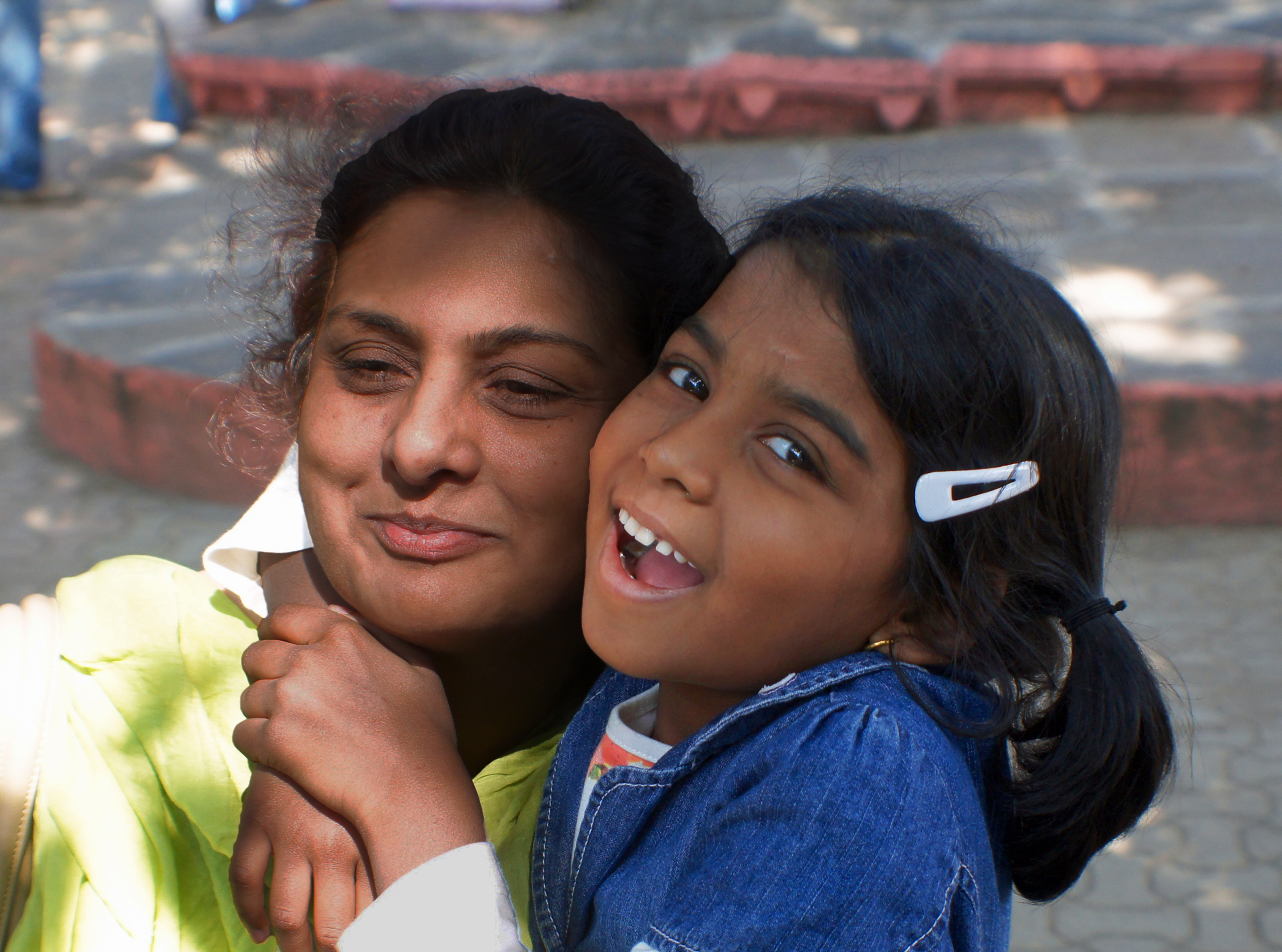
India: Neha and Her Mom

India Temple Stall

Digging in

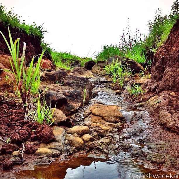
the village river
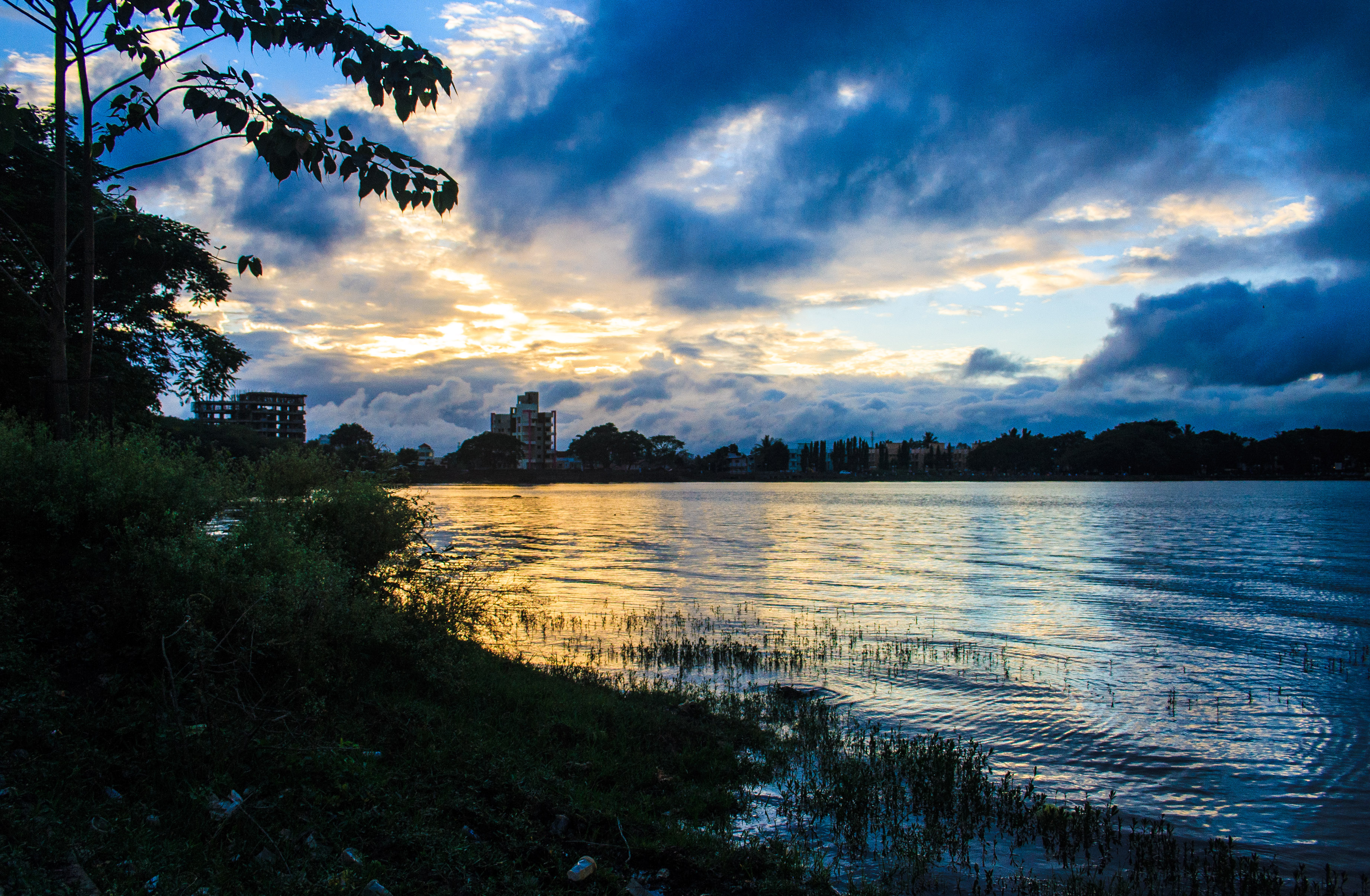
Colour blast @Rankala Lake
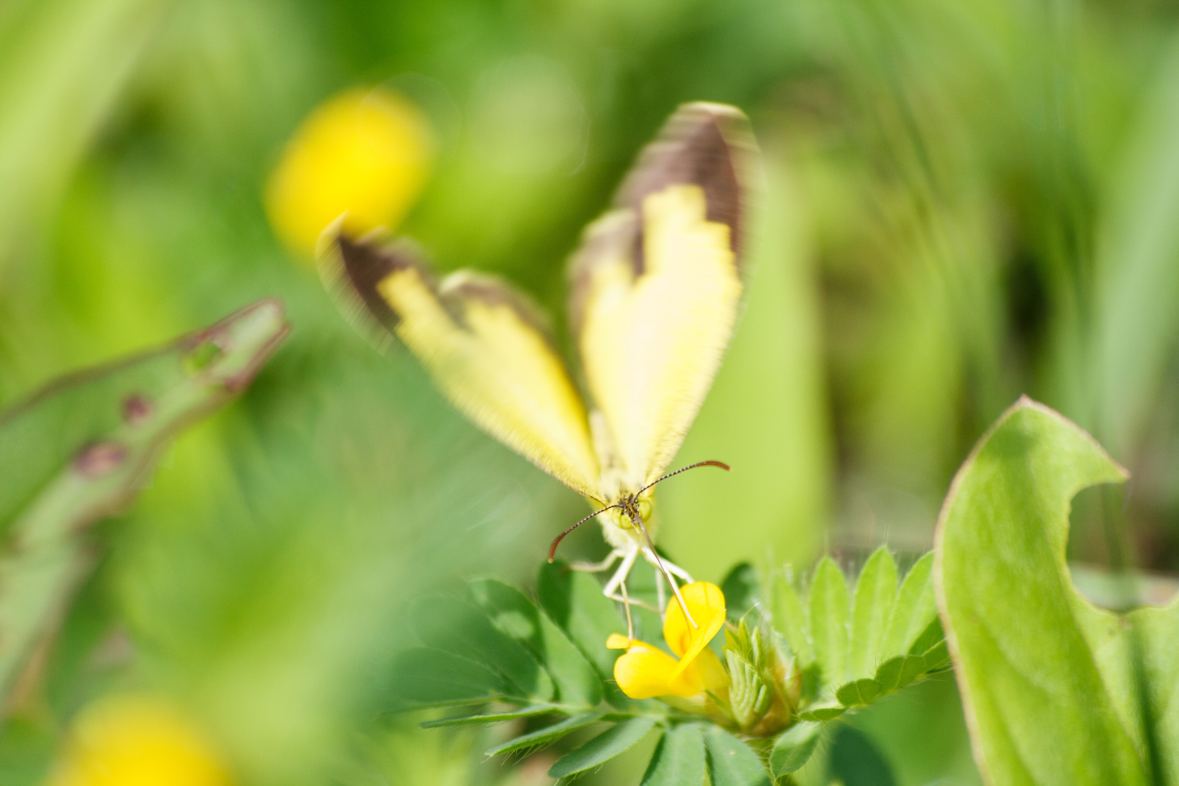
Butterfly effect

Suruwant :P
Topographic Map of Kolhapur, Maharashtra, India
Find elevation by address:

Places in Kolhapur, Maharashtra, India:
Panhala
Injole
Adoli
Kolhapur
Amba
Gaganbawda
Radhanagari
Dattawad
Shahuwadi
Chandgad
Kurundwad
Lingnoor Kapshi
Hatkanangale
Haldi
Ardal
Bahirewadi
Bhadvanwadi Road
Burude
Chafawade
Chandewadi
Chavan Wadi
Chimane
Dabhil
Deulwadi
Devarde
Dhamane
Erandol
Gajargaon
Gavase
Hajagoli
Halewadi
Haloli
Harapwade
Hatiwade
Honewadi
Honyali
Ite
Jadhewadi
Jeur
Kanoli
Karpewadi Khalsa
Kasar Kandgaon
Khanapur
Khoratwadi
Kine
Kolindre
Kowade
Lakudwadi
Madilage
Mahagond
Maligre
Masoli
Mendholi
Mumewadi
Murude
Ningudage
Masewadi
Pedrewadi
Pendharwadi
Pernoli
Polgaon
Salgaon
Sarambalwadi
Saroli
Yamekond
Shringarwadi
Sohale
Sule
Suleran
Sulgaon
Uttur
Vadakshivale
Vazare
Zulpewadi
Bachi
Bhavewadi
Chalobawadi Road
Chitale
Ambewadi
Dardewadi
Gandhinagar
Ganeshwadi
Ghatkarwadi
Handewadi
Harur
Kaginwadi
Karpewadi Dhumala
Khedge
Dhangarwadi
Madhyal
Mahagondwadi
Medhe Wadi
Morewadi
Munguswadi
Parewadi
Pethewadi
Satewadi
Sawarwadi
Shirsangi
Vinayakwadi
Places near Kolhapur, Maharashtra, India:
Kothali
Kurukali
Hirawade Khalasa
Bele
Hirawade Dumala
Sadoli Dumala
Sadoli Khalsa
Bachani
Rashiwade Bk.
Parite
Haldi
Mhalunge
Shiroli
Shiroli Dumala
Vidya Mandir Mhalasawade
Yevati
Dhangarwadi
Karbharwadi
Savarde Dumala
Kanchanwadi
Recent Searches:
- Elevation of Corso Fratelli Cairoli, 35, Macerata MC, Italy
- Elevation of Tallevast Rd, Sarasota, FL, USA
- Elevation of 4th St E, Sonoma, CA, USA
- Elevation of Black Hollow Rd, Pennsdale, PA, USA
- Elevation of Oakland Ave, Williamsport, PA, USA
- Elevation of Pedrógão Grande, Portugal
- Elevation of Klee Dr, Martinsburg, WV, USA
- Elevation of Via Roma, Pieranica CR, Italy
- Elevation of Tavkvetili Mountain, Georgia
- Elevation of Hartfords Bluff Cir, Mt Pleasant, SC, USA