Elevation of Panhala, Maharashtra, India
Location: India > Maharashtra > Kolhapur >
Longitude: 74.1181234
Latitude: 16.8106871
Elevation: 784m / 2572feet
Barometric Pressure: 92KPa
Elevation Map:
Satellite Map:
Related Photos:
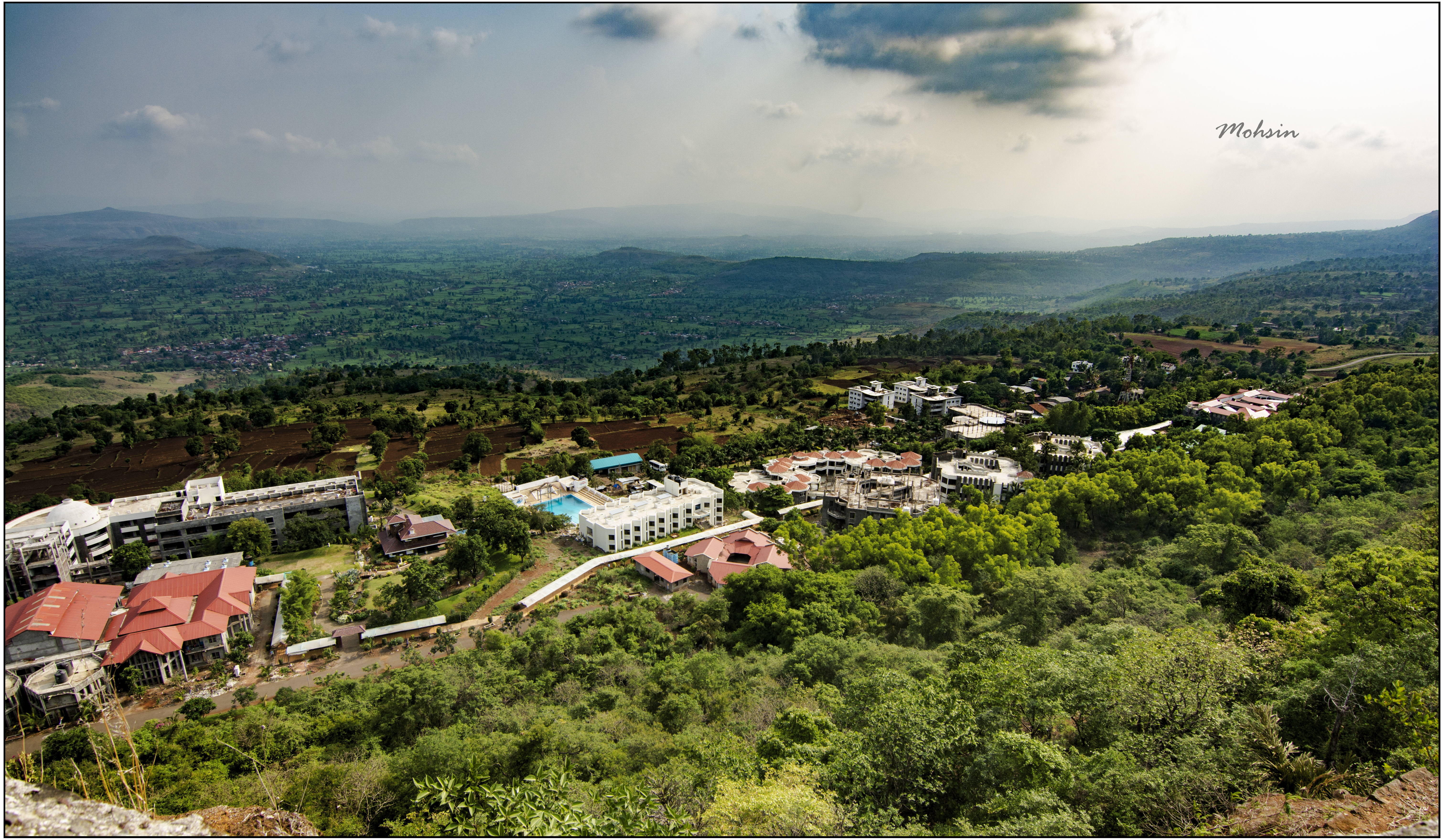
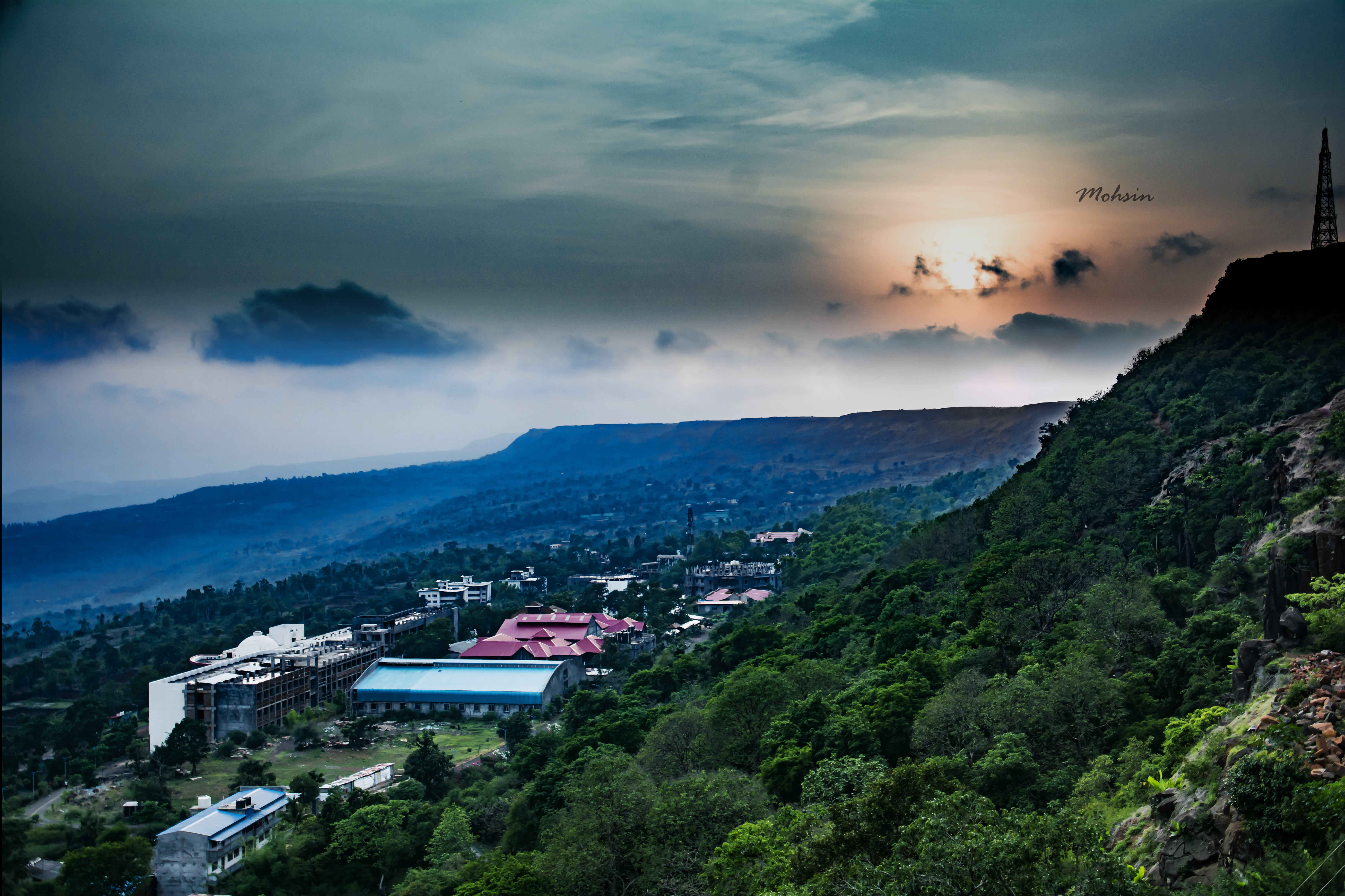
Lush and Green

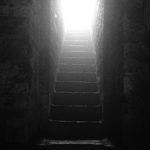
Flocked...
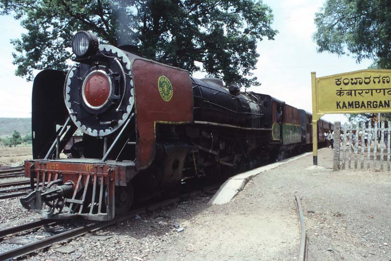
Kambarganvi Railway Station - India - 1983

Jai Shivaji Jai Bhavani #chhatrapati #Shivaji #kolhapur #kolhapurdiaries #travel
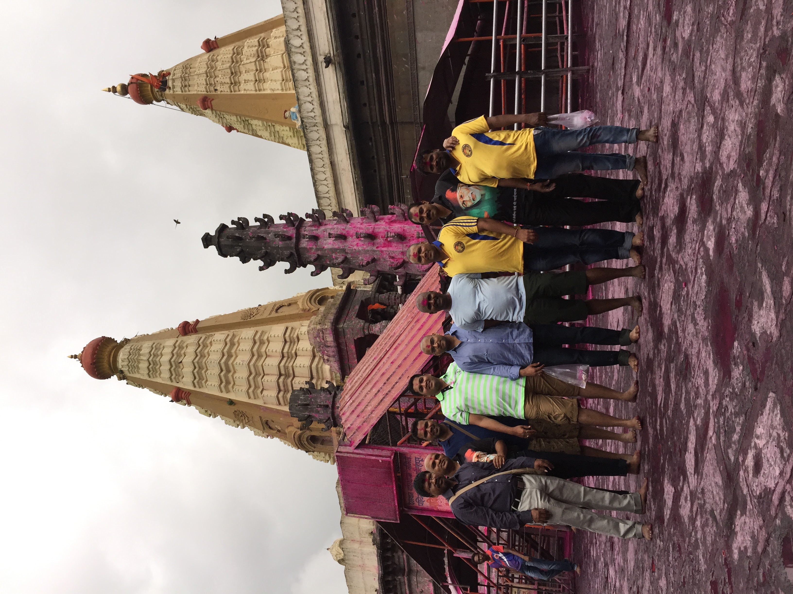
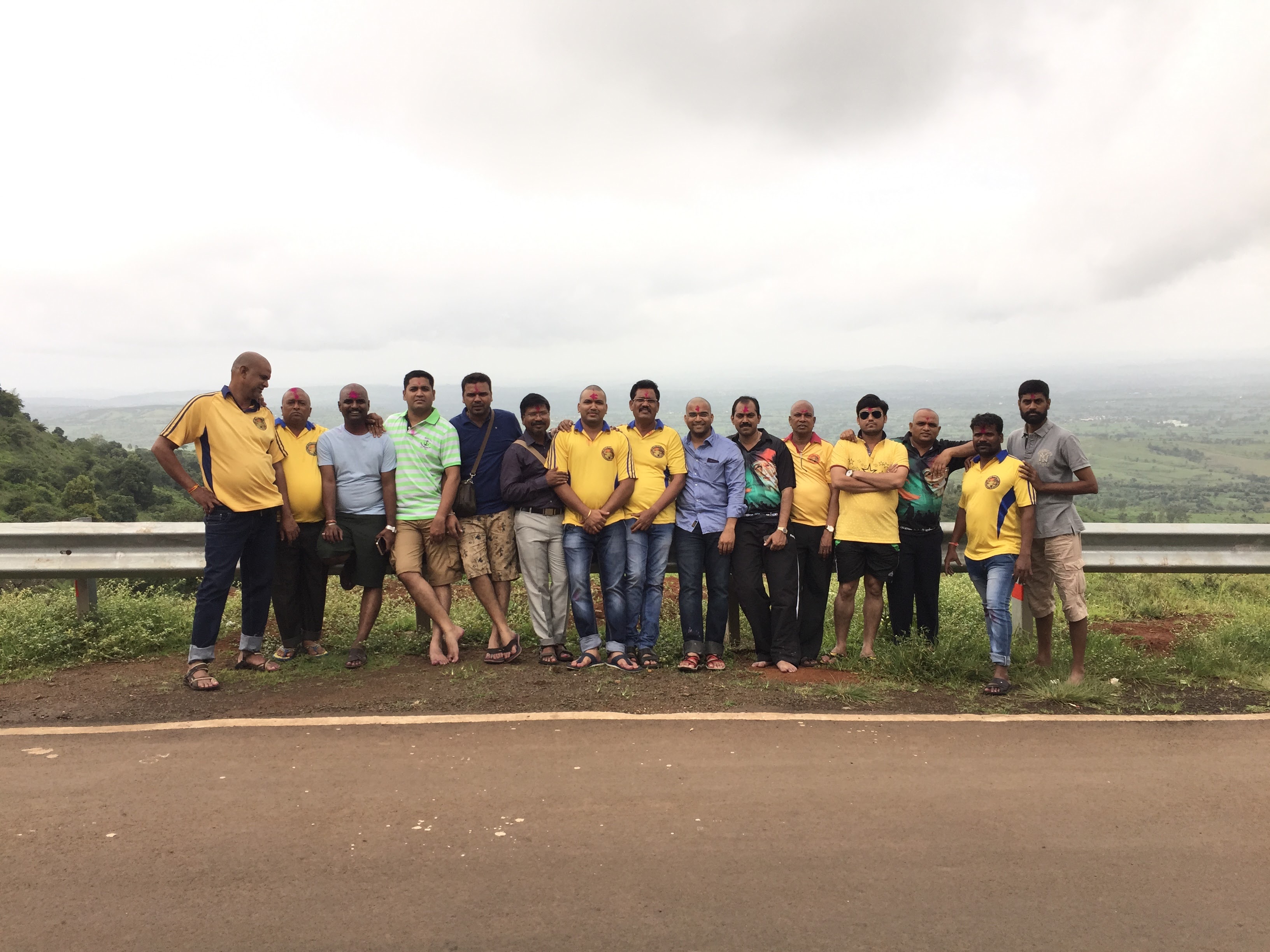
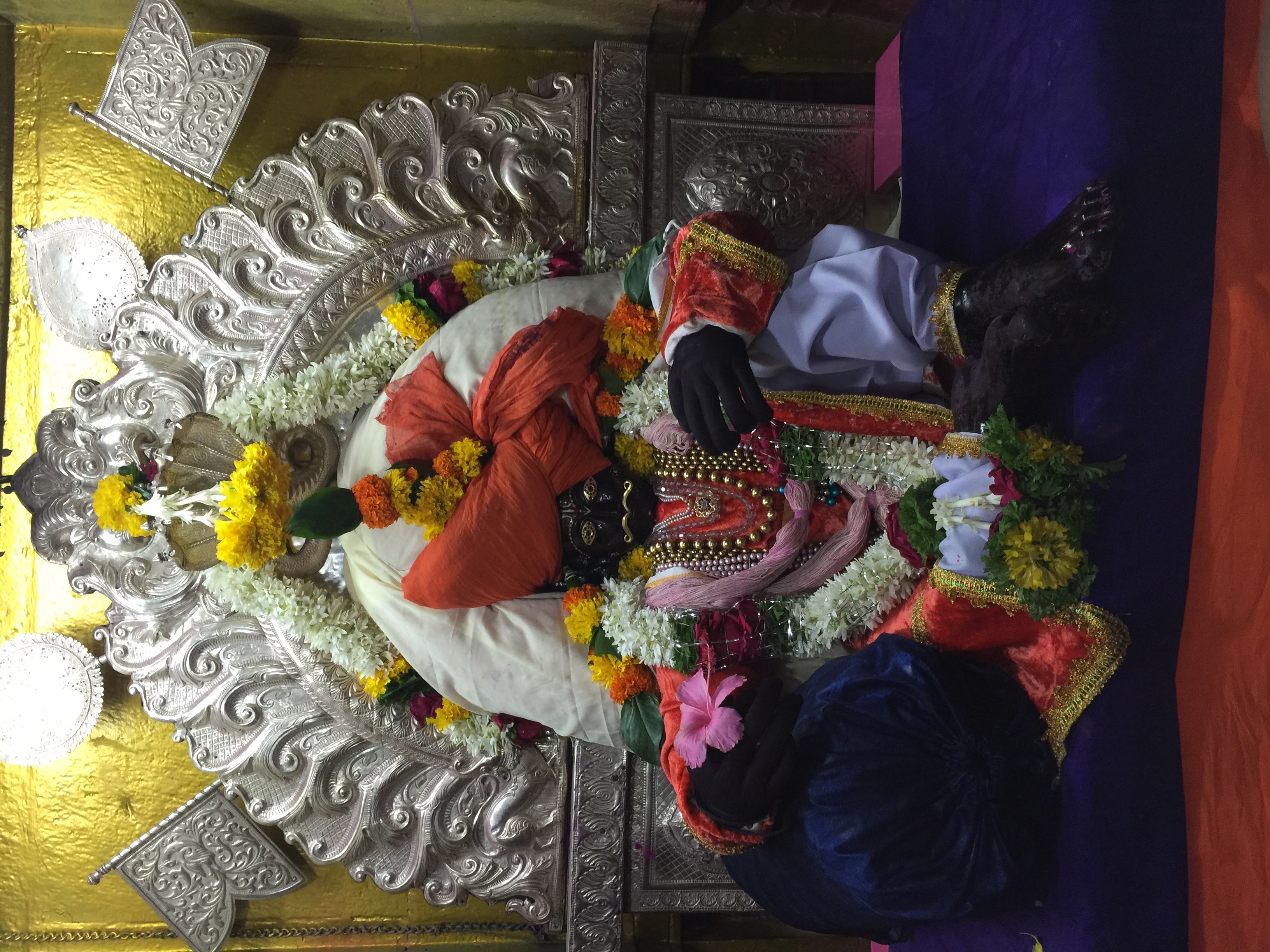
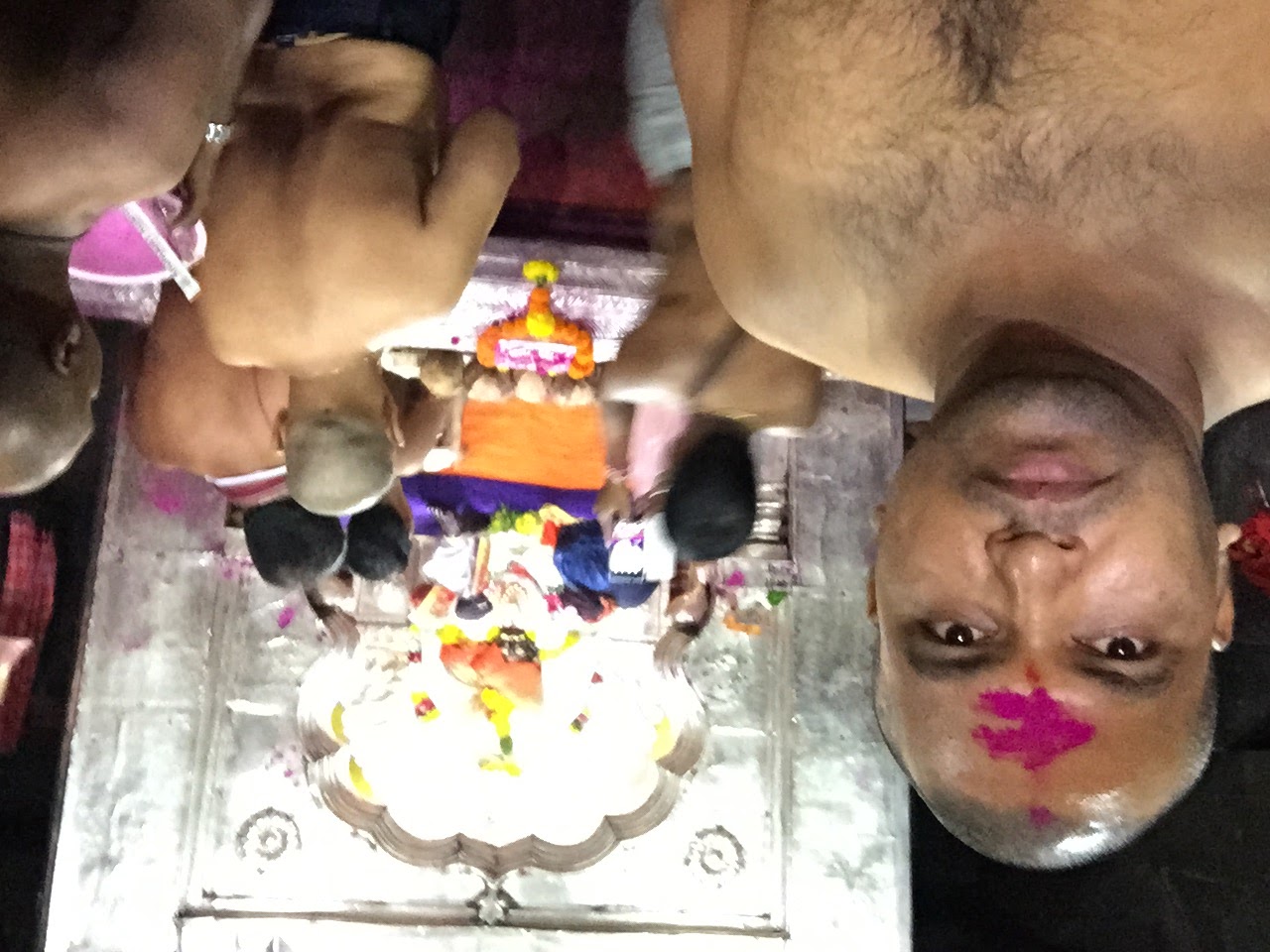
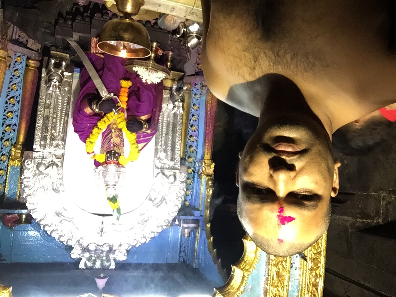
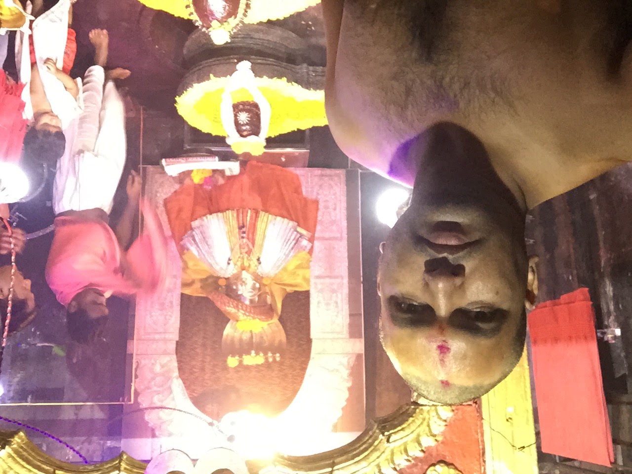
कणेरी मठ, पेठचा गणपती, जोतिबा, नरसोबाची वाडी, महालक्ष्मी कोल्हापूर.
कणेरी मठ, पेठचा गणपती, जोतिबा, नरसोबाची वाडी, महालक्ष्मी कोल्हापूर.
कणेरी मठ, पेठचा गणपती, जोतिबा, नरसोबाची वाडी, महालक्ष्मी कोल्हापूर.
कणेरी मठ, पेठचा गणपती, जोतिबा, नरसोबाची वाडी, महालक्ष्मी कोल्हापूर.

कणेरी मठ, पेठचा गणपती, जोतिबा, नरसोबाची वाडी, महालक्ष्मी कोल्हापूर.
कणेरी मठ, पेठचा गणपती, जोतिबा, नरसोबाची वाडी, महालक्ष्मी कोल्हापूर.
कणेरी मठ, पेठचा गणपती, जोतिबा, नरसोबाची वाडी, महालक्ष्मी कोल्हापूर.
Sunset Point

Vinod Naik

WP_20140506_10_23_50_Pro-001
Who knows the real #history?
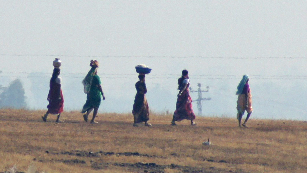
On the Way to Work

Oxcart Driver India
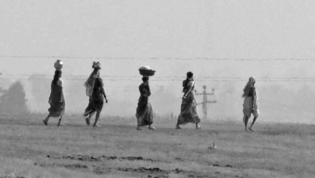
Women on Their Way to Work
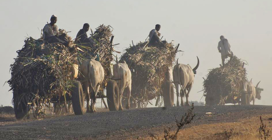
Bullock Carts Hauling Sugar Cane Near Kolhapur, Maharashtra, India

Extra Sharp
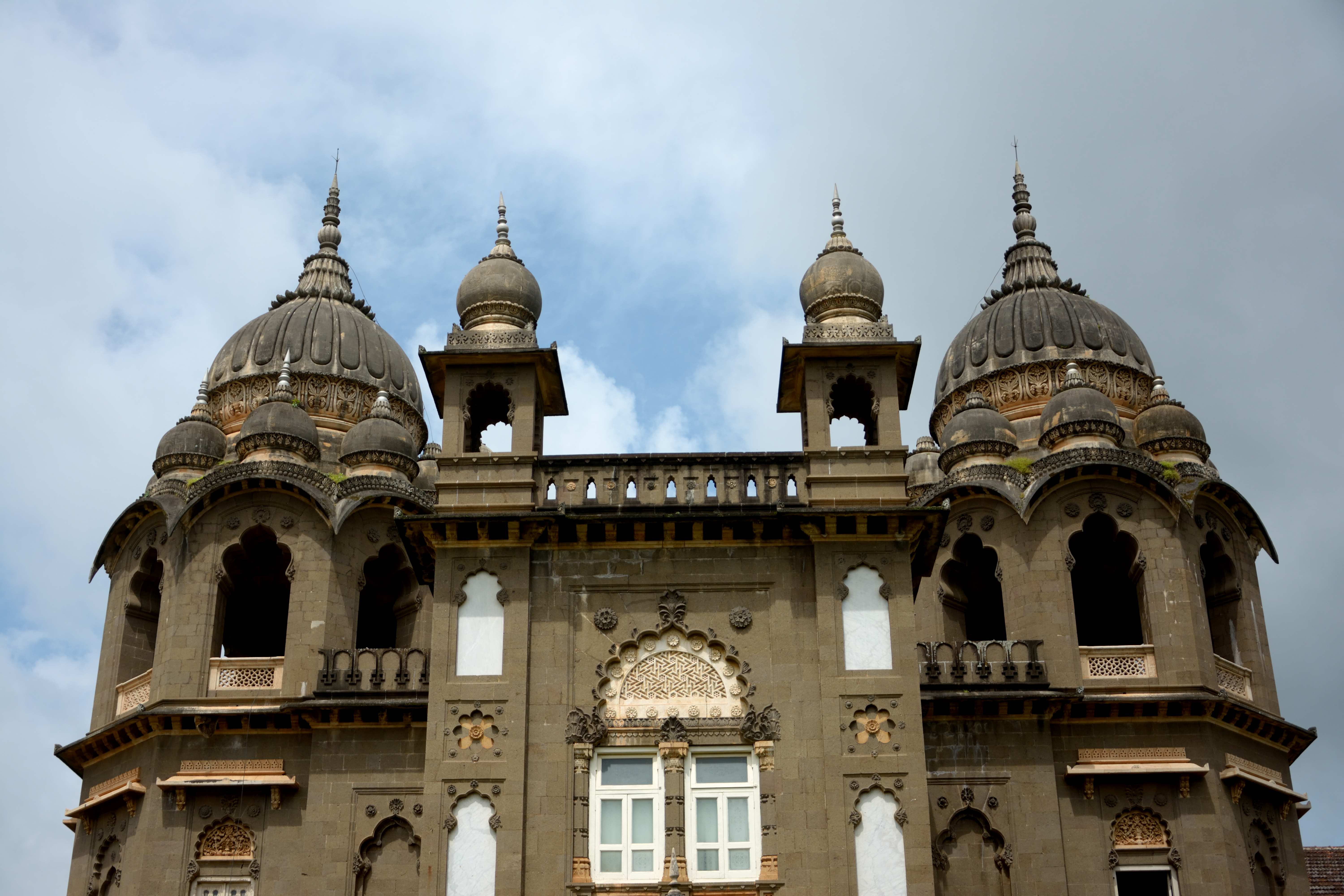
New Palace Kolhapur (2)
Topographic Map of Panhala, Maharashtra, India
Find elevation by address:

Places in Panhala, Maharashtra, India:
Places near Panhala, Maharashtra, India:
Gude
Panhala Fort
Nikamwadi
Rakshi
Navali
Mitharwadi
Utre
Mhalunge Tarf Thane
Borpadle
Khotwadi
Devale
Masai Plateau
Vekhandwadi
Nebapur
Paijarwadi
Danewadi
Devthane
Goliwade
Padvalawadi
Japhale
Recent Searches:
- Elevation of Corso Fratelli Cairoli, 35, Macerata MC, Italy
- Elevation of Tallevast Rd, Sarasota, FL, USA
- Elevation of 4th St E, Sonoma, CA, USA
- Elevation of Black Hollow Rd, Pennsdale, PA, USA
- Elevation of Oakland Ave, Williamsport, PA, USA
- Elevation of Pedrógão Grande, Portugal
- Elevation of Klee Dr, Martinsburg, WV, USA
- Elevation of Via Roma, Pieranica CR, Italy
- Elevation of Tavkvetili Mountain, Georgia
- Elevation of Hartfords Bluff Cir, Mt Pleasant, SC, USA