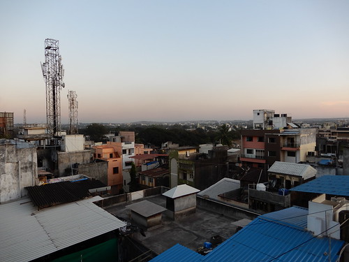
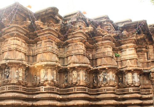
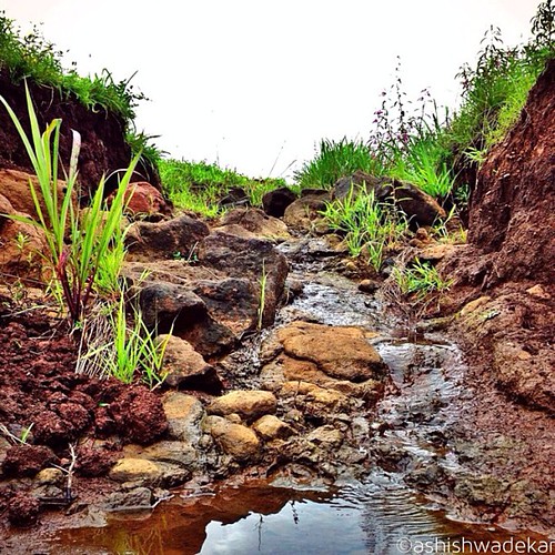
Elevation of Shiroli Dumala, Maharashtra, India
Location: India > Maharashtra > Kolhapur >
Longitude: 74.1093141
Latitude: 16.618217
Elevation: 563m / 1847feet
Barometric Pressure: 95KPa
Related Photos:
Topographic Map of Shiroli Dumala, Maharashtra, India
Find elevation by address:

Places near Shiroli Dumala, Maharashtra, India:
Shiroli
Savarwadi
Kekatwadi
Bachani
Hirawade Dumala
Sadoli Dumala
Savarde Dumala
Dhondewadi
Dhangarwadi
Mandare
Karbharwadi
Hirawade Khalasa
Gadegondwadi
Bahireshwar
Shipekarwadi
Sadoli Khalsa
Amashi
Kolhapur
Kothali
Chafodi
Recent Searches:
- Elevation of Corso Fratelli Cairoli, 35, Macerata MC, Italy
- Elevation of Tallevast Rd, Sarasota, FL, USA
- Elevation of 4th St E, Sonoma, CA, USA
- Elevation of Black Hollow Rd, Pennsdale, PA, USA
- Elevation of Oakland Ave, Williamsport, PA, USA
- Elevation of Pedrógão Grande, Portugal
- Elevation of Klee Dr, Martinsburg, WV, USA
- Elevation of Via Roma, Pieranica CR, Italy
- Elevation of Tavkvetili Mountain, Georgia
- Elevation of Hartfords Bluff Cir, Mt Pleasant, SC, USA


