Elevation of Uttur, Maharashtra, India
Location: India > Maharashtra > Kolhapur >
Longitude: 74.2604818
Latitude: 16.2395701
Elevation: 693m / 2274feet
Barometric Pressure: 93KPa
Elevation Map:
Satellite Map:
Related Photos:
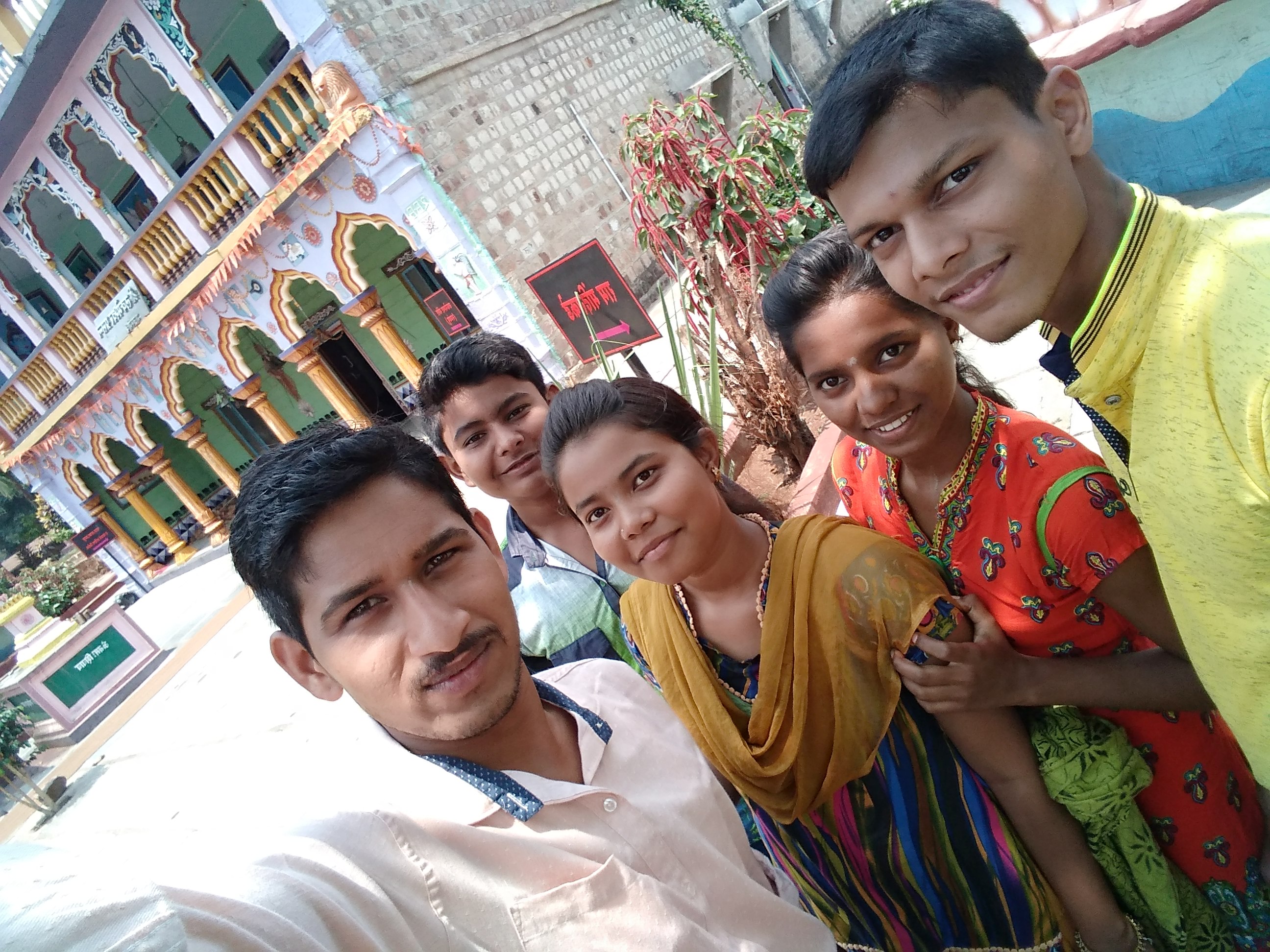
My fnds

My fnds

Lecture on National Science Day as Chief Guest for prize distribution at Gadhinglaj Nagarparishad. All Lectures since 26-02-2016 are organised by Marathi Vidnyan Parishad, Gadhinglaj

Lecture on National Science Day as Chief Guest for prize distribution at Gadhinglaj Nagarparishad. All Lectures since 26-02-2016 are organised by Marathi Vidnyan Parishad, Gadhinglaj
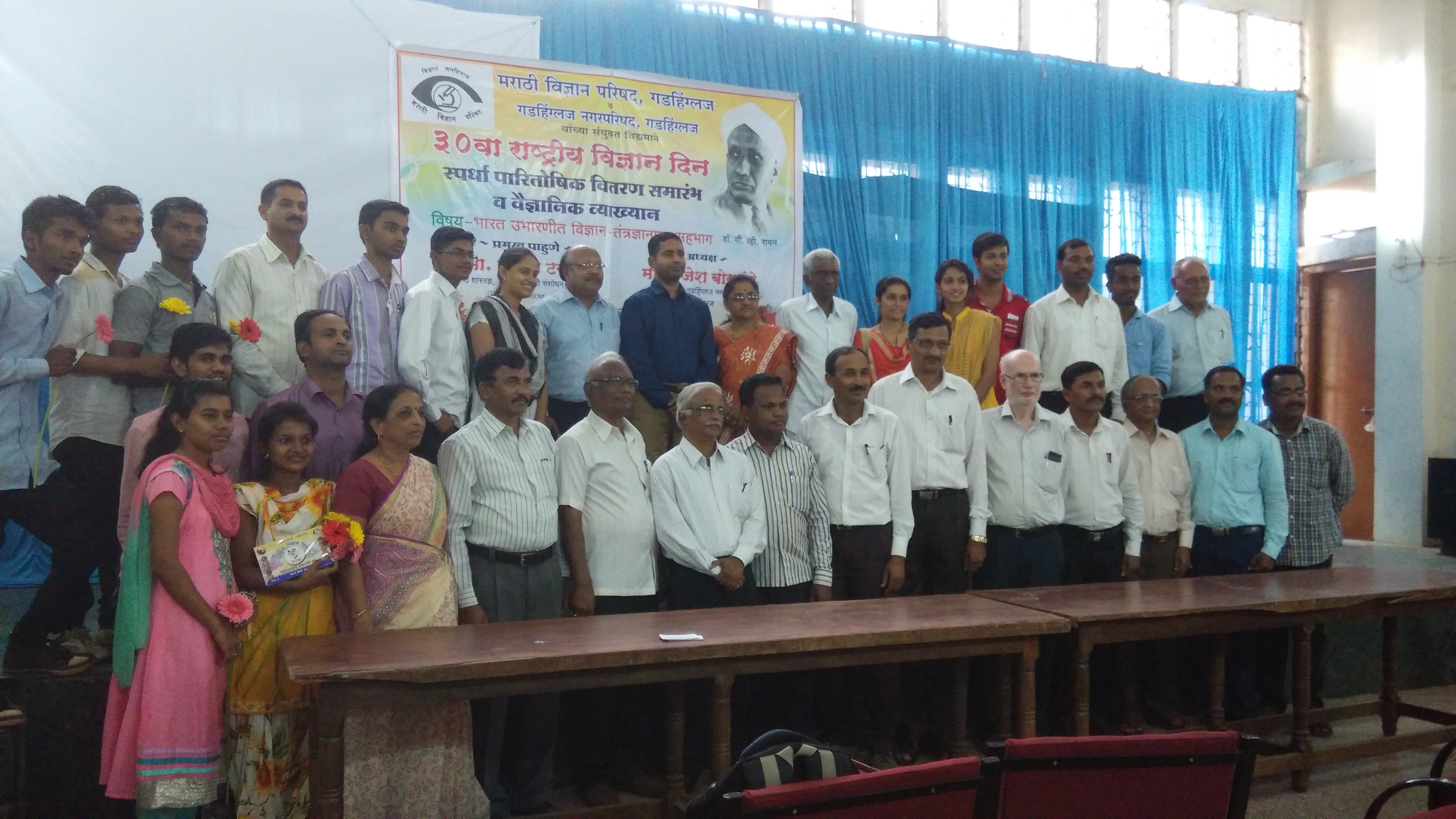
Lecture on National Science Day as Chief Guest for prize distribution at Gadhinglaj Nagarparishad. All Lectures since 26-02-2016 are organised by Marathi Vidnyan Parishad, Gadhinglaj

Lecture on National Science Day as Chief Guest for prize distribution at Gadhinglaj Nagarparishad. All Lectures since 26-02-2016 are organised by Marathi Vidnyan Parishad, Gadhinglaj

Driving from Bombay to Goa, September 2012

Driving from Bombay to Goa, September 2012

Mumbai to Goa, September 2012
Topographic Map of Uttur, Maharashtra, India
Find elevation by address:

Places near Uttur, Maharashtra, India:
Karpewadi Dhumala
Pendharwadi
Chavan Wadi
Mumewadi
Shipur Tarf Ajara.
Jakhewadi
Ardal
Dhamane
Honyali
Halewadi
Kadgaon
Karambali
Madhyal
Masewadi
Jadhewadi
Pimpalgaon
Bamane
Mahagondwadi
Chimane
Bahirewadi
Recent Searches:
- Elevation of Corso Fratelli Cairoli, 35, Macerata MC, Italy
- Elevation of Tallevast Rd, Sarasota, FL, USA
- Elevation of 4th St E, Sonoma, CA, USA
- Elevation of Black Hollow Rd, Pennsdale, PA, USA
- Elevation of Oakland Ave, Williamsport, PA, USA
- Elevation of Pedrógão Grande, Portugal
- Elevation of Klee Dr, Martinsburg, WV, USA
- Elevation of Via Roma, Pieranica CR, Italy
- Elevation of Tavkvetili Mountain, Georgia
- Elevation of Hartfords Bluff Cir, Mt Pleasant, SC, USA