Elevation of Kalkaska County, MI, USA
Location: United States > Michigan >
Longitude: -85.023346
Latitude: 44.6674445
Elevation: 336m / 1102feet
Barometric Pressure: 97KPa
Elevation Map:
Satellite Map:
Related Photos:

Wild Cat
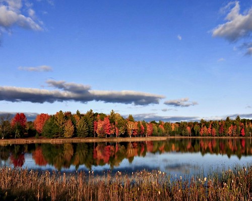
Autumn in Michigan

Chestnut-sided Warbler

20141005-0001-5
Deep woods

gone fishing

peace in its midst

spring buds

hearty exterior

wood lot

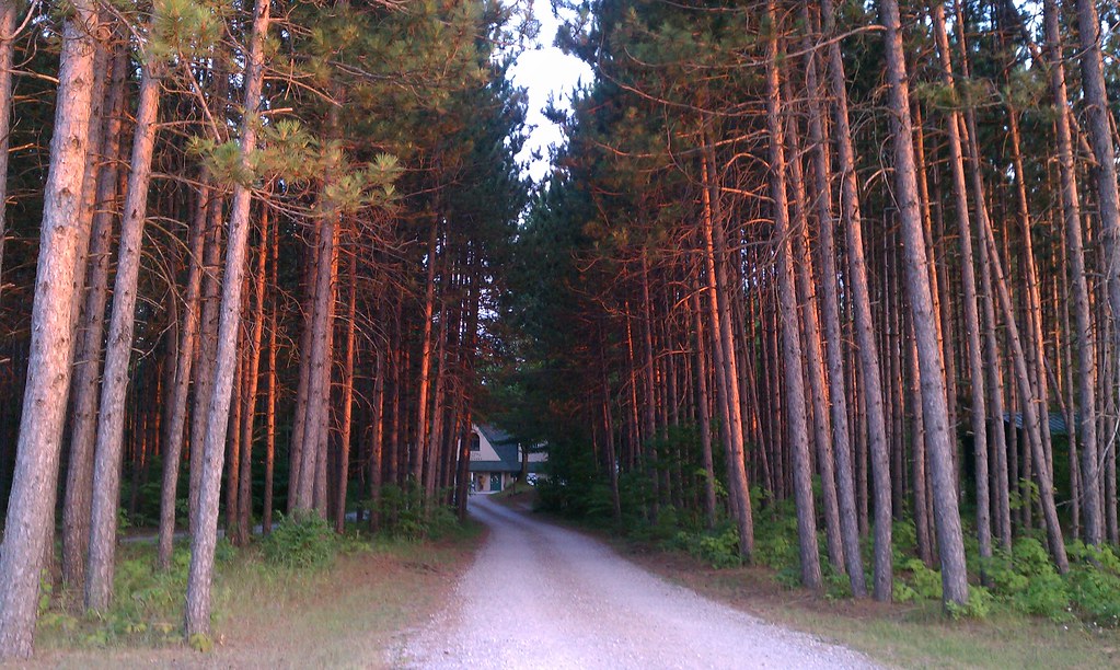
two track

between seasons
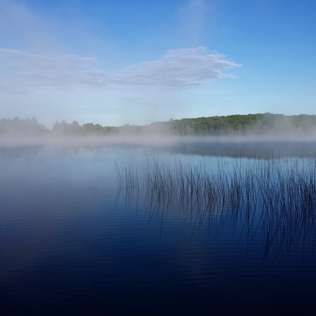
Early morning fog rise on Grass Lake.

Autumn on the Grayling Fingers

Northern Waterthrush

Northern Waterthrush
Topographic Map of Kalkaska County, MI, USA
Find elevation by address:

Places in Kalkaska County, MI, USA:
Rapid River Township
Springfield Township
Blue Lake Township
Garfield Township
Boardman Township
Kalkaska Township
M-66, Kalkaska, MI, USA
Coldsprings Township
Clearwater Township
Places near Kalkaska County, MI, USA:
4662 Sigma Rd Se
Riverview Rd, Fife Lake, MI, USA
Garfield Township
Coldsprings Township
Covert Road Northeast
Crouch Road Southeast
5567 Croy Lake Rd Ne
M-66, Kalkaska, MI, USA
7389 Sunset Trail Rd Ne
Donathan Road
Kalkaska
760 Dorman Rd Ne
760 Dorman Rd Ne
760 Dorman Rd Ne
8978 Starvation Lake Rd Ne
13800 Blue Point Rd
Starvation Lake
Blue Lake Township
Kalkaska Township
9375 Gedman Rd
Recent Searches:
- Elevation of Corso Fratelli Cairoli, 35, Macerata MC, Italy
- Elevation of Tallevast Rd, Sarasota, FL, USA
- Elevation of 4th St E, Sonoma, CA, USA
- Elevation of Black Hollow Rd, Pennsdale, PA, USA
- Elevation of Oakland Ave, Williamsport, PA, USA
- Elevation of Pedrógão Grande, Portugal
- Elevation of Klee Dr, Martinsburg, WV, USA
- Elevation of Via Roma, Pieranica CR, Italy
- Elevation of Tavkvetili Mountain, Georgia
- Elevation of Hartfords Bluff Cir, Mt Pleasant, SC, USA