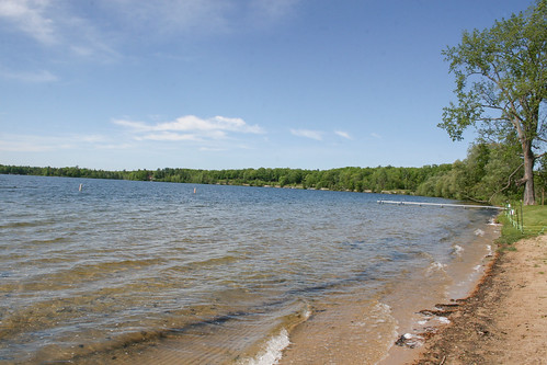
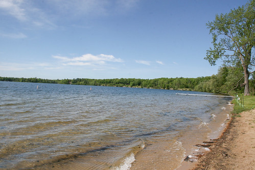
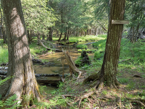
Elevation of Springfield Township, MI, USA
Location: United States > Michigan > Kalkaska County >
Longitude: -85.292938
Latitude: 44.547488
Elevation: 336m / 1102feet
Barometric Pressure: 97KPa
Related Photos:
Topographic Map of Springfield Township, MI, USA
Find elevation by address:

Places in Springfield Township, MI, USA:
Places near Springfield Township, MI, USA:
7986 Ingersoll Rd Sw
Fife Lake
Ingersoll Lake
South Boardman
Boardman Township
Tree Ln SW, South Boardman, MI, USA
Donathan Road
Crouch Road Southeast
M-66, Kalkaska, MI, USA
Manton
Forest Township
Kalkaska Township
Rennie View, Traverse City, MI, USA
Kalkaska
Lake City
Riverview Rd, Fife Lake, MI, USA
Garfield Township
Whitewater Township
Forest Lakes
7692 Crisp Rd
Recent Searches:
- Elevation of Corso Fratelli Cairoli, 35, Macerata MC, Italy
- Elevation of Tallevast Rd, Sarasota, FL, USA
- Elevation of 4th St E, Sonoma, CA, USA
- Elevation of Black Hollow Rd, Pennsdale, PA, USA
- Elevation of Oakland Ave, Williamsport, PA, USA
- Elevation of Pedrógão Grande, Portugal
- Elevation of Klee Dr, Martinsburg, WV, USA
- Elevation of Via Roma, Pieranica CR, Italy
- Elevation of Tavkvetili Mountain, Georgia
- Elevation of Hartfords Bluff Cir, Mt Pleasant, SC, USA
