Elevation of Ingersoll Lake, Springfield Township, MI, USA
Location: United States > Michigan > Kalkaska County > Springfield Township >
Longitude: -85.226310
Latitude: 44.5676255
Elevation: 338m / 1109feet
Barometric Pressure: 97KPa
Elevation Map:
Satellite Map:
Related Photos:
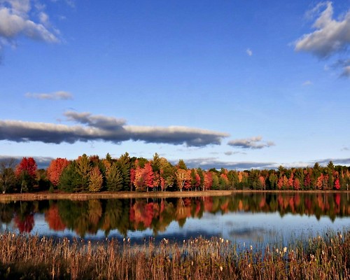
Autumn in Michigan
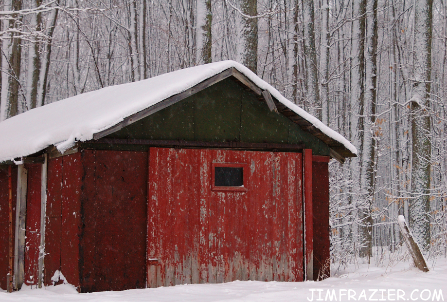
Red Cabin in Snow

Brown Leaves and Snow

Brown Leaves and Snow

20141005-0001-5
2002-2006-13

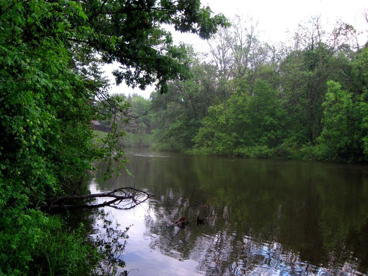
gone fishing

img001973.JPG
img002003.JPG

img001975.JPG
img002005.JPG

img001978.JPG

peace in its midst

spring buds

hearty exterior
img001972.JPG

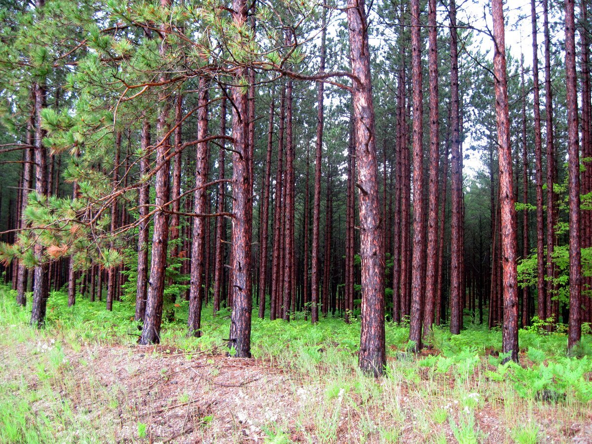
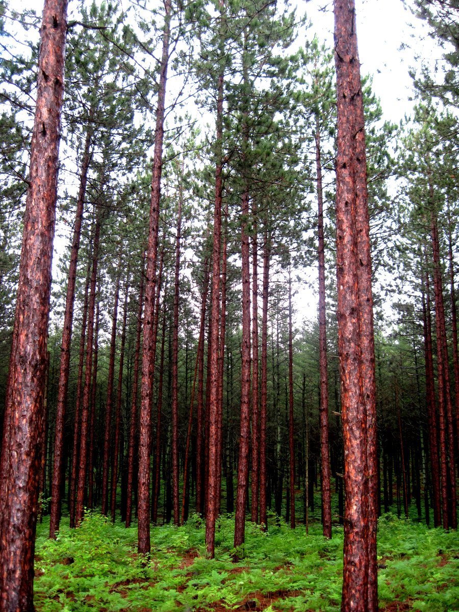
wood lot

two track

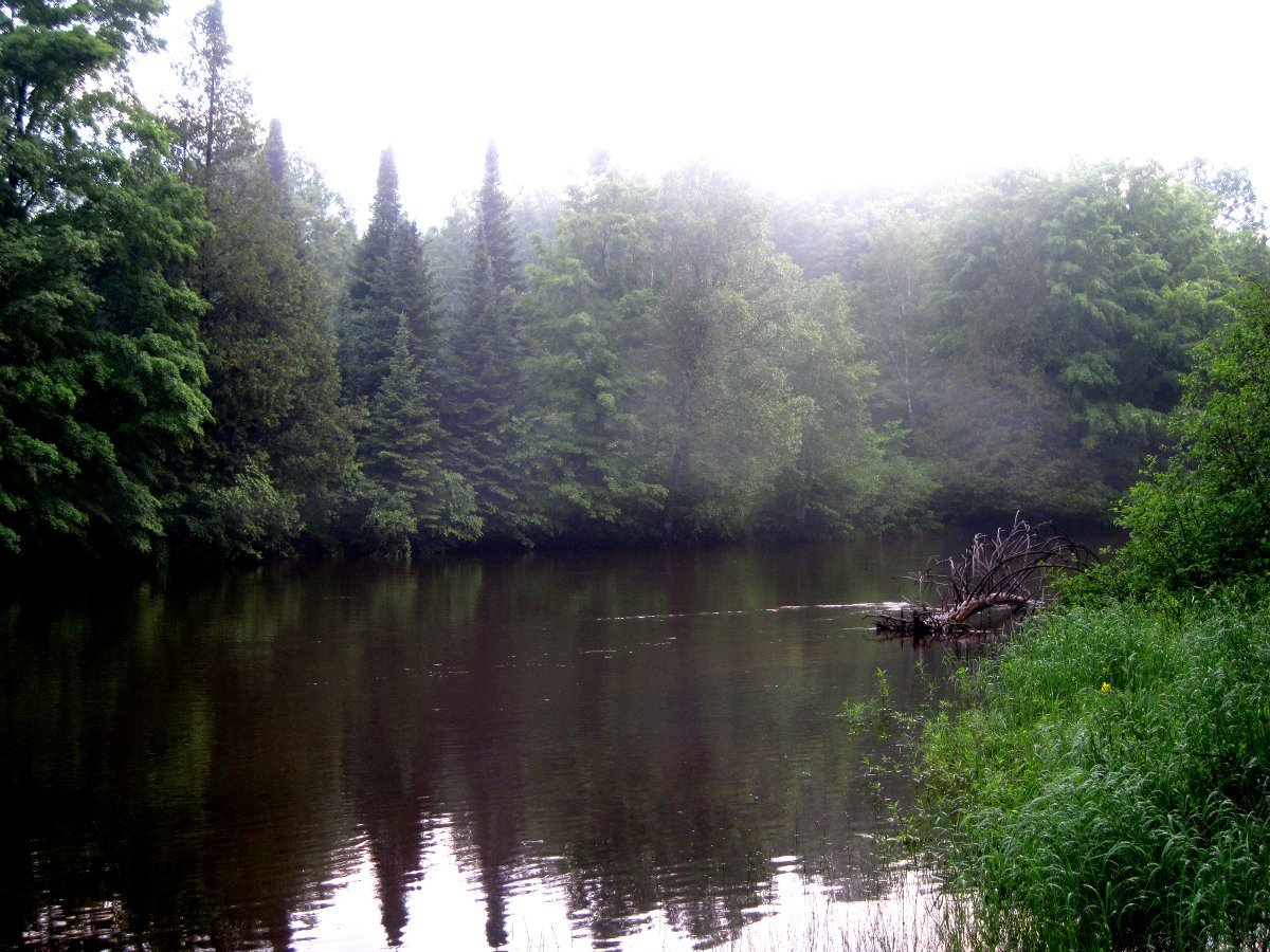
between seasons
img001974.JPG
img002004.JPG

img002011.JPG
Topographic Map of Ingersoll Lake, Springfield Township, MI, USA
Find elevation by address:

Places near Ingersoll Lake, Springfield Township, MI, USA:
Springfield Township
Donathan Road
Crouch Road Southeast
M-66, Kalkaska, MI, USA
South Boardman
Boardman Township
Tree Ln SW, South Boardman, MI, USA
7986 Ingersoll Rd Sw
Fife Lake
Riverview Rd, Fife Lake, MI, USA
Garfield Township
Kalkaska Township
Kalkaska
Forest Township
4662 Sigma Rd Se
Kalkaska County
760 Dorman Rd Ne
760 Dorman Rd Ne
760 Dorman Rd Ne
Lake City
Recent Searches:
- Elevation of Corso Fratelli Cairoli, 35, Macerata MC, Italy
- Elevation of Tallevast Rd, Sarasota, FL, USA
- Elevation of 4th St E, Sonoma, CA, USA
- Elevation of Black Hollow Rd, Pennsdale, PA, USA
- Elevation of Oakland Ave, Williamsport, PA, USA
- Elevation of Pedrógão Grande, Portugal
- Elevation of Klee Dr, Martinsburg, WV, USA
- Elevation of Via Roma, Pieranica CR, Italy
- Elevation of Tavkvetili Mountain, Georgia
- Elevation of Hartfords Bluff Cir, Mt Pleasant, SC, USA