Elevation of Sigma Rd SE, Kalkaska, MI, USA
Location: United States > Michigan > Kalkaska County >
Longitude: -85.053603
Latitude: 44.6461885
Elevation: 350m / 1148feet
Barometric Pressure: 97KPa
Elevation Map:
Satellite Map:
Related Photos:

Wild Cat

Northern Waterthrush
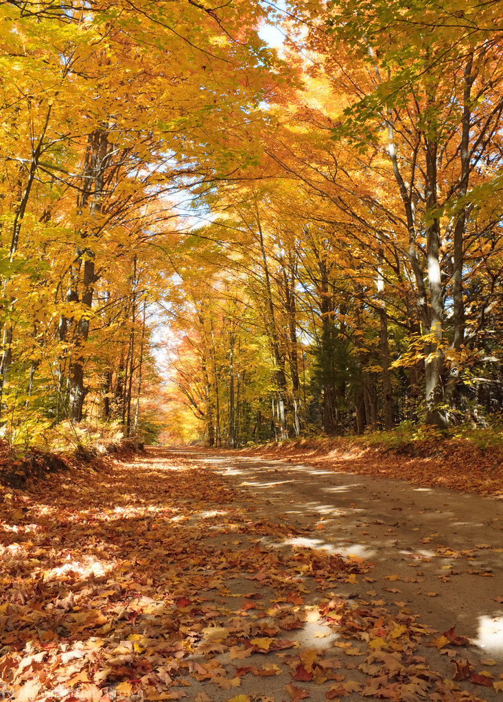
Yellow autumn trees over a Michigan backroad

Old barn and fall colors along M-72, west of Grayling, Michigan

20141005-0001-5

spring buds

gone fishing

wood lot

The Woods

peace in its midst

hearty exterior

between seasons
Topographic Map of Sigma Rd SE, Kalkaska, MI, USA
Find elevation by address:

Places near Sigma Rd SE, Kalkaska, MI, USA:
Kalkaska County
Riverview Rd, Fife Lake, MI, USA
Garfield Township
Crouch Road Southeast
M-66, Kalkaska, MI, USA
Donathan Road
Coldsprings Township
Kalkaska
5567 Croy Lake Rd Ne
Covert Road Northeast
760 Dorman Rd Ne
760 Dorman Rd Ne
760 Dorman Rd Ne
Kalkaska Township
Tree Ln SW, South Boardman, MI, USA
Ingersoll Lake
Rapid River Township
Boardman Township
7389 Sunset Trail Rd Ne
8978 Starvation Lake Rd Ne
Recent Searches:
- Elevation of Corso Fratelli Cairoli, 35, Macerata MC, Italy
- Elevation of Tallevast Rd, Sarasota, FL, USA
- Elevation of 4th St E, Sonoma, CA, USA
- Elevation of Black Hollow Rd, Pennsdale, PA, USA
- Elevation of Oakland Ave, Williamsport, PA, USA
- Elevation of Pedrógão Grande, Portugal
- Elevation of Klee Dr, Martinsburg, WV, USA
- Elevation of Via Roma, Pieranica CR, Italy
- Elevation of Tavkvetili Mountain, Georgia
- Elevation of Hartfords Bluff Cir, Mt Pleasant, SC, USA