Elevation of Sunset Trail Rd NE, Mancelona, MI, USA
Location: United States > Michigan > Kalkaska County > Blue Lake Township >
Longitude: -84.957236
Latitude: 44.8203295
Elevation: 376m / 1234feet
Barometric Pressure: 97KPa
Elevation Map:
Satellite Map:
Related Photos:
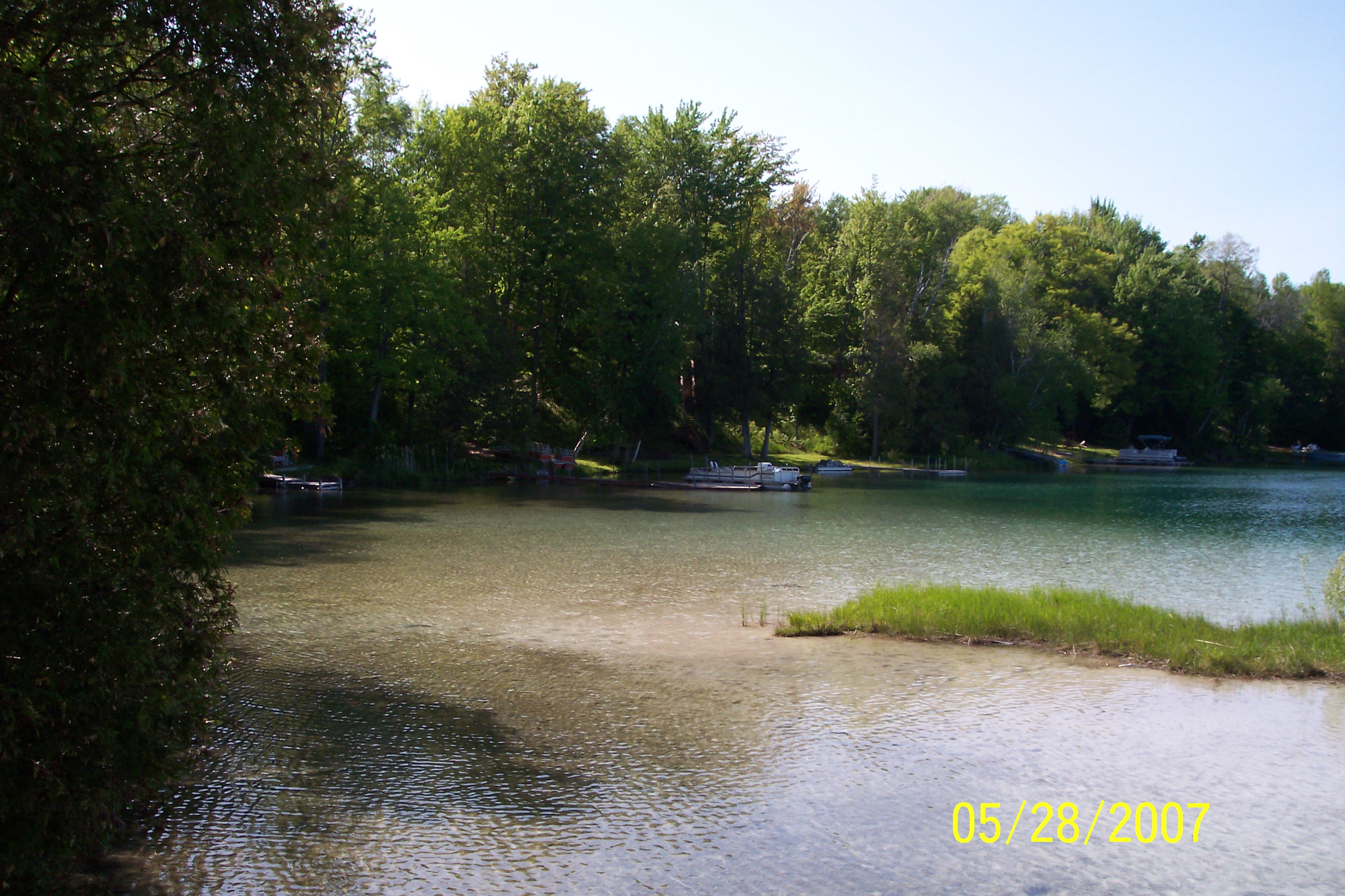
Mem Weekend 2007-44
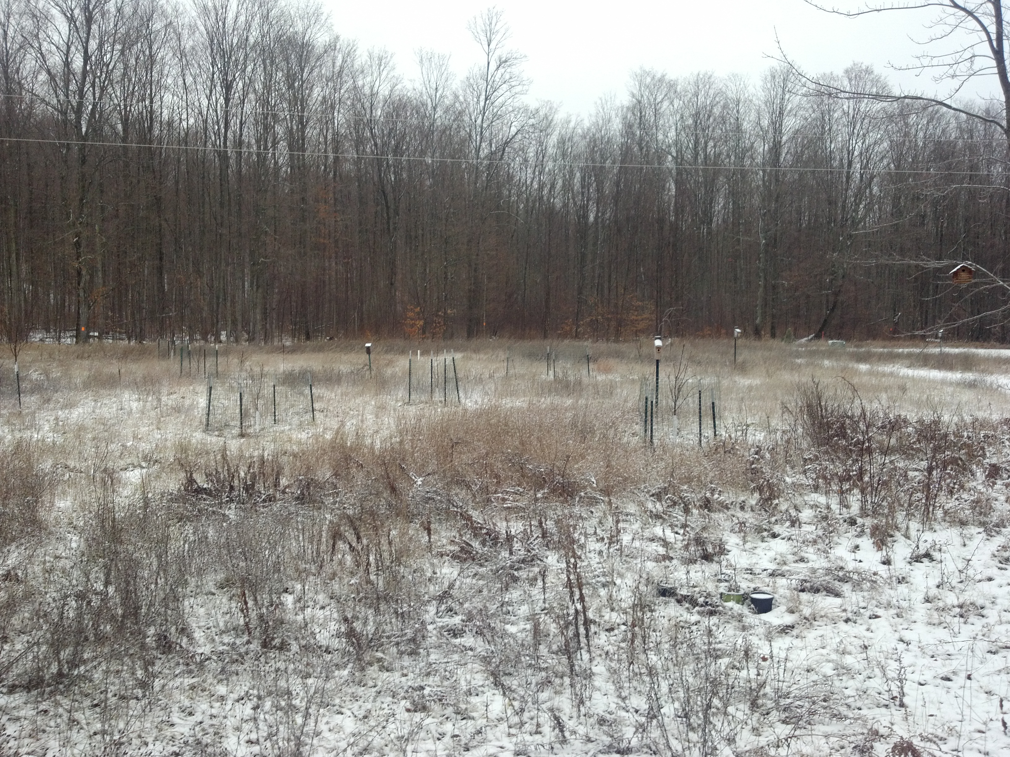
First taste of snow. . .

Blackburnian Warbler

Blackburnian Warbler

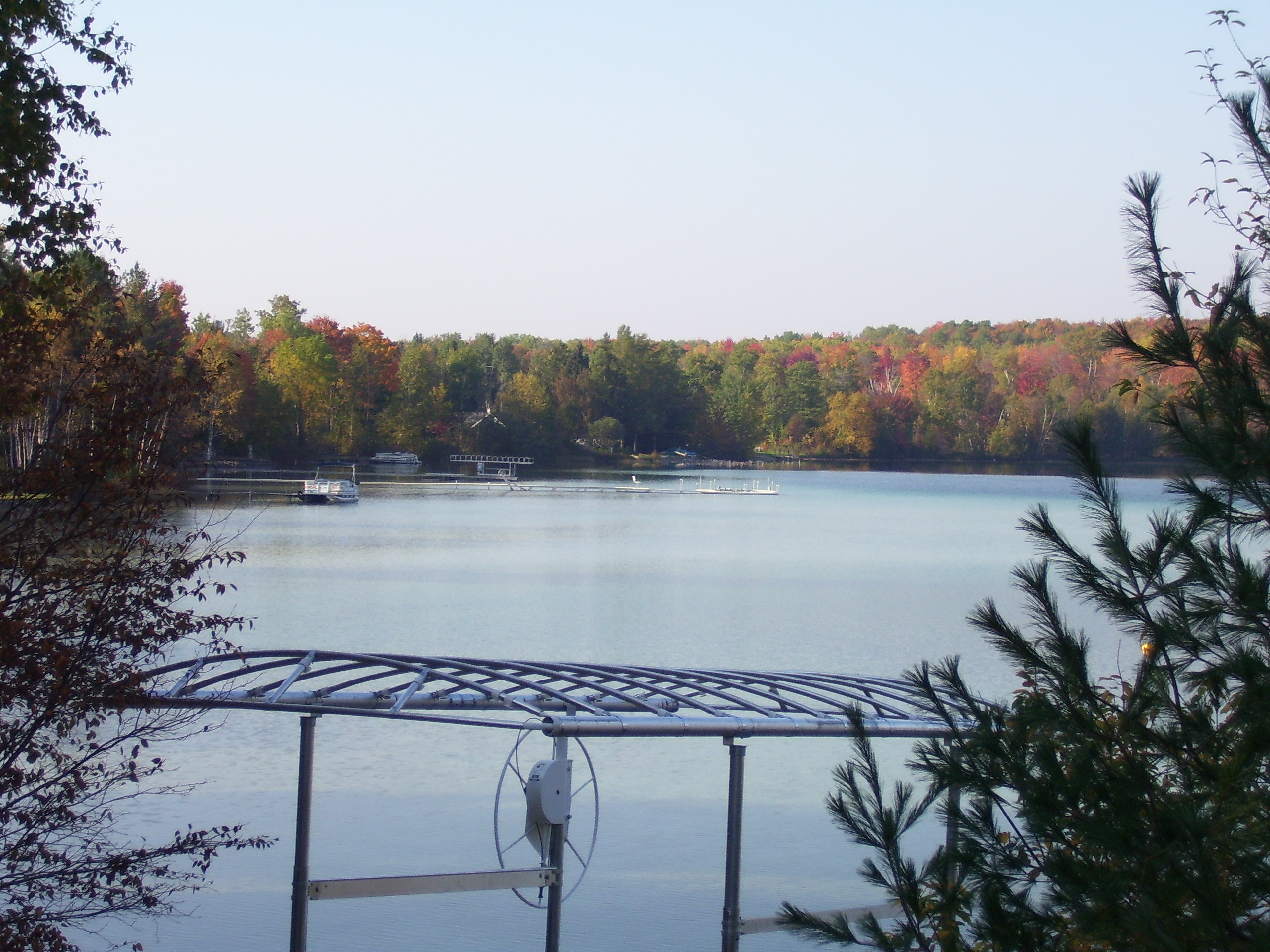
The view out of the back of the cabin.

Morning View. . .
Mem Weekend 2007-43
Mem Weekend 2007-42

Chestnut-sided Warbler
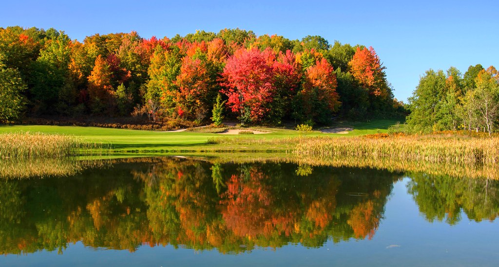
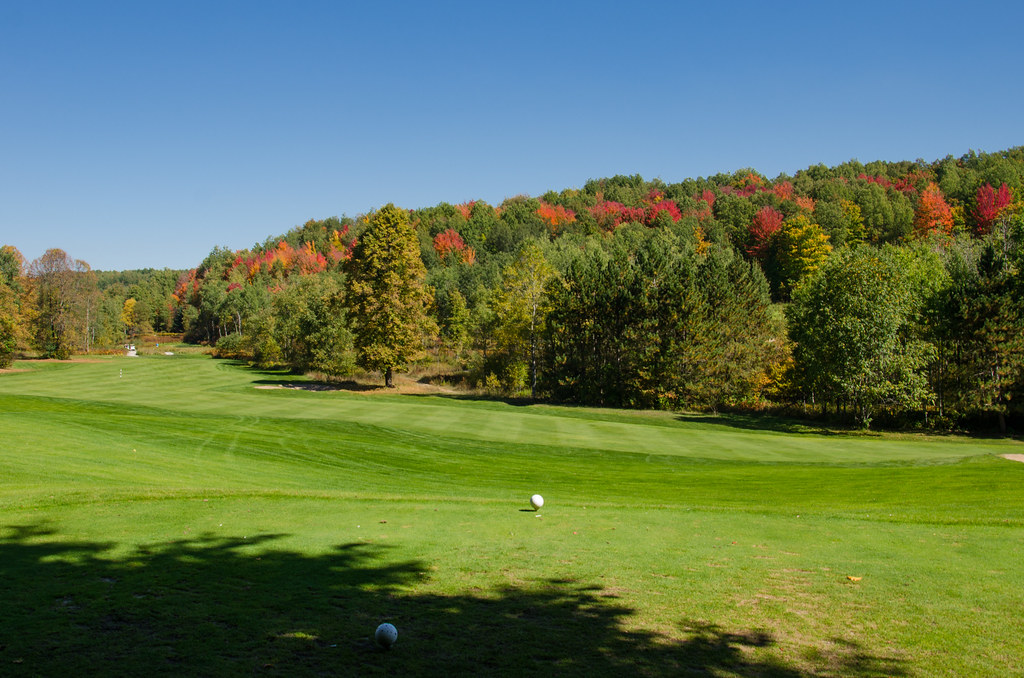
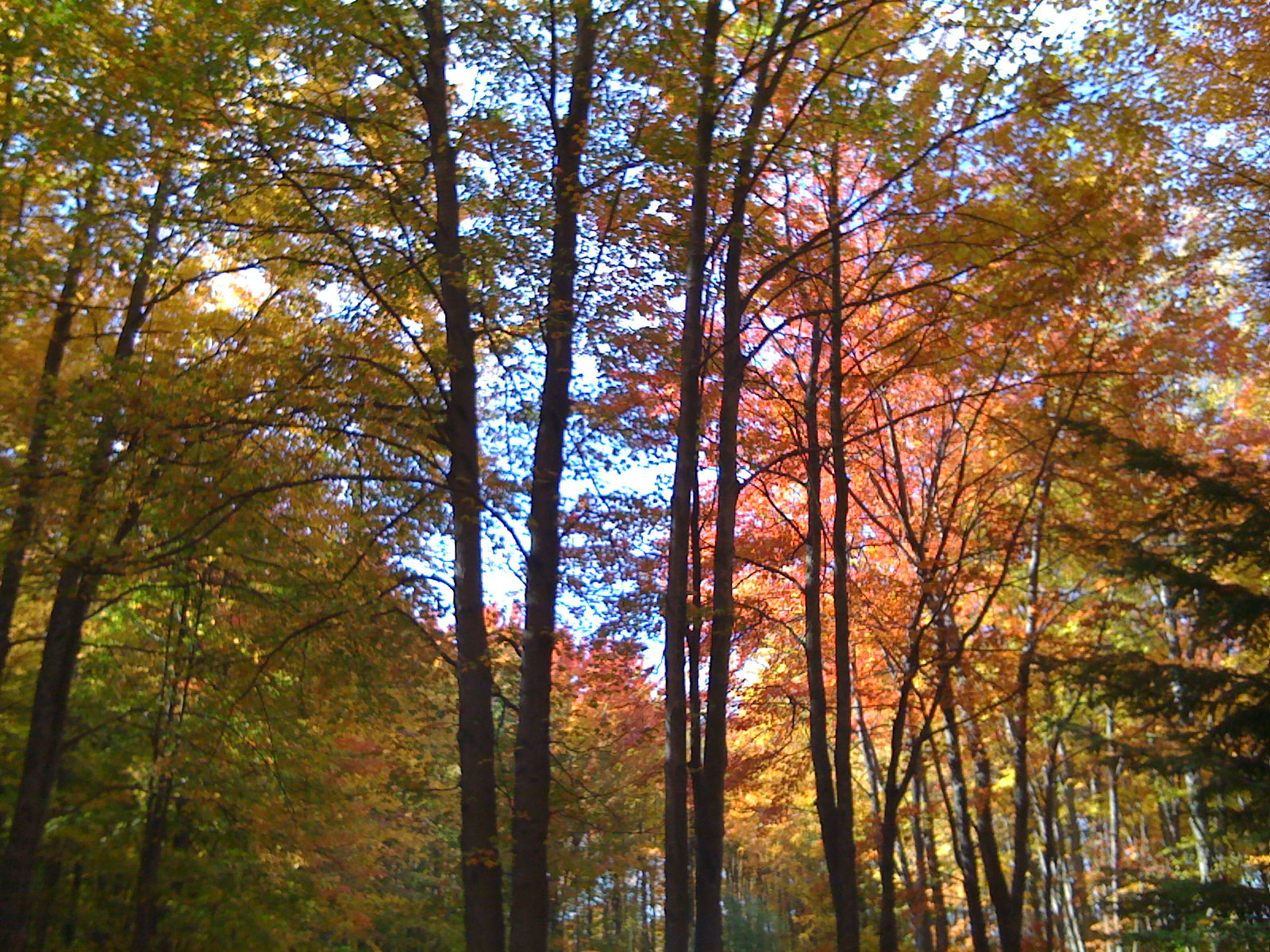
Autumn Golf
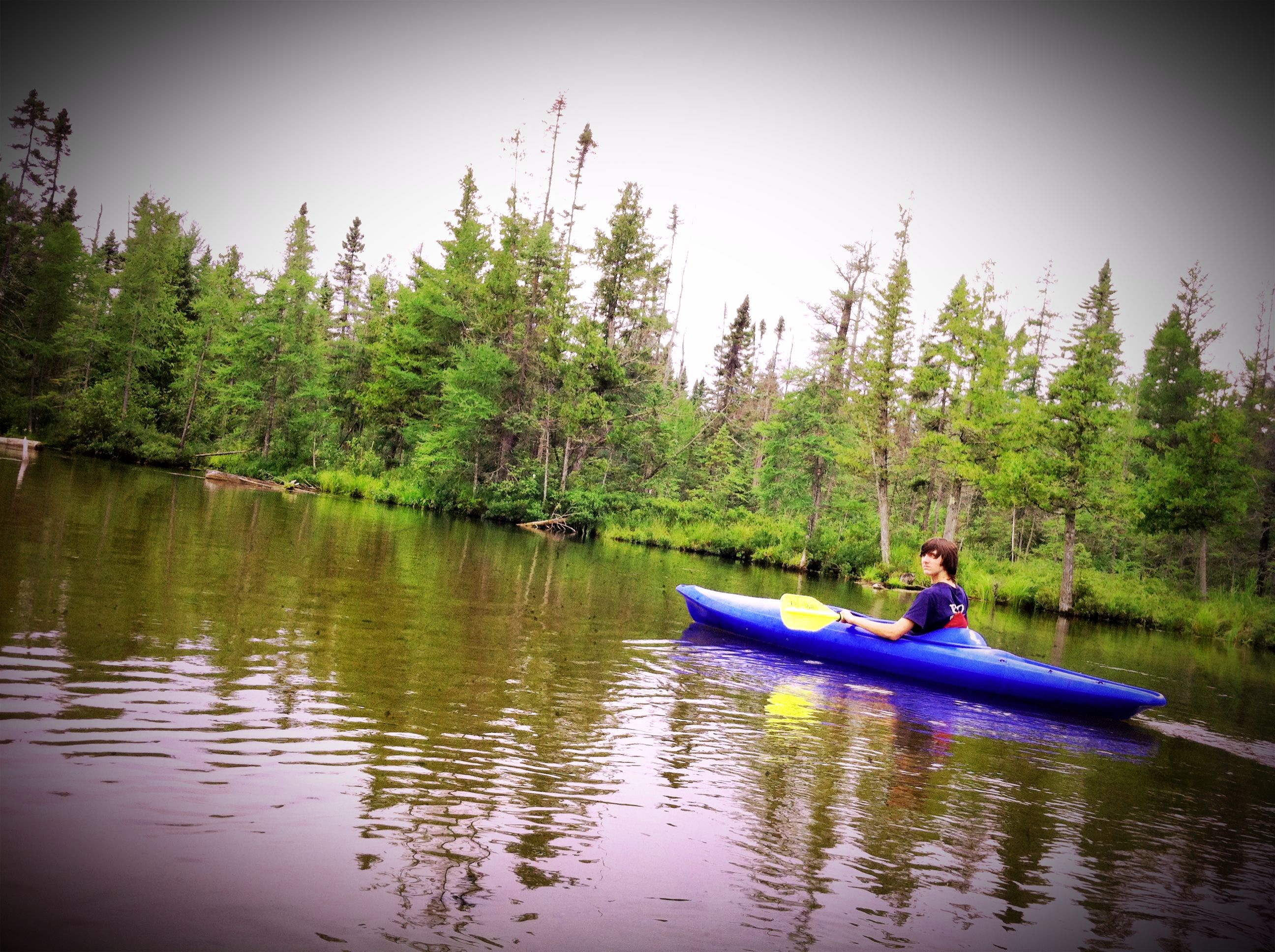
Upper Manistee River

Picture 344-2
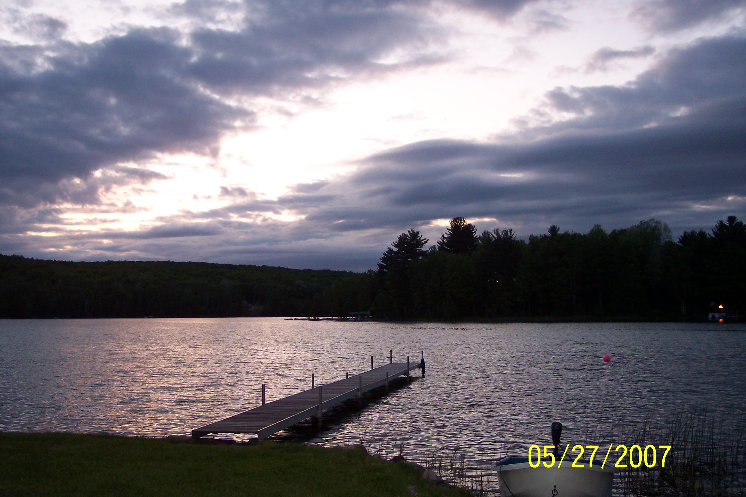
Sitting' On The Dock Of The Bay . . .
Up North Golf Outing-20
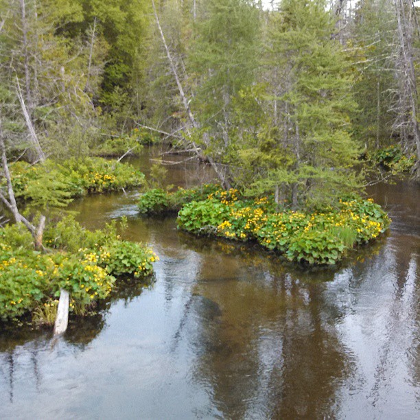
Marsh Marigolds still there . . .
along the dog walk
Mem Weekend 2007-29
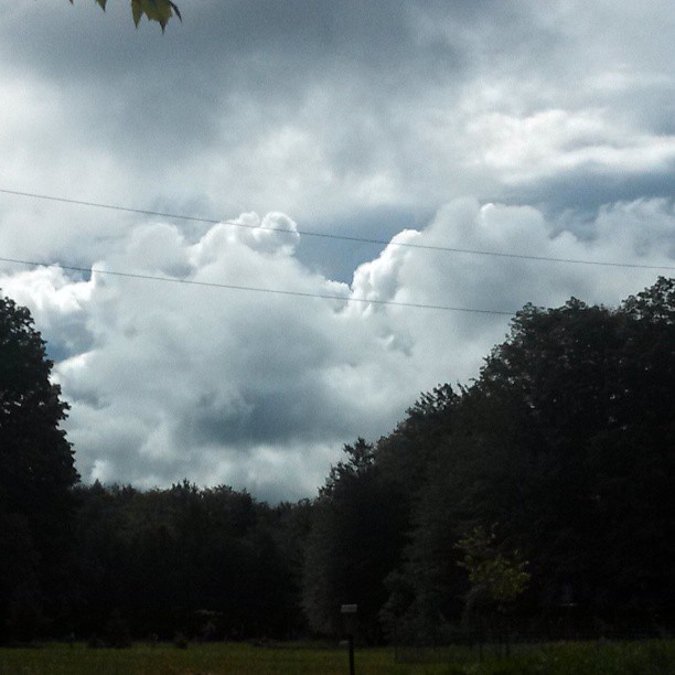
Dramatic clouds this morning . . .
Oct 2006-6
Up North Golf Outing-21
Oct 2006-5

EOS REBEL T4i201210120739
From Phone-30
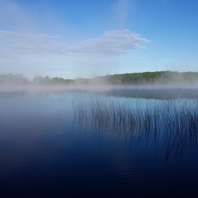
Early morning fog rise on Grass Lake.

Whispering Pines Road
Oct 2007-61
Oct 2007-25

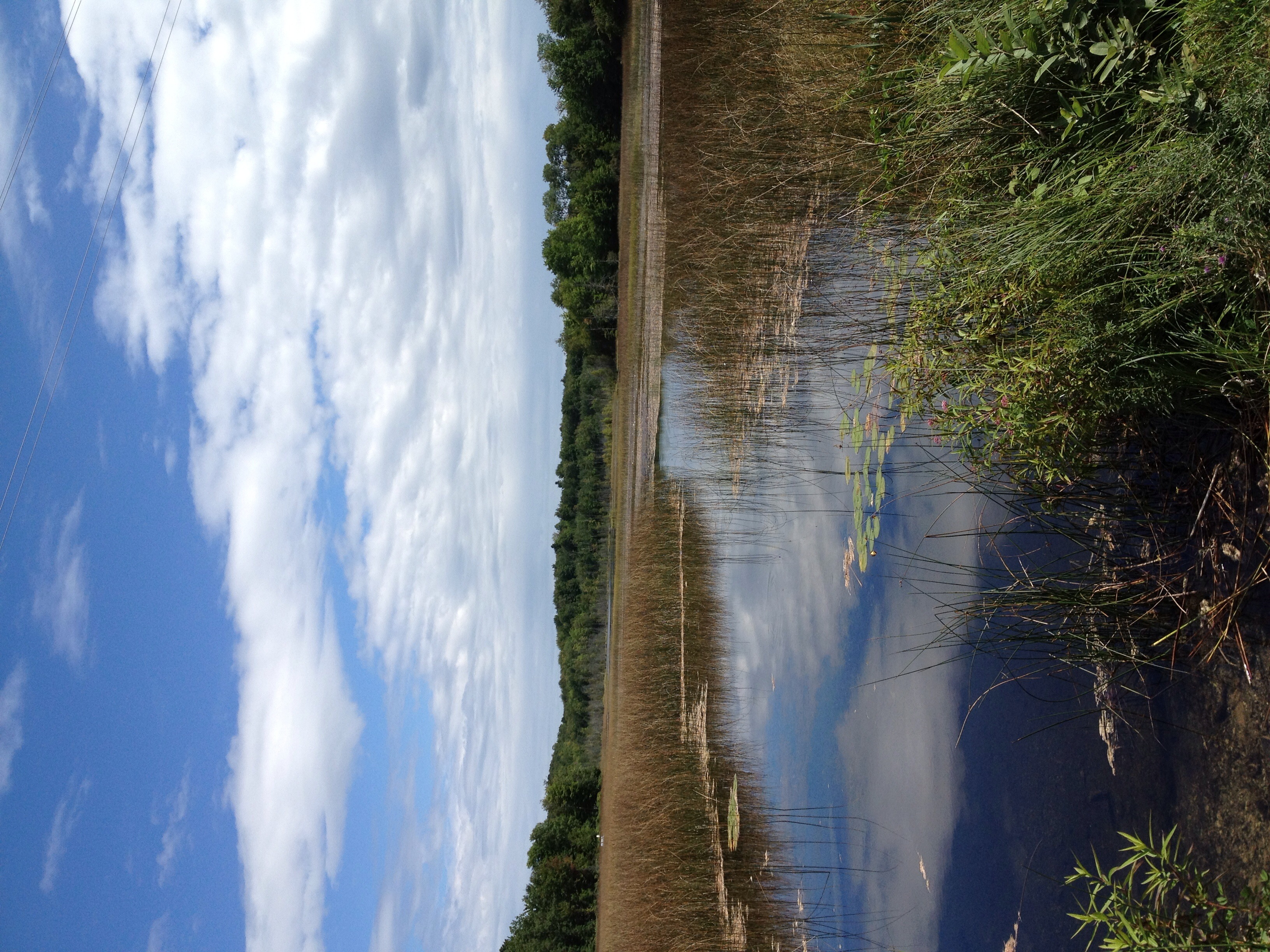
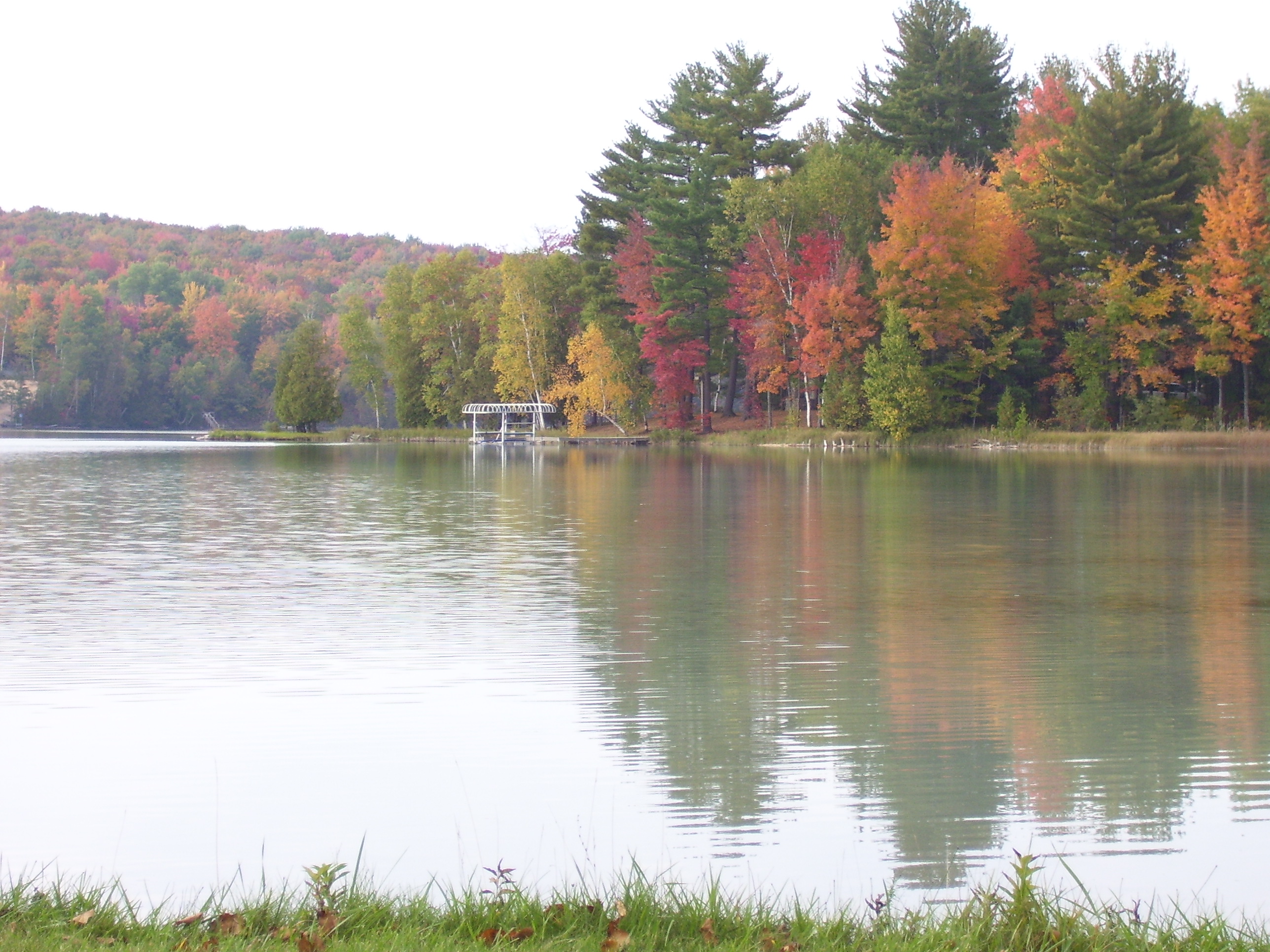
Autumn on the Grayling Fingers
IMG_0051.JPG
Topographic Map of Sunset Trail Rd NE, Mancelona, MI, USA
Find elevation by address:

Places near Sunset Trail Rd NE, Mancelona, MI, USA:
Starvation Lake
9375 Gedman Rd
Blue Lake Township
8978 Starvation Lake Rd Ne
Covert Road Northeast
13800 Blue Point Rd
Mancelona Township
Coldsprings Township
5567 Croy Lake Rd Ne
4767 Scholl Rd
2702 Soderquist Rd
Deward
Mancelona
406 Shadyshore Pkwy #406
Frederic Township
Kalkaska County
Star Township
4347 Gates Dr
2510 Primrose Rd
4662 Sigma Rd Se
Recent Searches:
- Elevation of Corso Fratelli Cairoli, 35, Macerata MC, Italy
- Elevation of Tallevast Rd, Sarasota, FL, USA
- Elevation of 4th St E, Sonoma, CA, USA
- Elevation of Black Hollow Rd, Pennsdale, PA, USA
- Elevation of Oakland Ave, Williamsport, PA, USA
- Elevation of Pedrógão Grande, Portugal
- Elevation of Klee Dr, Martinsburg, WV, USA
- Elevation of Via Roma, Pieranica CR, Italy
- Elevation of Tavkvetili Mountain, Georgia
- Elevation of Hartfords Bluff Cir, Mt Pleasant, SC, USA