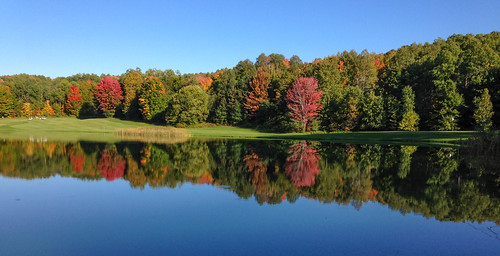
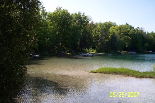
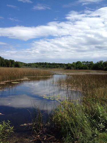
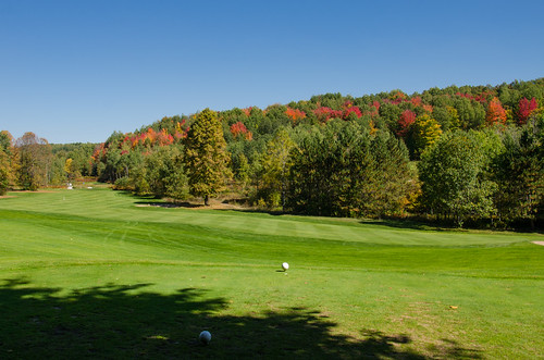
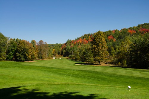
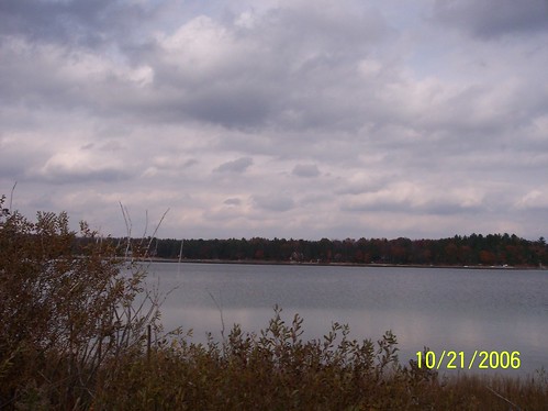
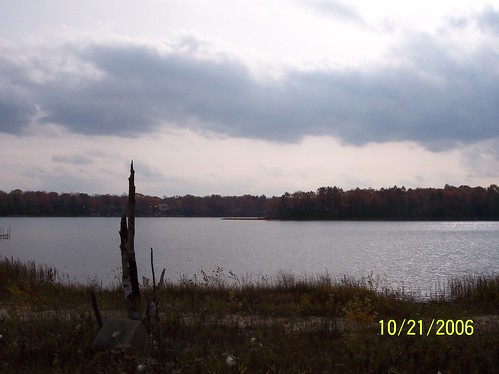
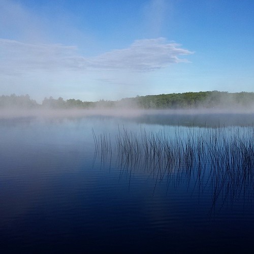
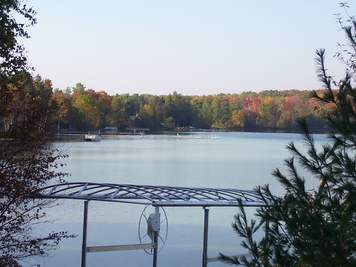
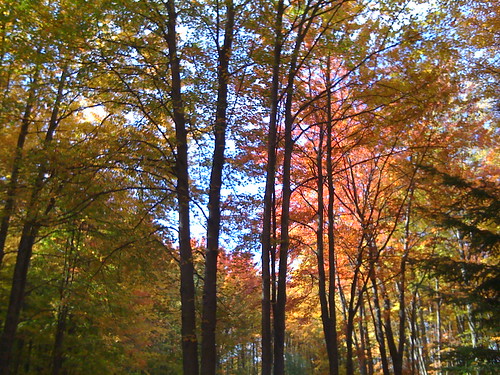
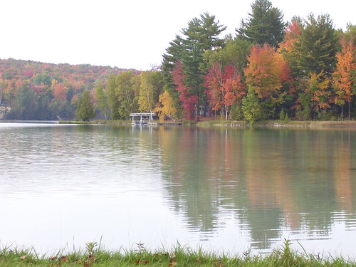
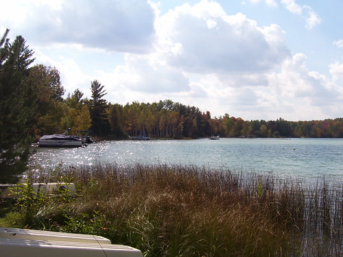
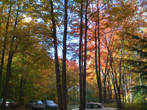
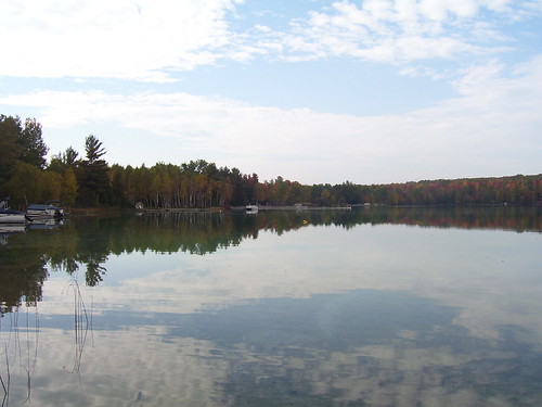
Elevation of Starvation Lake, Blue Lake Township, MI, USA
Location: United States > Michigan > Kalkaska County > Blue Lake Township >
Longitude: -84.948588
Latitude: 44.8459511
Elevation: 370m / 1214feet
Barometric Pressure: 97KPa
Related Photos:
Topographic Map of Starvation Lake, Blue Lake Township, MI, USA
Find elevation by address:

Places near Starvation Lake, Blue Lake Township, MI, USA:
9375 Gedman Rd
7389 Sunset Trail Rd Ne
Blue Lake Township
8978 Starvation Lake Rd Ne
Mancelona Township
13800 Blue Point Rd
Covert Road Northeast
4767 Scholl Rd
2702 Soderquist Rd
Coldsprings Township
406 Shadyshore Pkwy #406
5567 Croy Lake Rd Ne
Deward
Mancelona
Star Township
4347 Gates Dr
2510 Primrose Rd
Frederic Township
Hayes Township
Kalkaska County
Recent Searches:
- Elevation of Corso Fratelli Cairoli, 35, Macerata MC, Italy
- Elevation of Tallevast Rd, Sarasota, FL, USA
- Elevation of 4th St E, Sonoma, CA, USA
- Elevation of Black Hollow Rd, Pennsdale, PA, USA
- Elevation of Oakland Ave, Williamsport, PA, USA
- Elevation of Pedrógão Grande, Portugal
- Elevation of Klee Dr, Martinsburg, WV, USA
- Elevation of Via Roma, Pieranica CR, Italy
- Elevation of Tavkvetili Mountain, Georgia
- Elevation of Hartfords Bluff Cir, Mt Pleasant, SC, USA
