Elevation of Iron Horse Rd, Kirkland, AZ, USA
Location: United States > Arizona > Yavapai County > Kirkland >
Longitude: -112.90460
Latitude: 34.4881055
Elevation: 1055m / 3461feet
Barometric Pressure: 89KPa
Elevation Map:
Satellite Map:
Related Photos:

Painted duck

MPW_1759-Cropped (Custom)

Kirkland Peak

Walking' the dog

On the banks of the Santa Maria

Moss looks like Coscinodon calyptratu_Bagdad_Feb 2017
Train in Skull Valley

Duck near Yarnell CCU_Oct 2018

Rare water filled wash

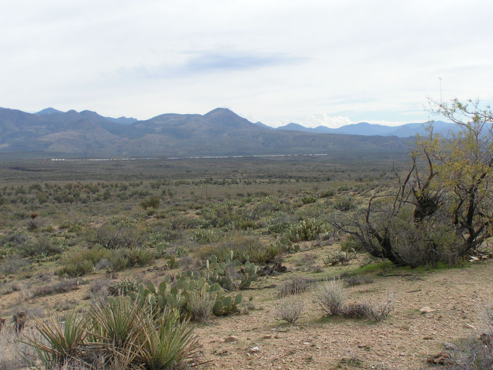
Looking East

Group check before heading back
Topographic Map of Iron Horse Rd, Kirkland, AZ, USA
Find elevation by address:

Places near Iron Horse Rd, Kirkland, AZ, USA:
350 Iron Horse Rd
350 Iron Horse Rd
Hillside Rd, Bagdad, AZ, USA
Date Creek Rd, Congress, AZ, USA
Z3 Ranch Rd, Skull Valley, AZ, USA
Kirkland
2450 Iron Springs Rd
8235 Co Rd 10
2565 Iron Springs Rd
3550 Iron Springs Rd
Skull Valley
Date Creek Rd, Congress, AZ, USA
8370 E Windmill Rd
6811 Windmill Rd
11975 W Bull Elk Ridge
Bull Elk Ridge
17542 Pinon Ln
17502 Pinon Ln
17792 Oak Dr
Peeples Valley
Recent Searches:
- Elevation of Corso Fratelli Cairoli, 35, Macerata MC, Italy
- Elevation of Tallevast Rd, Sarasota, FL, USA
- Elevation of 4th St E, Sonoma, CA, USA
- Elevation of Black Hollow Rd, Pennsdale, PA, USA
- Elevation of Oakland Ave, Williamsport, PA, USA
- Elevation of Pedrógão Grande, Portugal
- Elevation of Klee Dr, Martinsburg, WV, USA
- Elevation of Via Roma, Pieranica CR, Italy
- Elevation of Tavkvetili Mountain, Georgia
- Elevation of Hartfords Bluff Cir, Mt Pleasant, SC, USA