Elevation of Date Creek Rd, Congress, AZ, USA
Location: United States > Arizona > Yavapai County > Congress >
Longitude: -112.91641
Latitude: 34.303658
Elevation: 1014m / 3327feet
Barometric Pressure: 90KPa
Elevation Map:
Satellite Map:
Related Photos:

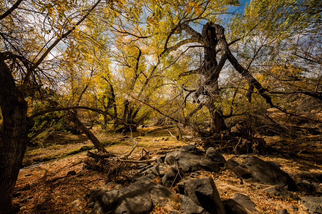
Frog Rock

_ALS6049-Edit.jpg
_ALS6047-Edit.jpg

_ALS6095-Edit.jpg

_ALS6083-Edit.jpg
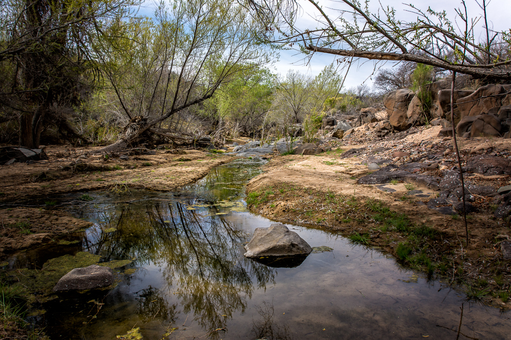
Date Creek Reflections
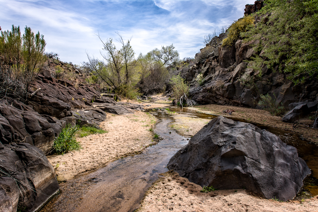
Date Creek Crossing
Date Creek
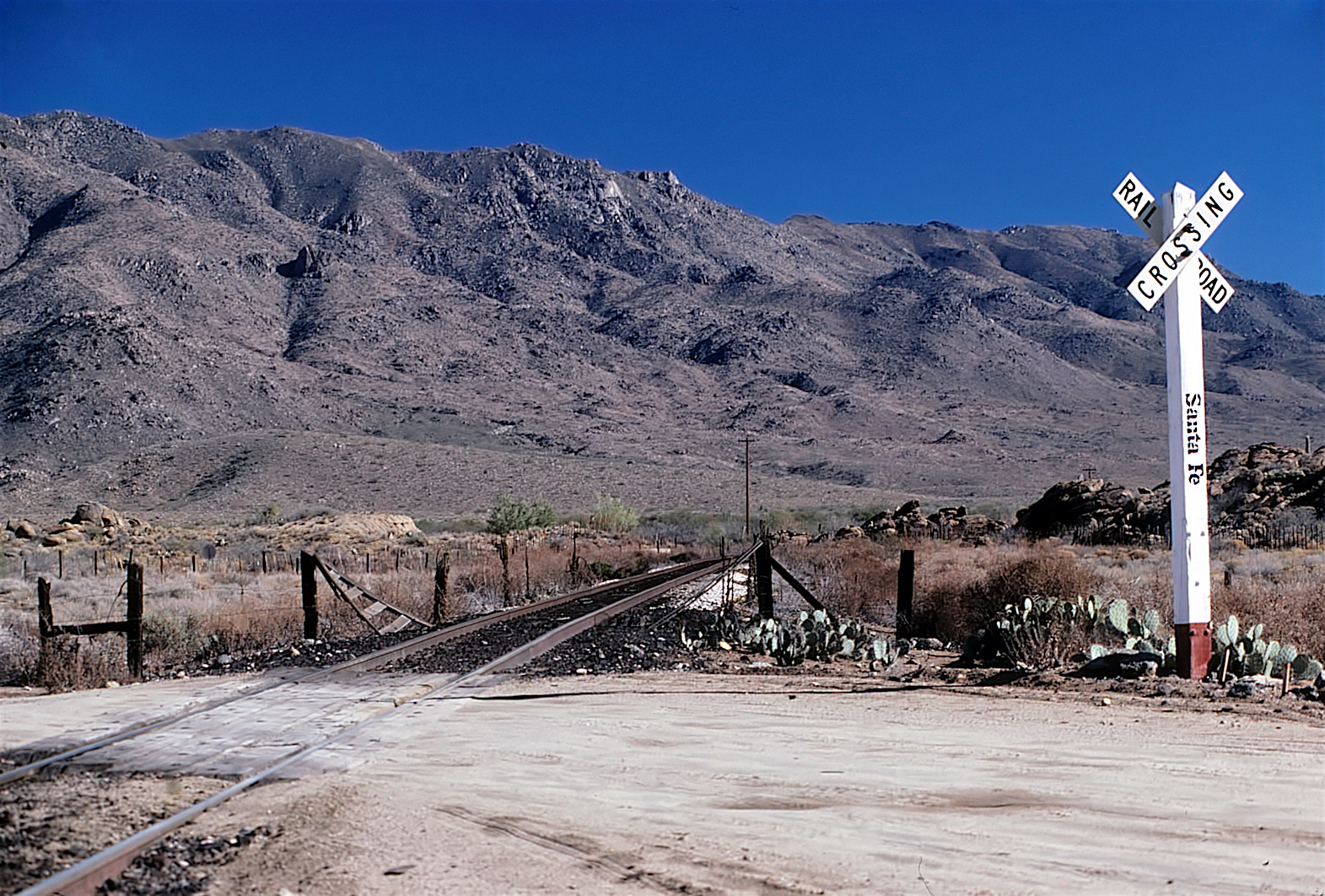
AT&SF 12-18-81
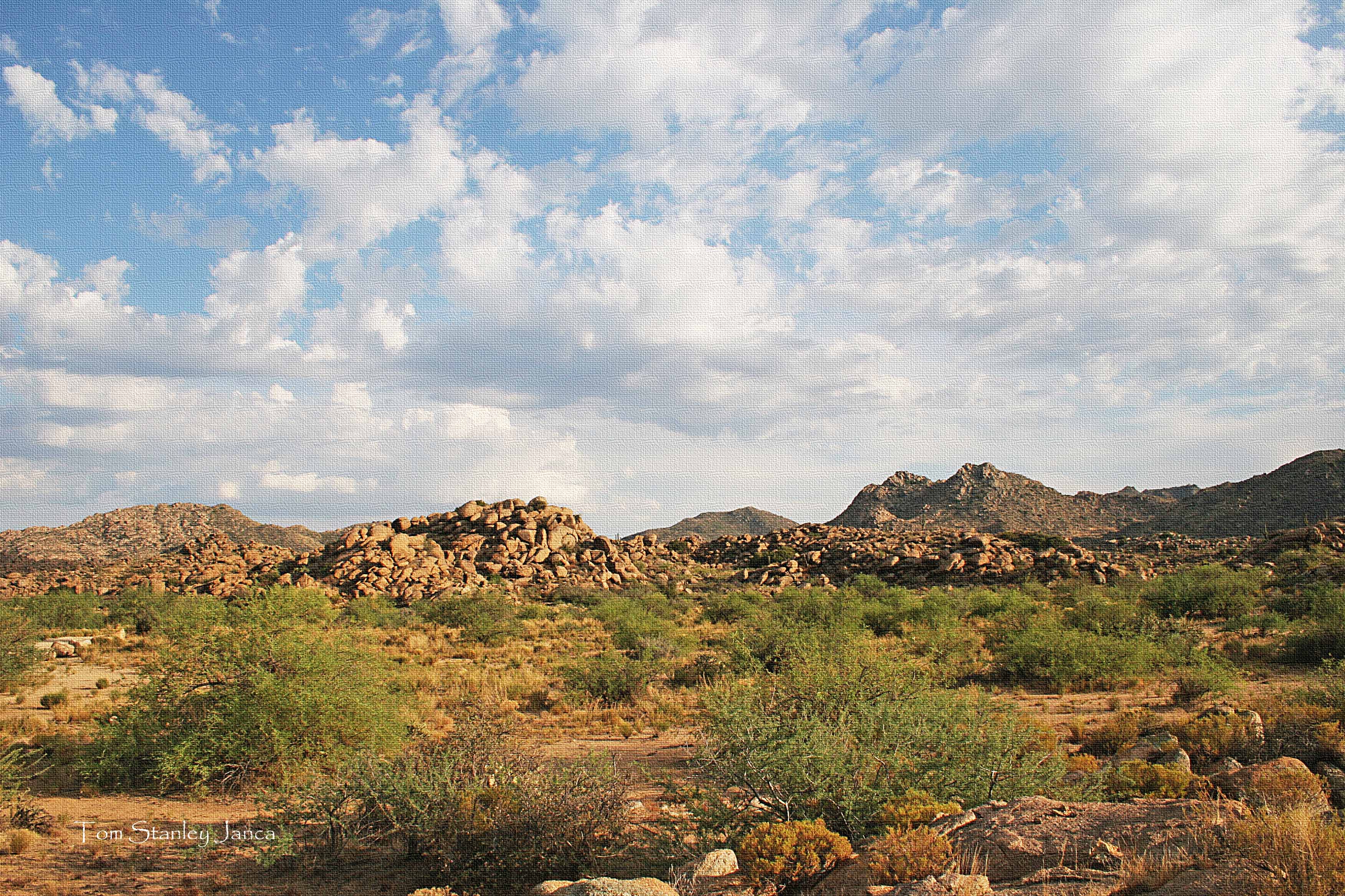
Granite Boulder and Clouds.

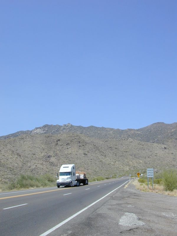
Yavapai County 04-23-2010

Yavapai County 04-23-2010

Yavapai County 04-23-2010
Jerome and the ride to...Arizona
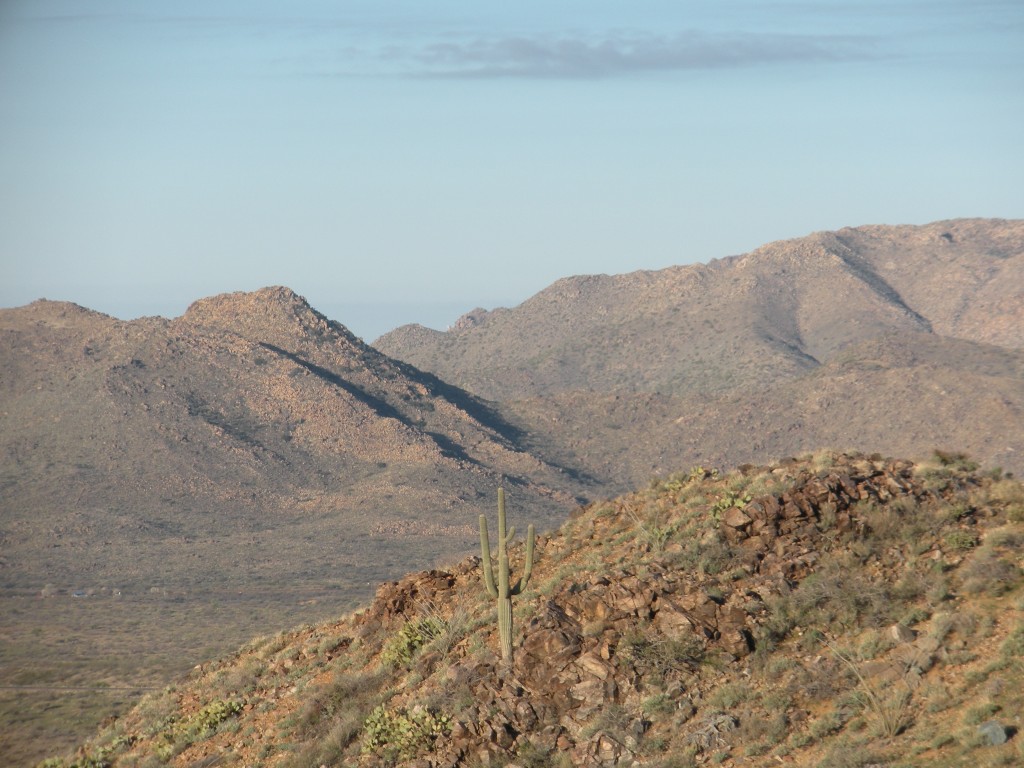
Saguaro Cactus
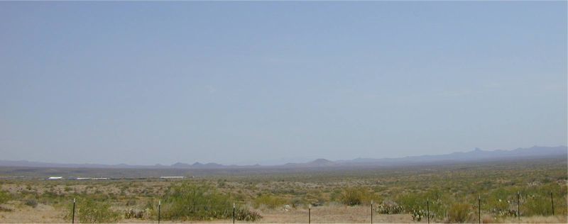
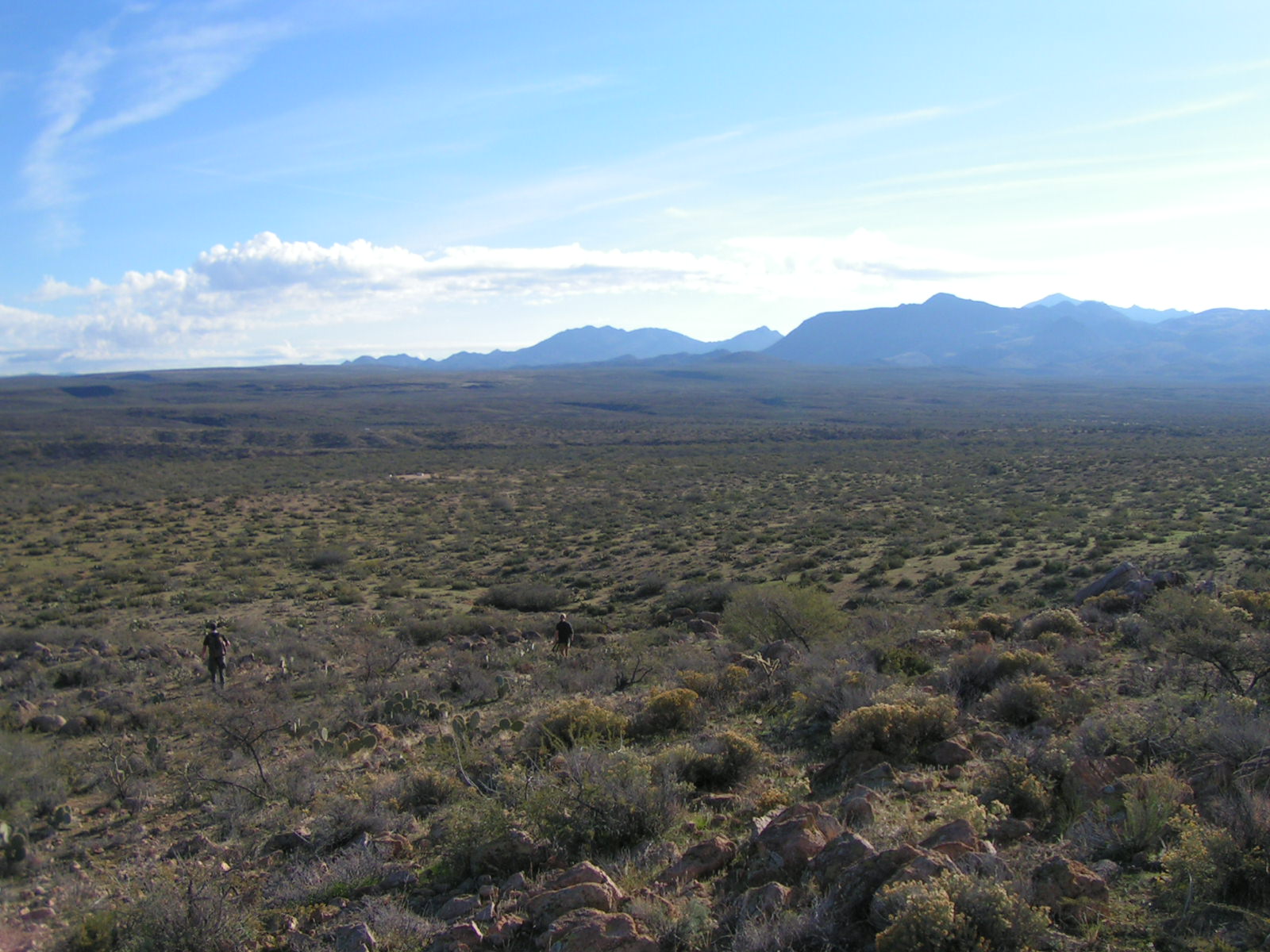
Congress Valley
Congress, AZ
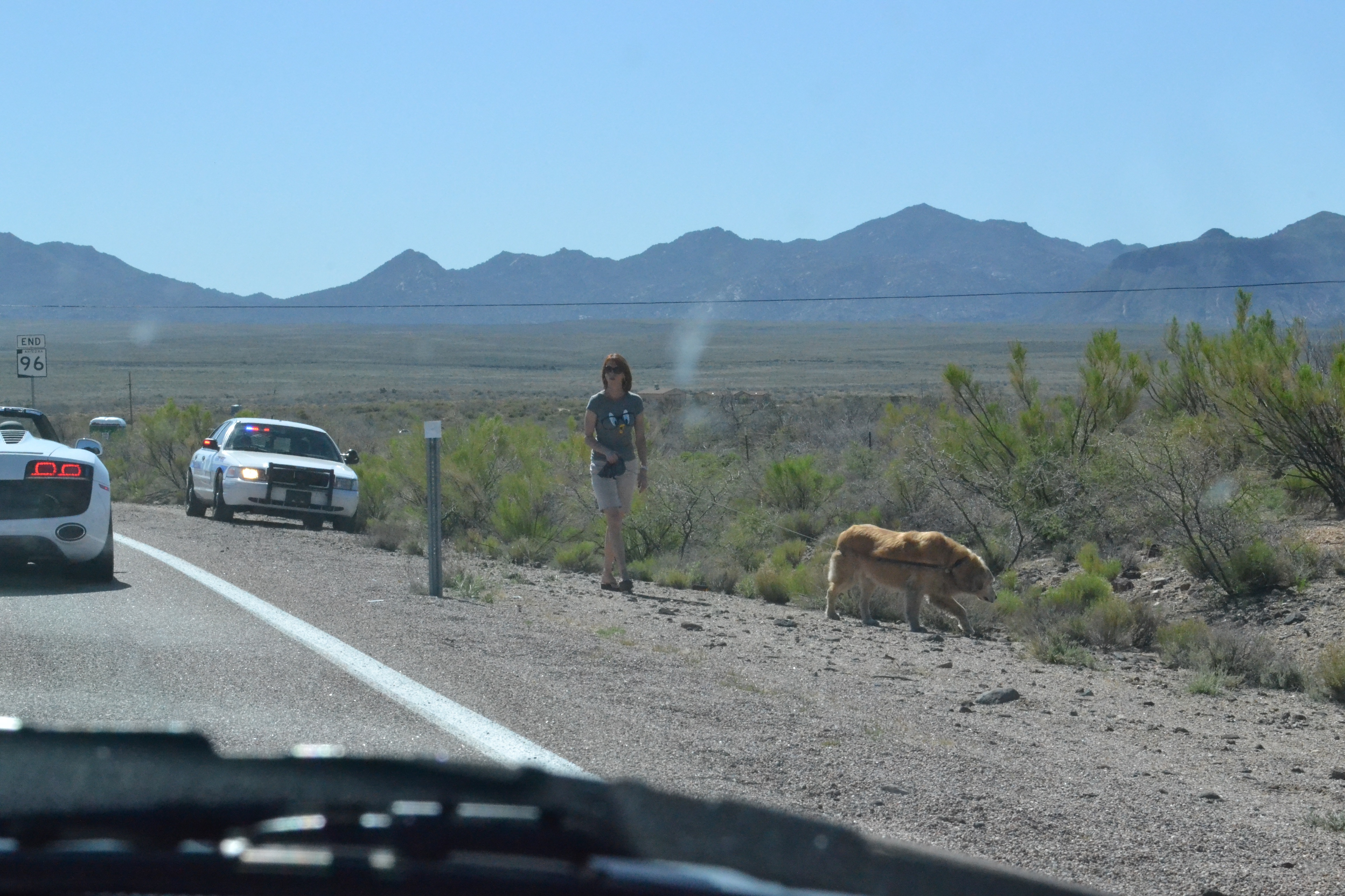
Walking' the dog
Train in Skull Valley
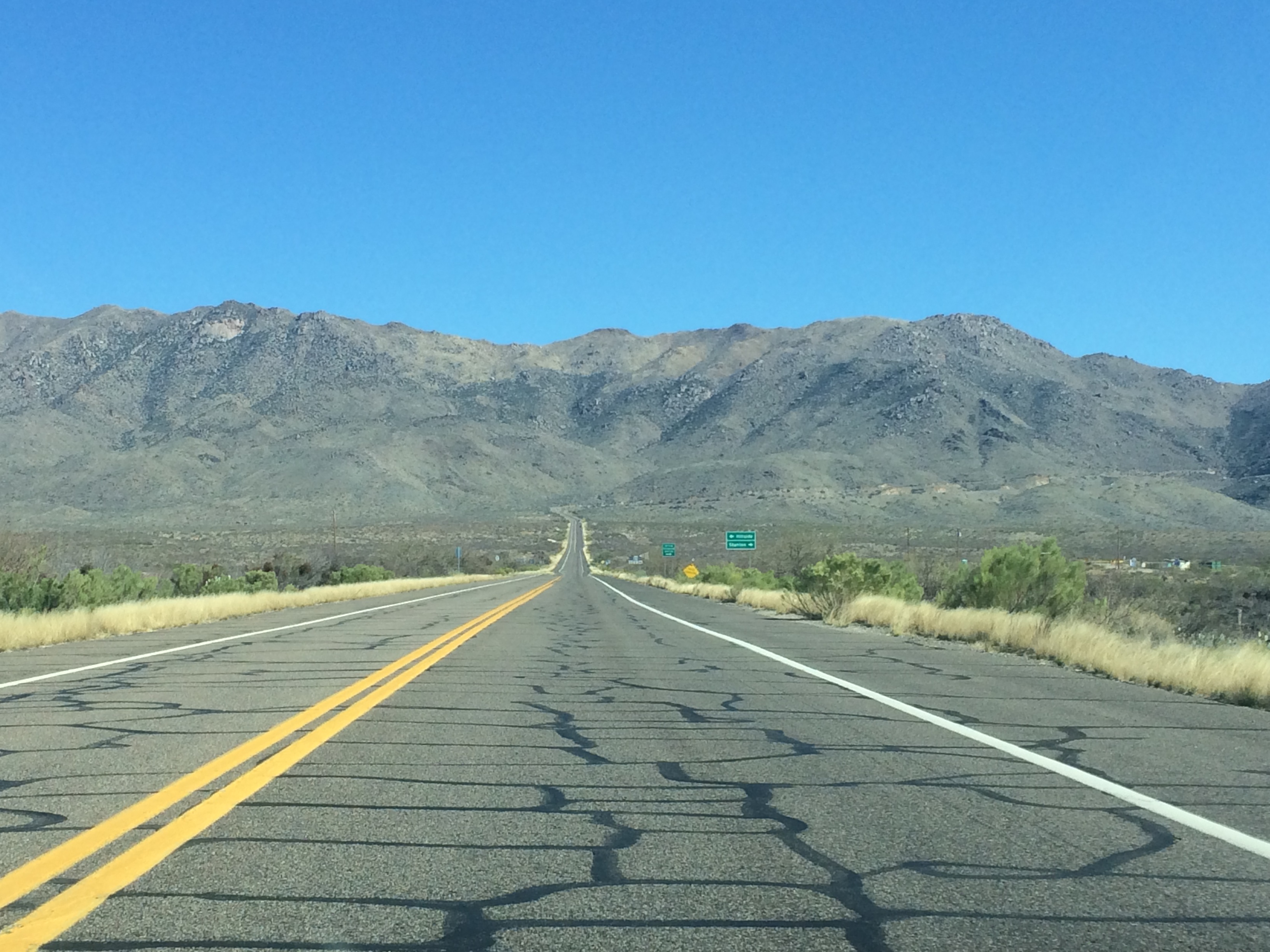
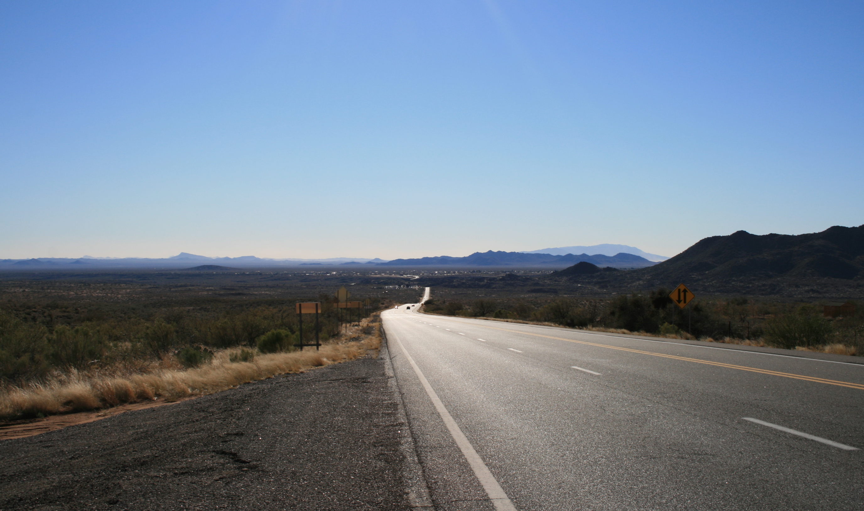
Looking East
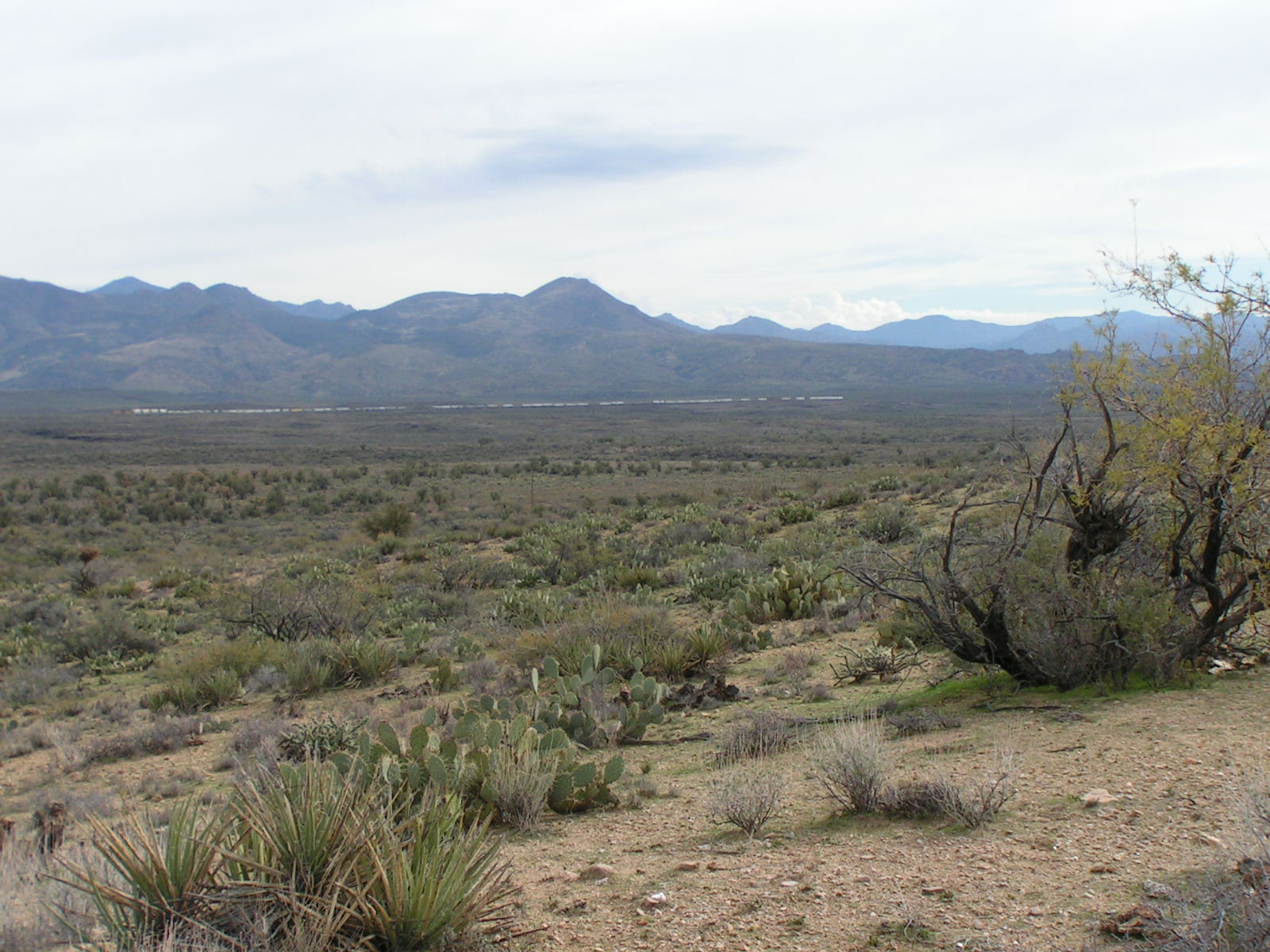
Rolling Off The Hill
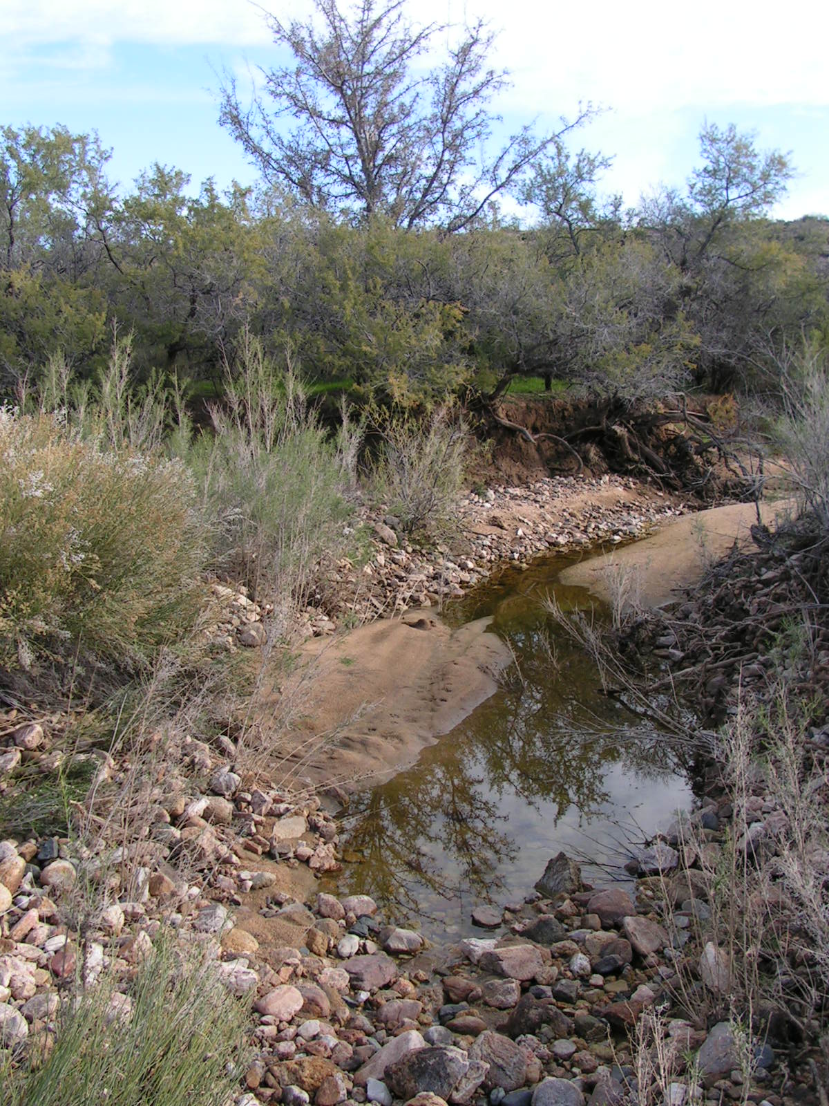
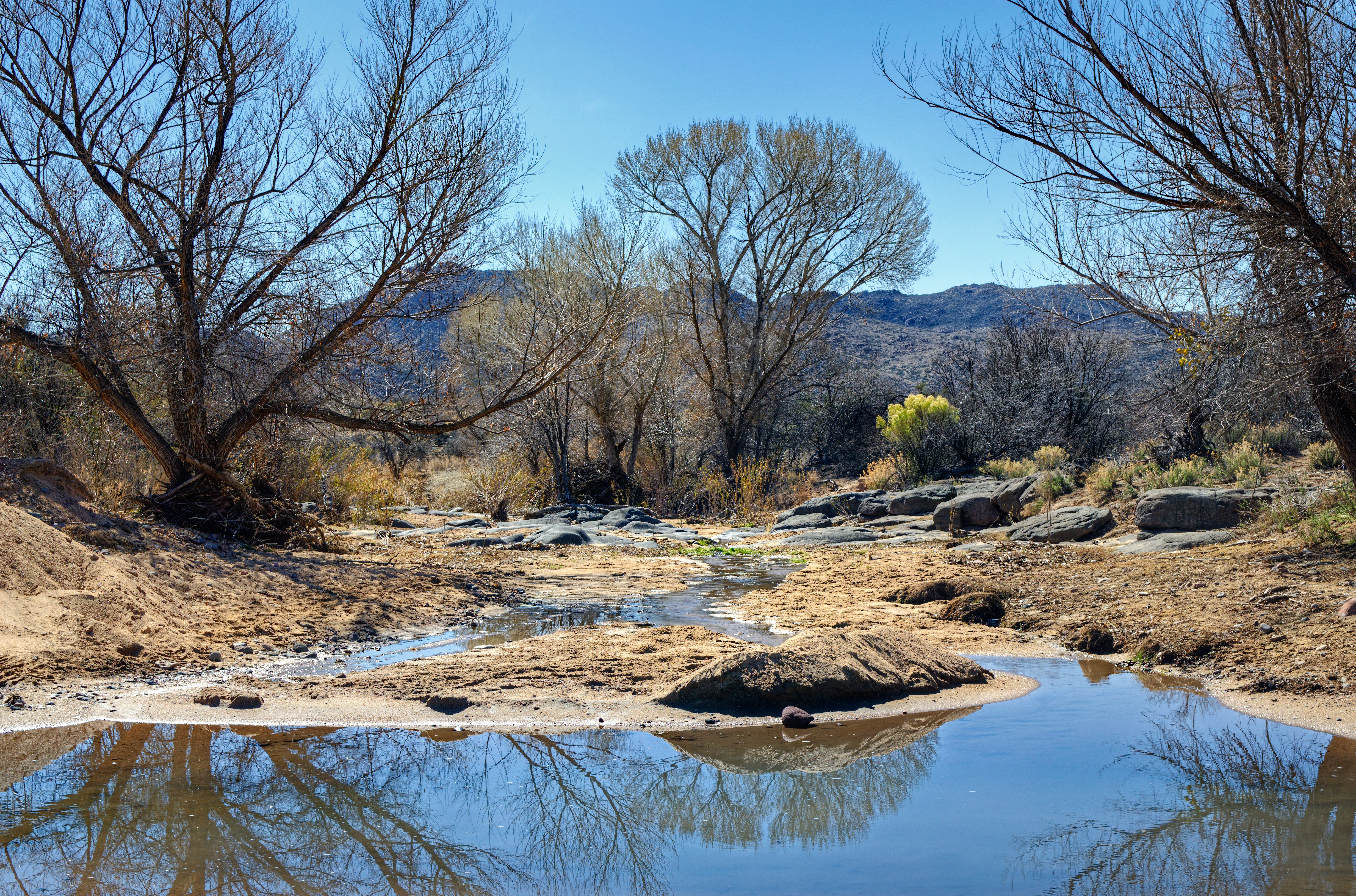
Rare water filled wash
Topographic Map of Date Creek Rd, Congress, AZ, USA
Find elevation by address:

Places near Date Creek Rd, Congress, AZ, USA:
Date Creek Rd, Congress, AZ, USA
Hillside Rd, Bagdad, AZ, USA
Ranch Road
17542 Pinon Ln
Yarnell, AZ, USA
Congress
AZ-71, Congress, AZ, USA
5 Mile Road
17502 Pinon Ln
22520 Hylton Way
Peeples Valley
27565 Clydesdale Ave
17792 Oak Dr
Model Creek Elementary School, Yarnell School District
Granite Mountain Hotshots Memorial State Park
17571 Foothill Dr
22830 Lakewood Dr
Mountainaire Dr, Yarnell, AZ, USA
350 Iron Horse Rd
350 Iron Horse Rd
Recent Searches:
- Elevation of Corso Fratelli Cairoli, 35, Macerata MC, Italy
- Elevation of Tallevast Rd, Sarasota, FL, USA
- Elevation of 4th St E, Sonoma, CA, USA
- Elevation of Black Hollow Rd, Pennsdale, PA, USA
- Elevation of Oakland Ave, Williamsport, PA, USA
- Elevation of Pedrógão Grande, Portugal
- Elevation of Klee Dr, Martinsburg, WV, USA
- Elevation of Via Roma, Pieranica CR, Italy
- Elevation of Tavkvetili Mountain, Georgia
- Elevation of Hartfords Bluff Cir, Mt Pleasant, SC, USA