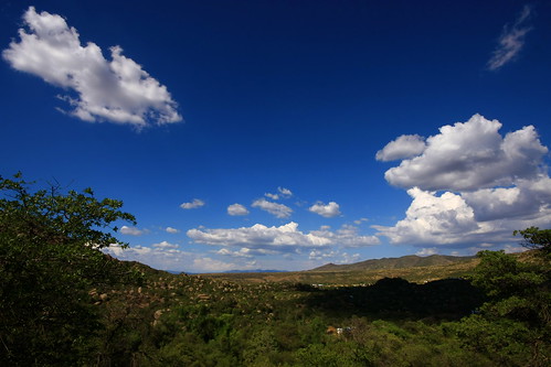
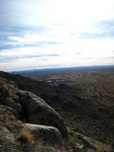
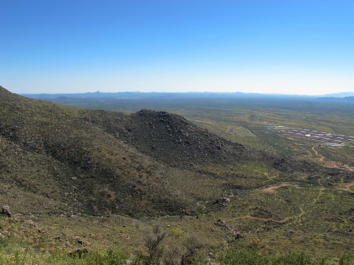
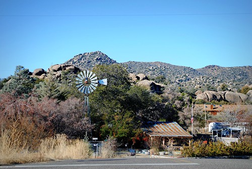
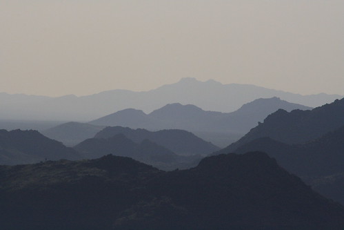
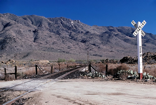
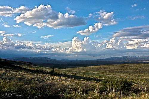
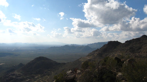
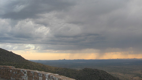
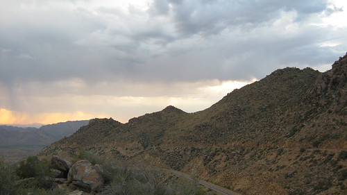
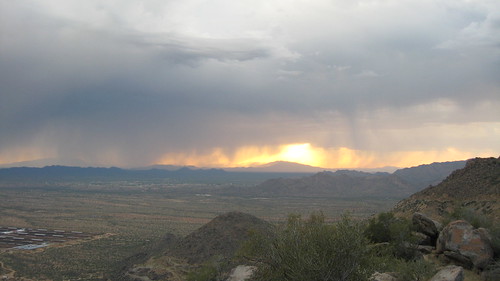
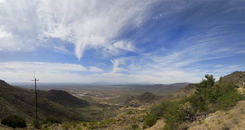
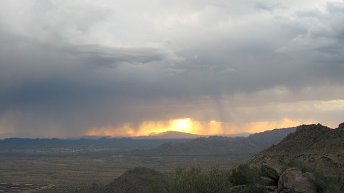
Elevation of Oak Dr, Peeples Valley, AZ, USA
Location: United States > Arizona > Yavapai County > Peeples Valley >
Longitude: -112.75224
Latitude: 34.288764
Elevation: 1418m / 4652feet
Barometric Pressure: 85KPa
Related Photos:
Topographic Map of Oak Dr, Peeples Valley, AZ, USA
Find elevation by address:

Places near Oak Dr, Peeples Valley, AZ, USA:
17502 Pinon Ln
Peeples Valley
17542 Pinon Ln
Model Creek Elementary School, Yarnell School District
Sunshine Ln, Kirkland, AZ, USA
22512 Az-89
Looka Way, Yarnell, AZ, USA
Yarnell
22830 Lakewood Dr
Mountainaire Dr, Yarnell, AZ, USA
17571 Foothill Dr
Yarnell, AZ, USA
23391 Az-89
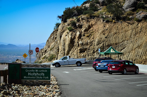
Granite Mountain Hotshots Memorial State Park
24555 S Placer Gold Ln
26405 Buzzard Rd
Stanton Rd, Congress, AZ, USA
Kirkland
Ranch Road
Date Creek Rd, Congress, AZ, USA
Recent Searches:
- Elevation of Corso Fratelli Cairoli, 35, Macerata MC, Italy
- Elevation of Tallevast Rd, Sarasota, FL, USA
- Elevation of 4th St E, Sonoma, CA, USA
- Elevation of Black Hollow Rd, Pennsdale, PA, USA
- Elevation of Oakland Ave, Williamsport, PA, USA
- Elevation of Pedrógão Grande, Portugal
- Elevation of Klee Dr, Martinsburg, WV, USA
- Elevation of Via Roma, Pieranica CR, Italy
- Elevation of Tavkvetili Mountain, Georgia
- Elevation of Hartfords Bluff Cir, Mt Pleasant, SC, USA

