Elevation of Mountainaire Dr, Yarnell, AZ, USA
Location: United States > Arizona > Yavapai County > Yarnell >
Longitude: -112.75845
Latitude: 34.2150899
Elevation: 1474m / 4836feet
Barometric Pressure: 85KPa
Elevation Map:
Satellite Map:
Related Photos:
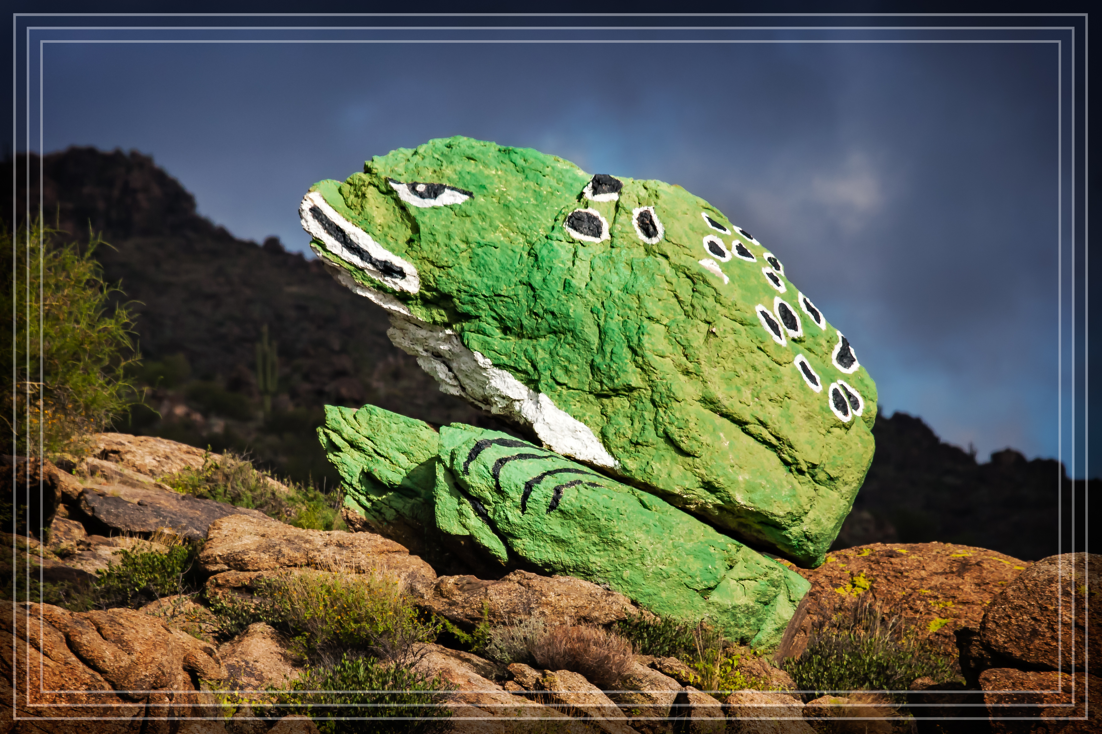
Frog Rock

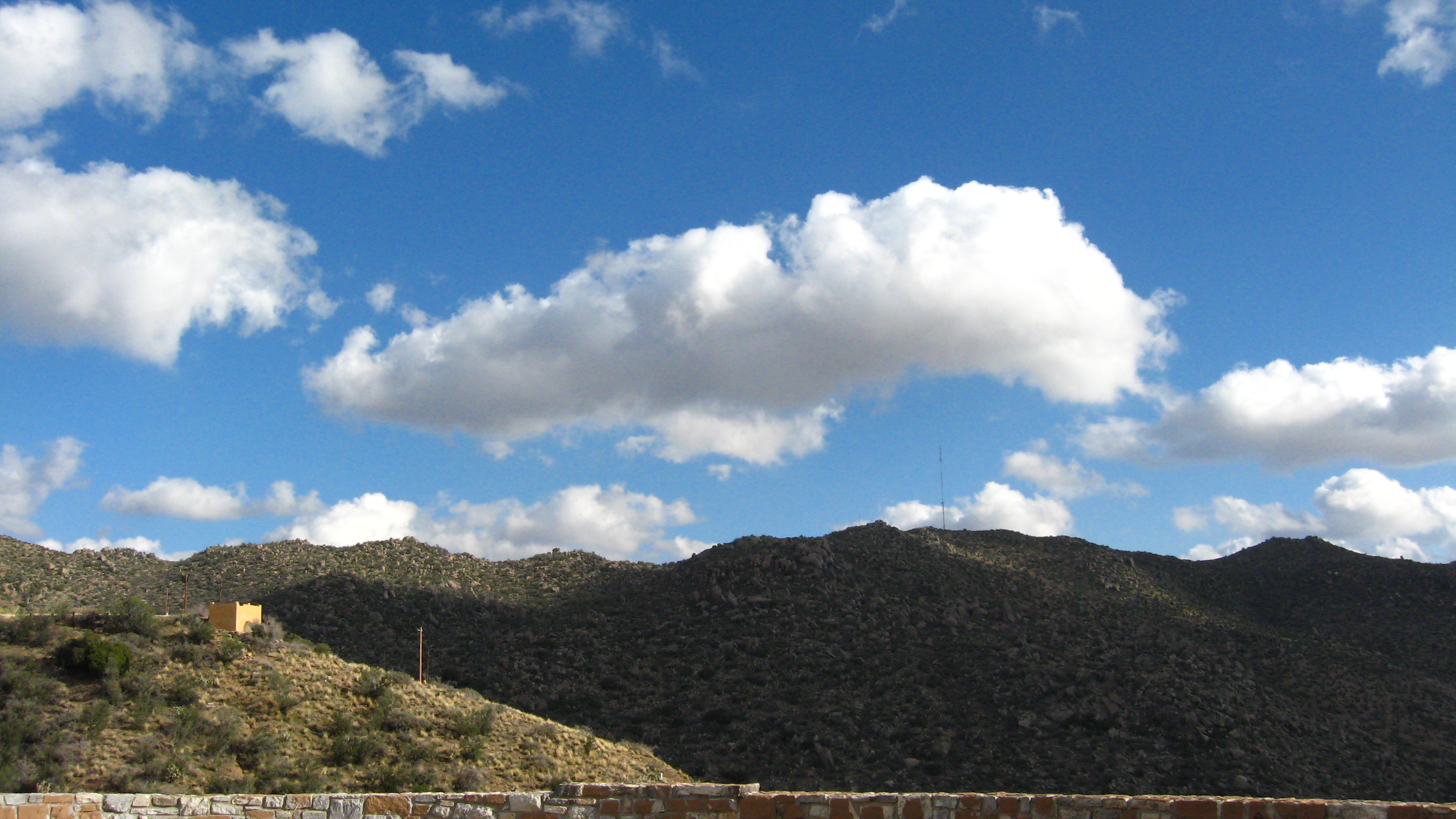
Desert Sky
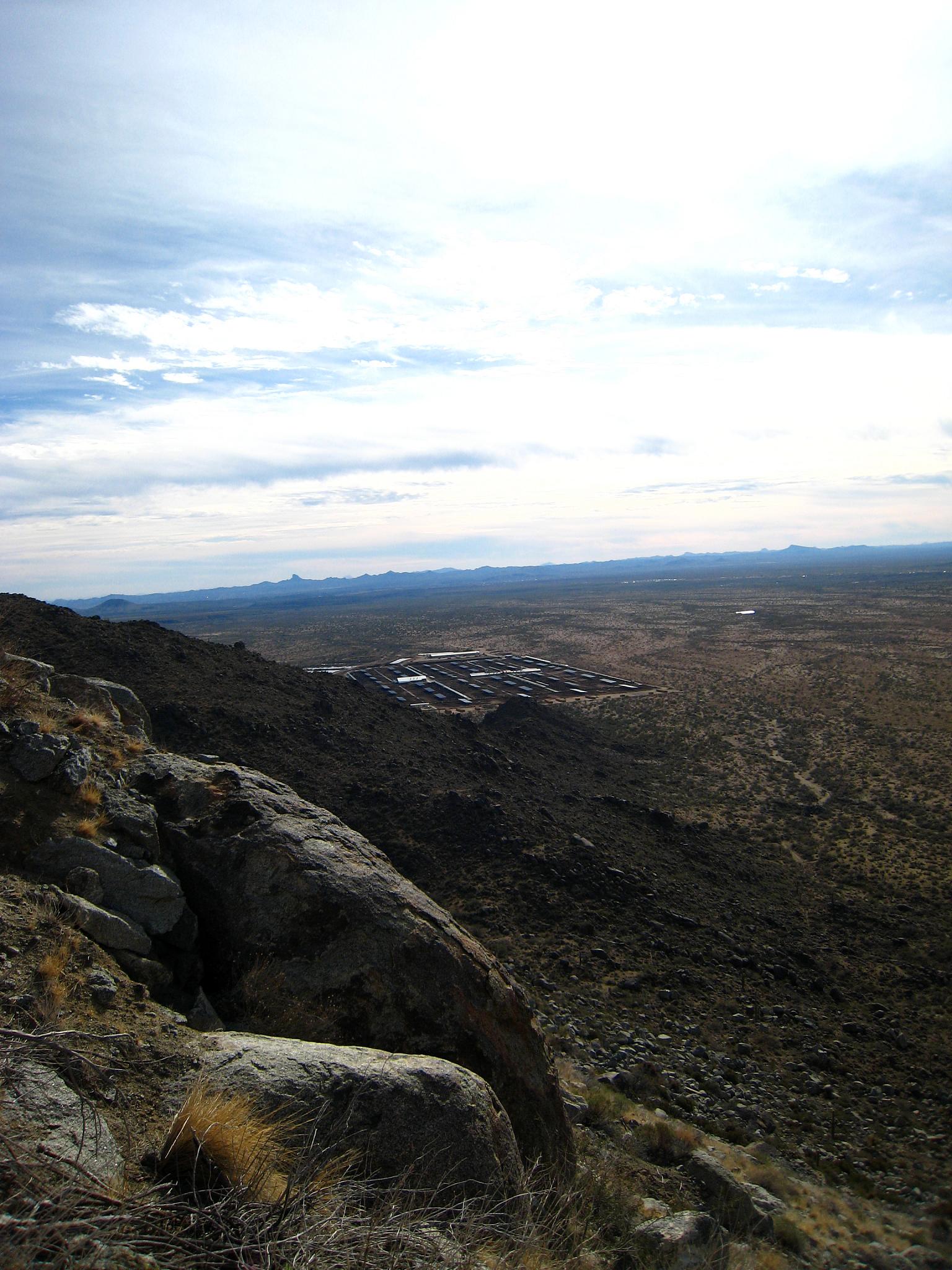
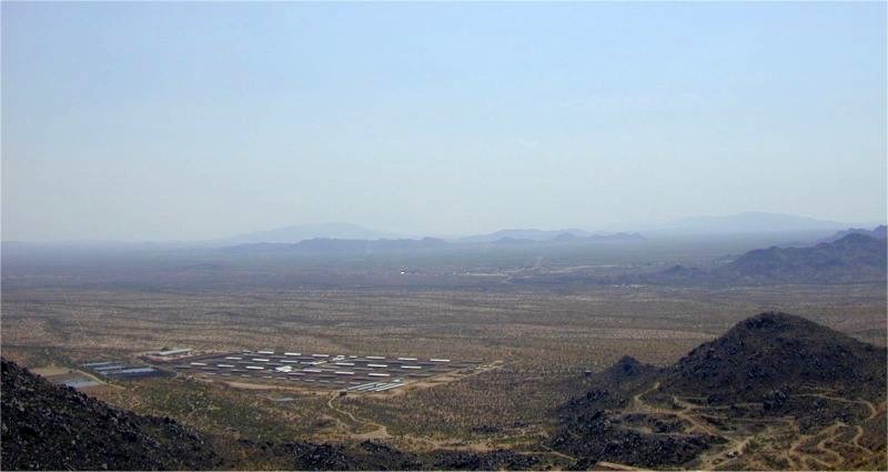
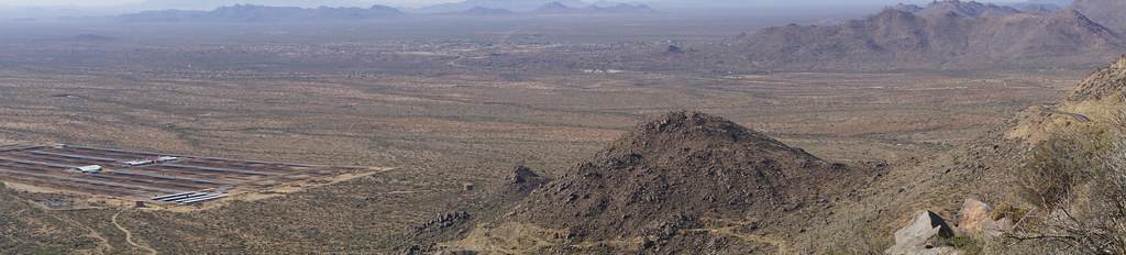
Solar Plant from afar
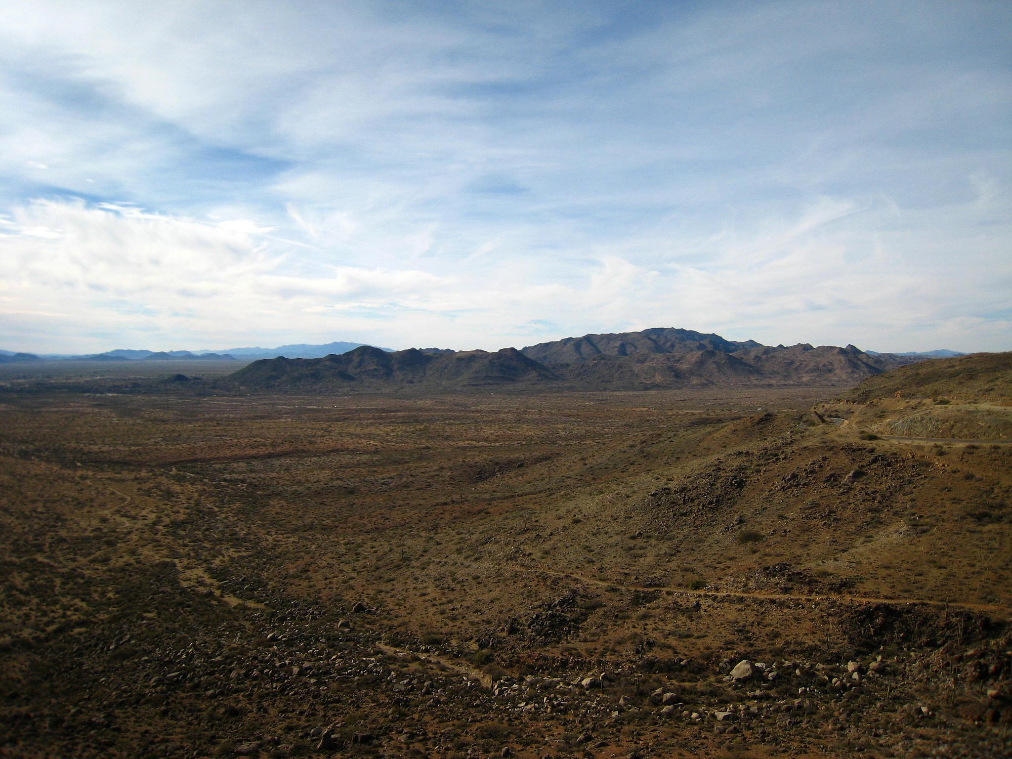
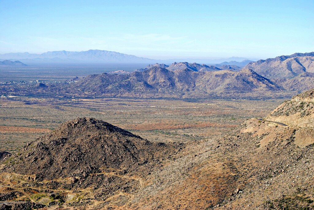
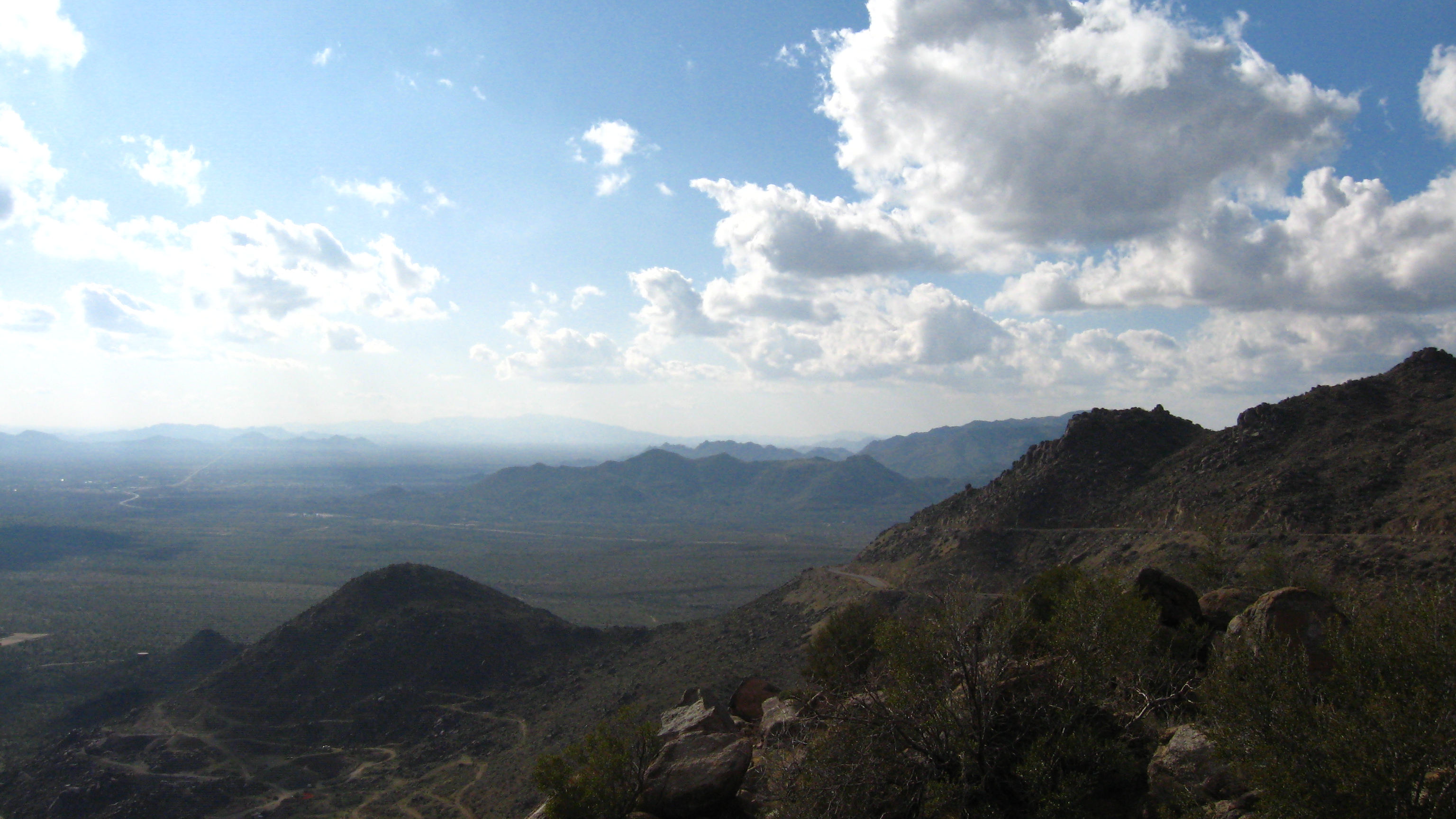
View from the mountain
Atop Yarnell Hill

43. Looking south from White Spar Highway with Fools Gulch and the former Parker Dairy near Congress in view
Out Wickenburg Way
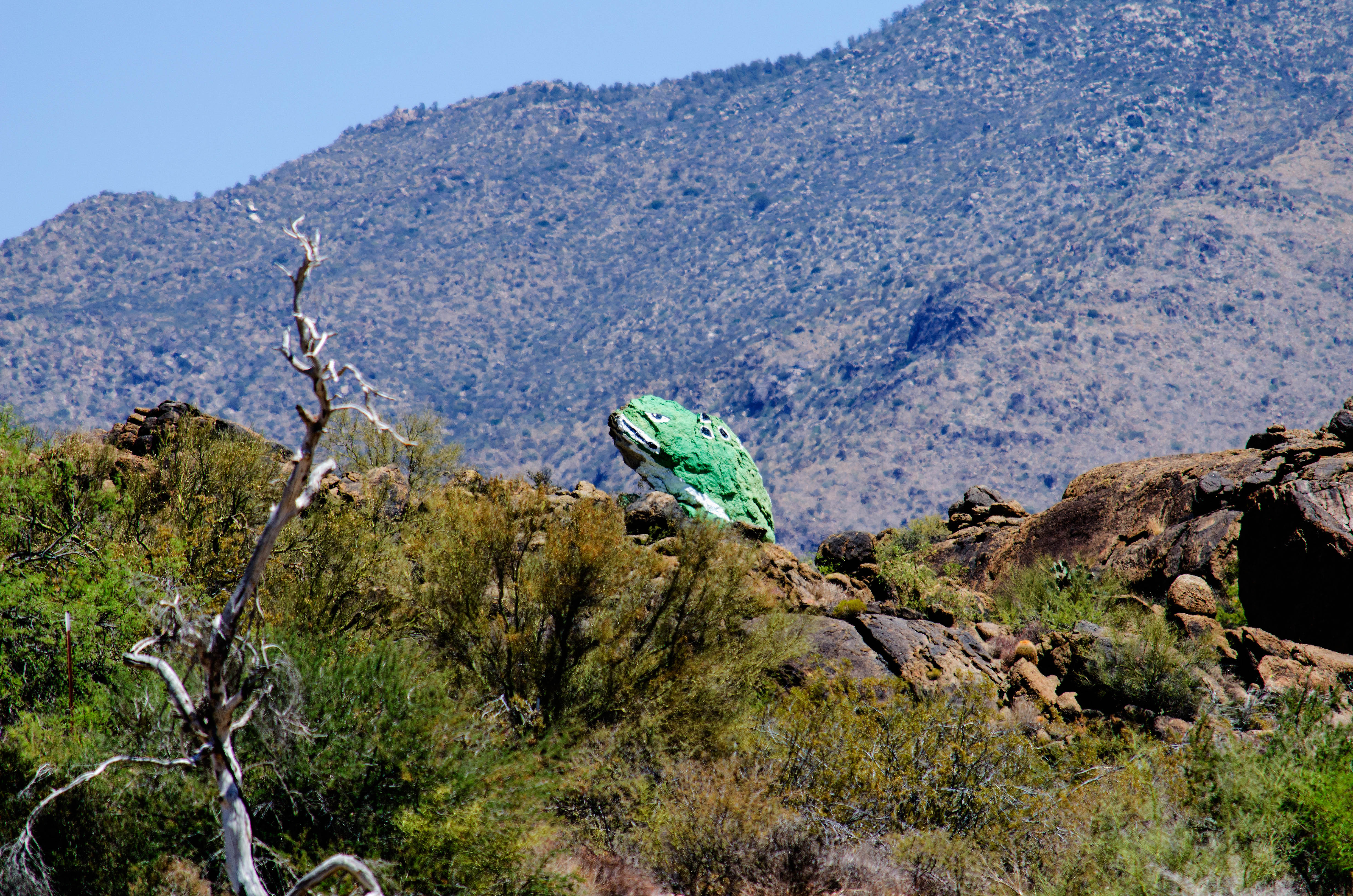
Congress AZ Frog
Jerome and the ride to...Arizona
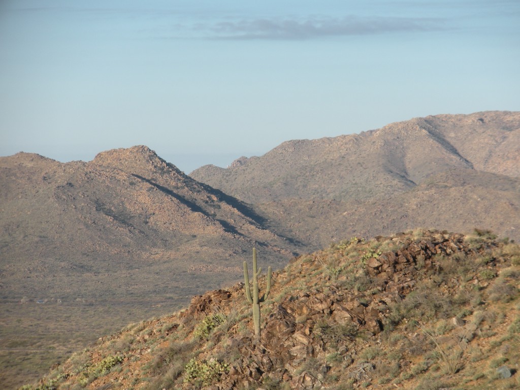
Saguaro Cactus
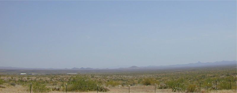
Congress Valley
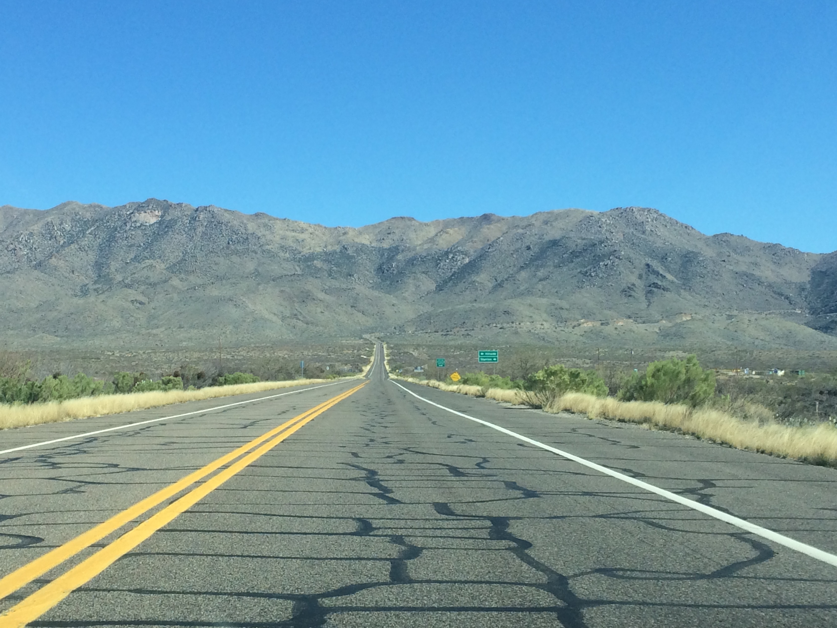
Route 89 between Prescott & Wickenburg Arizona
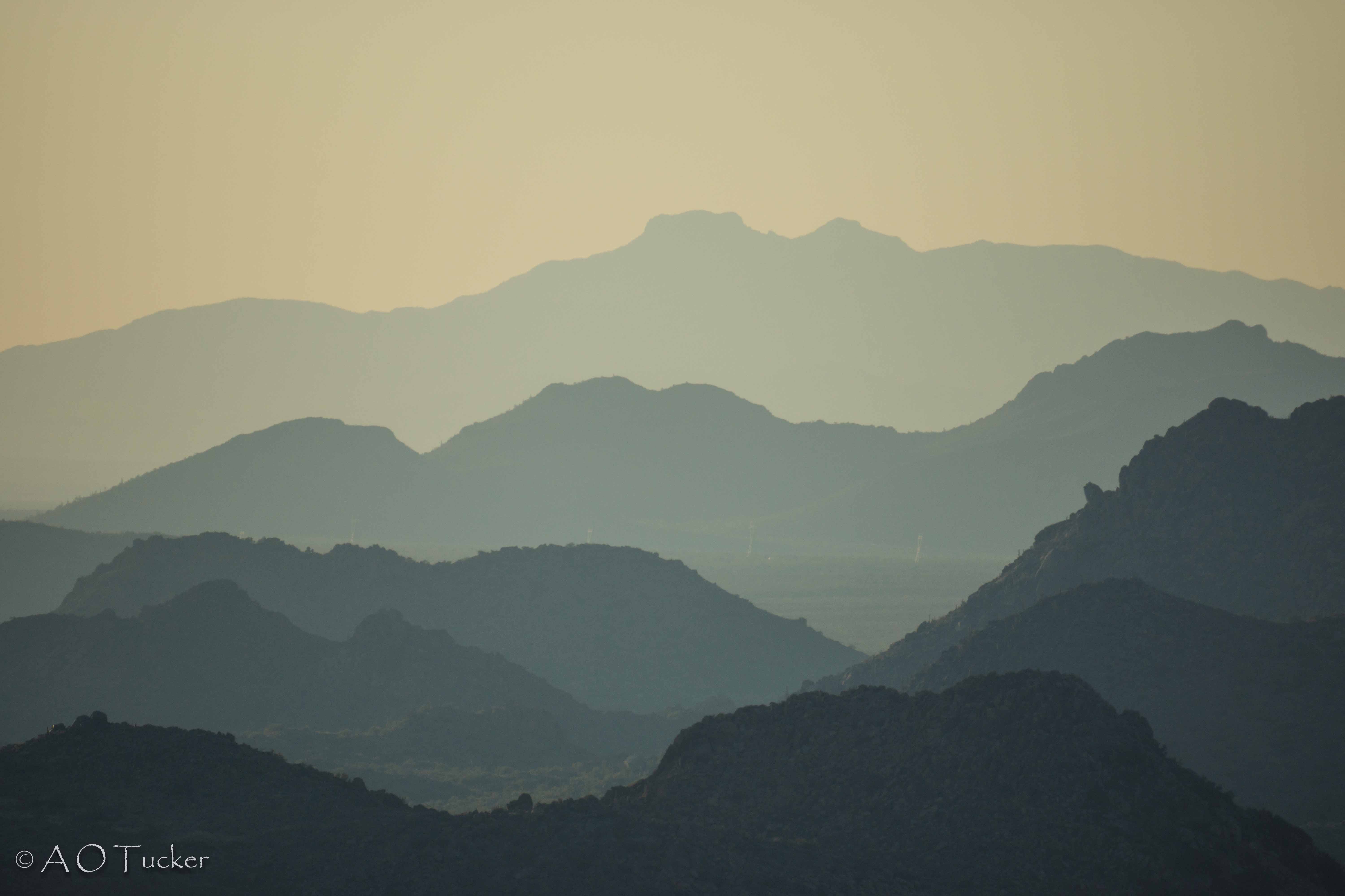
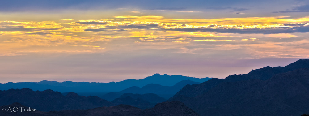
Date Creek Mountain Layers 1
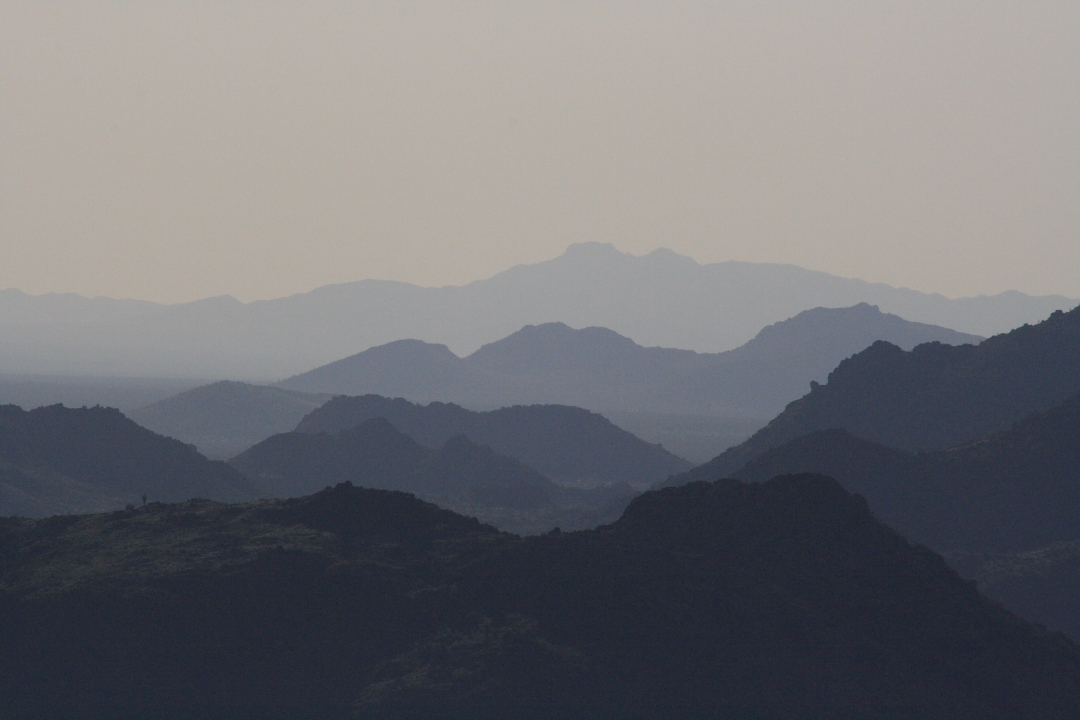
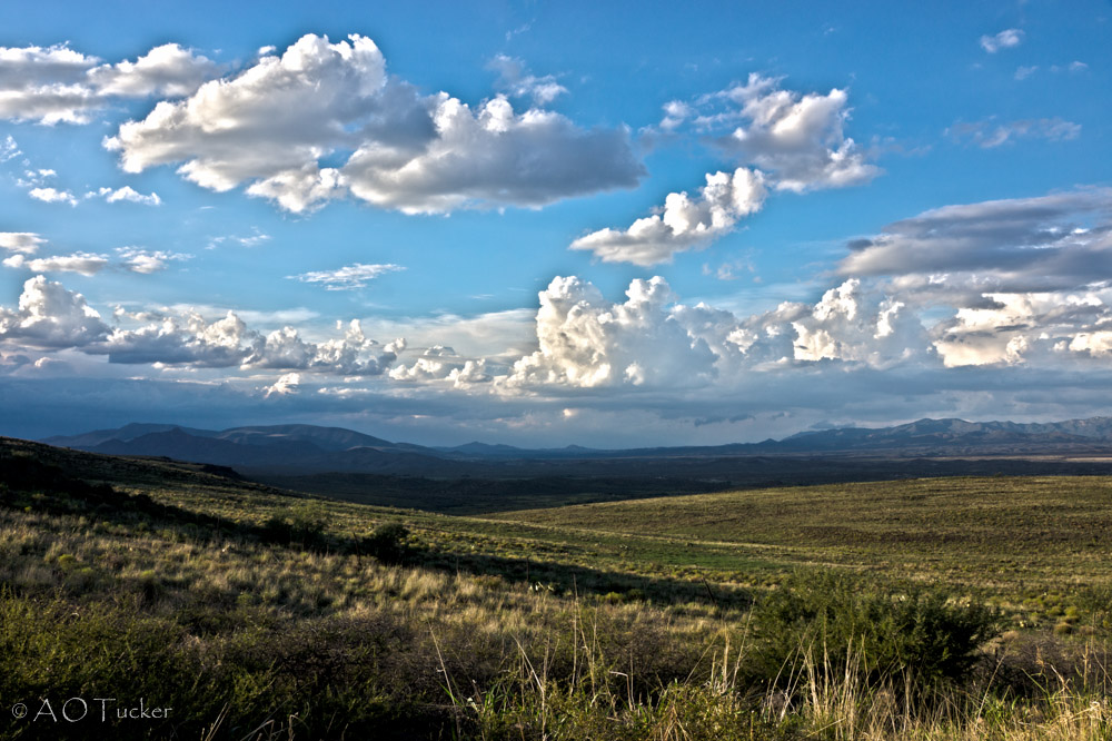
The Subtle Shades of Nature
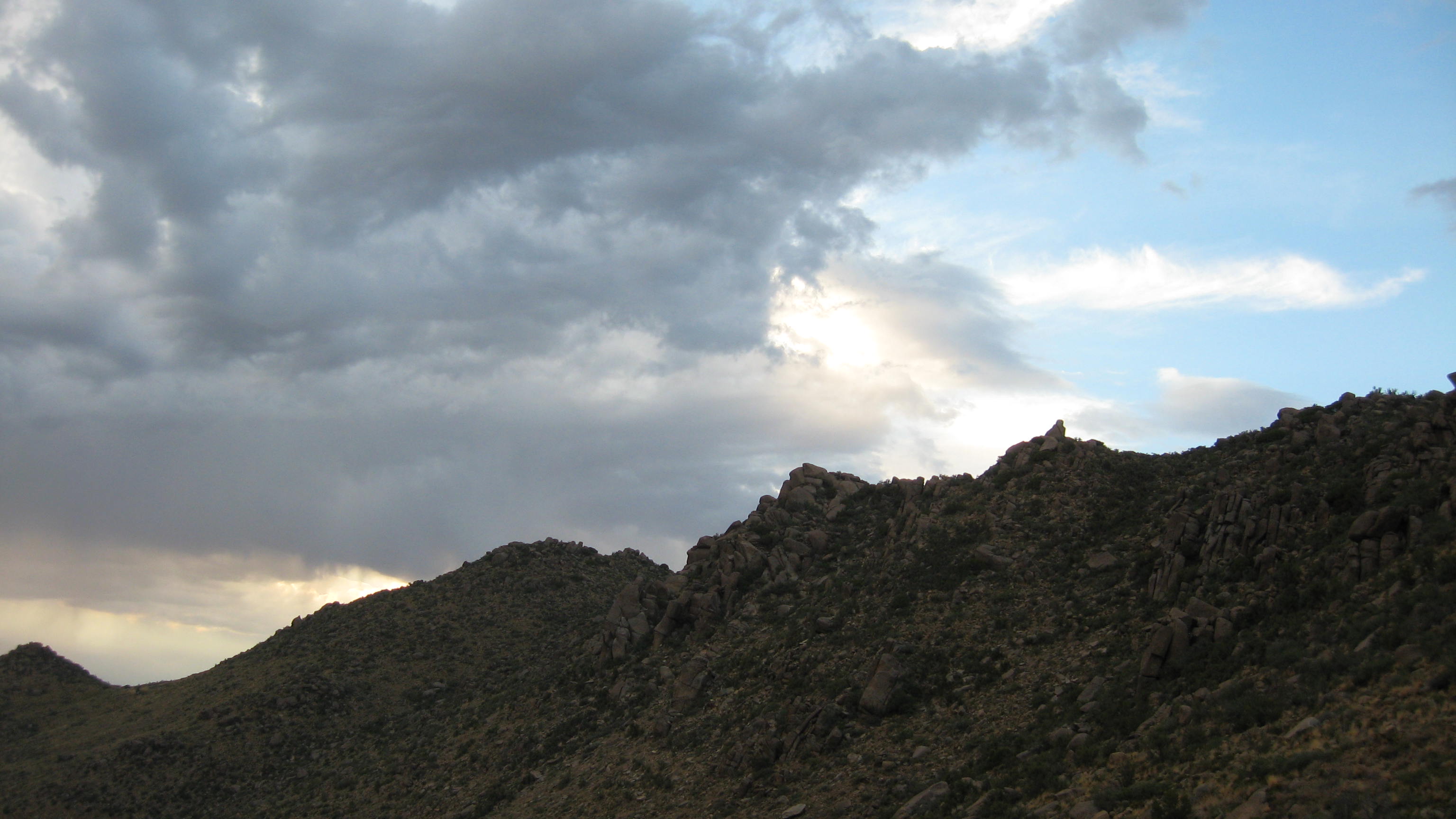
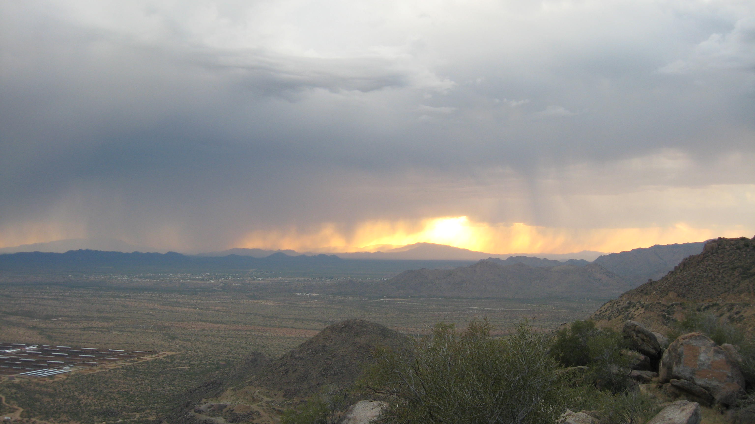
Storm at Sunset
Sunsetting On Yarnell Hill
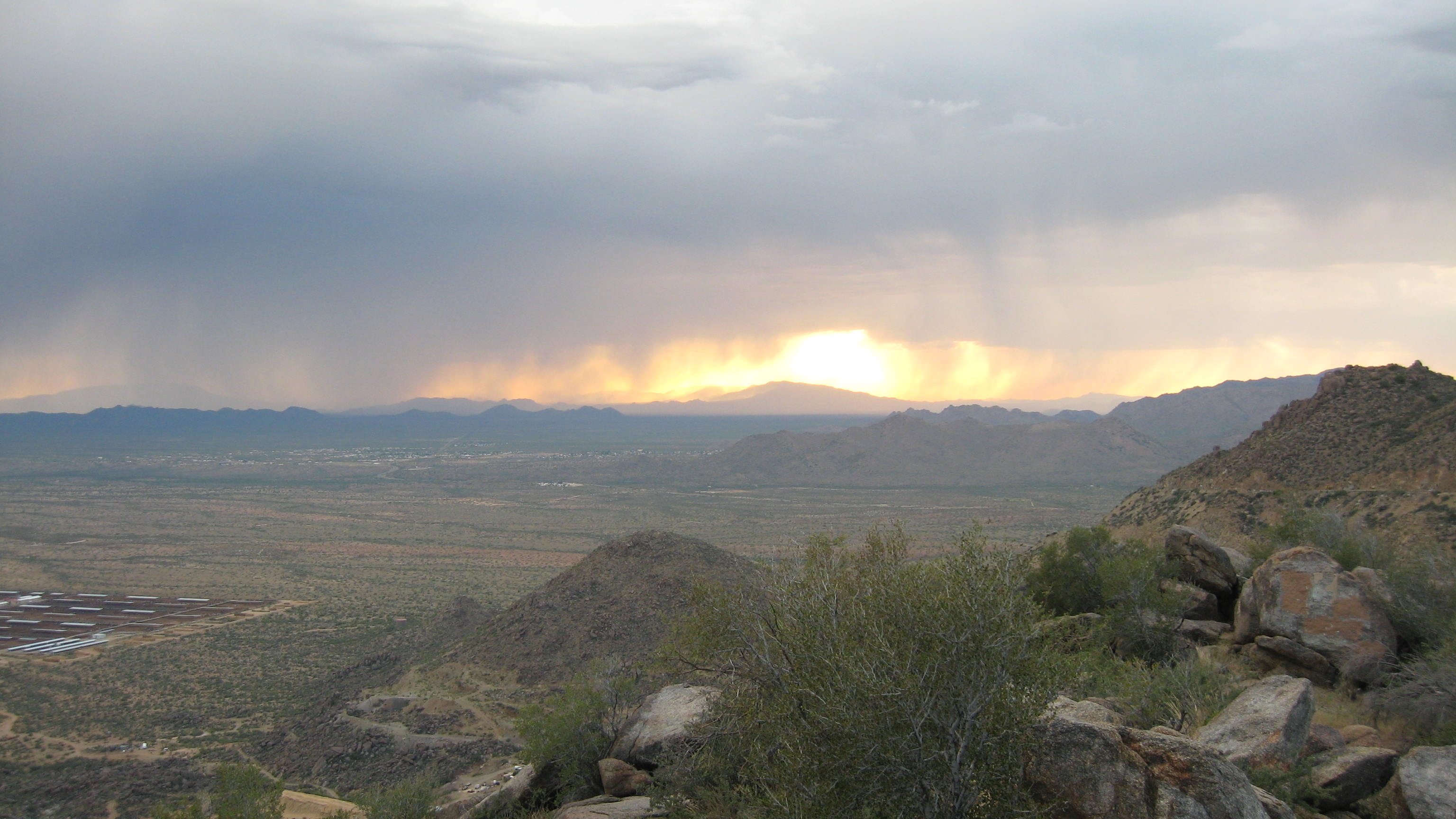
Storm at Sunset
AZ Highway 89 Overlook between Yarnell and Congress
Peeples Valley Vista
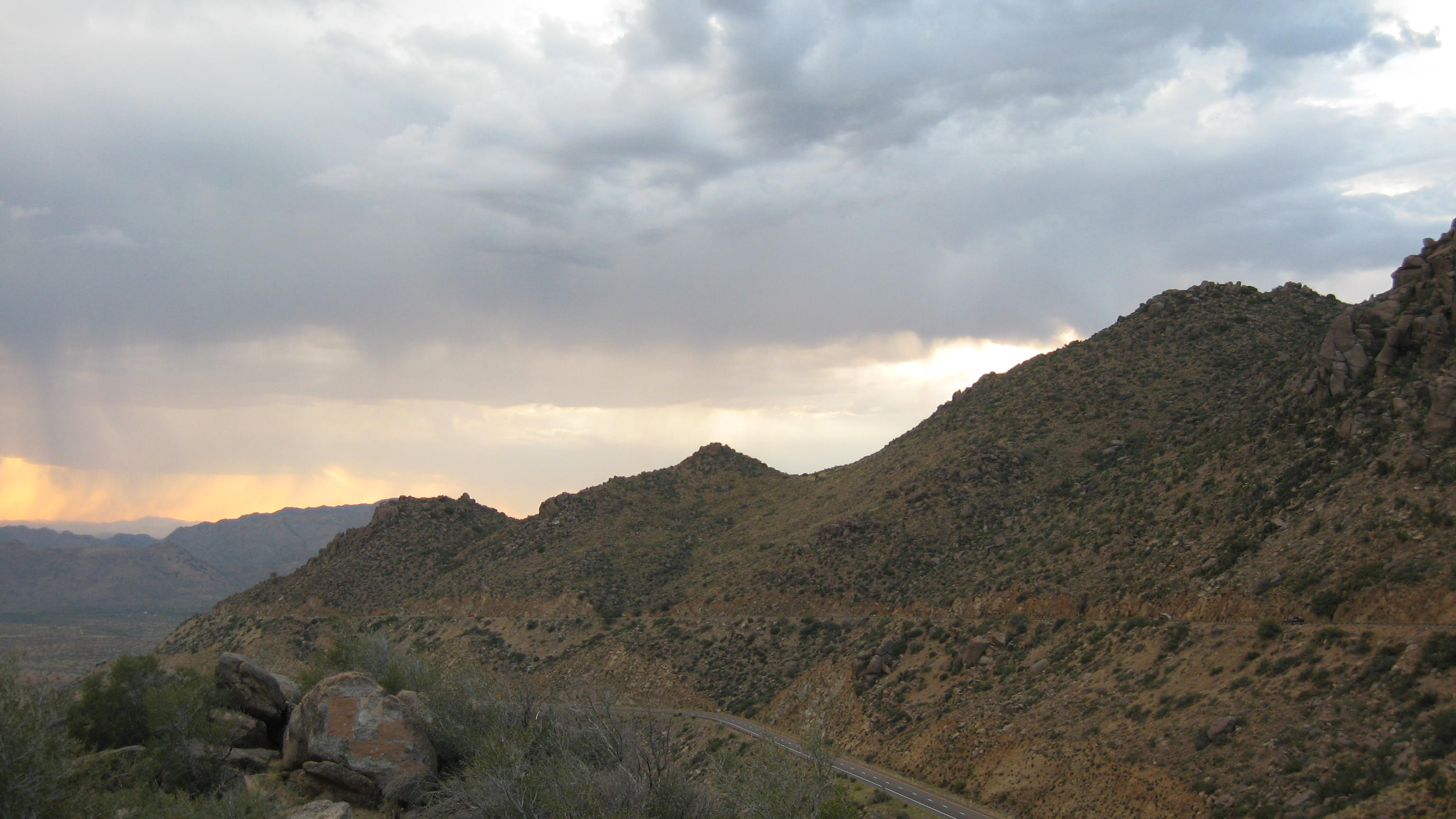
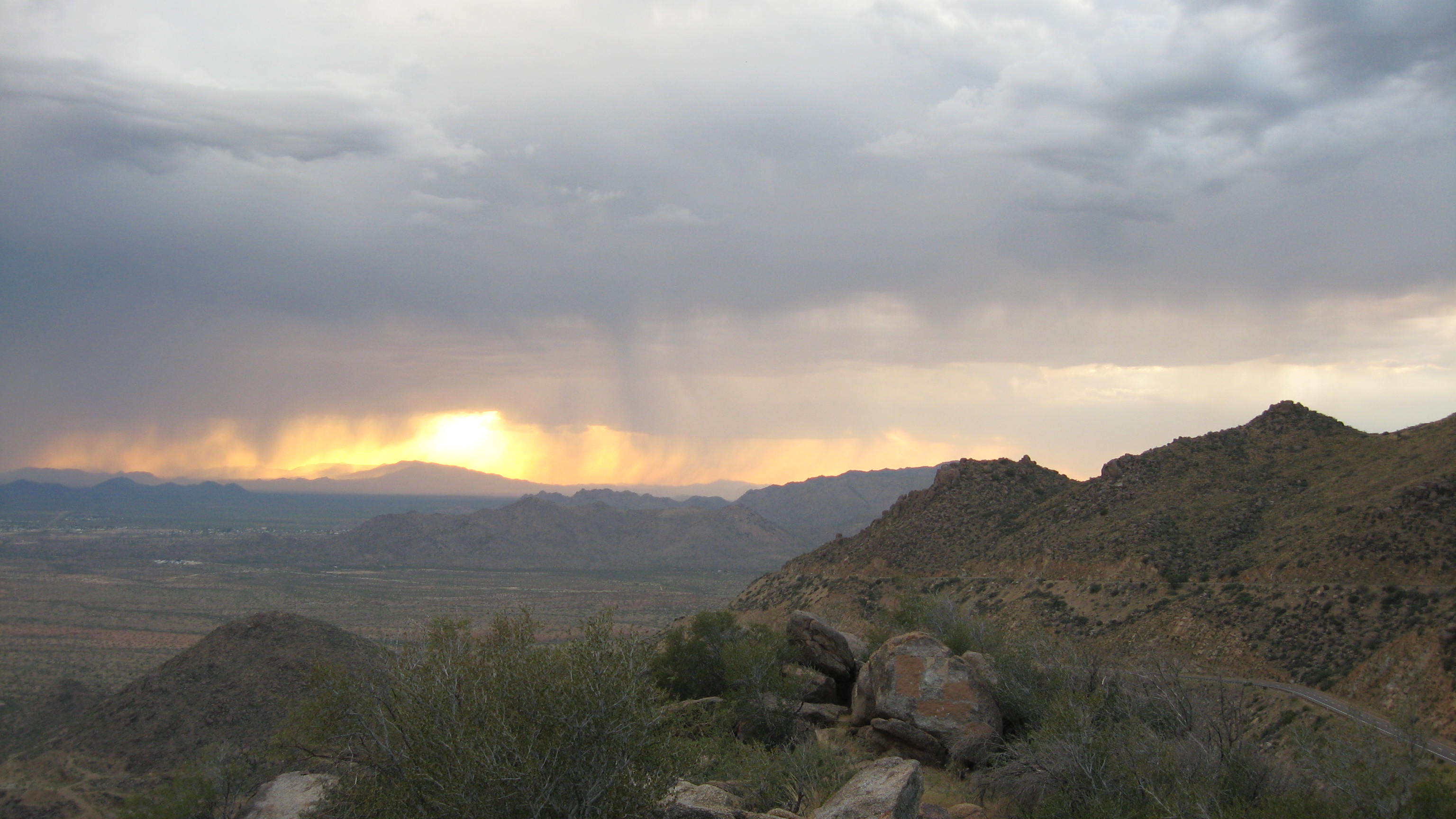
Storm at Sunset
AZ Highway 89 Overlook between Yarnell and Congress
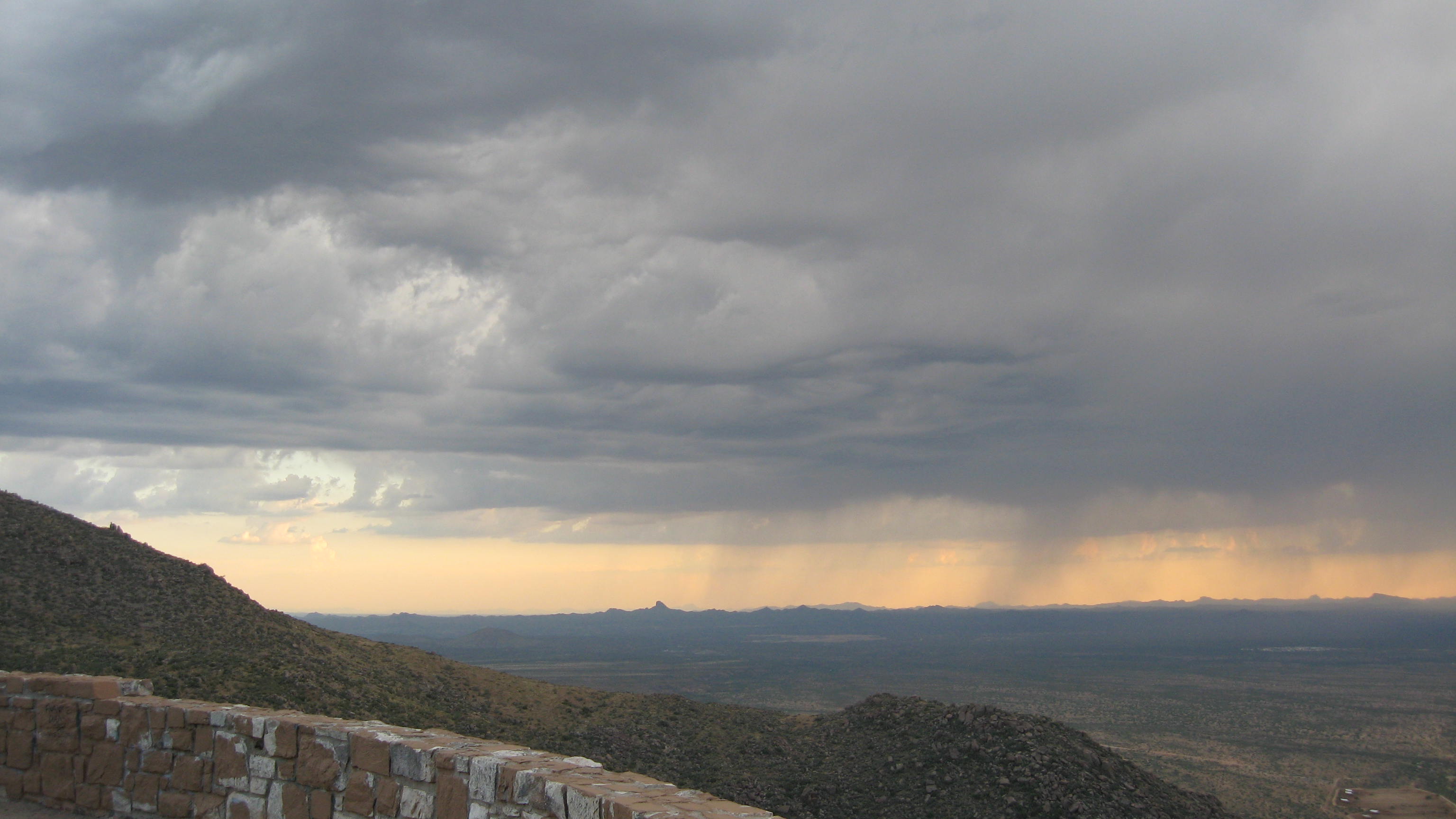
Storm at Sunset

Storm at Sunset
Storm at Sunset
Storm at Sunset
Topographic Map of Mountainaire Dr, Yarnell, AZ, USA
Find elevation by address:

Places near Mountainaire Dr, Yarnell, AZ, USA:
22830 Lakewood Dr
23391 Az-89
17571 Foothill Dr
Yarnell
Looka Way, Yarnell, AZ, USA
22512 Az-89
Granite Mountain Hotshots Memorial State Park
Yarnell, AZ, USA
24555 S Placer Gold Ln
26405 Buzzard Rd
Stanton Rd, Congress, AZ, USA
Model Creek Elementary School, Yarnell School District
Sunshine Ln, Kirkland, AZ, USA
Congress
AZ-71, Congress, AZ, USA
22520 Hylton Way
16655 Az-89
Escapees Way
S Wagoner Rd, Kirkland, AZ, USA
Recent Searches:
- Elevation of Corso Fratelli Cairoli, 35, Macerata MC, Italy
- Elevation of Tallevast Rd, Sarasota, FL, USA
- Elevation of 4th St E, Sonoma, CA, USA
- Elevation of Black Hollow Rd, Pennsdale, PA, USA
- Elevation of Oakland Ave, Williamsport, PA, USA
- Elevation of Pedrógão Grande, Portugal
- Elevation of Klee Dr, Martinsburg, WV, USA
- Elevation of Via Roma, Pieranica CR, Italy
- Elevation of Tavkvetili Mountain, Georgia
- Elevation of Hartfords Bluff Cir, Mt Pleasant, SC, USA