Elevation of S Wagoner Rd, Kirkland, AZ, USA
Location: United States > Arizona > Yavapai County > Kirkland >
Longitude: -112.53915
Latitude: 34.2745649
Elevation: 1101m / 3612feet
Barometric Pressure: 89KPa
Elevation Map:
Satellite Map:
Related Photos:

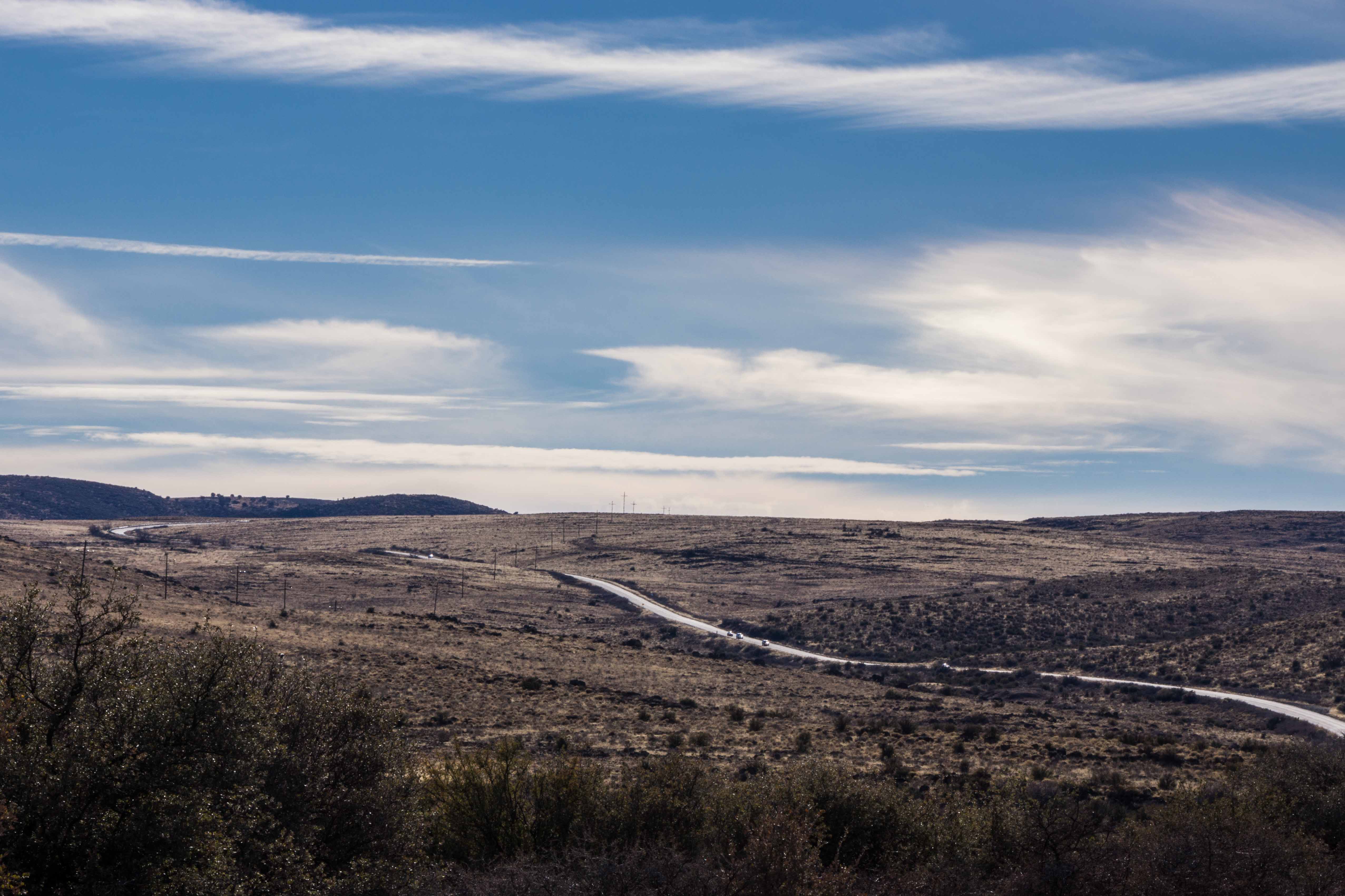
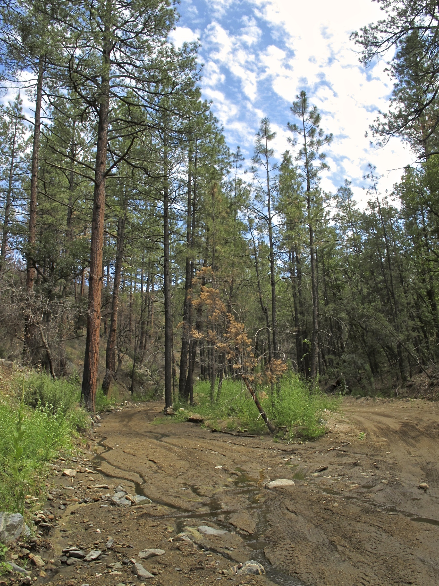
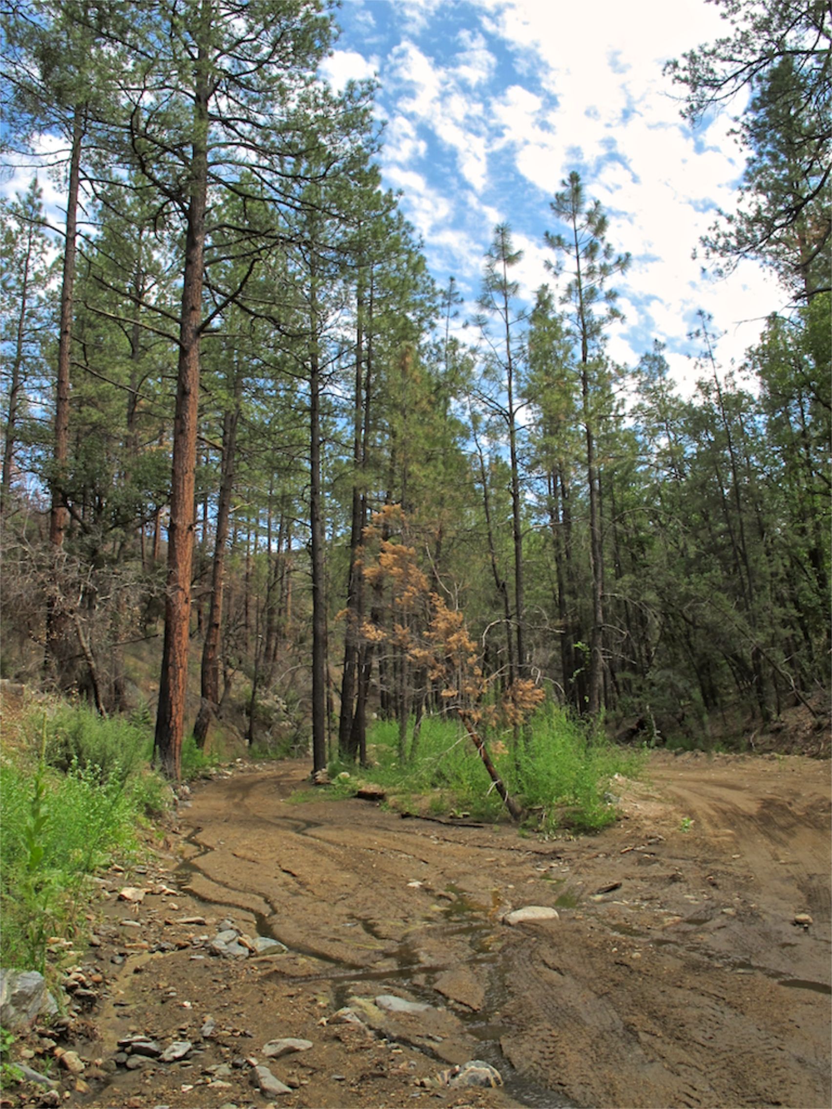
67. View of Battle Flat east of Senator Hwy.

67. View of Battle Flat east of Senator Hwy.
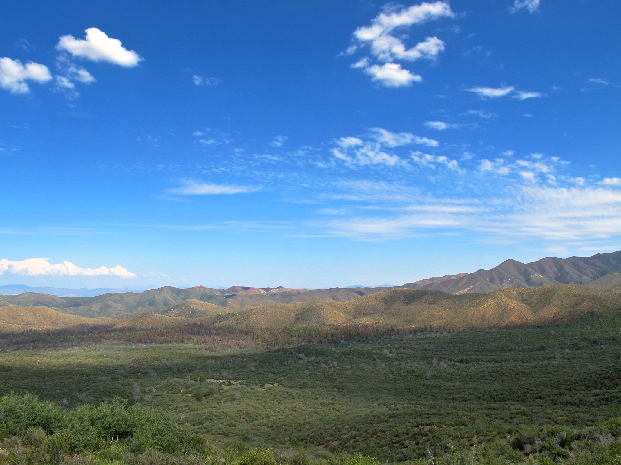
67. View of Battle Flat east of Senator Hwy.

66. View of Battle Flat - named after an 1864 skirmish

66. View of Battle Flat - named after an 1864 skirmish
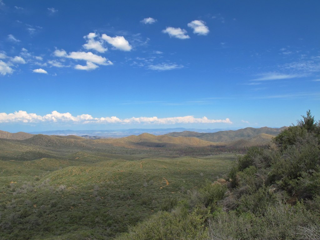
66. View of Battle Flat - named after an 1864 skirmish
66. View of Battle Flat - named after an 1864 skirmish

66. View of Battle Flat - named after an 1864 skirmish
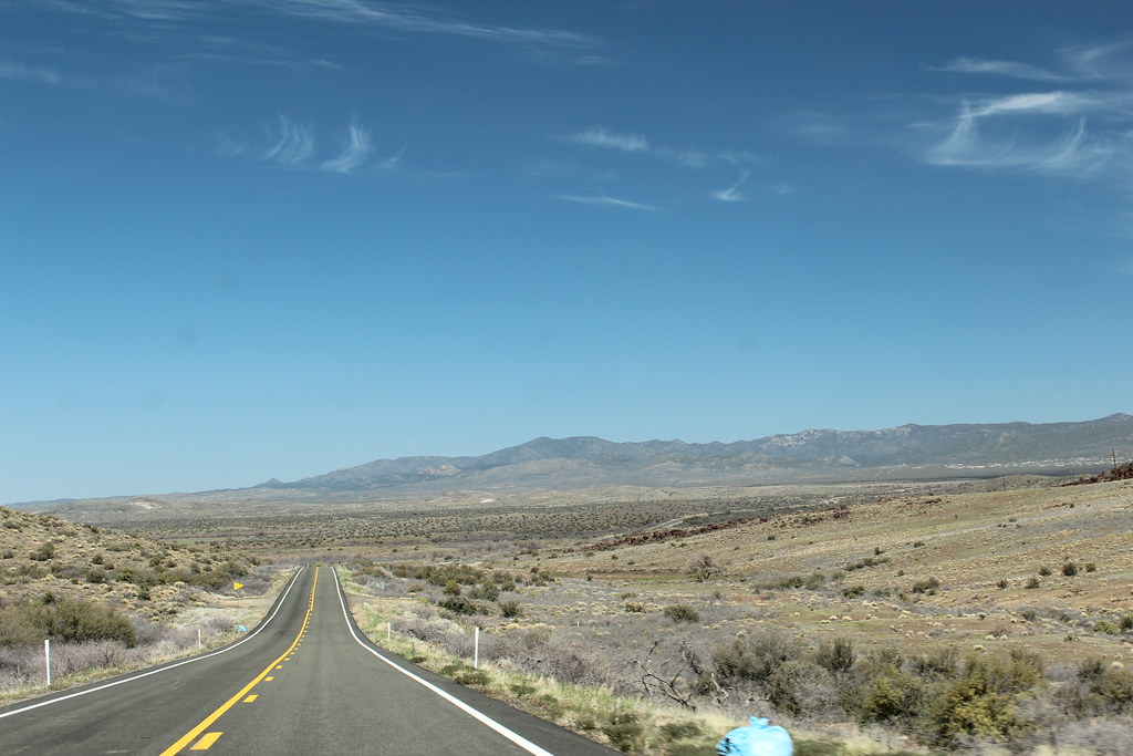
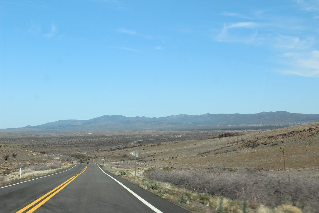
Peeples Valley Vista
Open Road Blue Skies
Canon-0564-USA-2012-04-09
West side spring
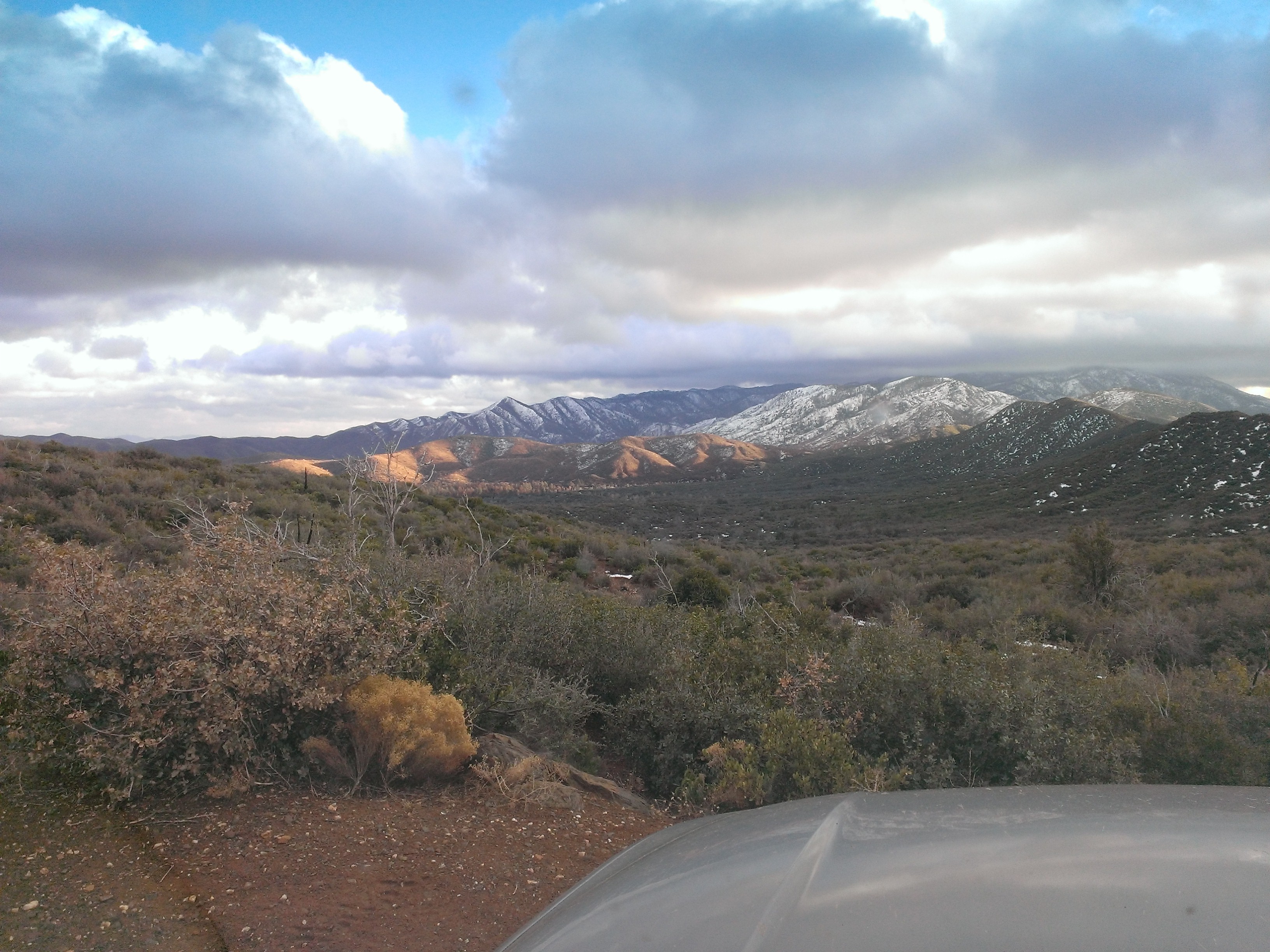
Bradshaw Mountain Range
Canon-0563-USA-2012-04-09
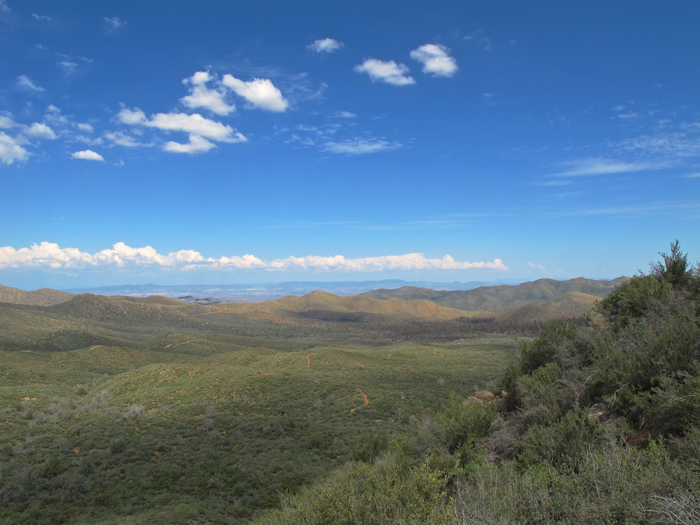
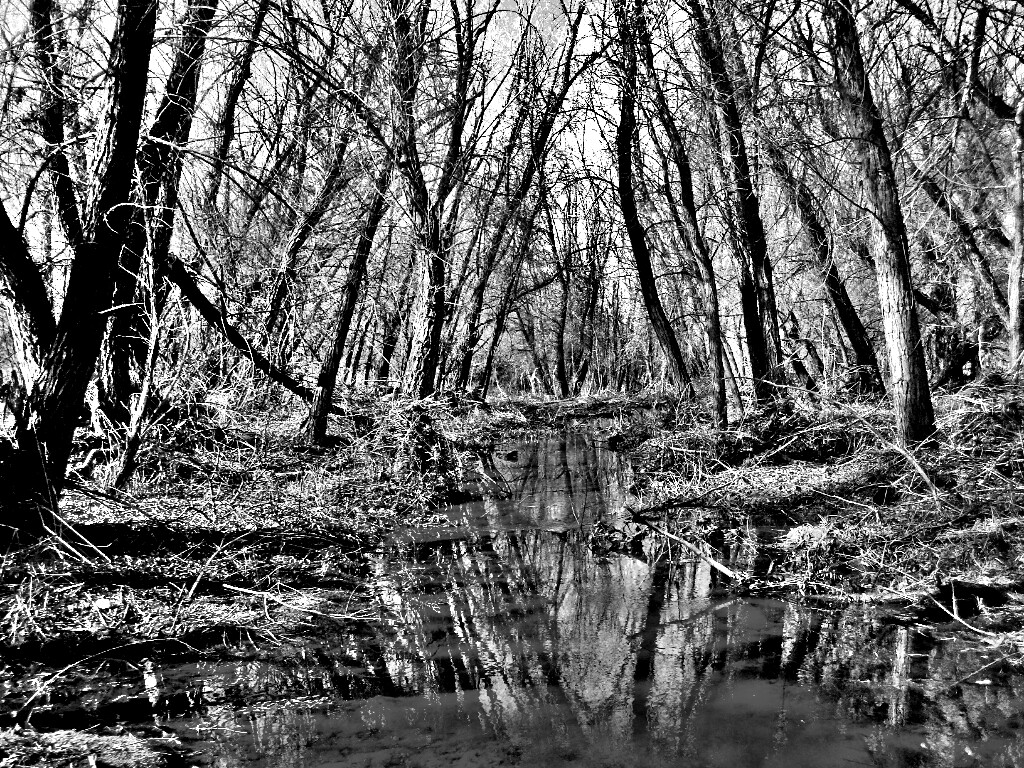
65. Crossing Pine Creek along the Senator Hwy.

65. Crossing Pine Creek along the Senator Hwy.

65. Crossing Pine Creek along the Senator Hwy.

65. Crossing Pine Creek along the Senator Hwy.

65. Crossing Pine Creek along the Senator Hwy.

65. Crossing Pine Creek along the Senator Hwy.
65. Crossing Pine Creek along the Senator Hwy.
Topographic Map of S Wagoner Rd, Kirkland, AZ, USA
Find elevation by address:

Places near S Wagoner Rd, Kirkland, AZ, USA:
Sunshine Ln, Kirkland, AZ, USA
24555 S Placer Gold Ln
Model Creek Elementary School, Yarnell School District
Looka Way, Yarnell, AZ, USA
22512 Az-89
Yarnell
Stanton Rd, Congress, AZ, USA
26405 Buzzard Rd
23391 Az-89
Mountainaire Dr, Yarnell, AZ, USA
22830 Lakewood Dr
17571 Foothill Dr
Granite Mountain Hotshots Memorial State Park
Yarnell, AZ, USA
AZ-71, Congress, AZ, USA
Congress
16655 Az-89
22520 Hylton Way
Escapees Way
Recent Searches:
- Elevation of Corso Fratelli Cairoli, 35, Macerata MC, Italy
- Elevation of Tallevast Rd, Sarasota, FL, USA
- Elevation of 4th St E, Sonoma, CA, USA
- Elevation of Black Hollow Rd, Pennsdale, PA, USA
- Elevation of Oakland Ave, Williamsport, PA, USA
- Elevation of Pedrógão Grande, Portugal
- Elevation of Klee Dr, Martinsburg, WV, USA
- Elevation of Via Roma, Pieranica CR, Italy
- Elevation of Tavkvetili Mountain, Georgia
- Elevation of Hartfords Bluff Cir, Mt Pleasant, SC, USA