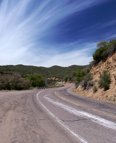
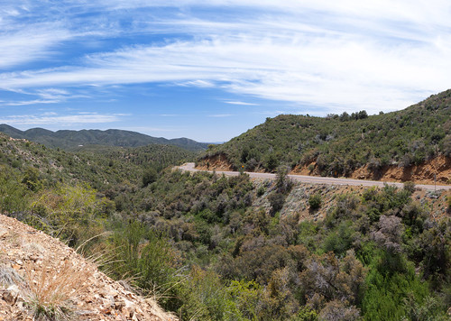
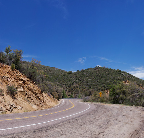
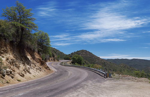
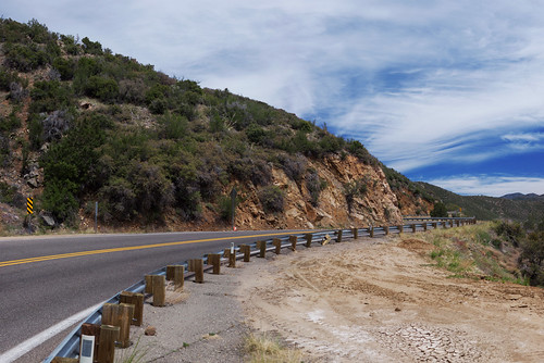
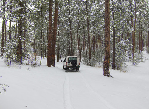
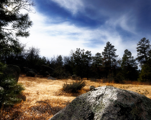
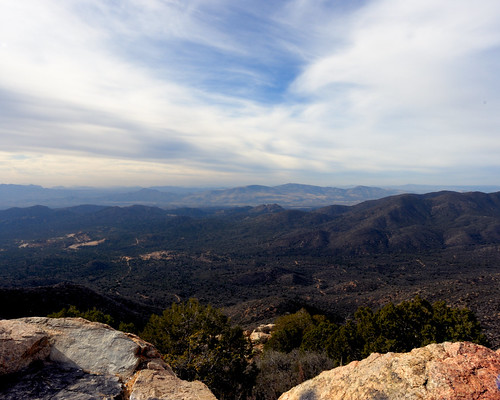
Elevation of E Windmill Rd, Prescott, AZ, USA
Location: United States > Arizona > Yavapai County > Skull Valley >
Longitude: -112.68280
Latitude: 34.4526036
Elevation: 1291m / 4236feet
Barometric Pressure: 87KPa
Related Photos:
Topographic Map of E Windmill Rd, Prescott, AZ, USA
Find elevation by address:

Places near E Windmill Rd, Prescott, AZ, USA:
6811 Windmill Rd
3550 Iron Springs Rd
Kirkland
Skull Valley
8235 Co Rd 10
2565 Iron Springs Rd
2450 Iron Springs Rd
Bull Elk Ridge
11975 W Bull Elk Ridge
8240 W Flint Dr
7975 W Lowell Dr
9080 S Trafalgar Dr
7790 W Emerson Dr
Copper Basin Road
7230 Veda Ln
9340 S Steven Trail
Wilhoit
AZ-89, Kirkland, AZ, USA
Brady Rd, Prescott, AZ, USA
788 Westview Dr
Recent Searches:
- Elevation of Corso Fratelli Cairoli, 35, Macerata MC, Italy
- Elevation of Tallevast Rd, Sarasota, FL, USA
- Elevation of 4th St E, Sonoma, CA, USA
- Elevation of Black Hollow Rd, Pennsdale, PA, USA
- Elevation of Oakland Ave, Williamsport, PA, USA
- Elevation of Pedrógão Grande, Portugal
- Elevation of Klee Dr, Martinsburg, WV, USA
- Elevation of Via Roma, Pieranica CR, Italy
- Elevation of Tavkvetili Mountain, Georgia
- Elevation of Hartfords Bluff Cir, Mt Pleasant, SC, USA


