Elevation of Skull Valley, AZ, USA
Location: United States > Arizona > Yavapai County >
Longitude: -112.68487
Latitude: 34.5039684
Elevation: 1300m / 4265feet
Barometric Pressure: 87KPa
Elevation Map:
Satellite Map:
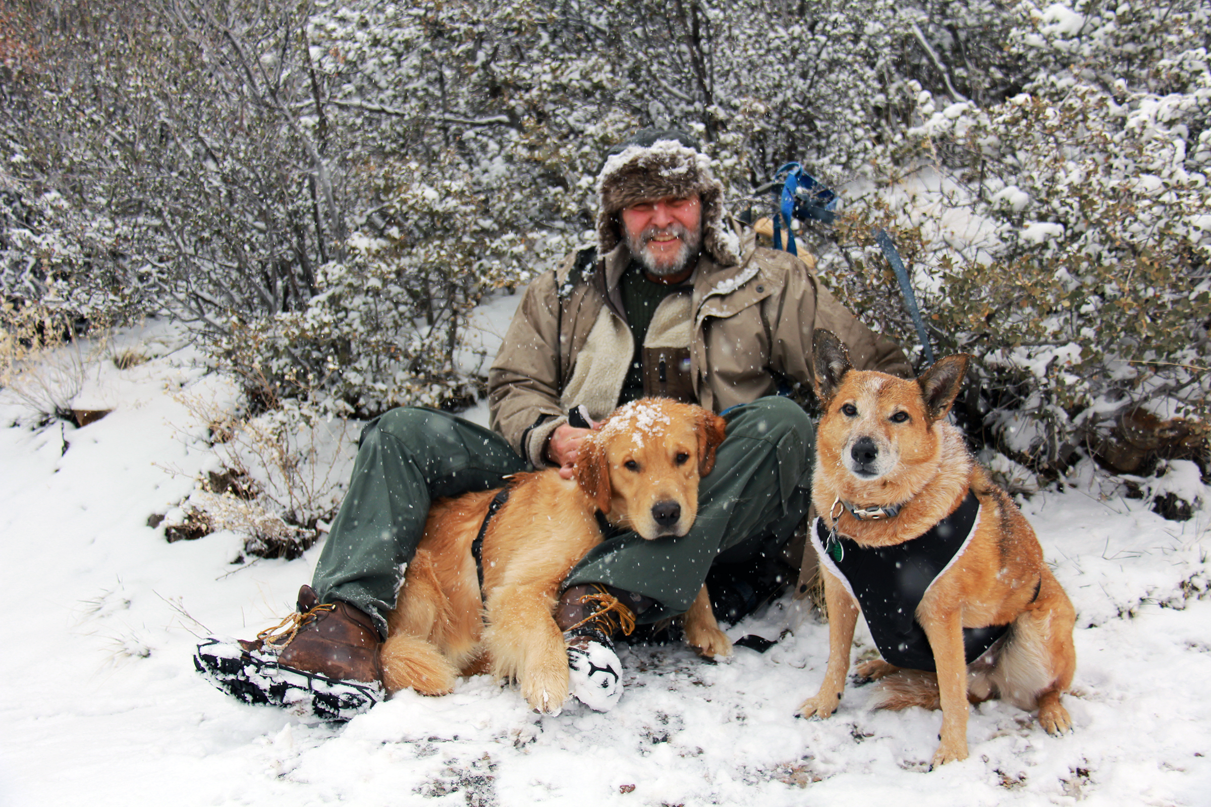
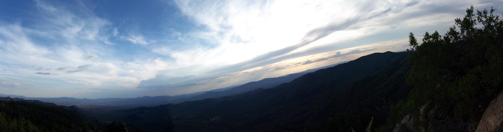
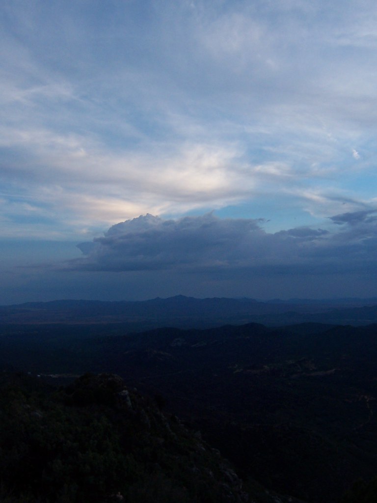
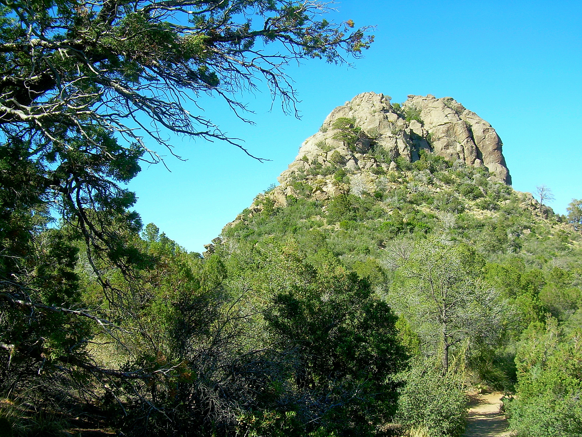
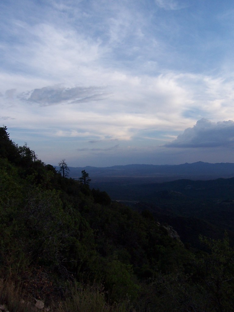
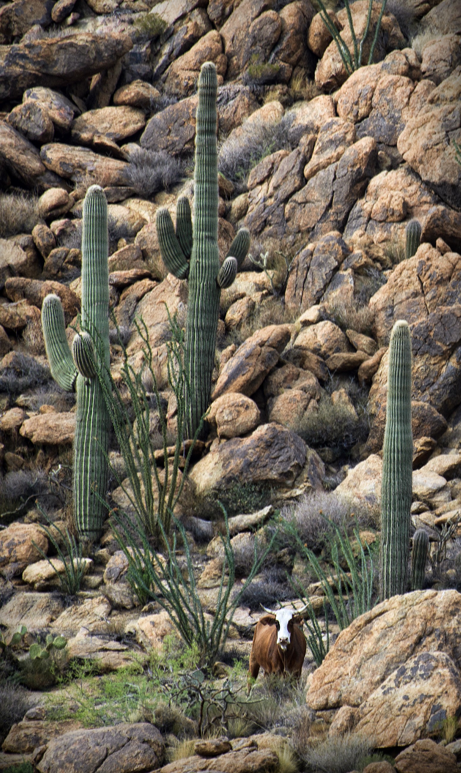
Related Photos:
Thumb Butte at about 6,000' February 20, 2013
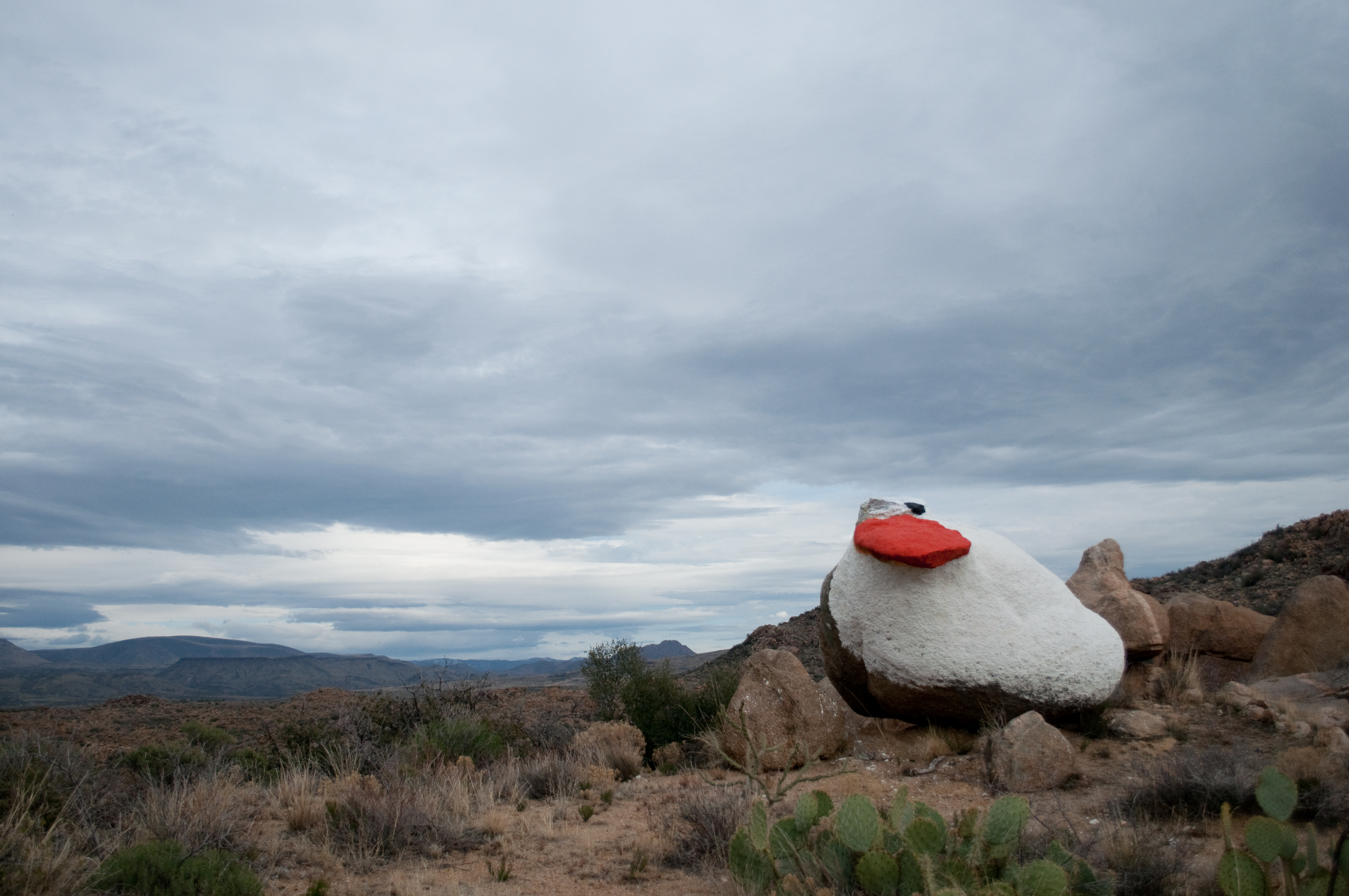
Painted duck
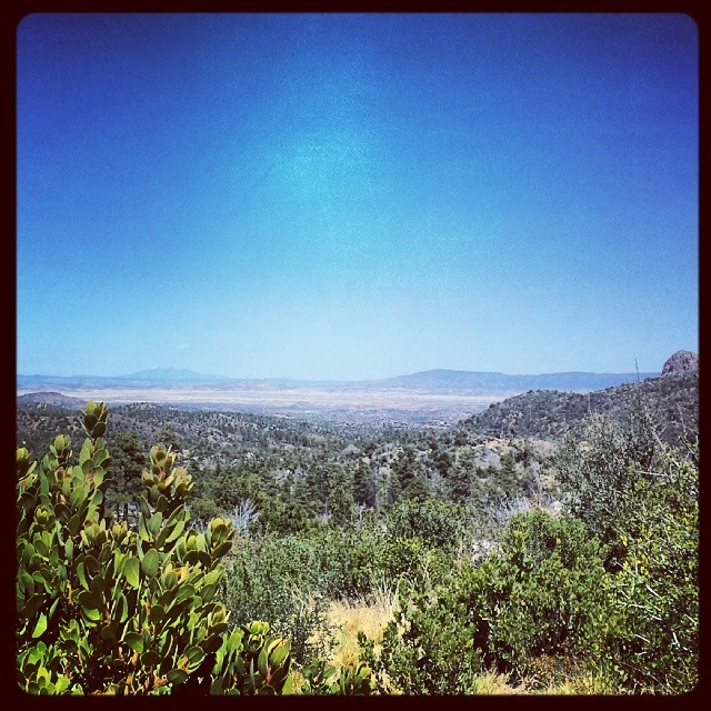
view frm prieta panorama
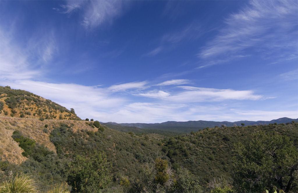
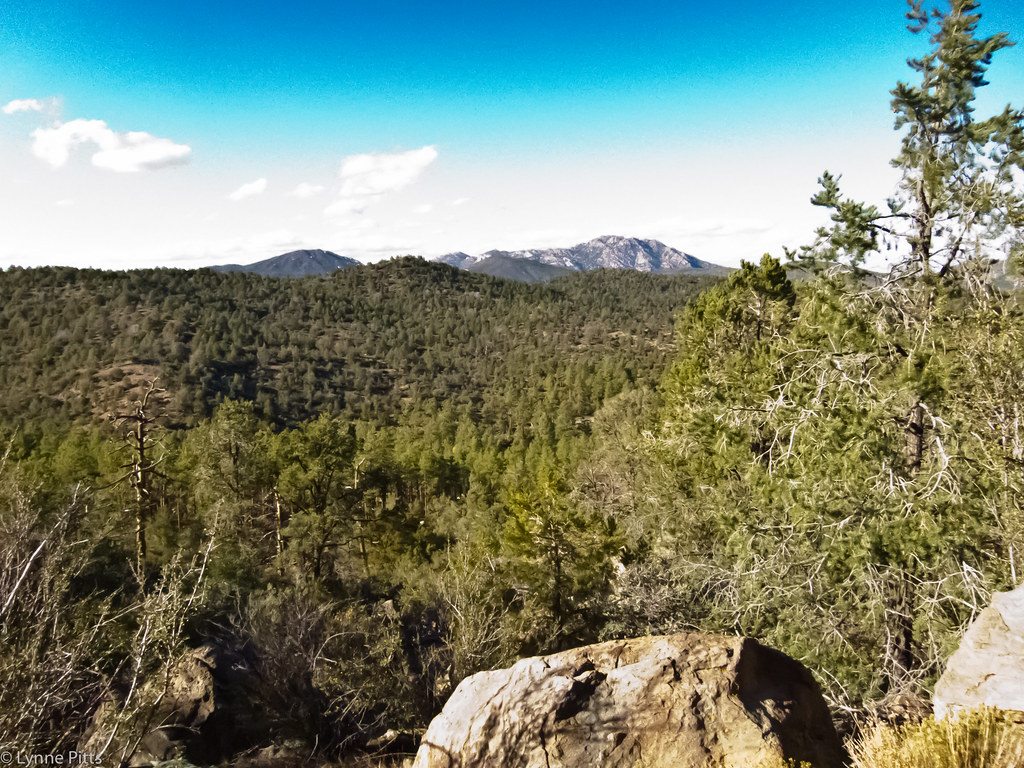
Prescott National Forest
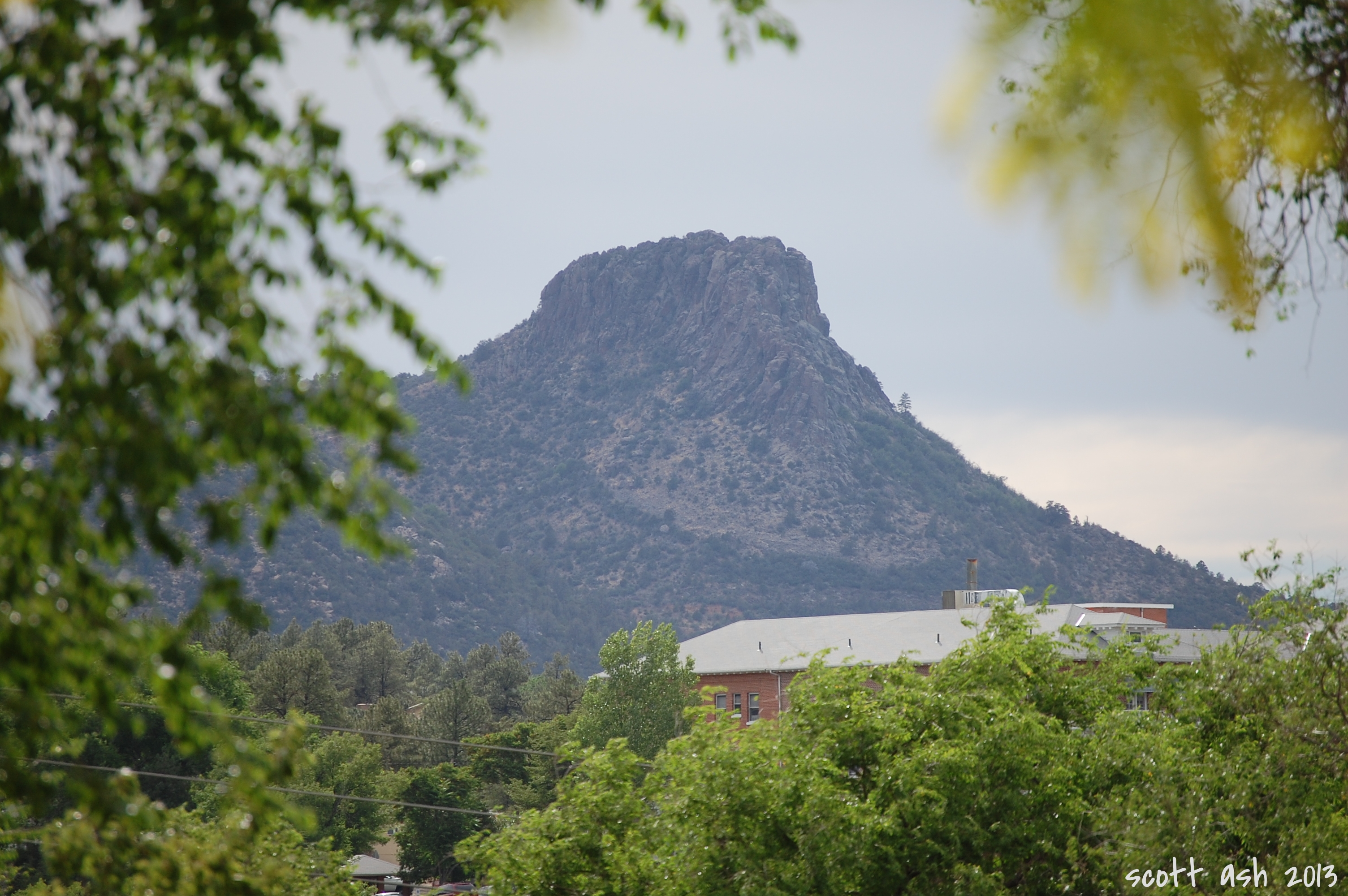
Thumb Butte
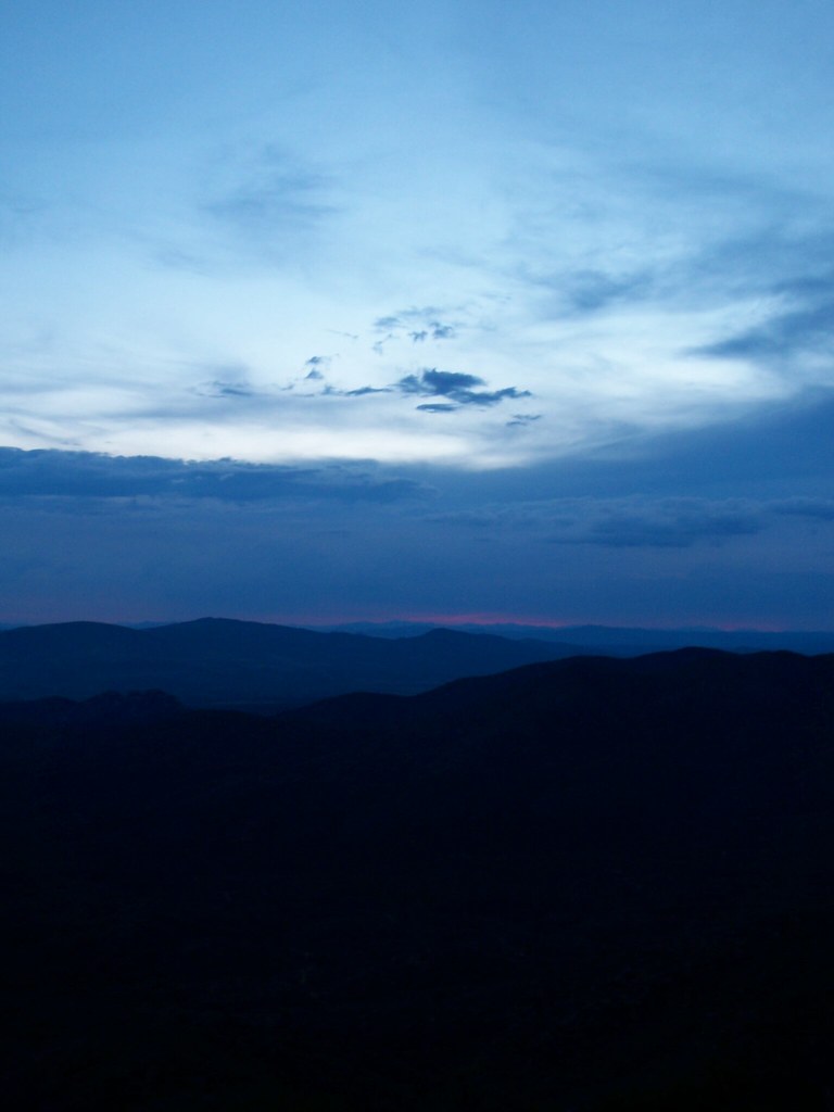
view from prieta
view frm prieta
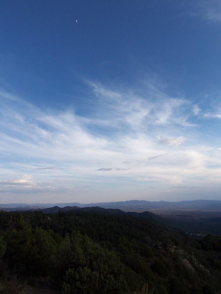
view from prieta
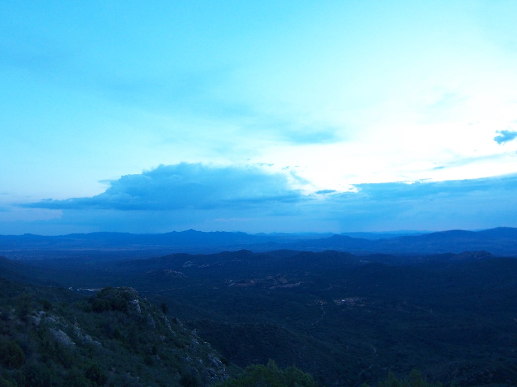
view from prieta
Thumb Butte Trail: North View

view from prieta
view from prieta
MPW_1759-Cropped (Custom)

Climber on the Rock
Backside of #thumbbutt and sf peaks in the distance. #prescott #prescottnationalforest
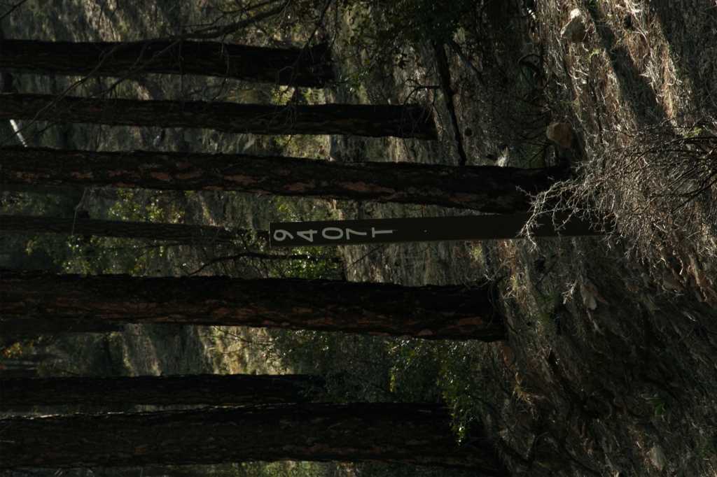
Trail 264 Hike
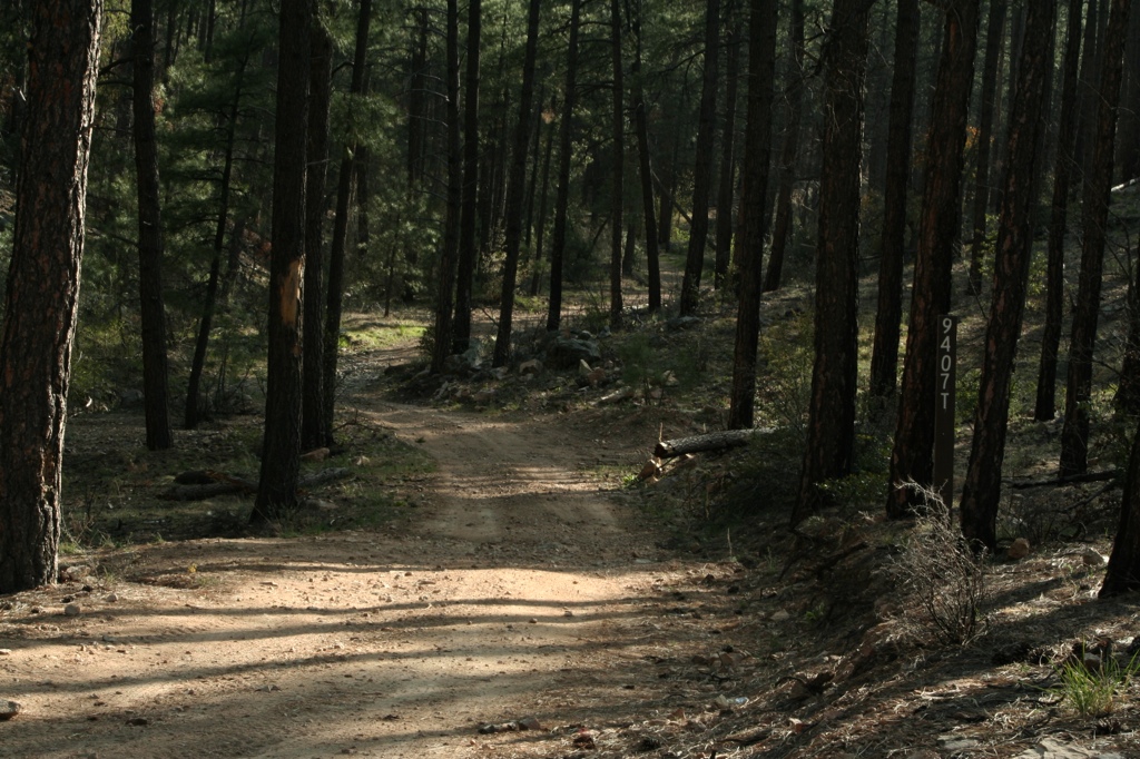
Trail 264 Hike

Yavapai County 04-23-2010

Wide Open Spaces

Yavapai County 04-23-2010

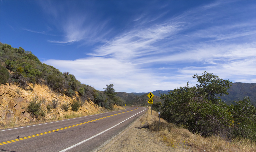
Arizona SR 89 4
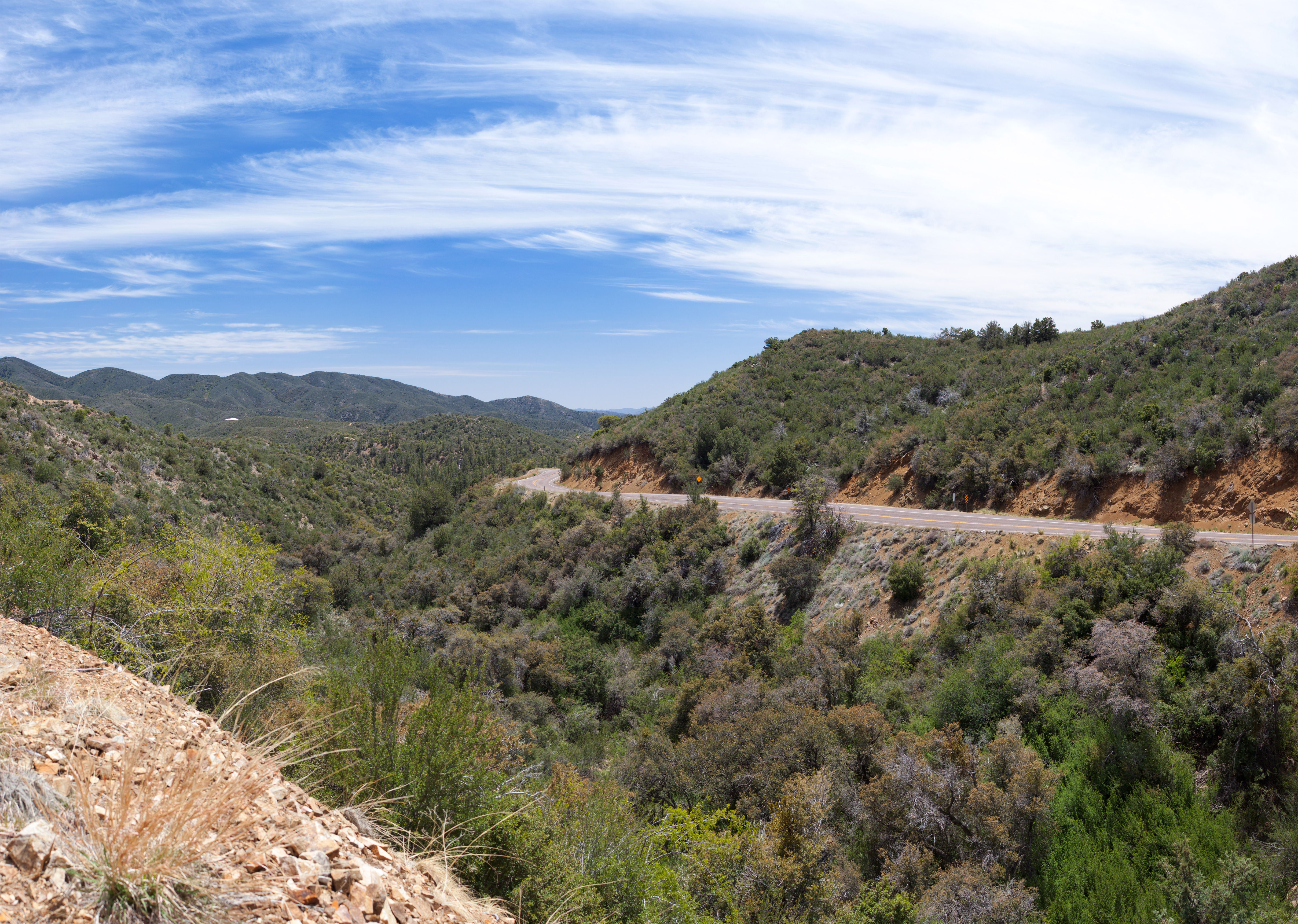
Butte Vista
Arizona SR 89 6
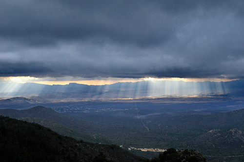
there be rain coming

Yavapai County 04-23-2010
Arizona SR 89 14

OJ Snow Run 05

Yavapai County 04-23-2010
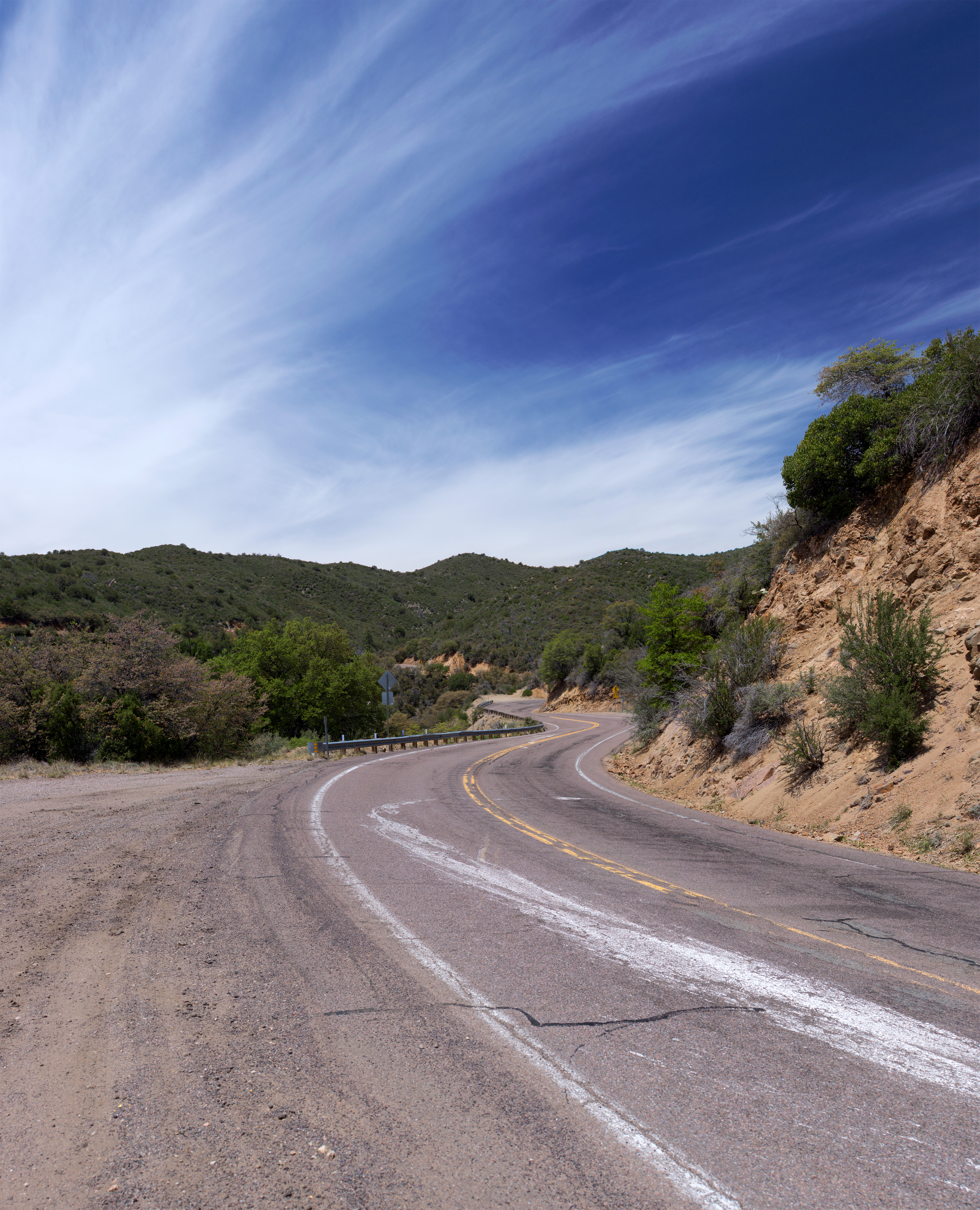
Curves Ahead

Last Import-6
Topographic Map of Skull Valley, AZ, USA
Find elevation by address:

Places in Skull Valley, AZ, USA:
Places near Skull Valley, AZ, USA:
3550 Iron Springs Rd
2565 Iron Springs Rd
8235 Co Rd 10
2450 Iron Springs Rd
Bull Elk Ridge
11975 W Bull Elk Ridge
Copper Basin Road
788 Westview Dr
Brady Rd, Prescott, AZ, USA
1044 Skyline Dr
Z3 Ranch Rd, Skull Valley, AZ, USA
5505 W Tombstone Trail
5521 W Hillside Cove
5170 W Smoki Dr
Thumb Butte Road
5055 W Lonesome Hawk Dr
5101 Iron Springs Rd
1585 High Valley Ranch Rd
166 Cascade
166 Cascade
Recent Searches:
- Elevation of Corso Fratelli Cairoli, 35, Macerata MC, Italy
- Elevation of Tallevast Rd, Sarasota, FL, USA
- Elevation of 4th St E, Sonoma, CA, USA
- Elevation of Black Hollow Rd, Pennsdale, PA, USA
- Elevation of Oakland Ave, Williamsport, PA, USA
- Elevation of Pedrógão Grande, Portugal
- Elevation of Klee Dr, Martinsburg, WV, USA
- Elevation of Via Roma, Pieranica CR, Italy
- Elevation of Tavkvetili Mountain, Georgia
- Elevation of Hartfords Bluff Cir, Mt Pleasant, SC, USA