Elevation of Iron Springs Rd, Skull Valley, AZ, USA
Location: United States > Arizona > Yavapai County > Skull Valley >
Longitude: -112.69042
Latitude: 34.5106966
Elevation: 1322m / 4337feet
Barometric Pressure: 86KPa
Elevation Map:
Satellite Map:
Related Photos:

"ChromaDepth 3D Man"

'ChromaDepth 3D Man" [final signed version]

'ChromaDepth 3D Man 2.0"

Prescott National Forest

view frm prieta panorama

view frm prieta

view from prieta

view from prieta

Thumb Butte Trail: North View

Painted duck

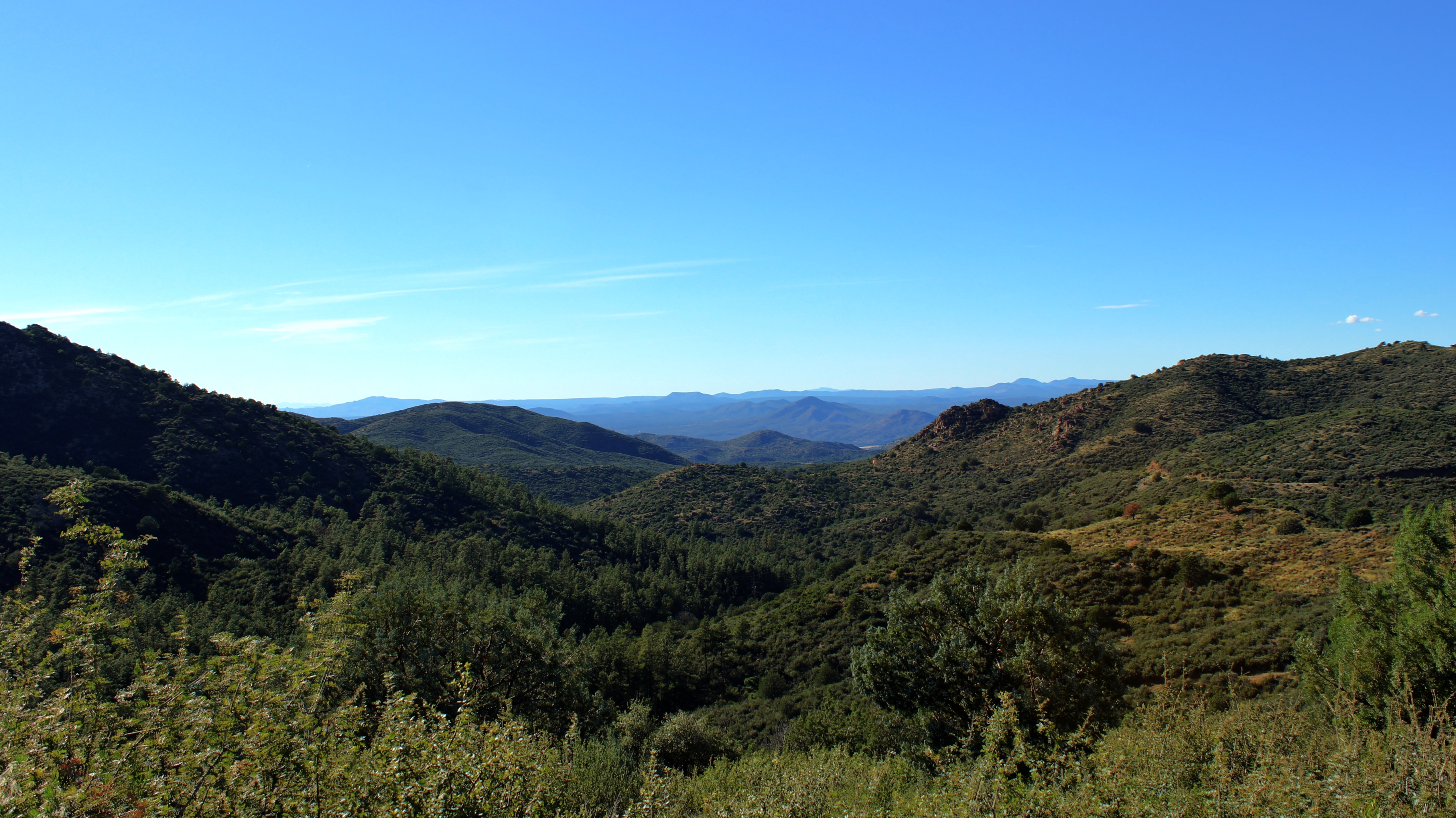
view from prieta

view from prieta

view from prieta

Looking Back!
Towards Skull Valley

Barnstar Brewing Company

butte thumb trail

Prescott-7850-HDR-Pano

"Creekside, Prescott National Forest Near Thumb Butte"

"Looking East From Thumb Butte"

MPW_1759-Cropped (Custom)

Curves Ahead

OJ Snow Run 05

there be rain coming

mountain meadow

valley of the clouds

Kirkland Peak
Topographic Map of Iron Springs Rd, Skull Valley, AZ, USA
Find elevation by address:

Places near Iron Springs Rd, Skull Valley, AZ, USA:
8235 Co Rd 10
2450 Iron Springs Rd
Skull Valley
3550 Iron Springs Rd
Bull Elk Ridge
11975 W Bull Elk Ridge
Copper Basin Road
Z3 Ranch Rd, Skull Valley, AZ, USA
788 Westview Dr
Brady Rd, Prescott, AZ, USA
1044 Skyline Dr
5505 W Tombstone Trail
5521 W Hillside Cove
5170 W Smoki Dr
5055 W Lonesome Hawk Dr
Thumb Butte Road
5101 Iron Springs Rd
166 Cascade
166 Cascade
1585 High Valley Ranch Rd
Recent Searches:
- Elevation of Corso Fratelli Cairoli, 35, Macerata MC, Italy
- Elevation of Tallevast Rd, Sarasota, FL, USA
- Elevation of 4th St E, Sonoma, CA, USA
- Elevation of Black Hollow Rd, Pennsdale, PA, USA
- Elevation of Oakland Ave, Williamsport, PA, USA
- Elevation of Pedrógão Grande, Portugal
- Elevation of Klee Dr, Martinsburg, WV, USA
- Elevation of Via Roma, Pieranica CR, Italy
- Elevation of Tavkvetili Mountain, Georgia
- Elevation of Hartfords Bluff Cir, Mt Pleasant, SC, USA