Elevation of Wilhoit, AZ, USA
Location: United States > Arizona > Yavapai County >
Longitude: -112.58683
Latitude: 34.4258586
Elevation: 1533m / 5030feet
Barometric Pressure: 84KPa
Elevation Map:
Satellite Map:
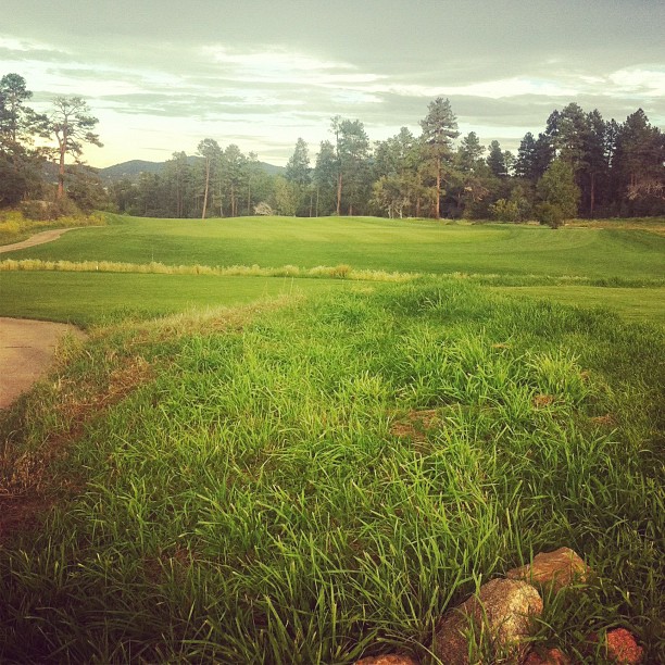
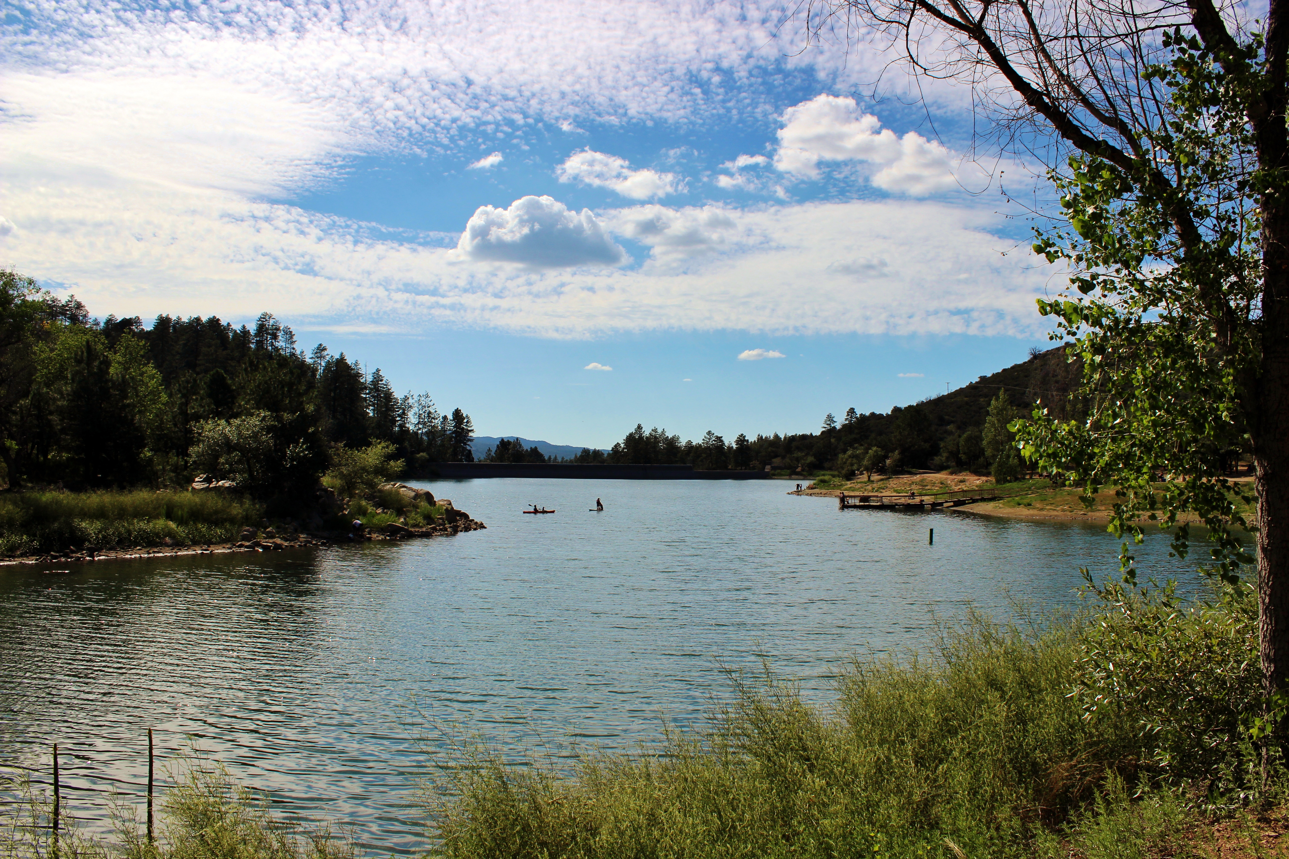
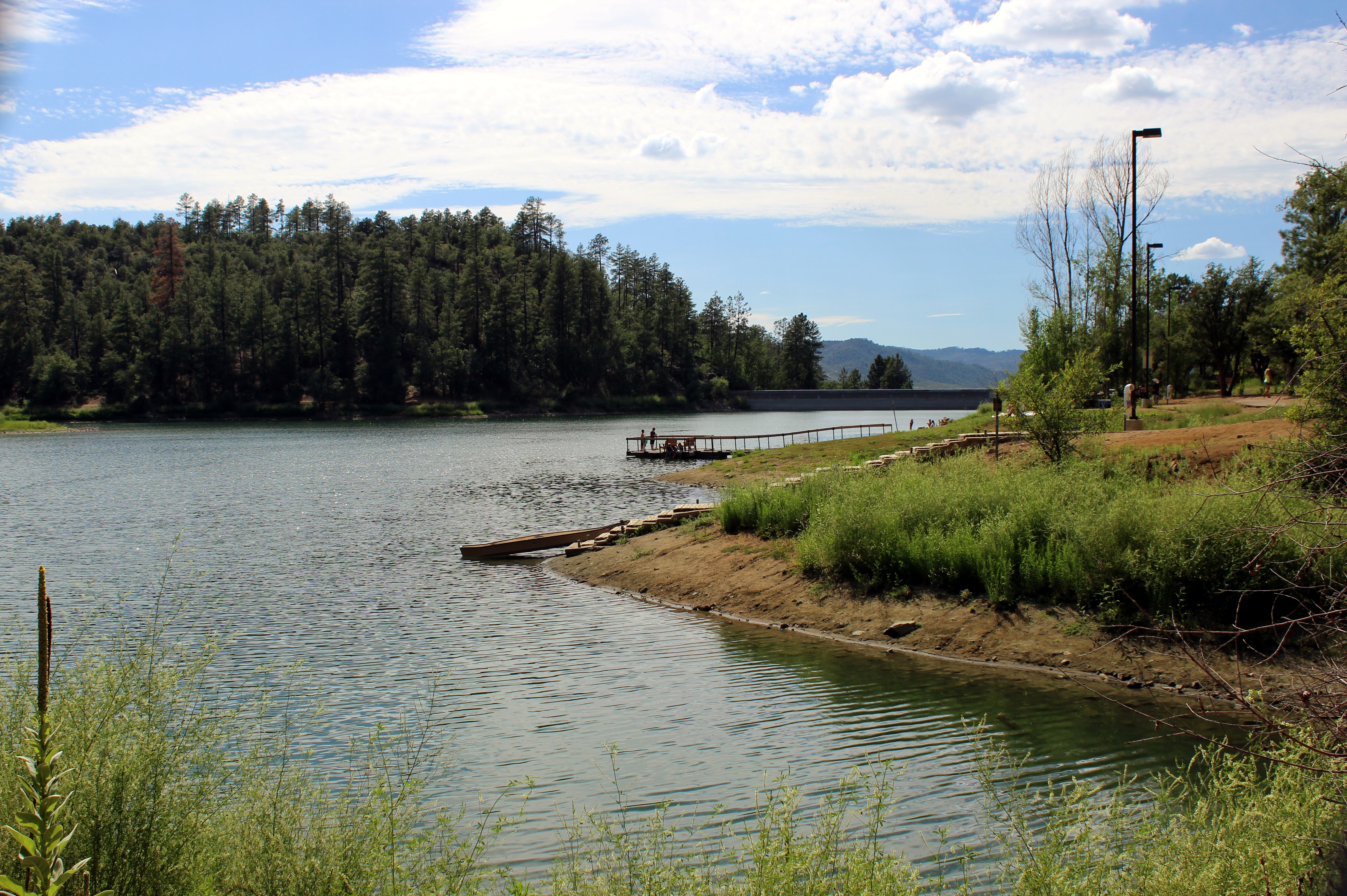
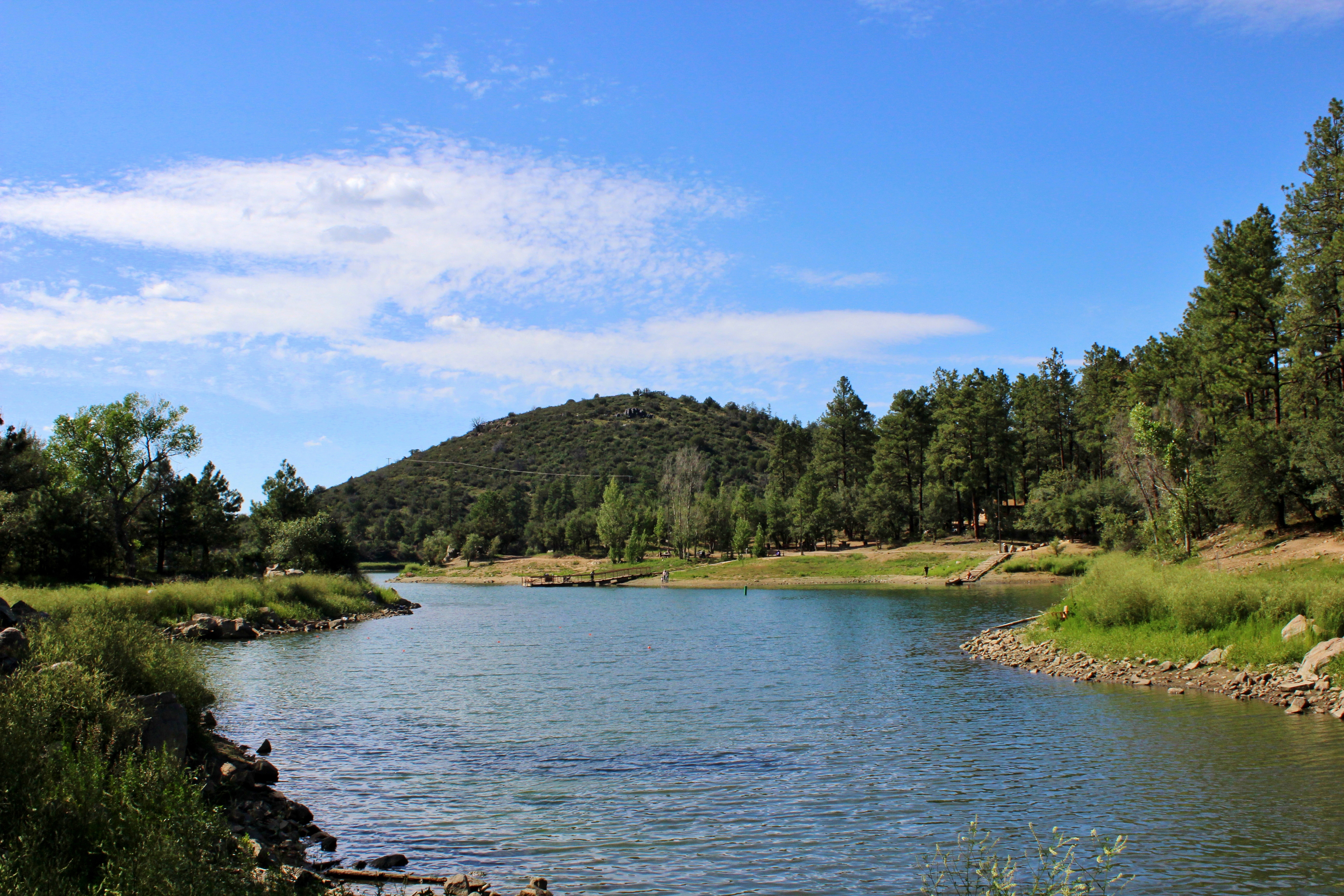
Related Photos:
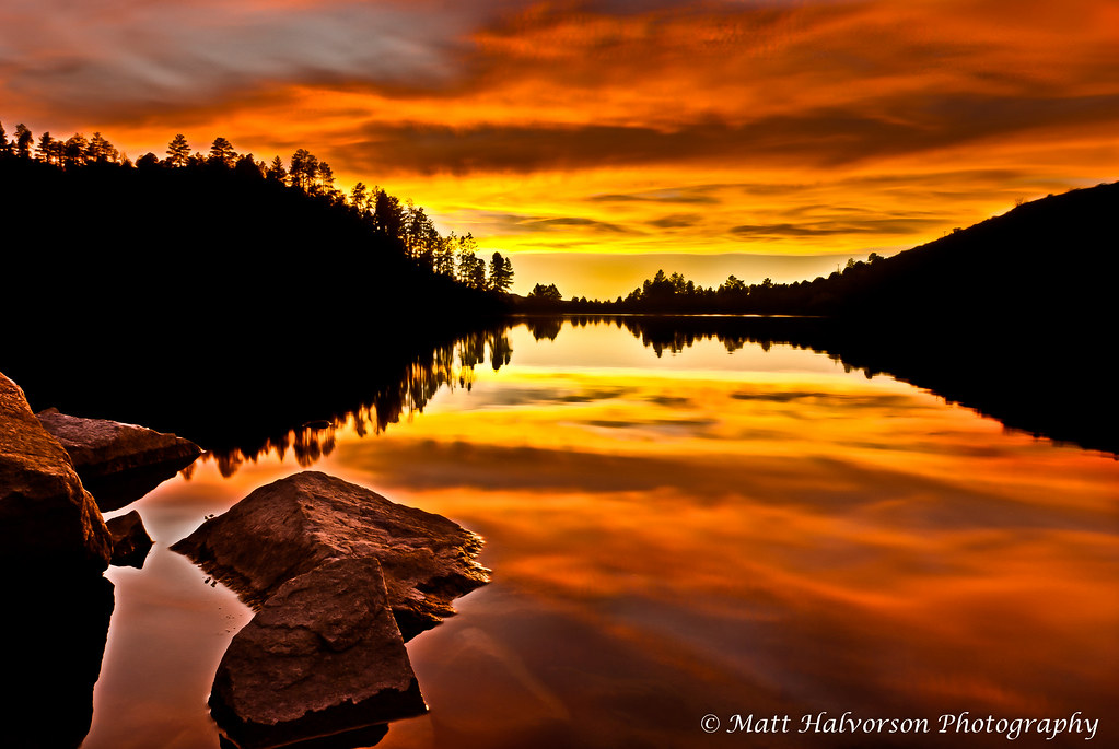
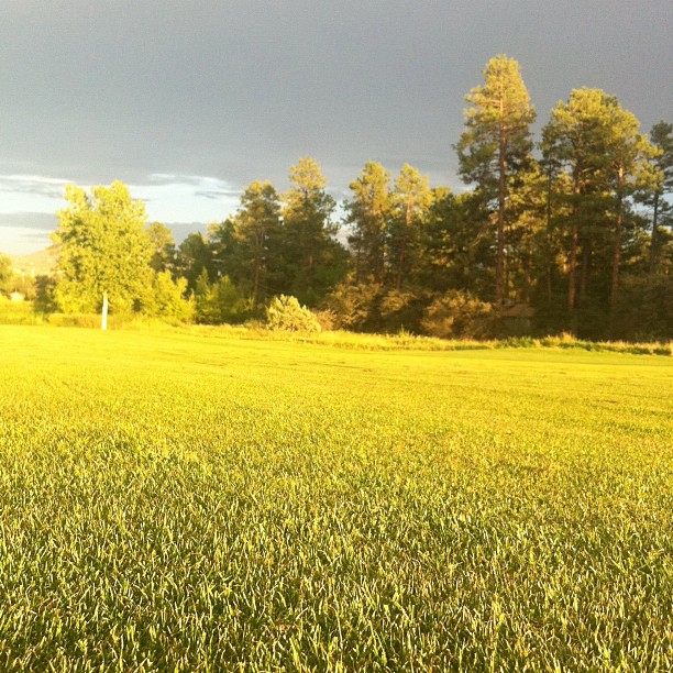
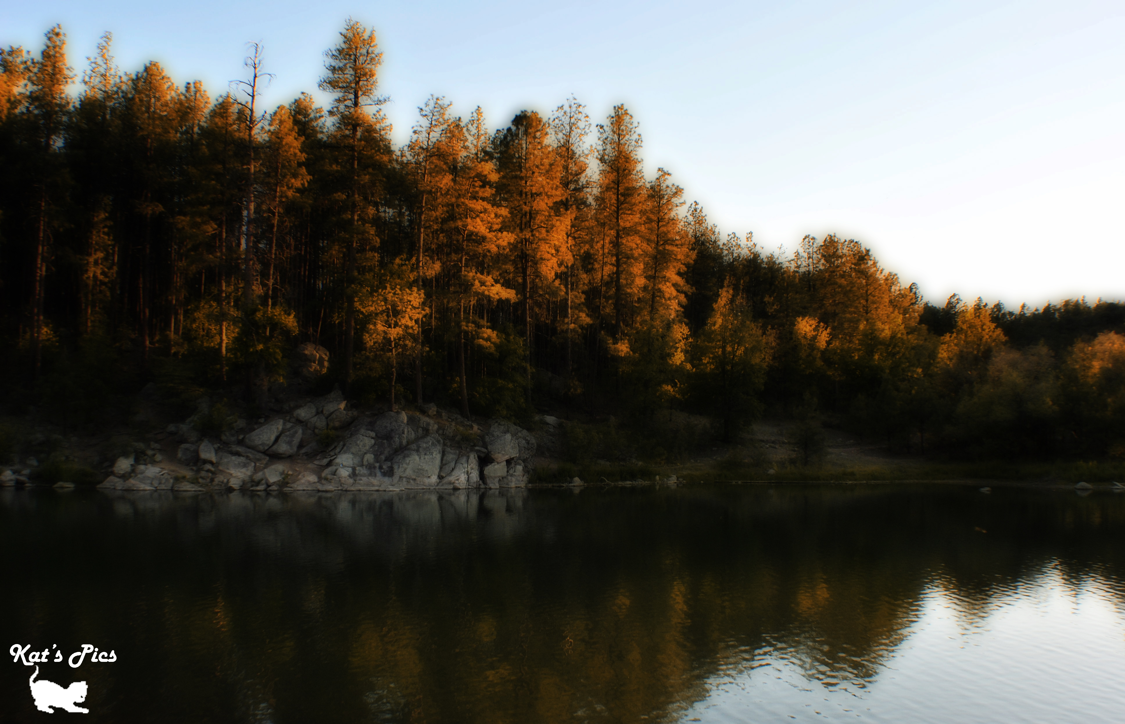
Golden Reflections

Hollowing at wolf creek falls moon
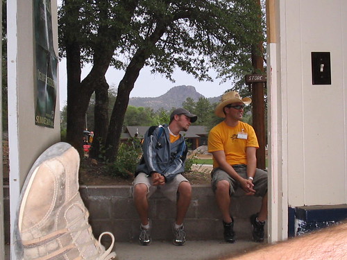
Thumb Butte at about 6,000' February 20, 2013

Drive-Thru

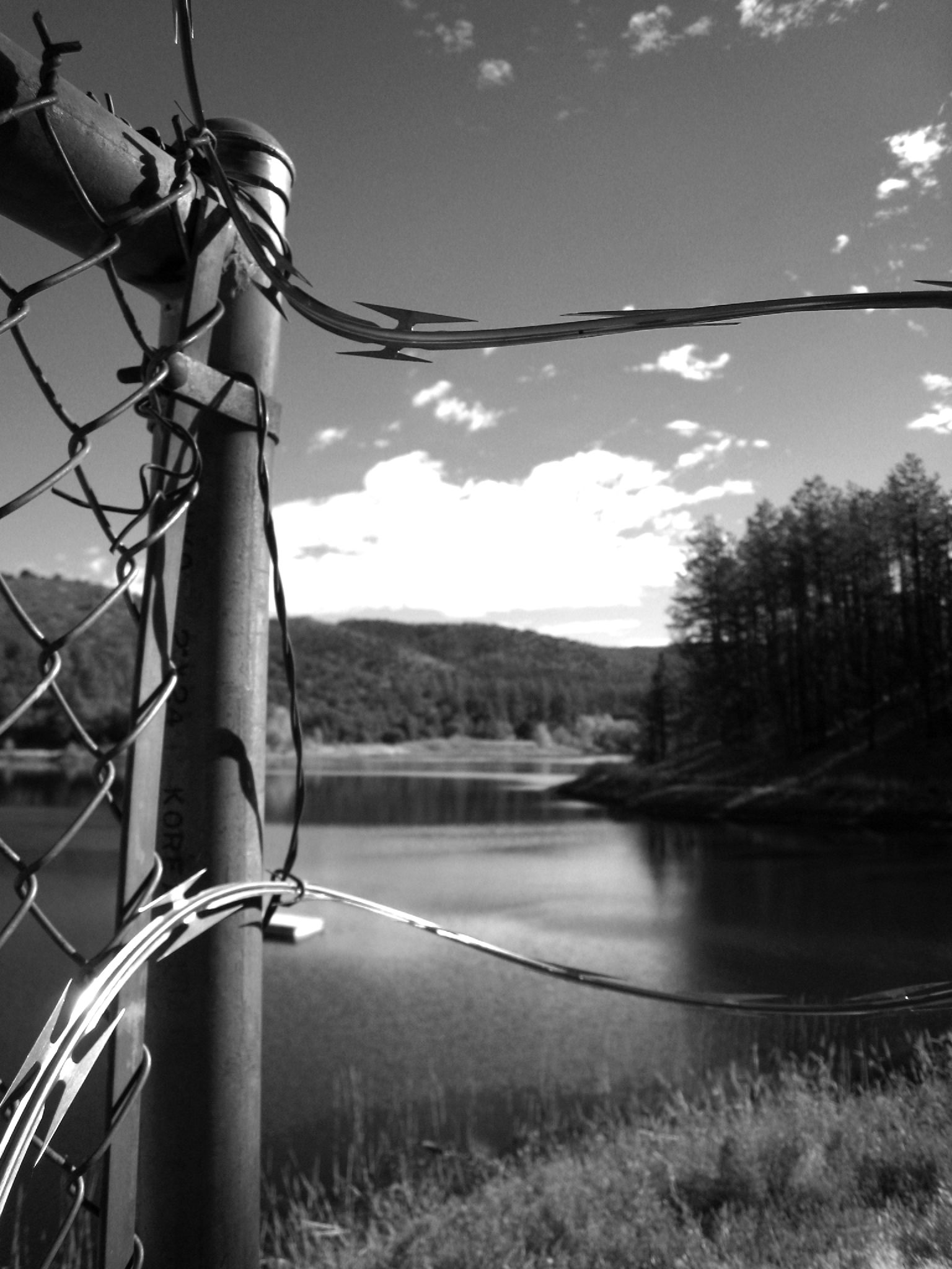
Barbed Wire
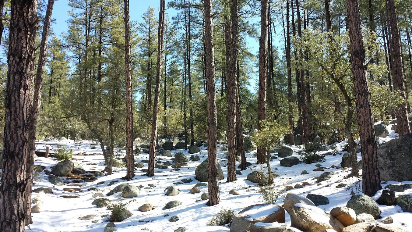
Prescott National Forest
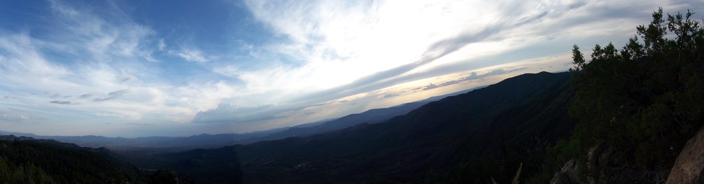
view frm prieta panorama
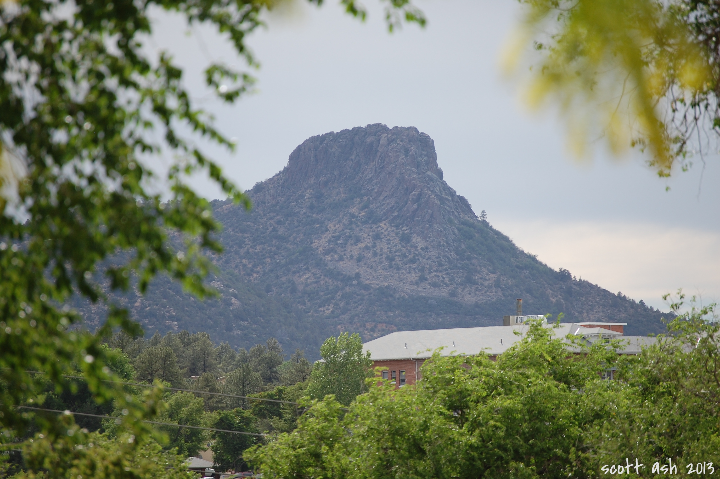
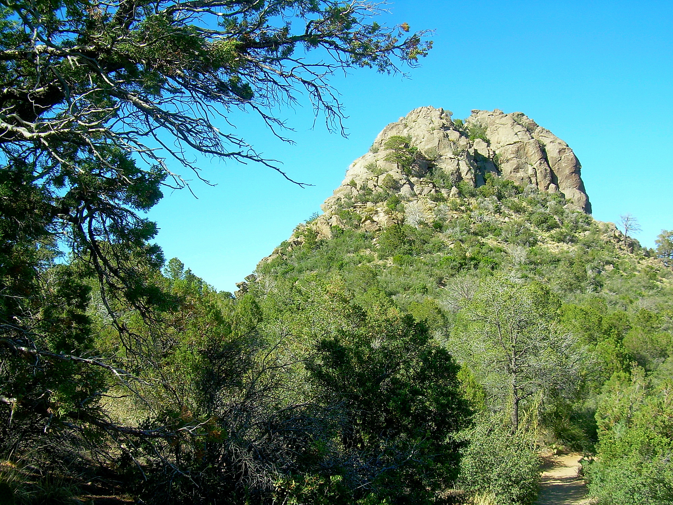
Thumb Butte
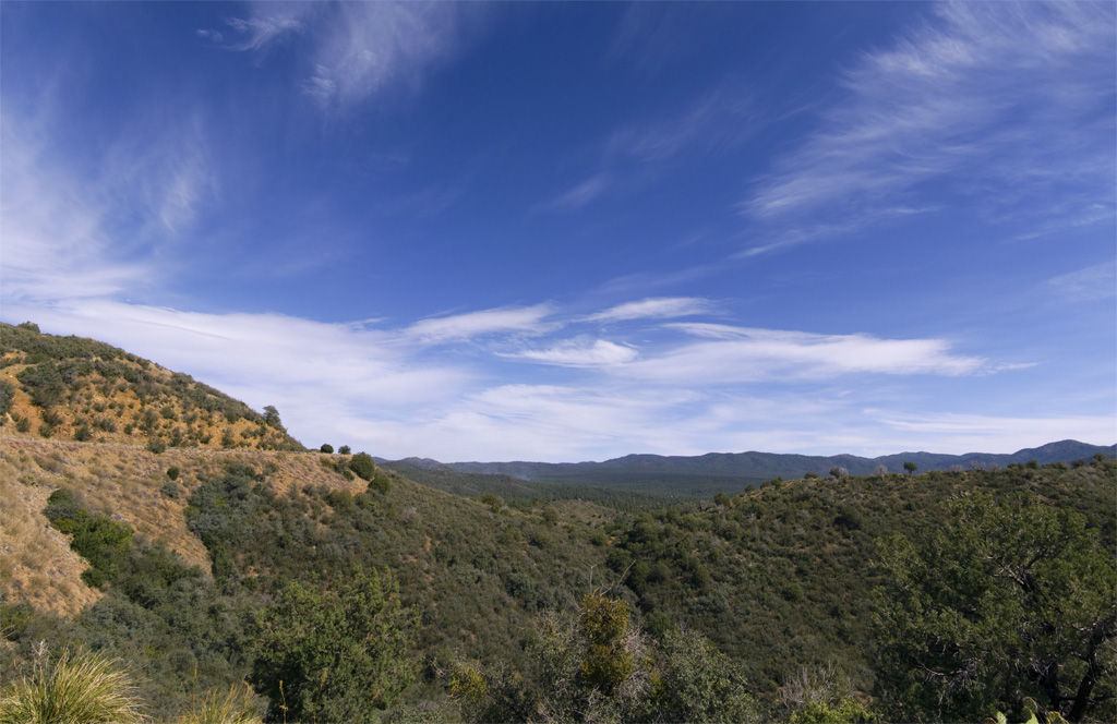
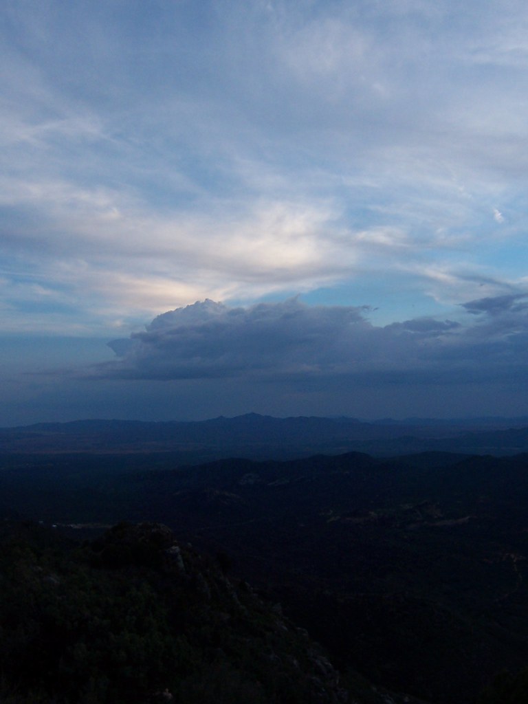
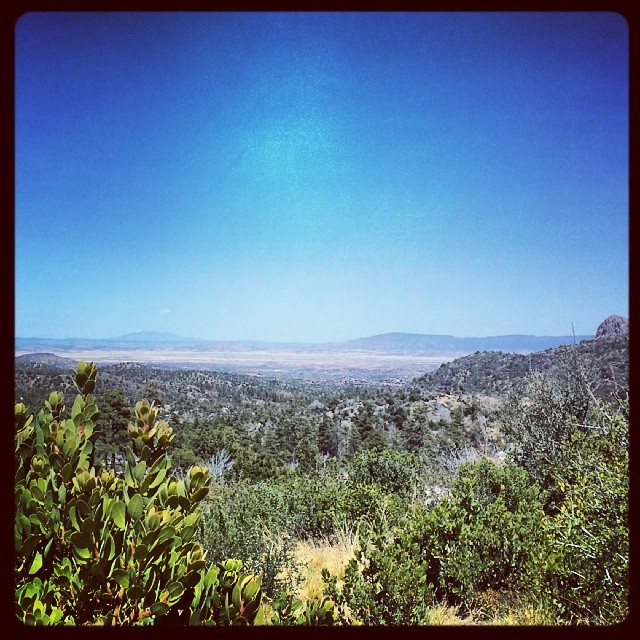
view from prieta
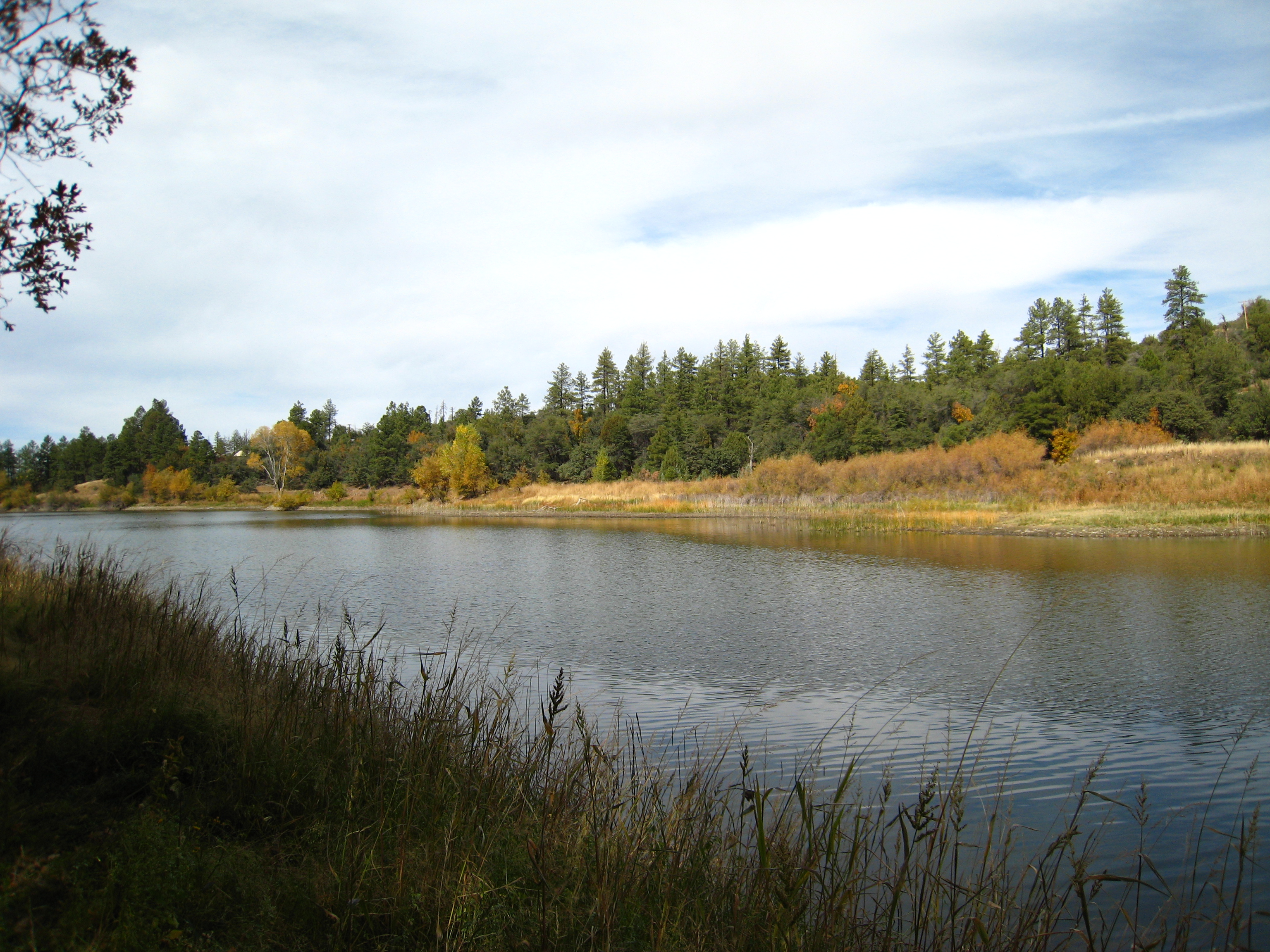
Lower Goldwater Lake
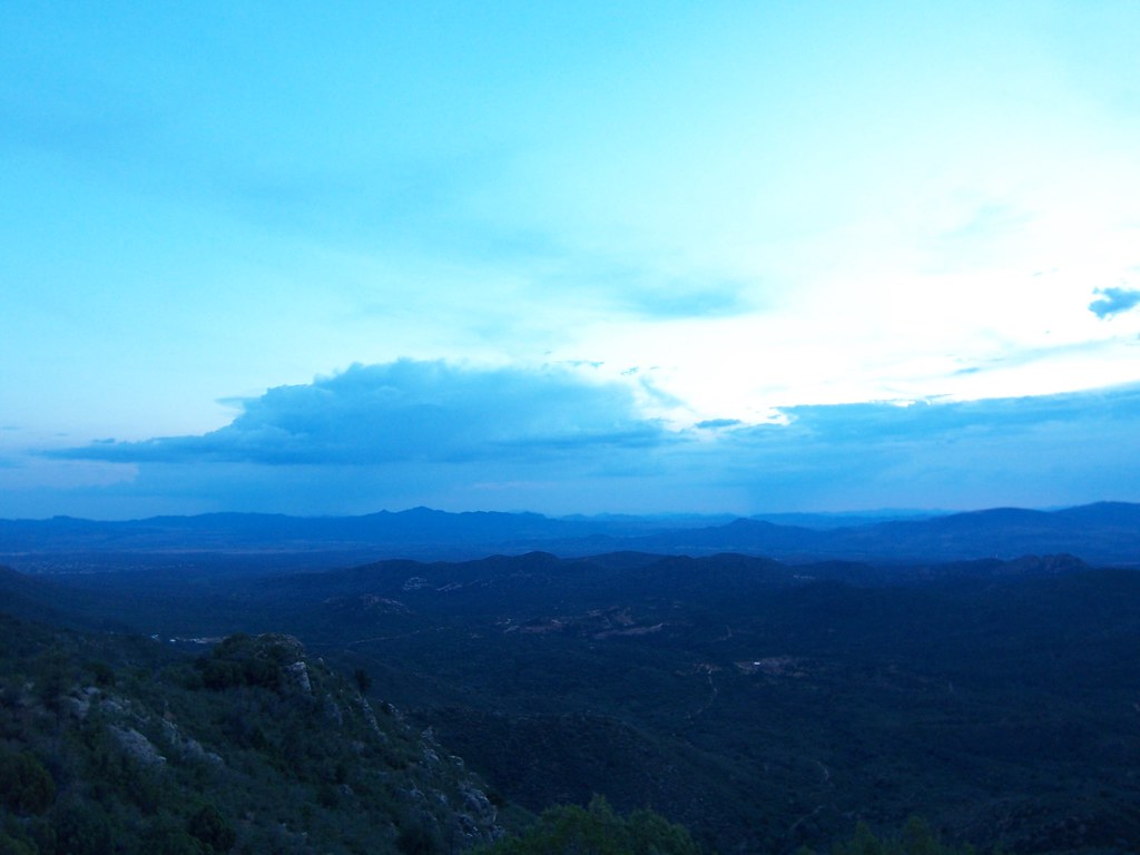
view frm prieta
view from prieta
BW Lake
view from prieta
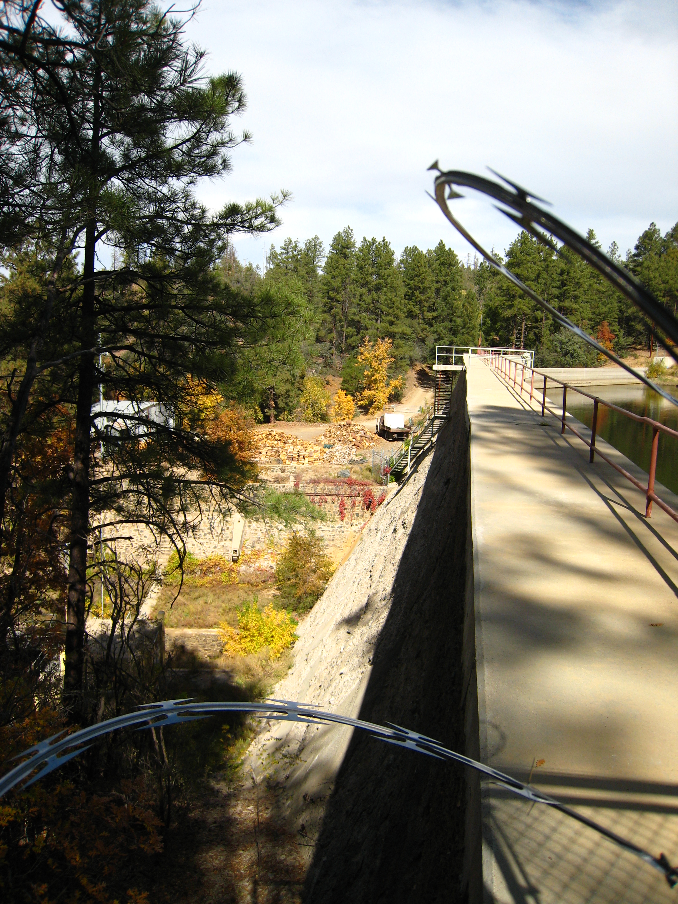
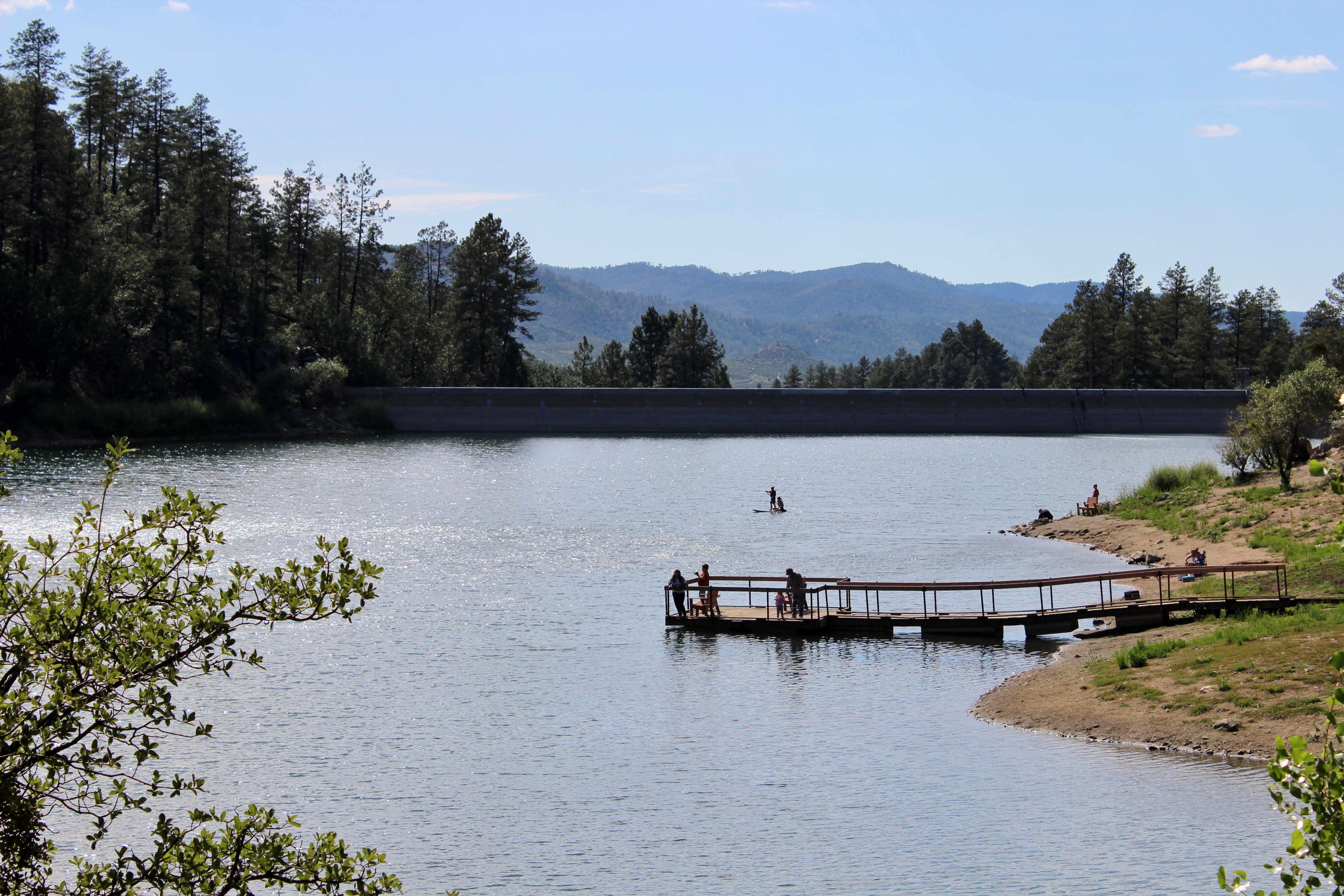
View from the Dam
view from the registration shack

view from prieta
view from prieta
Home - wide angle
Thumb Butte Trail: North View

Mom's Backyard
Goldwater Lake forest
Beyond Breathtaking...
MPW_5315_6_7_9_tonemapped (Custom)
Backside of #thumbbutt and sf peaks in the distance. #prescott #prescottnationalforest

Goldwater Pier
Sunset at the Lake - Explored June 19th, 2011 #322
Trail 264 Hike
Trail 264 Hike
Cute lil crick #prescottnationalforest #senatorhighway #beautifulday #nature #gratefulasfuck
Wonderland <3
Goldwater Lake (9)
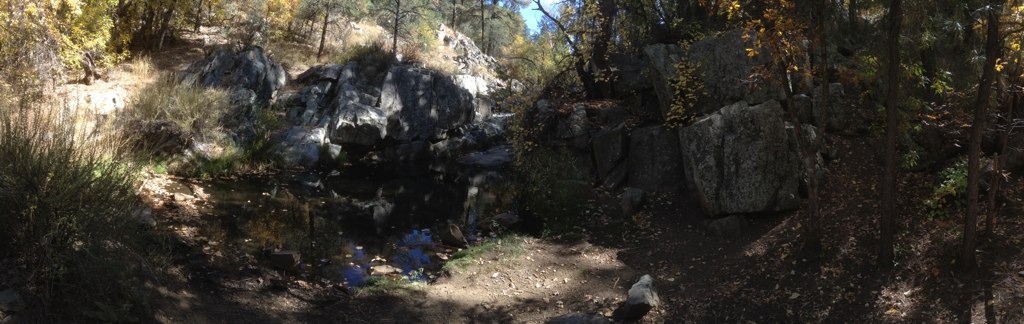
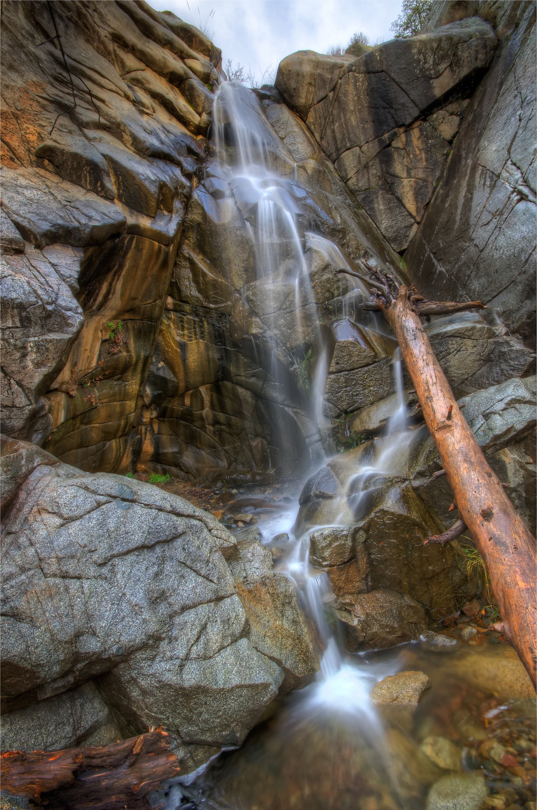
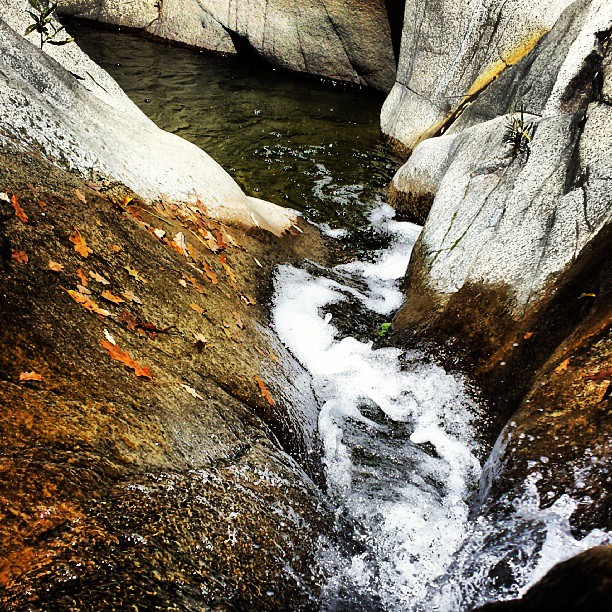
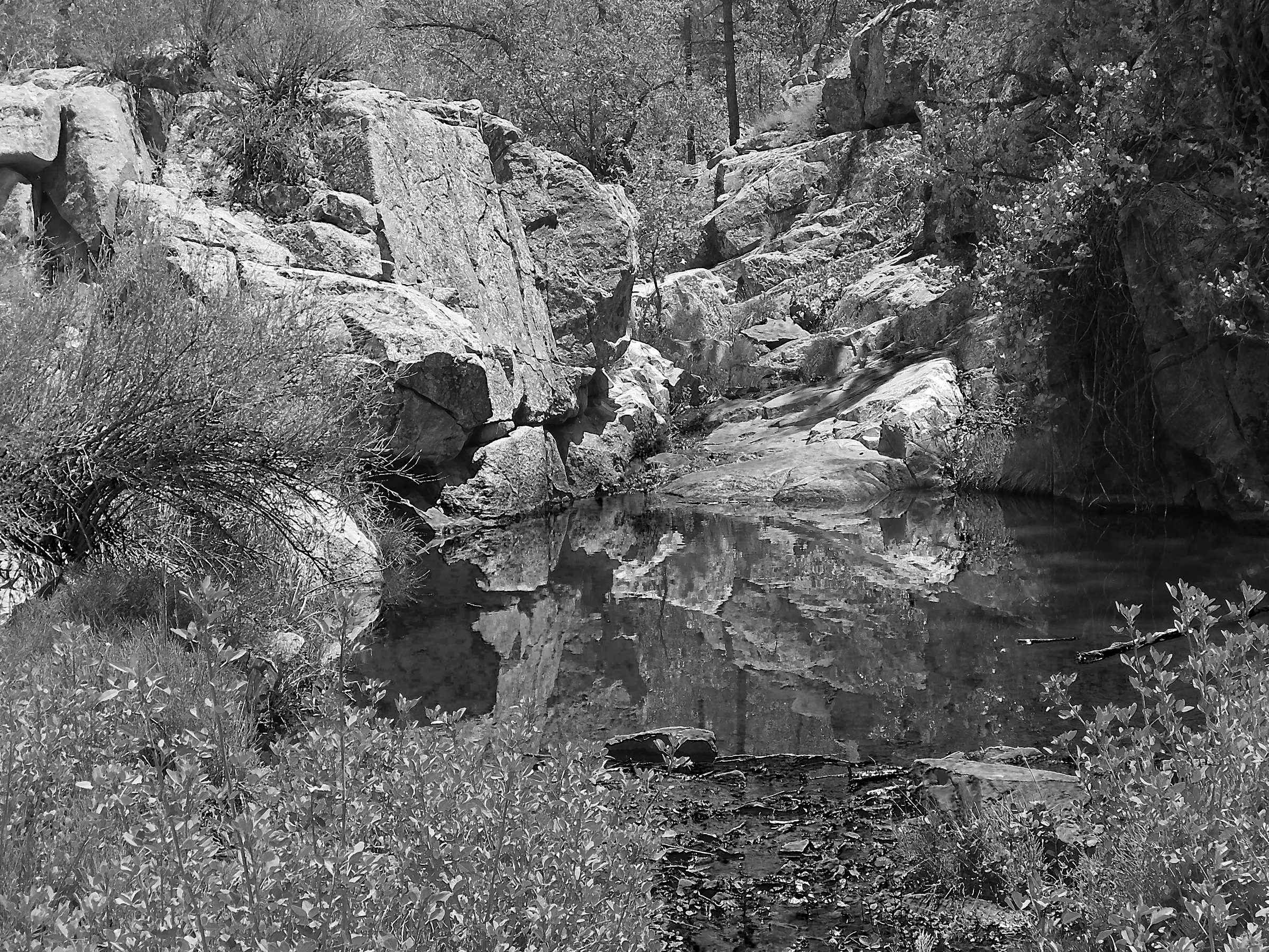
Banning Creek Pool

Climber on the Rock
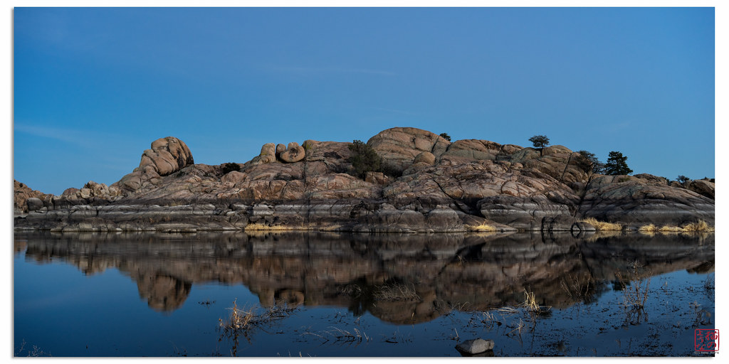
Granite Reflection
Goldwater Lake (1)
Thumb Butte Pink Sky
Rocks at Twilight
Goldwater Lake (12)
Goldwater Lake (4)
White Spar pond
Topographic Map of Wilhoit, AZ, USA
Find elevation by address:

Places in Wilhoit, AZ, USA:
Places near Wilhoit, AZ, USA:
AZ-89, Kirkland, AZ, USA
7230 Veda Ln
7790 W Emerson Dr
9340 S Steven Trail
7975 W Lowell Dr
8240 W Flint Dr
9080 S Trafalgar Dr
Copper Basin Road
State Highway 89
6811 Windmill Rd
8370 E Windmill Rd
Kirkland, AZ, USA
Thumb Butte Road
Brady Rd, Prescott, AZ, USA
1510 S Mullen Way
2080 S Weekes Rd
1585 High Valley Ranch Rd
2199 W Mountain Laurel Rd
Eagles Nest
2263 W Yellow Pine Trail
Recent Searches:
- Elevation of Corso Fratelli Cairoli, 35, Macerata MC, Italy
- Elevation of Tallevast Rd, Sarasota, FL, USA
- Elevation of 4th St E, Sonoma, CA, USA
- Elevation of Black Hollow Rd, Pennsdale, PA, USA
- Elevation of Oakland Ave, Williamsport, PA, USA
- Elevation of Pedrógão Grande, Portugal
- Elevation of Klee Dr, Martinsburg, WV, USA
- Elevation of Via Roma, Pieranica CR, Italy
- Elevation of Tavkvetili Mountain, Georgia
- Elevation of Hartfords Bluff Cir, Mt Pleasant, SC, USA