Elevation of Indian Wells, AZ, USA
Location: United States > Arizona > Navajo County >
Longitude: -110.0952711
Latitude: 35.3923284
Elevation: 1784m / 5853feet
Barometric Pressure: 0KPa
Related Photos:
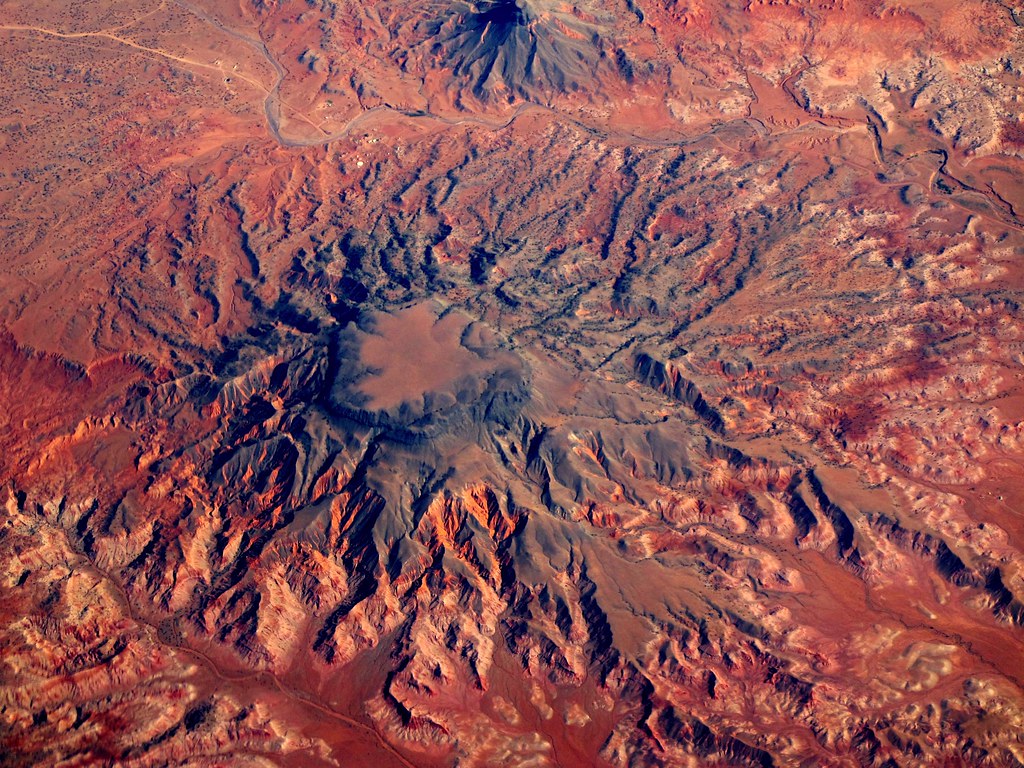
Navajo Arizona

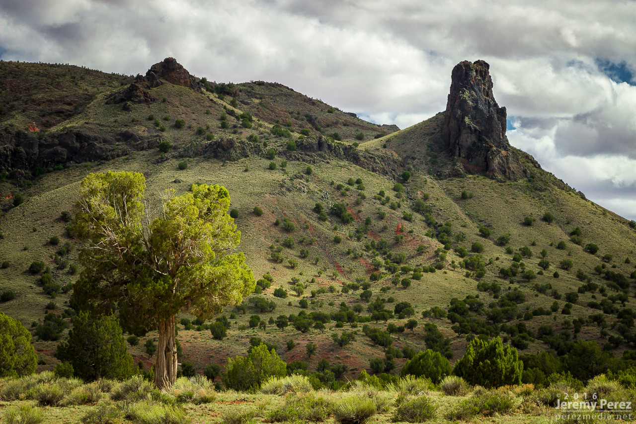
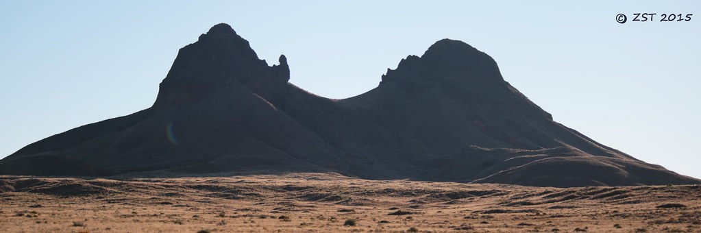
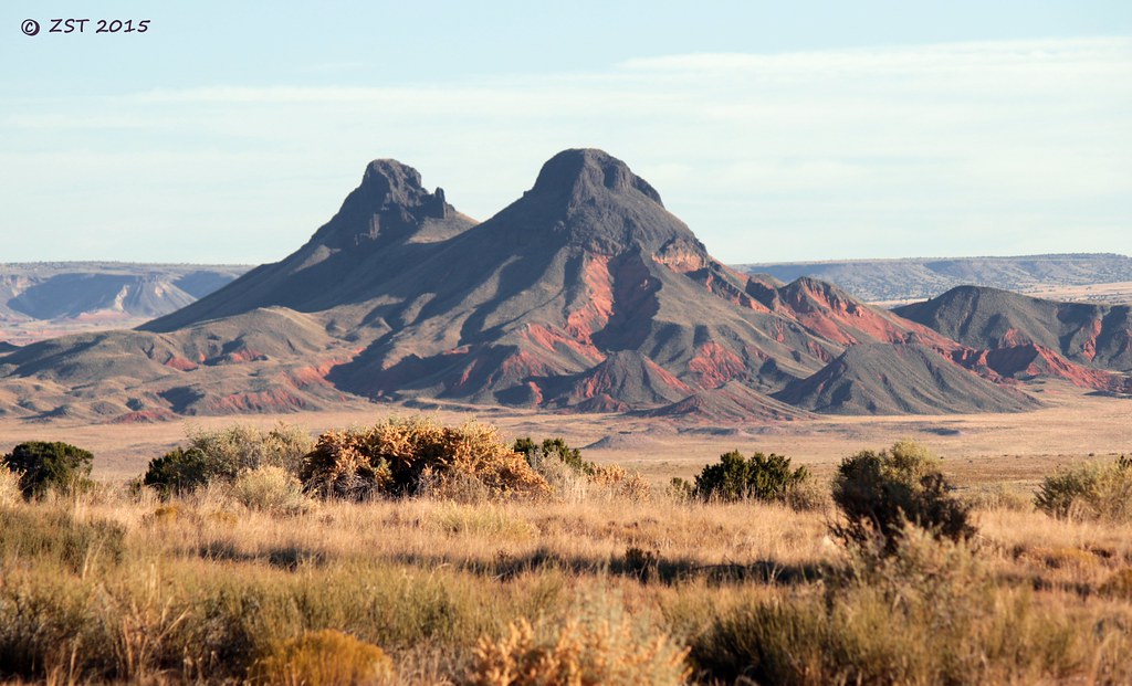
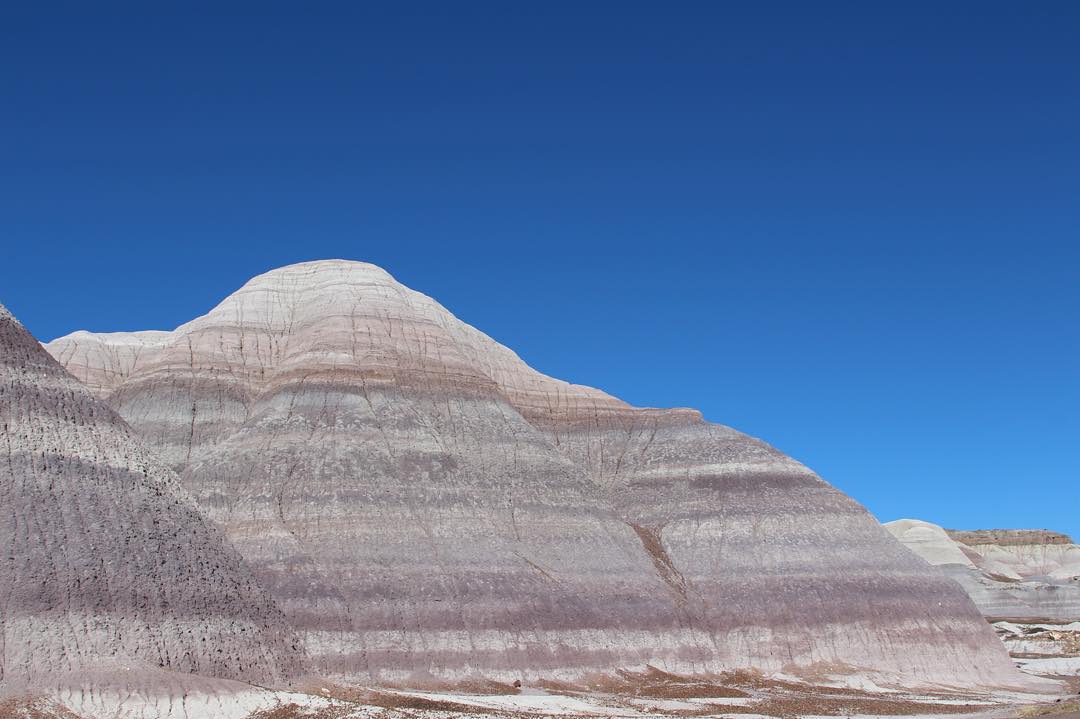
Twin Peaks
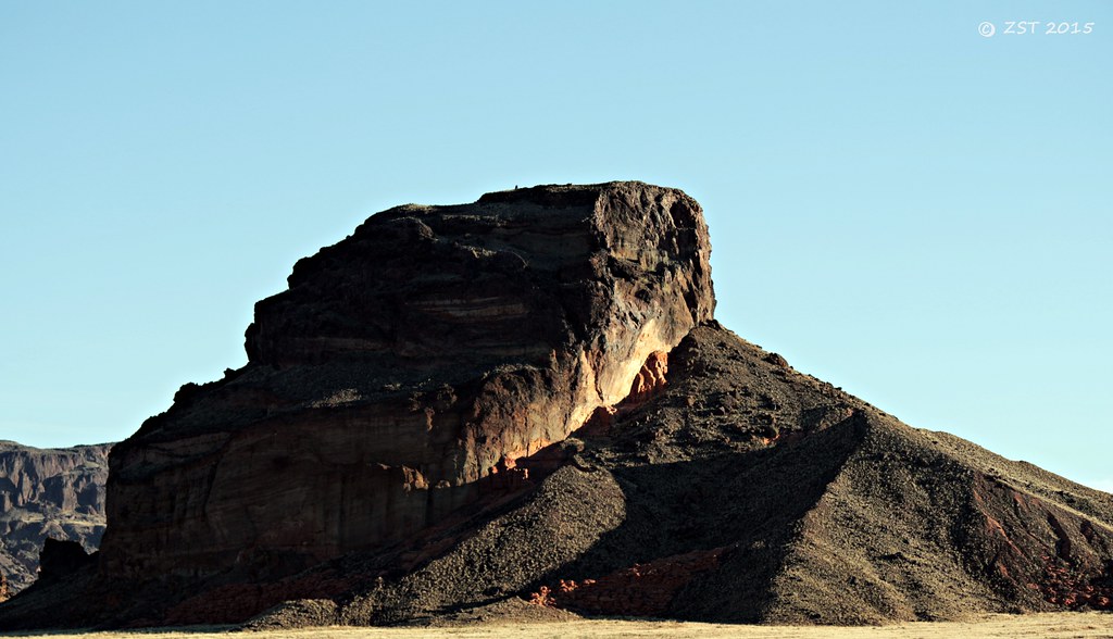
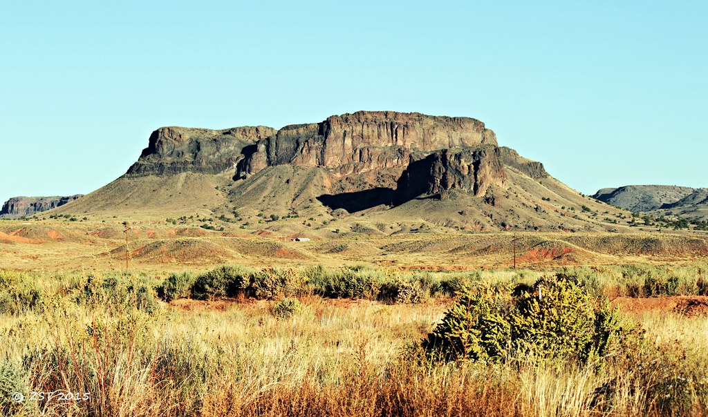
Butte at Indian Wells

Twin Peaks

Gorilla Head Butte

Gorilla Head Butte

Twin Peaks
Ape Mountain
Twin Cones
Twin Cones
Mesaby Dog Spring, Indian Wells, AZ
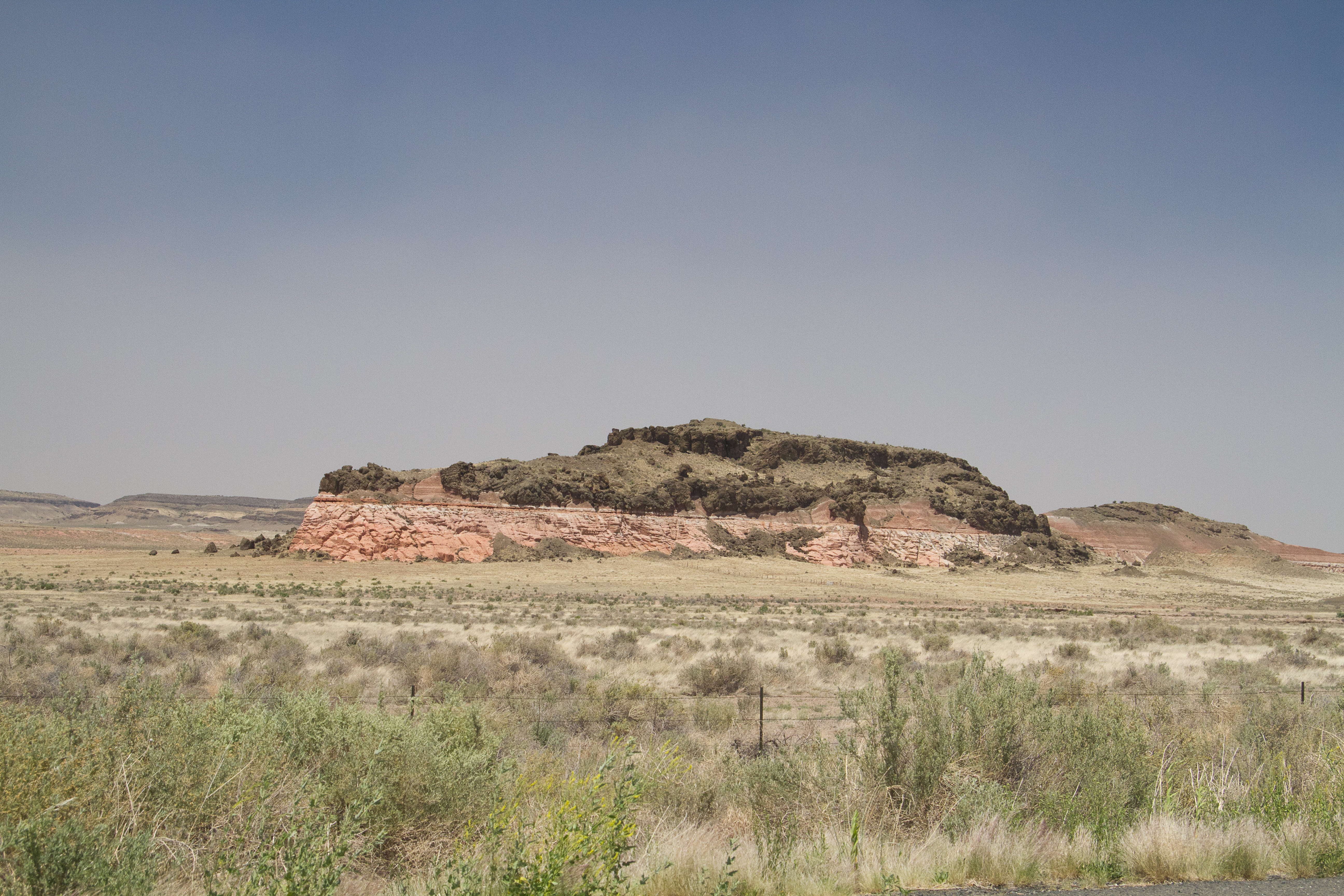
20110626103.jpg
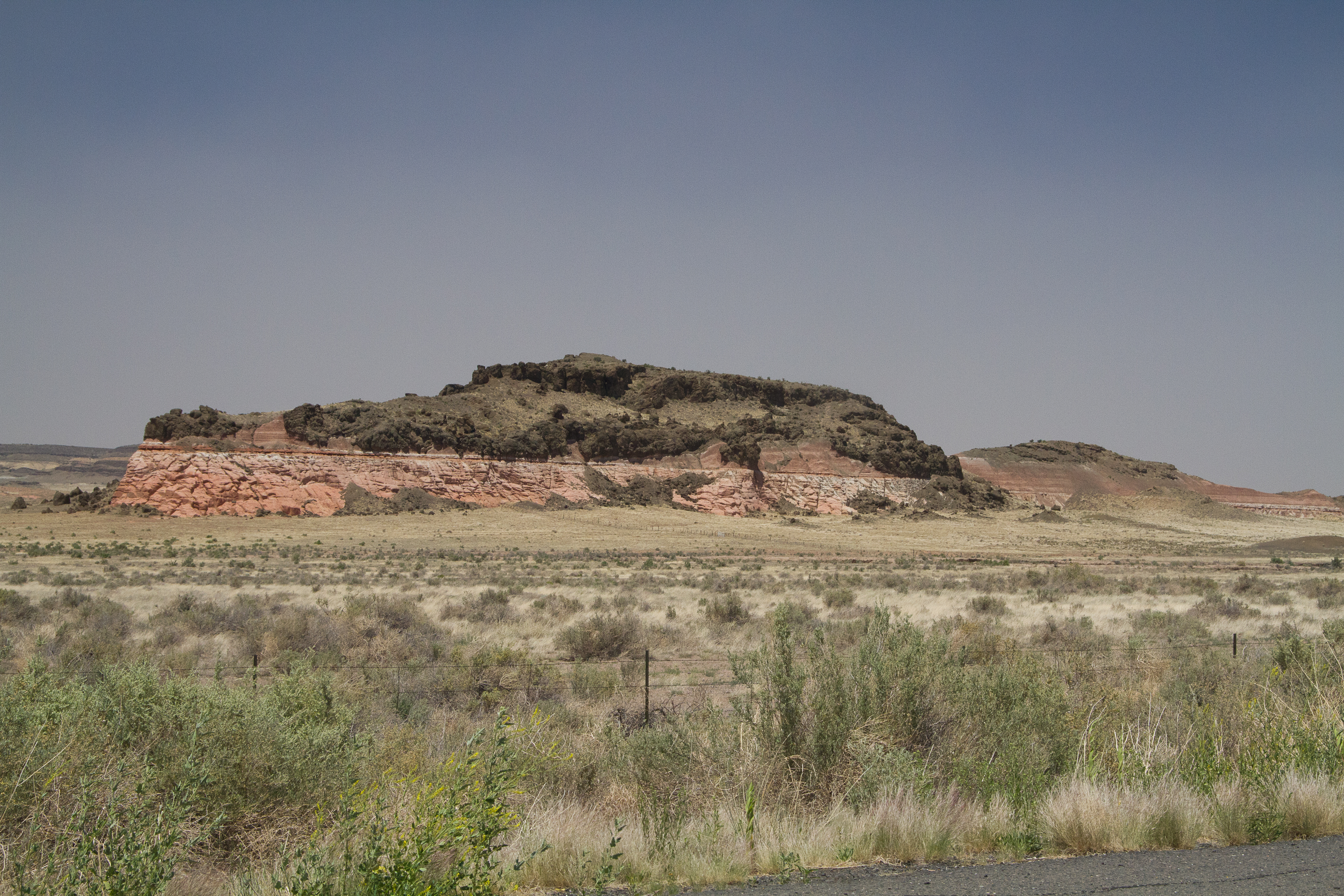
20110626104.jpg
Painted Desert #adventureisoutthere #exploreeverything #hiking #hikingadventures #adventure #adventureawaits #todsl #hiking #desert #arizona #arizonahiking #explorearizona #arizonaroadtrip #nofilterneeded #painteddesert #blue

Smoke in the Hollow
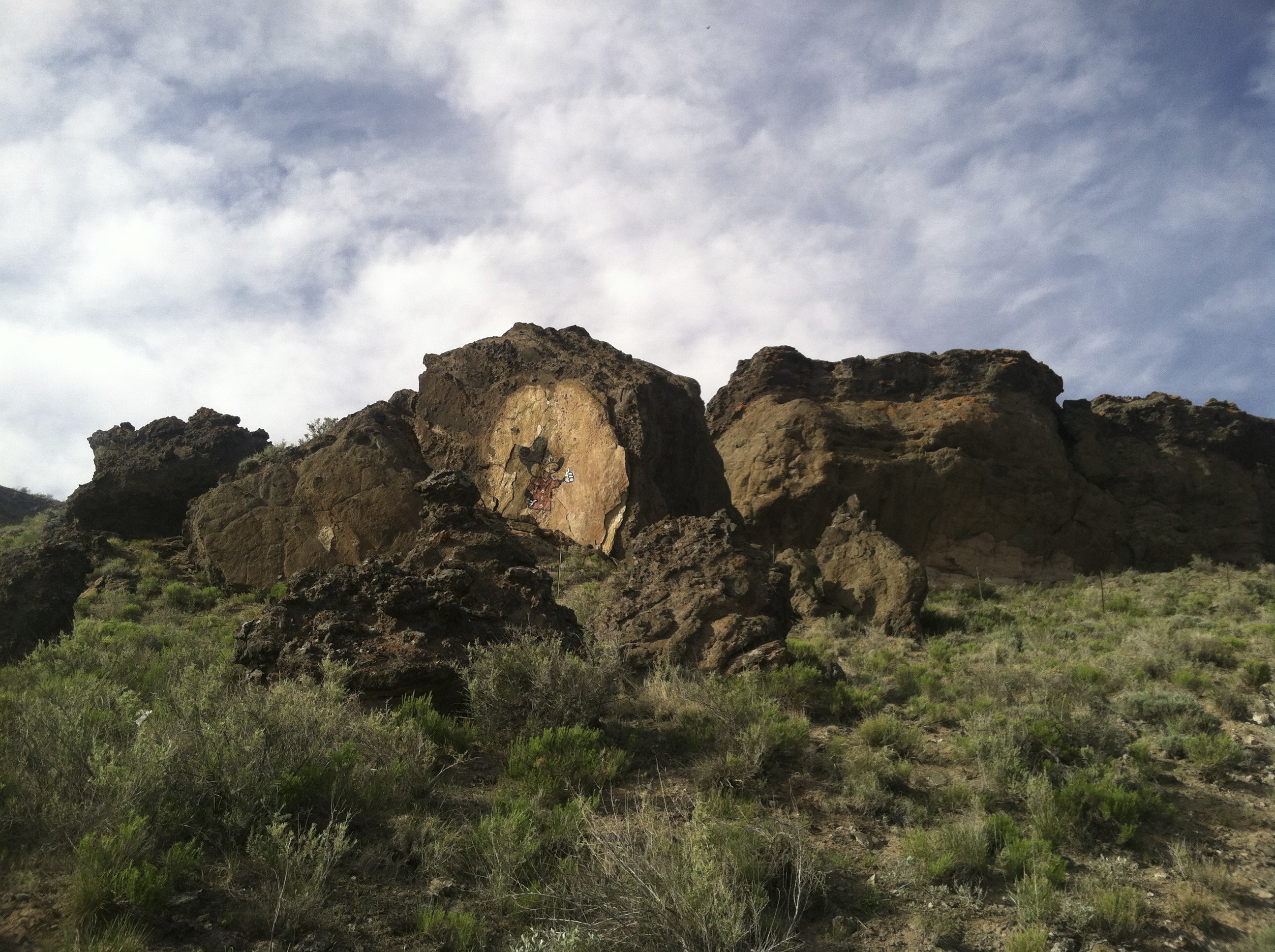
Mickey Mouse Canyon
Topographic Map of Indian Wells, AZ, USA
Find elevation by address:

Places near Indian Wells, AZ, USA:
Navajo County
Na Ah Tee
Painted Desert
Holbrook Unified School District
Arizona 264
Cornfield's Road
Hopi Health Care Center
First Mesa
Polacca
Polacca Post Office
Mishongnovi
Mishongnovi Community Center
Sunlight Community Church
Second Mesa
United States Postal Service
Main St, Kykotsmovi, AZ, USA
Kykotsmovi
Kykotsmovi Village
Leupp
Rough Rock
Recent Searches:
- Elevation of 2881, Chabot Drive, San Bruno, San Mateo County, California, 94066, USA
- Elevation of 10370, West 107th Circle, Westminster, Jefferson County, Colorado, 80021, USA
- Elevation of 611, Roman Road, Old Ford, Bow, London, England, E3 2RW, United Kingdom
- Elevation of 116, Beartown Road, Underhill, Chittenden County, Vermont, 05489, USA
- Elevation of Window Rock, Colfax County, New Mexico, 87714, USA
- Elevation of 4807, Rosecroft Street, Kempsville Gardens, Virginia Beach, Virginia, 23464, USA
- Elevation map of Matawinie, Quebec, Canada
- Elevation of Sainte-Émélie-de-l'Énergie, Matawinie, Quebec, Canada
- Elevation of Rue du Pont, Sainte-Émélie-de-l'Énergie, Matawinie, Quebec, J0K2K0, Canada
- Elevation of 8, Rue de Bécancour, Blainville, Thérèse-De Blainville, Quebec, J7B1N2, Canada
- Elevation of Wilmot Court North, 163, University Avenue West, Northdale, Waterloo, Region of Waterloo, Ontario, N2L6B6, Canada
- Elevation map of Panamá Province, Panama
- Elevation of Balboa, Panamá Province, Panama
- Elevation of San Miguel, Balboa, Panamá Province, Panama
- Elevation of Isla Gibraleón, San Miguel, Balboa, Panamá Province, Panama
- Elevation of 4655, Krischke Road, Schulenburg, Fayette County, Texas, 78956, USA
- Elevation of Carnegie Avenue, Downtown Cleveland, Cleveland, Cuyahoga County, Ohio, 44115, USA
- Elevation of Walhonding, Coshocton County, Ohio, USA
- Elevation of Clifton Down, Clifton, Bristol, City of Bristol, England, BS8 3HU, United Kingdom
- Elevation map of Auvergne-Rhône-Alpes, France