Elevation of Cornfield's Road, Cornfield's Rd, Ganado, AZ, USA
Location: United States > Arizona > Ganado >
Longitude: -109.69439
Latitude: 35.58863
Elevation: 1964m / 6444feet
Barometric Pressure: 80KPa
Elevation Map:
Satellite Map:
Related Photos:
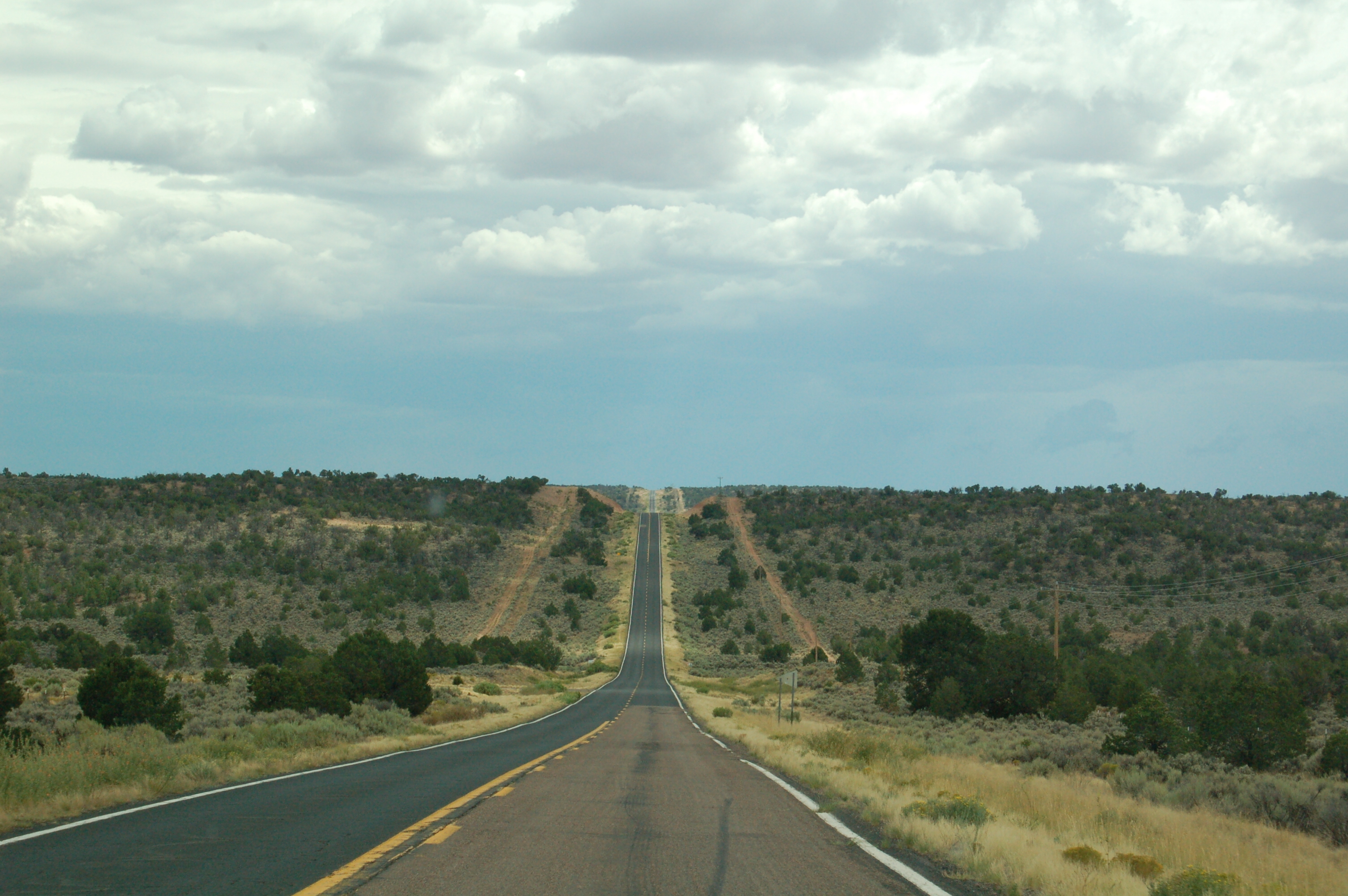
DSC_7823.JPG

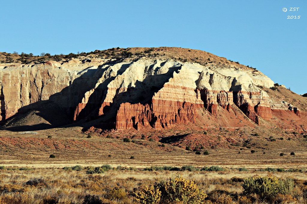
Morning Cliffscape
Morning Light

Water is life..

Overstekende koeien
Topographic Map of Cornfield's Road, Cornfield's Rd, Ganado, AZ, USA
Find elevation by address:

Places near Cornfield's Road, Cornfield's Rd, Ganado, AZ, USA:
Painted Desert
Indian Wells
Na Ah Tee
Navajo County
Holbrook Unified School District
Arizona 264
First Mesa
Polacca
Polacca Post Office
Hopi Health Care Center
Mishongnovi
Mishongnovi Community Center
Sunlight Community Church
Second Mesa
Rough Rock
United States Postal Service
Kykotsmovi
Main St, Kykotsmovi, AZ, USA
Kykotsmovi Village
Leupp
Recent Searches:
- Elevation of Corso Fratelli Cairoli, 35, Macerata MC, Italy
- Elevation of Tallevast Rd, Sarasota, FL, USA
- Elevation of 4th St E, Sonoma, CA, USA
- Elevation of Black Hollow Rd, Pennsdale, PA, USA
- Elevation of Oakland Ave, Williamsport, PA, USA
- Elevation of Pedrógão Grande, Portugal
- Elevation of Klee Dr, Martinsburg, WV, USA
- Elevation of Via Roma, Pieranica CR, Italy
- Elevation of Tavkvetili Mountain, Georgia
- Elevation of Hartfords Bluff Cir, Mt Pleasant, SC, USA