Elevation of Leupp, AZ, USA
Location: United States > Arizona > Coconino County >
Longitude: -111.00625
Latitude: 35.2980659
Elevation: 1453m / 4767feet
Barometric Pressure: 85KPa
Elevation Map:
Satellite Map:
Related Photos:

Lesser Sand-Plover

Lesser Sand-Plover
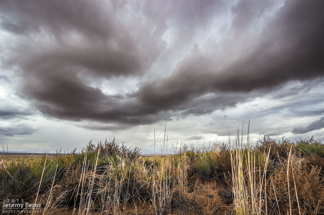
Leupp Vortex

Cinder Cone - Navajo Country

Grand Falls 047

Lesser Sand-Plover

Lesser Sand-Plover

Lesser Sand-Plover

#bookmobile #sweet #libraryonwheels #books #az #navajo #navajonation #leuppchapter #LeuppAZ

There was an accident

Leupp, Az
Leupp, Az

Sharing Stories - Leupp, Az.

Silhouette Bridge

Red Ocean
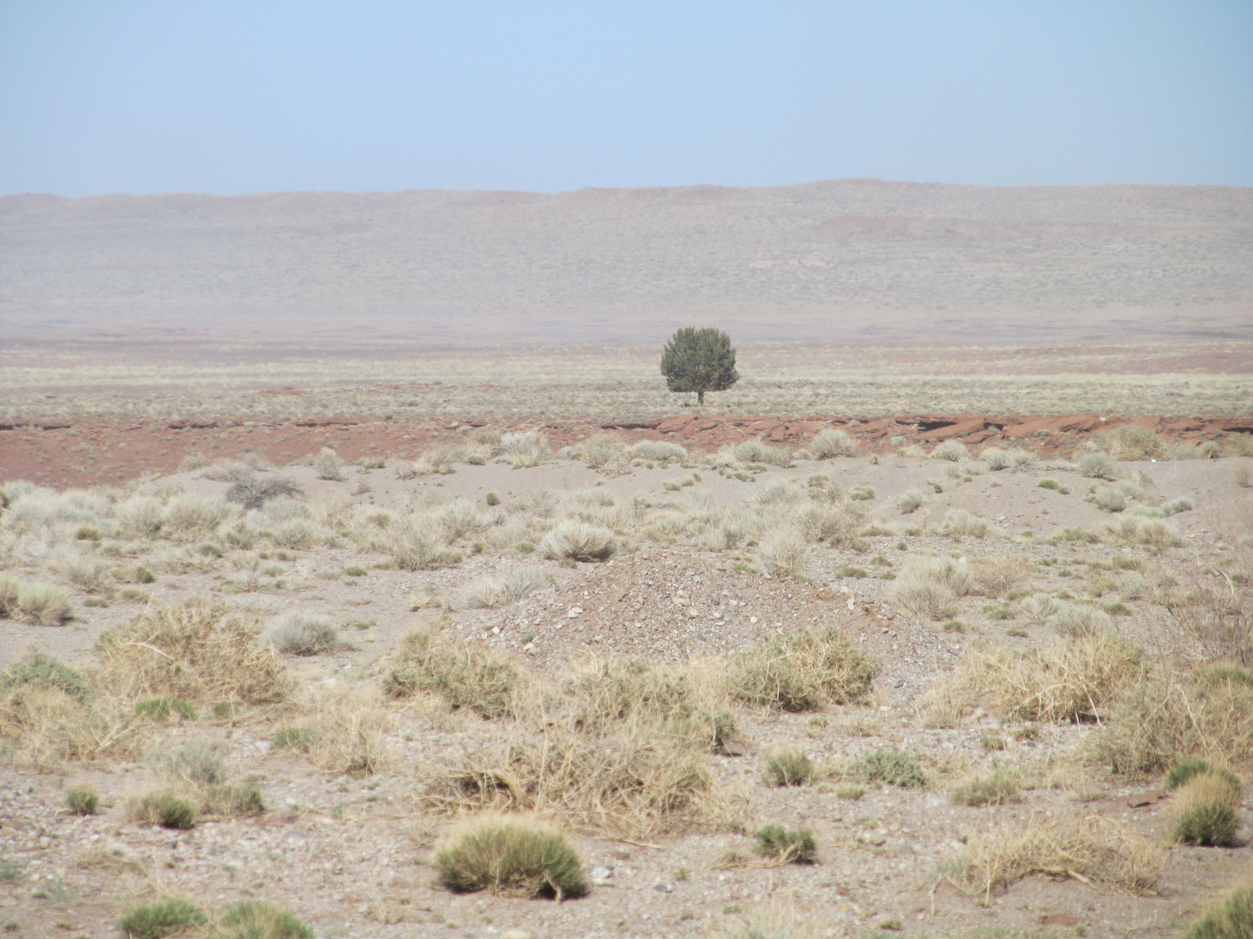
The road to Grand Falls Az

_DSC4151 Dust Storm

_DSC4142 Dust storm on Route 99, Arizona
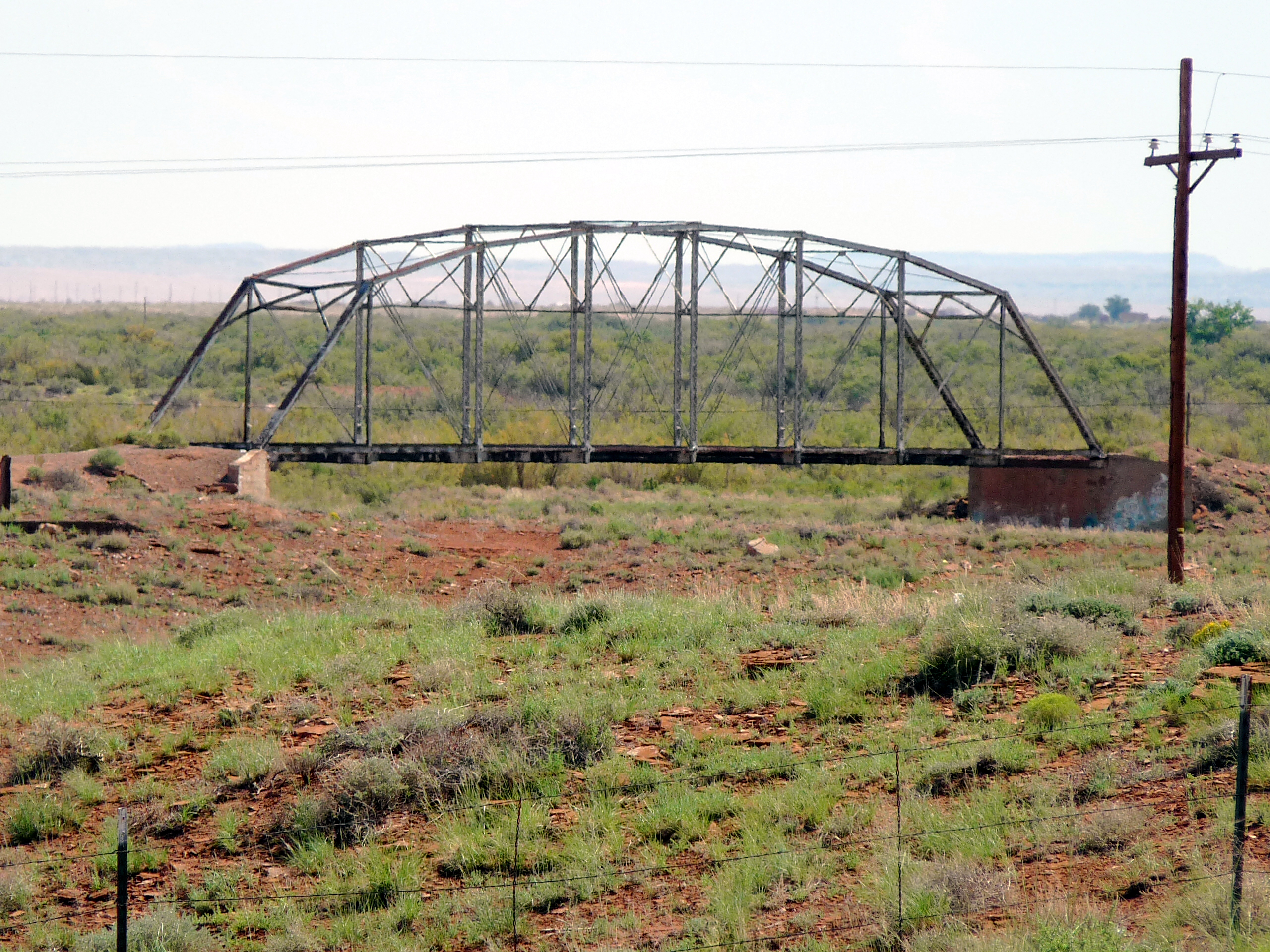
0223 Arizona, Leupp, I40-SR99, National Historic Bridge 1
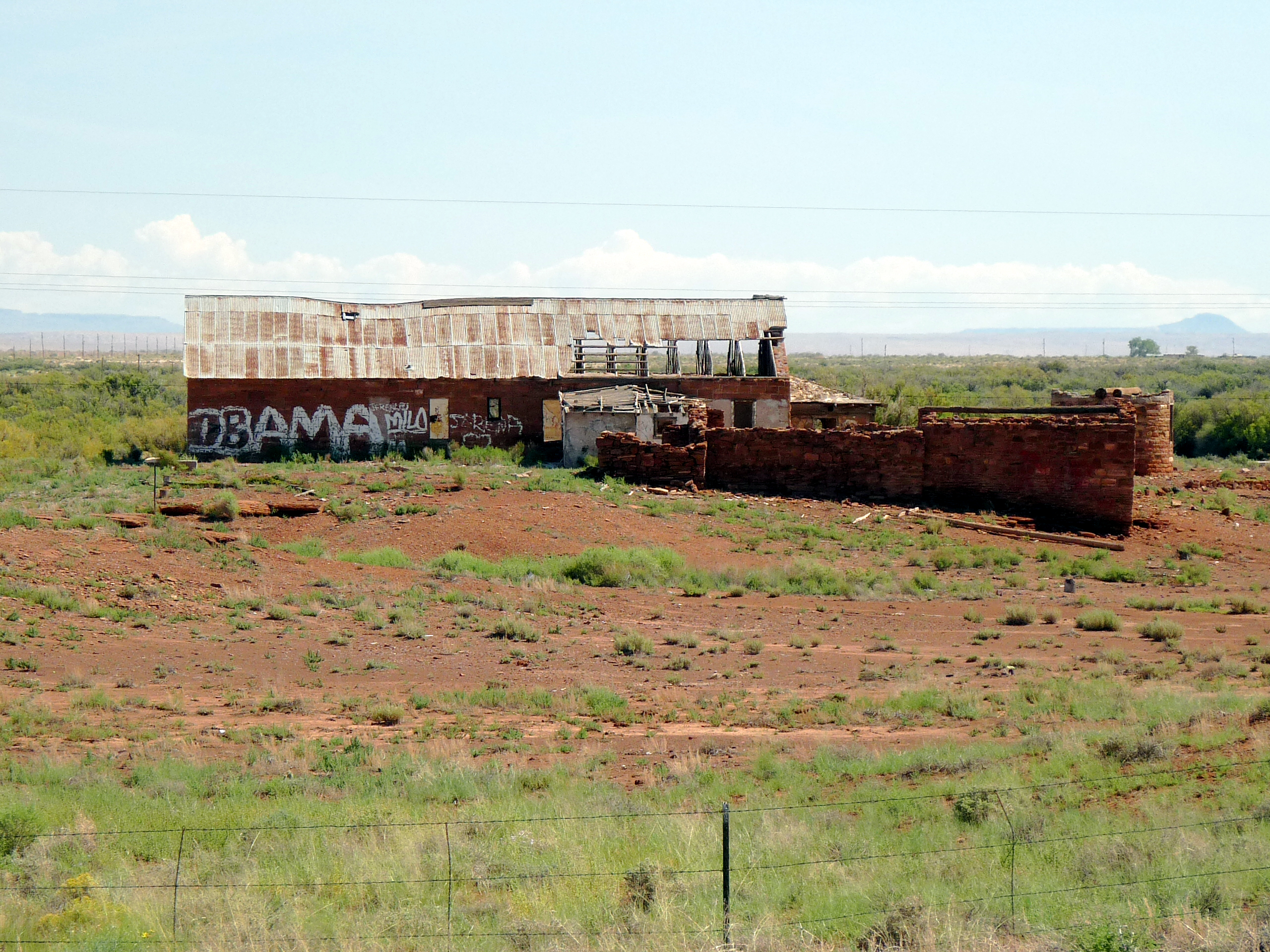
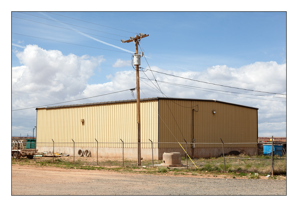
0224 Arizona, Leupp, I40-SR99, Derelict Building
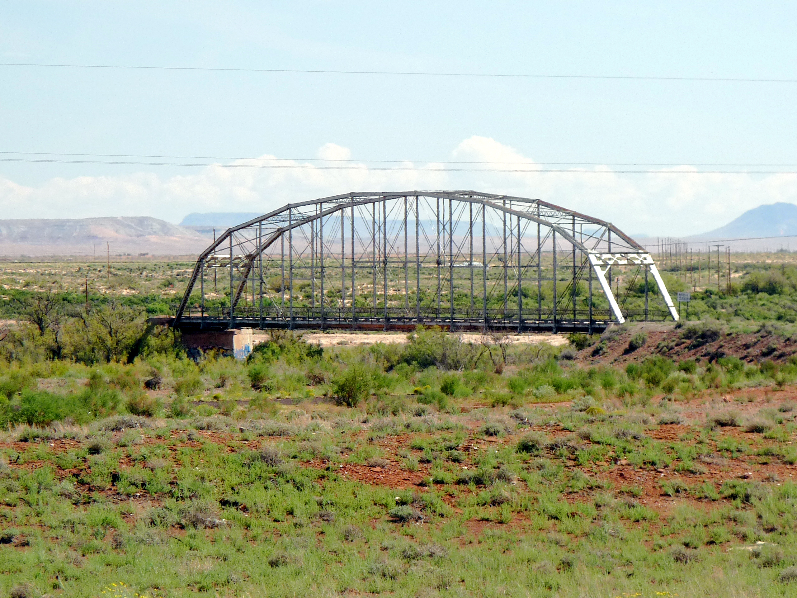
0225 Arizona, Leupp, I40-SR99, National Historic Bridge 2
Topographic Map of Leupp, AZ, USA
Find elevation by address:

Places in Leupp, AZ, USA:
Places near Leupp, AZ, USA:
Main St, Kykotsmovi, AZ, USA
Kykotsmovi Village
Kykotsmovi
Mishongnovi Community Center
Sunlight Community Church
Second Mesa
United States Postal Service
Mishongnovi
Coal Mine Canyon
Hopi Health Care Center
Polacca Post Office
First Mesa
Polacca
Navajo County
Na Ah Tee
Indian Wells
Painted Desert
Arizona 264
Holbrook Unified School District
Tonalea
Recent Searches:
- Elevation of Corso Fratelli Cairoli, 35, Macerata MC, Italy
- Elevation of Tallevast Rd, Sarasota, FL, USA
- Elevation of 4th St E, Sonoma, CA, USA
- Elevation of Black Hollow Rd, Pennsdale, PA, USA
- Elevation of Oakland Ave, Williamsport, PA, USA
- Elevation of Pedrógão Grande, Portugal
- Elevation of Klee Dr, Martinsburg, WV, USA
- Elevation of Via Roma, Pieranica CR, Italy
- Elevation of Tavkvetili Mountain, Georgia
- Elevation of Hartfords Bluff Cir, Mt Pleasant, SC, USA