Elevation of Hopi Health Care Center, Highway Mile Post, Polacca, AZ, USA
Location: United States > Arizona > Navajo County > First Mesa > Polacca >
Longitude: -110.4260281
Latitude: 35.8022226
Elevation: 1704m / 5591feet
Barometric Pressure: 0KPa
Related Photos:

Flowered Mesa

House with a View

Navajo Nation | Arizona | Turquoise Hogan with Matching House and Tire Fence

The Morning Glory

Big rock.

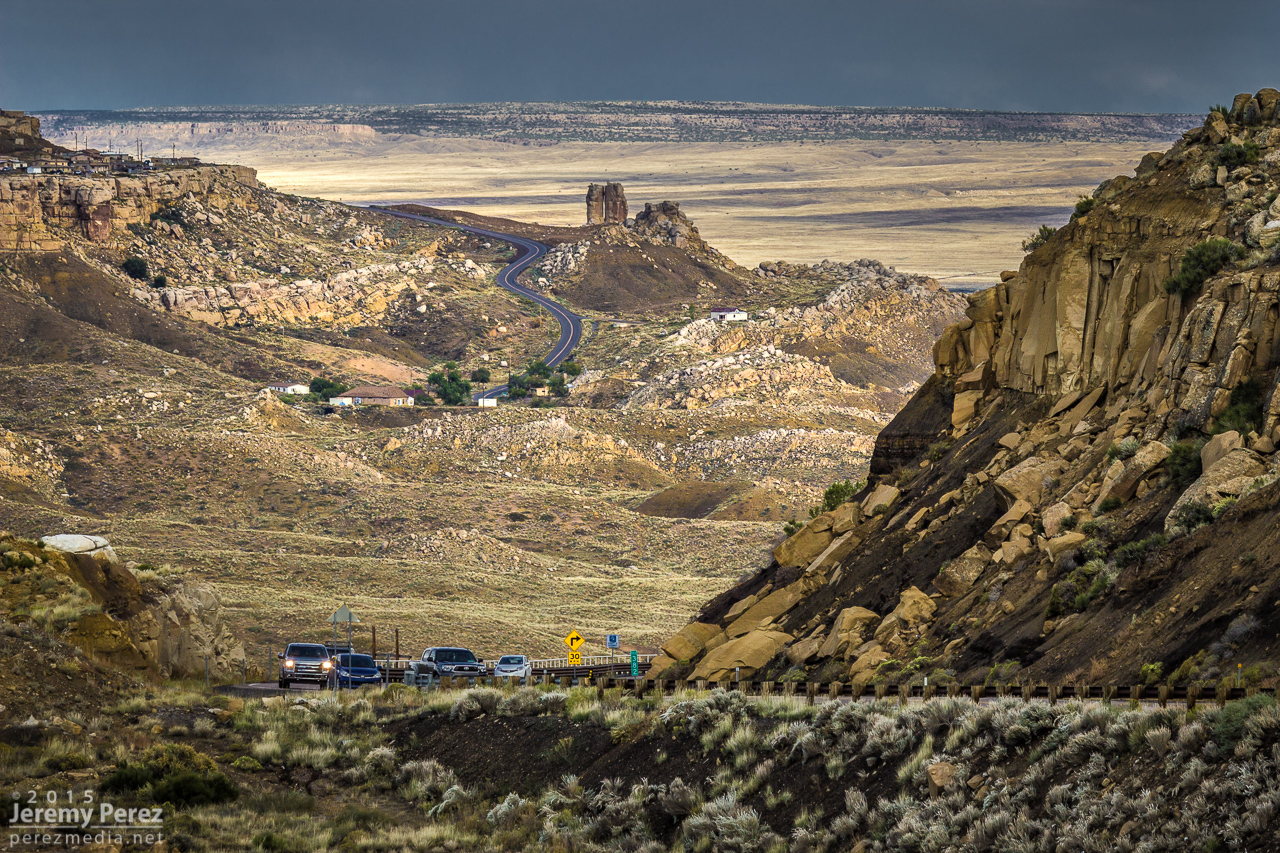
Rain Forecast

Lone Hill
Road to Mishongnovi
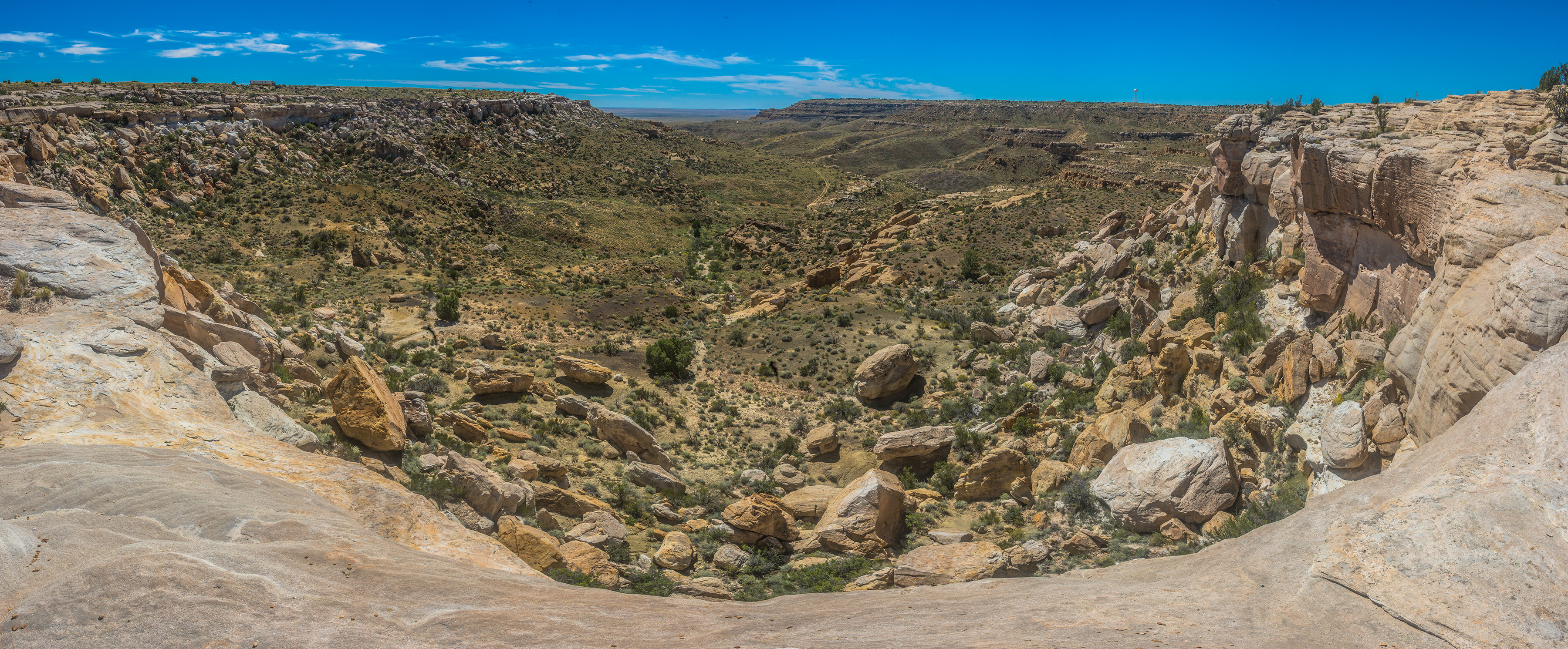
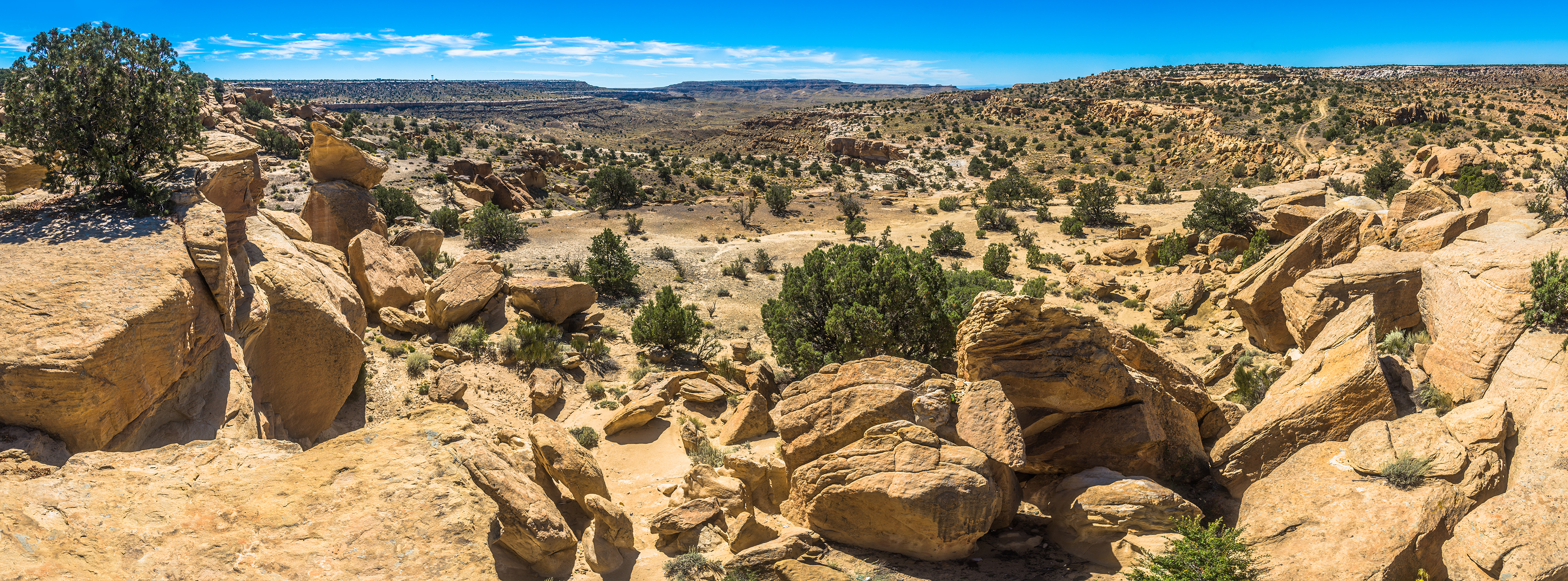
DSC_4848-Pano
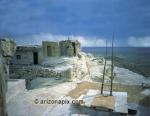
Village Made Of Rock
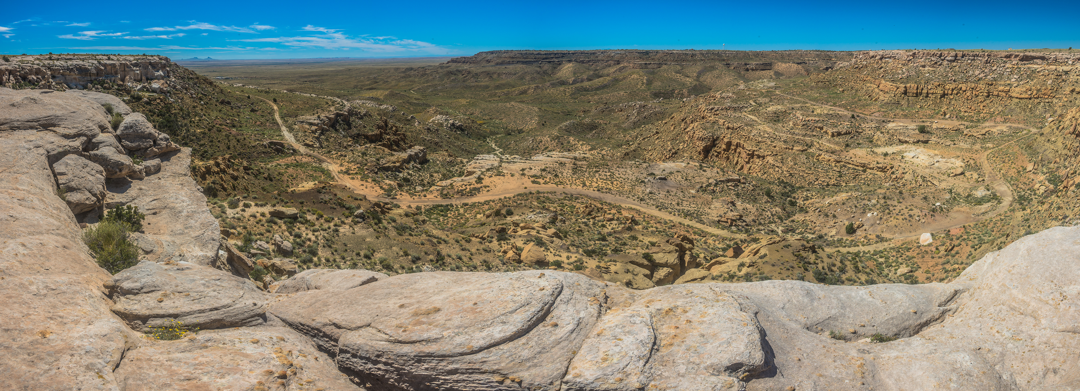
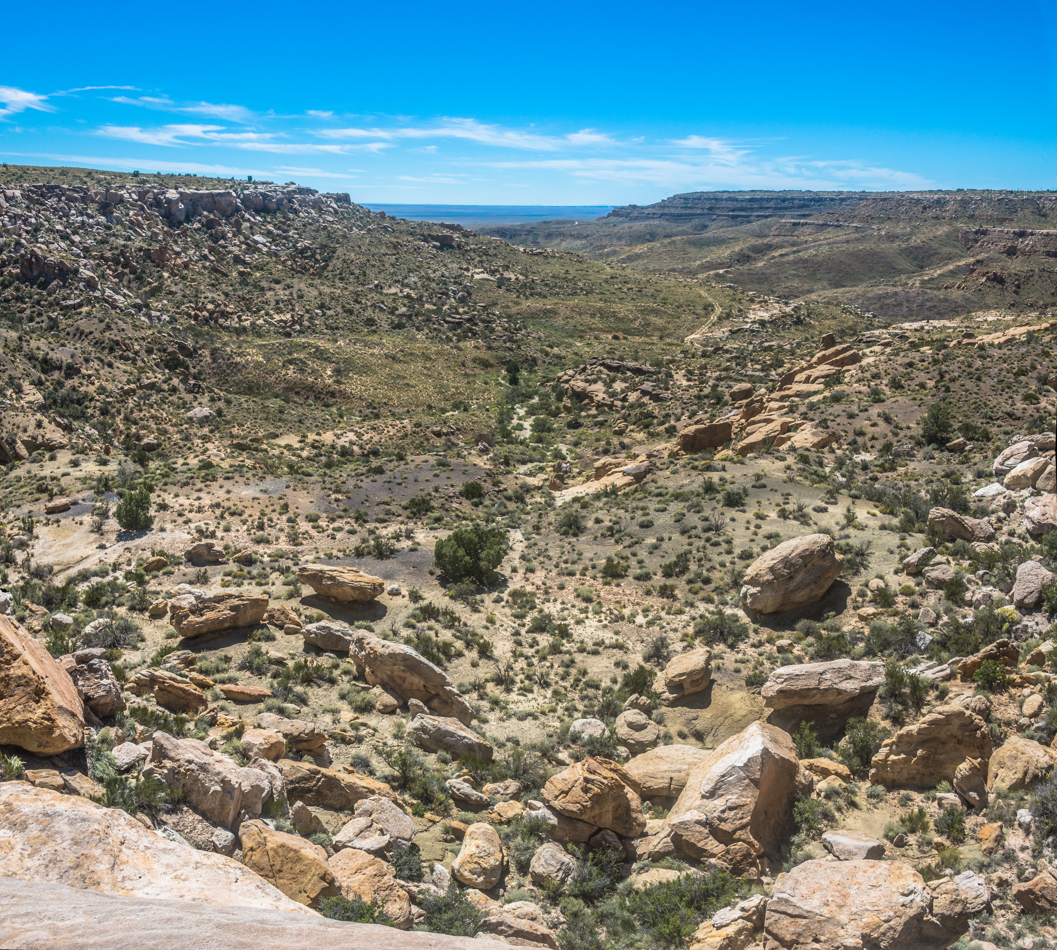
DSC_4858-Pano
DSC_4815-Pano

DSC_4817-Pano
DSC_4839-Pano

Flight to chicago
Topographic Map of Hopi Health Care Center, Highway Mile Post, Polacca, AZ, USA
Find elevation by address:

Places near Hopi Health Care Center, Highway Mile Post, Polacca, AZ, USA:
Polacca Post Office
First Mesa
Polacca
Mishongnovi
Mishongnovi Community Center
Sunlight Community Church
Second Mesa
United States Postal Service
Main St, Kykotsmovi, AZ, USA
Kykotsmovi
Kykotsmovi Village
Arizona 264
Na Ah Tee
Painted Desert
Navajo County
Indian Wells
Coal Mine Canyon
Elephants Feet Rest Area
Holbrook Unified School District
Tonalea
Recent Searches:
- Elevation of 2881, Chabot Drive, San Bruno, San Mateo County, California, 94066, USA
- Elevation of 10370, West 107th Circle, Westminster, Jefferson County, Colorado, 80021, USA
- Elevation of 611, Roman Road, Old Ford, Bow, London, England, E3 2RW, United Kingdom
- Elevation of 116, Beartown Road, Underhill, Chittenden County, Vermont, 05489, USA
- Elevation of Window Rock, Colfax County, New Mexico, 87714, USA
- Elevation of 4807, Rosecroft Street, Kempsville Gardens, Virginia Beach, Virginia, 23464, USA
- Elevation map of Matawinie, Quebec, Canada
- Elevation of Sainte-Émélie-de-l'Énergie, Matawinie, Quebec, Canada
- Elevation of Rue du Pont, Sainte-Émélie-de-l'Énergie, Matawinie, Quebec, J0K2K0, Canada
- Elevation of 8, Rue de Bécancour, Blainville, Thérèse-De Blainville, Quebec, J7B1N2, Canada
- Elevation of Wilmot Court North, 163, University Avenue West, Northdale, Waterloo, Region of Waterloo, Ontario, N2L6B6, Canada
- Elevation map of Panamá Province, Panama
- Elevation of Balboa, Panamá Province, Panama
- Elevation of San Miguel, Balboa, Panamá Province, Panama
- Elevation of Isla Gibraleón, San Miguel, Balboa, Panamá Province, Panama
- Elevation of 4655, Krischke Road, Schulenburg, Fayette County, Texas, 78956, USA
- Elevation of Carnegie Avenue, Downtown Cleveland, Cleveland, Cuyahoga County, Ohio, 44115, USA
- Elevation of Walhonding, Coshocton County, Ohio, USA
- Elevation of Clifton Down, Clifton, Bristol, City of Bristol, England, BS8 3HU, United Kingdom
- Elevation map of Auvergne-Rhône-Alpes, France