Elevation of Main St, Kykotsmovi, AZ, USA
Location: United States > Arizona > Navajo County > Kykotsmovi Village > Kykotsmovi >
Longitude: -110.622473
Latitude: 35.868654
Elevation: 1722m / 5650feet
Barometric Pressure: 0KPa
Related Photos:
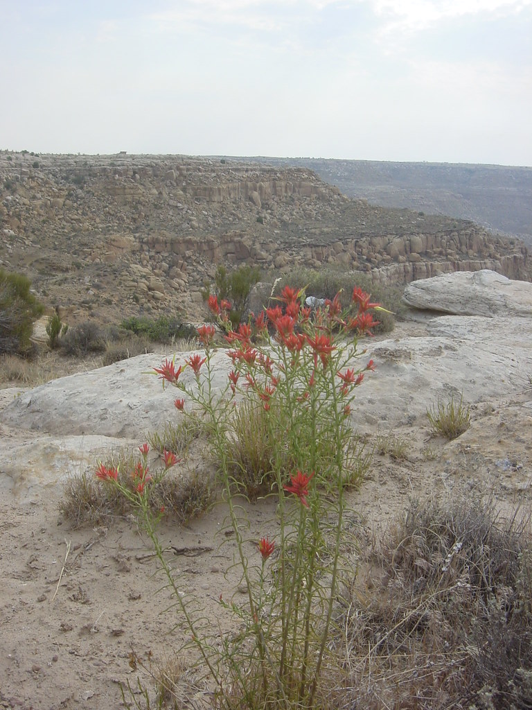
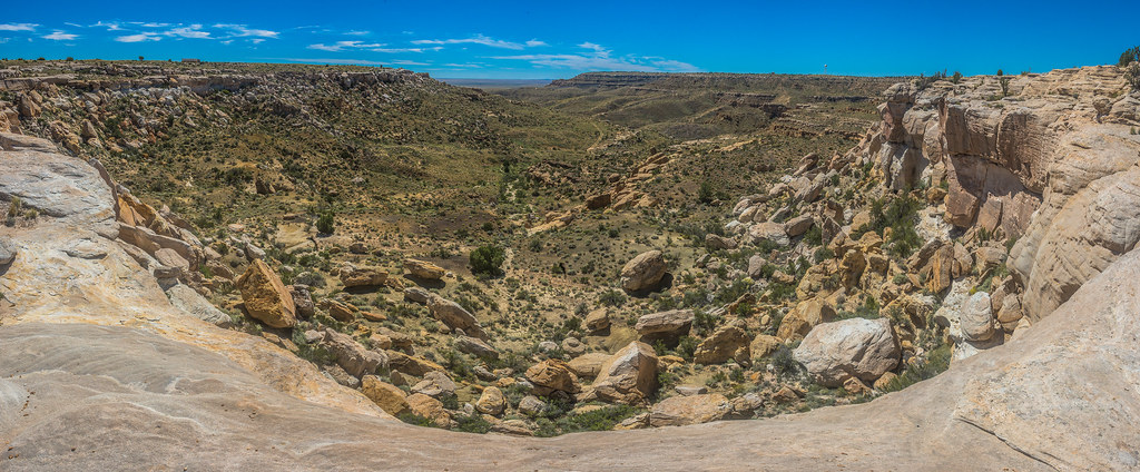
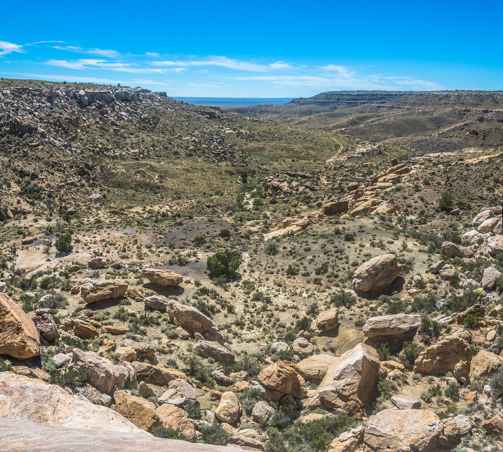
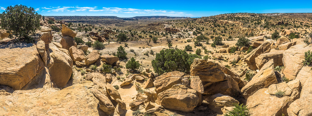
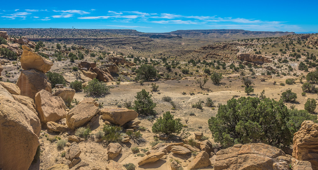
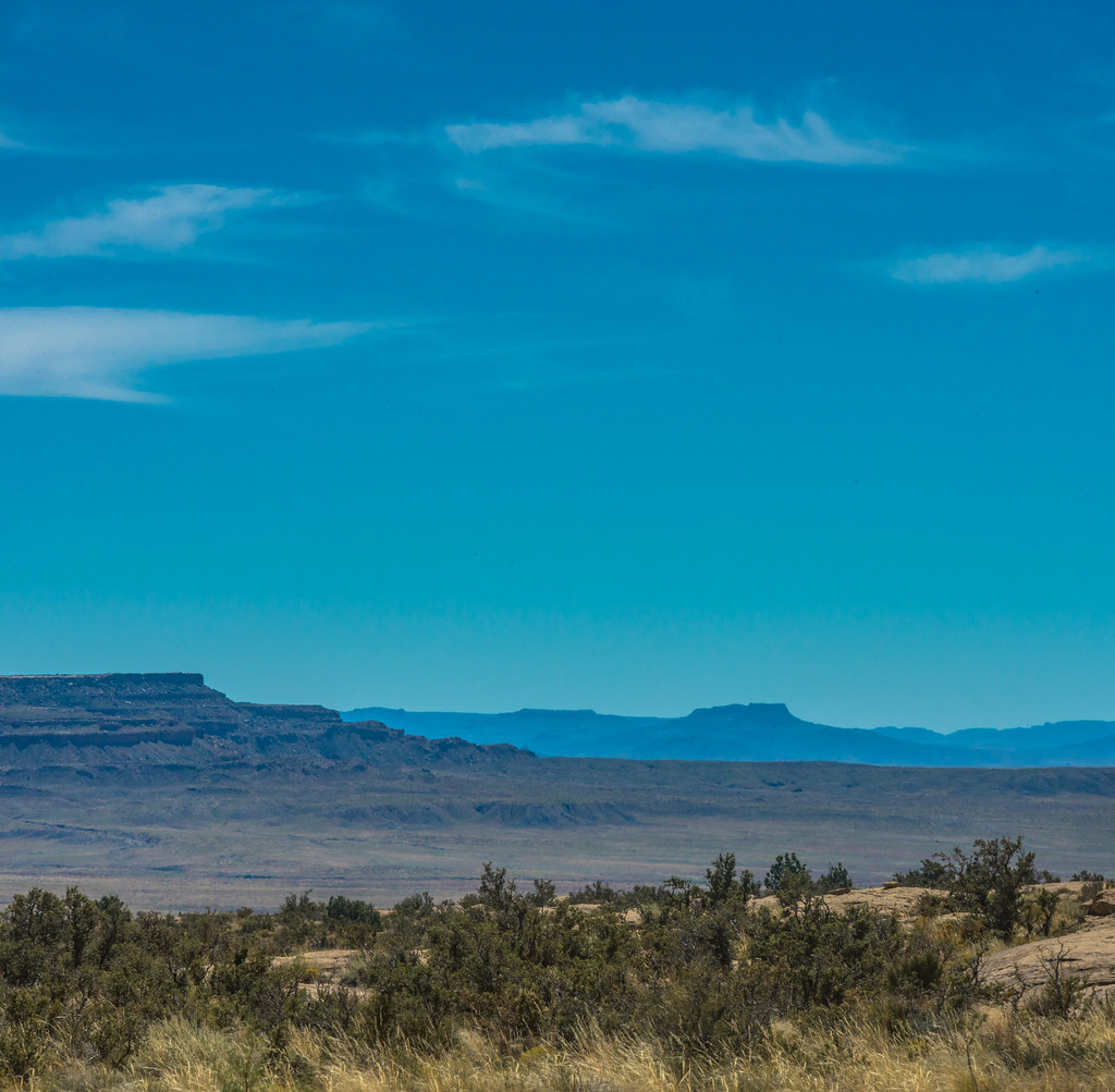
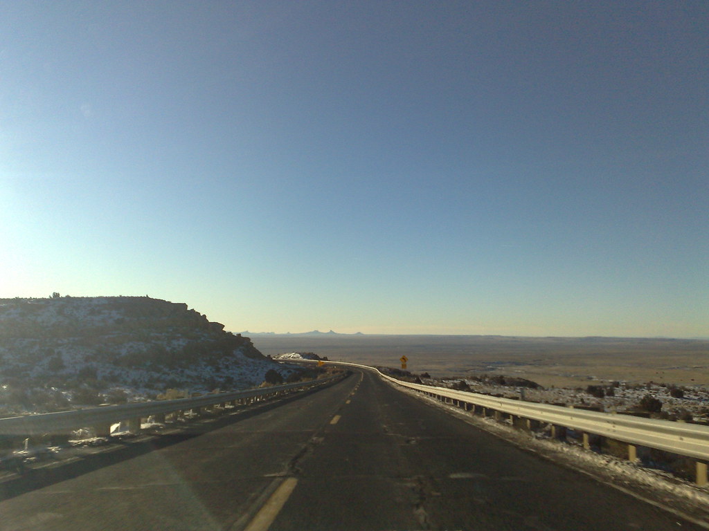
Flowered Mesa
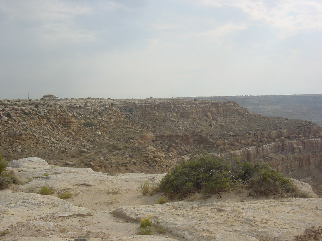
House with a View
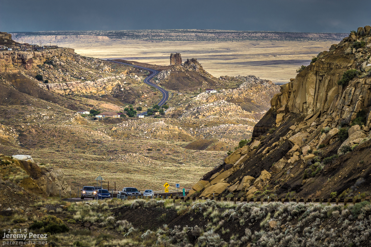
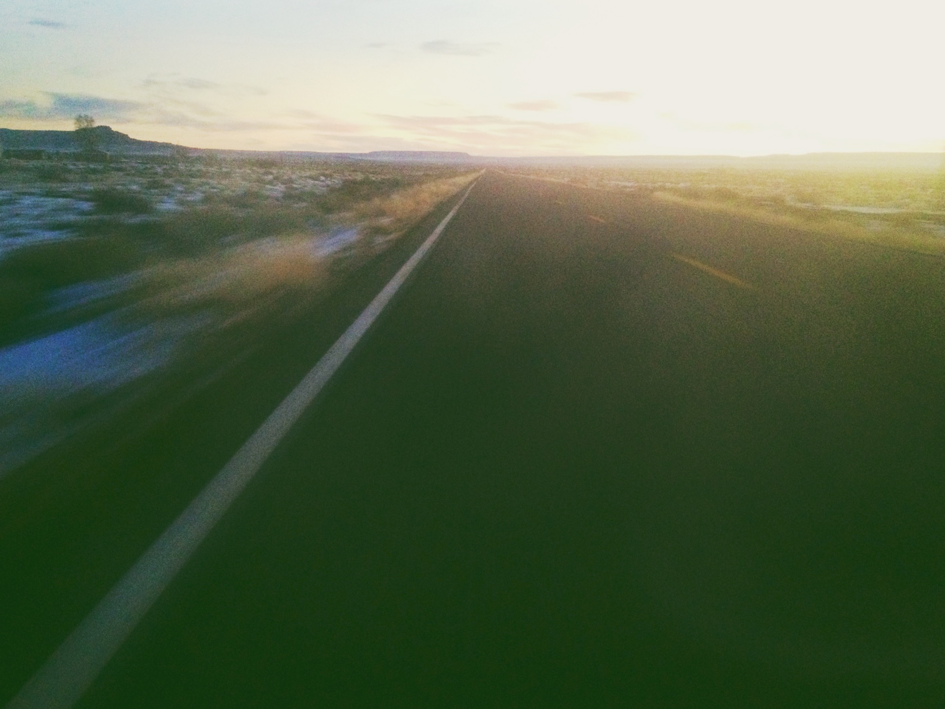
Road to Mishongnovi
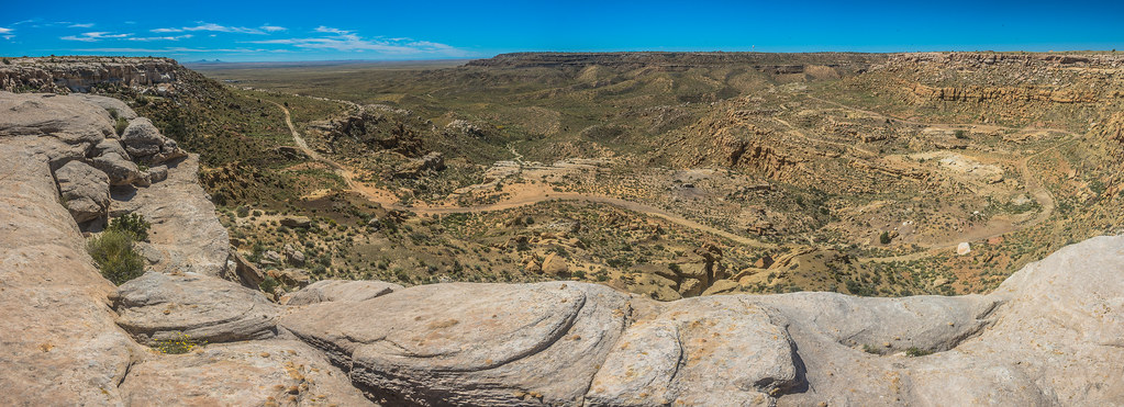
DSC_4858-Pano
DSC_4848-Pano
DSC_4839-Pano
DSC_4815-Pano
DSC_4817-Pano
DSC_4809-Pano
The Morning Glory
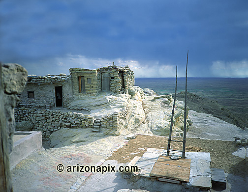
Village Made Of Rock
Hopi Indian reservation
ZoneTag Photo Saturday 8:40 am 12/27/08 Second Mesa, Arizona

Spanish built Catholic Church which has been struck by lightning twice.

Remnants of very old church.

The cliffs of Old Araibi.

Unimproved building.

The groove in the rock was carved out and filled with water. Kids would race twigs or leaves.

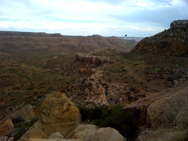
The cliffs looking out over the valley.
Topographic Map of Main St, Kykotsmovi, AZ, USA
Find elevation by address:

Places near Main St, Kykotsmovi, AZ, USA:
Kykotsmovi Village
Kykotsmovi
United States Postal Service
Mishongnovi Community Center
Sunlight Community Church
Second Mesa
Mishongnovi
Hopi Health Care Center
Polacca Post Office
First Mesa
Polacca
Coal Mine Canyon
Arizona 264
Elephants Feet Rest Area
Tonalea
Na Ah Tee
Painted Desert
Navajo County
Leupp
Indian Wells
Recent Searches:
- Elevation of 2881, Chabot Drive, San Bruno, San Mateo County, California, 94066, USA
- Elevation of 10370, West 107th Circle, Westminster, Jefferson County, Colorado, 80021, USA
- Elevation of 611, Roman Road, Old Ford, Bow, London, England, E3 2RW, United Kingdom
- Elevation of 116, Beartown Road, Underhill, Chittenden County, Vermont, 05489, USA
- Elevation of Window Rock, Colfax County, New Mexico, 87714, USA
- Elevation of 4807, Rosecroft Street, Kempsville Gardens, Virginia Beach, Virginia, 23464, USA
- Elevation map of Matawinie, Quebec, Canada
- Elevation of Sainte-Émélie-de-l'Énergie, Matawinie, Quebec, Canada
- Elevation of Rue du Pont, Sainte-Émélie-de-l'Énergie, Matawinie, Quebec, J0K2K0, Canada
- Elevation of 8, Rue de Bécancour, Blainville, Thérèse-De Blainville, Quebec, J7B1N2, Canada
- Elevation of Wilmot Court North, 163, University Avenue West, Northdale, Waterloo, Region of Waterloo, Ontario, N2L6B6, Canada
- Elevation map of Panamá Province, Panama
- Elevation of Balboa, Panamá Province, Panama
- Elevation of San Miguel, Balboa, Panamá Province, Panama
- Elevation of Isla Gibraleón, San Miguel, Balboa, Panamá Province, Panama
- Elevation of 4655, Krischke Road, Schulenburg, Fayette County, Texas, 78956, USA
- Elevation of Carnegie Avenue, Downtown Cleveland, Cleveland, Cuyahoga County, Ohio, 44115, USA
- Elevation of Walhonding, Coshocton County, Ohio, USA
- Elevation of Clifton Down, Clifton, Bristol, City of Bristol, England, BS8 3HU, United Kingdom
- Elevation map of Auvergne-Rhône-Alpes, France