Elevation of Harlan County, KY, USA
Location: United States > Kentucky >
Longitude: -83.207764
Latitude: 36.8890304
Elevation: 873m / 2864feet
Barometric Pressure: 91KPa
Elevation Map:
Satellite Map:
Related Photos:

Harlan - Clover Fork River Bridge
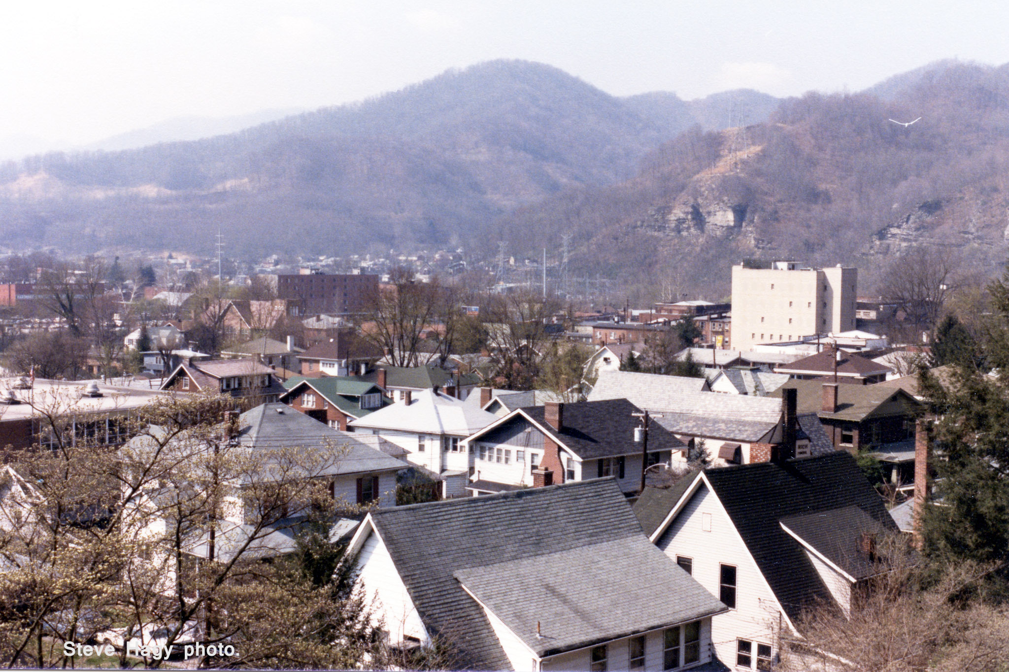
Harlan, Kentucky - April 1985 #2
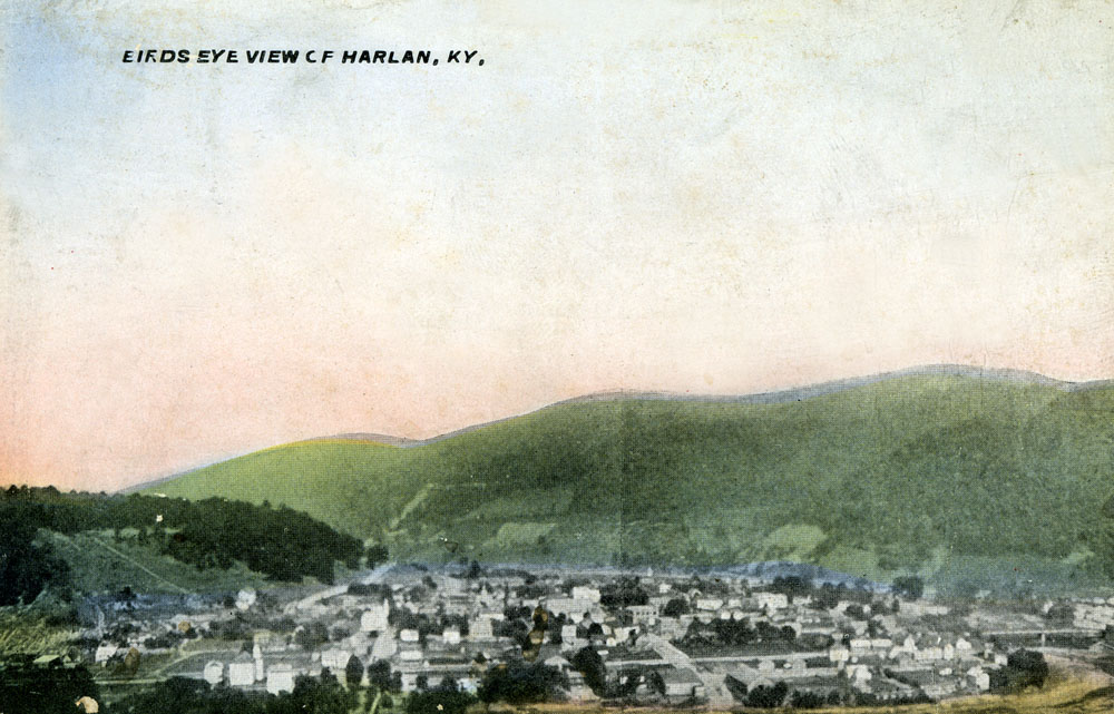
Birds Eye View of Harlan, Kentucky
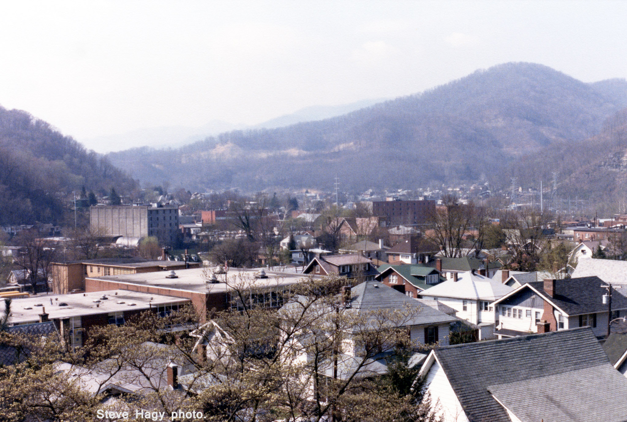
Harlan, Kentucky - April 1985 #1
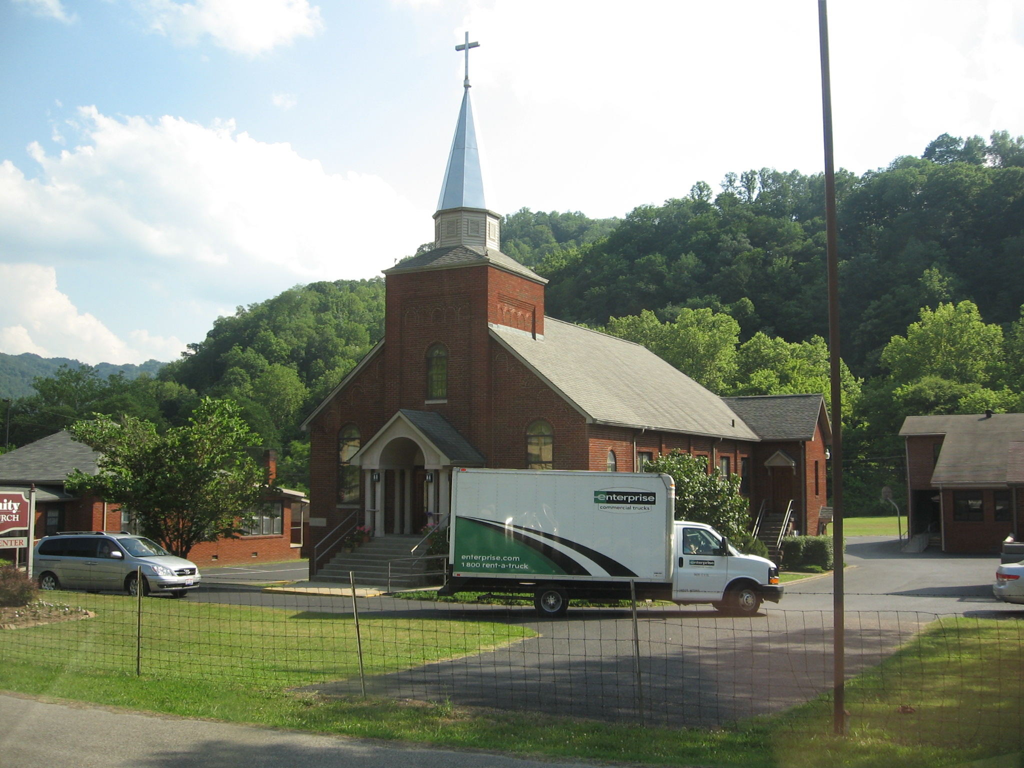
Rollin' In
Topographic Map of Harlan County, KY, USA
Find elevation by address:

Places in Harlan County, KY, USA:
Harlan
Cumberland
Benham
Wallins Creek
Cawood
Baxter
Bledsoe
KY-38, Evarts, KY, USA
Chad St, Evarts, KY, USA
Black Mountain
Gulston
Lynch
Places near Harlan County, KY, USA:
Chad St, Evarts, KY, USA
KY-38, Evarts, KY, USA
24 Peach Tree St, Harlan, KY, USA
40 12 Spot
Nola St, Cawood, KY, USA
Cawood
US-, Harlan, KY, USA
229 Baltic Dr
229 Baltic Dr
229 Baltic Dr
229 Baltic Dr
Saint Charles
State Rd, St Charles, VA, USA
St Charles Rd, St Charles, VA, USA
US-, Pennington Gap, VA, USA
5, VA, USA
503 Leigh Ave
159 Anderson St
Pennington Gap Waste Water
Pennington Gap
Recent Searches:
- Elevation of Corso Fratelli Cairoli, 35, Macerata MC, Italy
- Elevation of Tallevast Rd, Sarasota, FL, USA
- Elevation of 4th St E, Sonoma, CA, USA
- Elevation of Black Hollow Rd, Pennsdale, PA, USA
- Elevation of Oakland Ave, Williamsport, PA, USA
- Elevation of Pedrógão Grande, Portugal
- Elevation of Klee Dr, Martinsburg, WV, USA
- Elevation of Via Roma, Pieranica CR, Italy
- Elevation of Tavkvetili Mountain, Georgia
- Elevation of Hartfords Bluff Cir, Mt Pleasant, SC, USA