Elevation of Cawood, KY, USA
Location: United States > Kentucky > Harlan County >
Longitude: -83.228232
Latitude: 36.7839771
Elevation: 410m / 1345feet
Barometric Pressure: 96KPa
Elevation Map:
Satellite Map:
Related Photos:

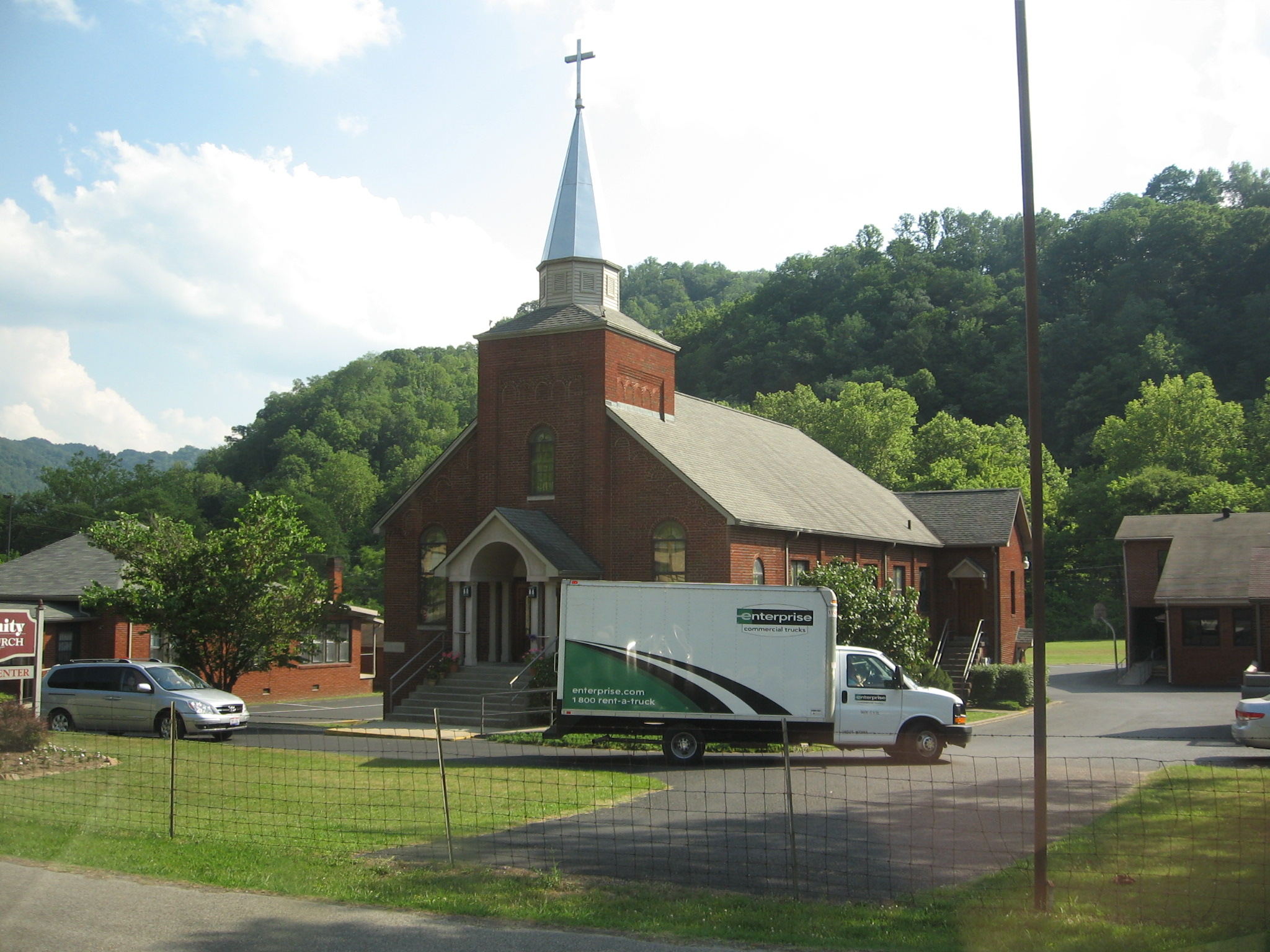
Tower House
Breaking Over the Rocks

Harlan - Clover Fork River Bridge
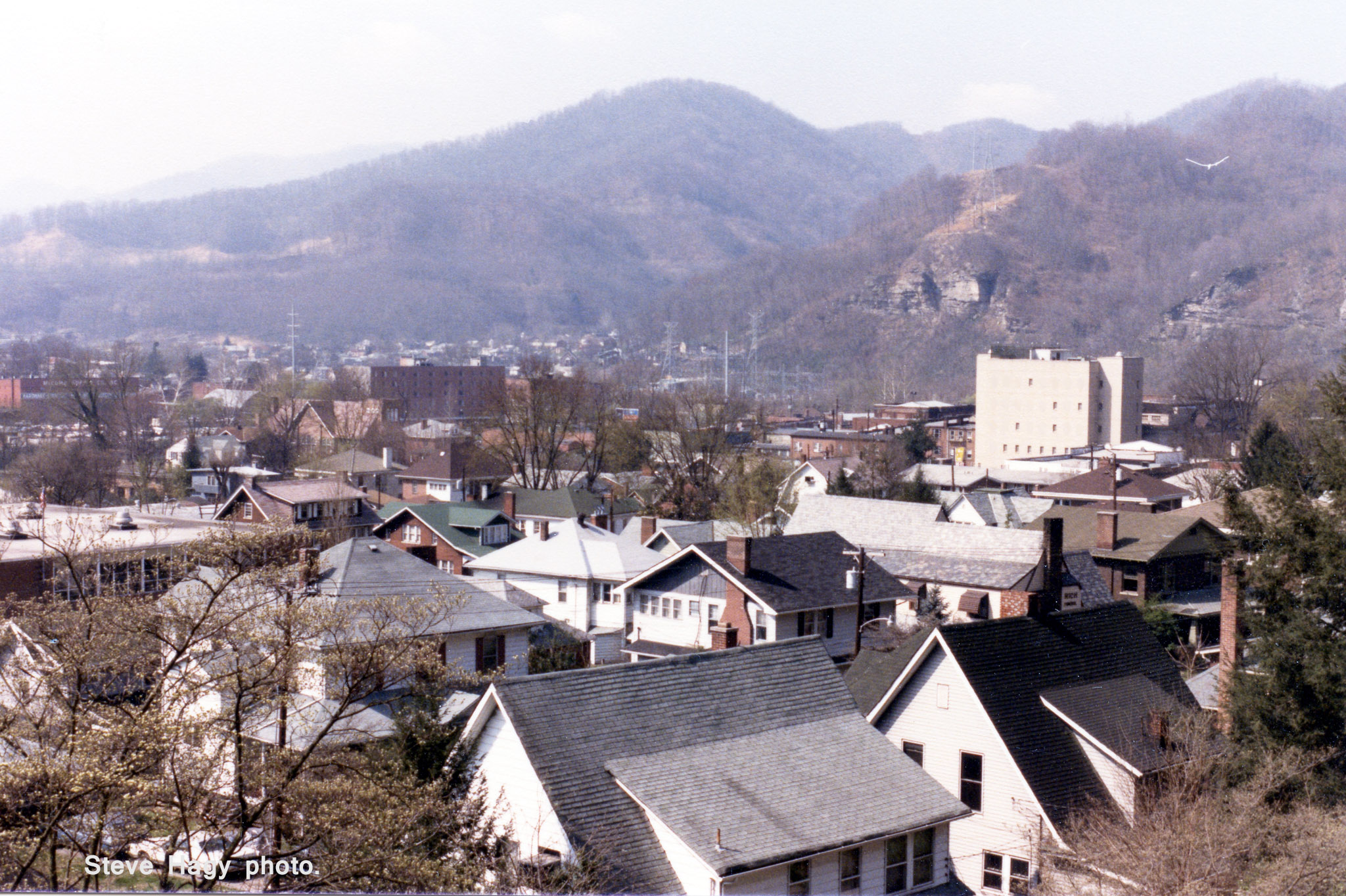
Harlan, Kentucky - April 1985 #2
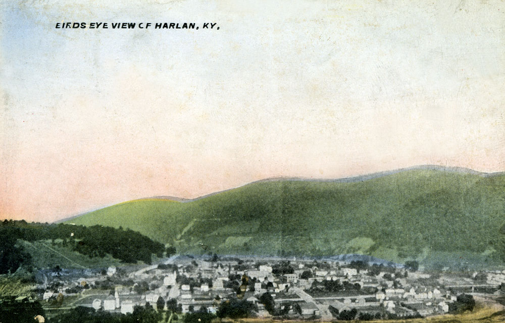
Birds Eye View of Harlan, Kentucky
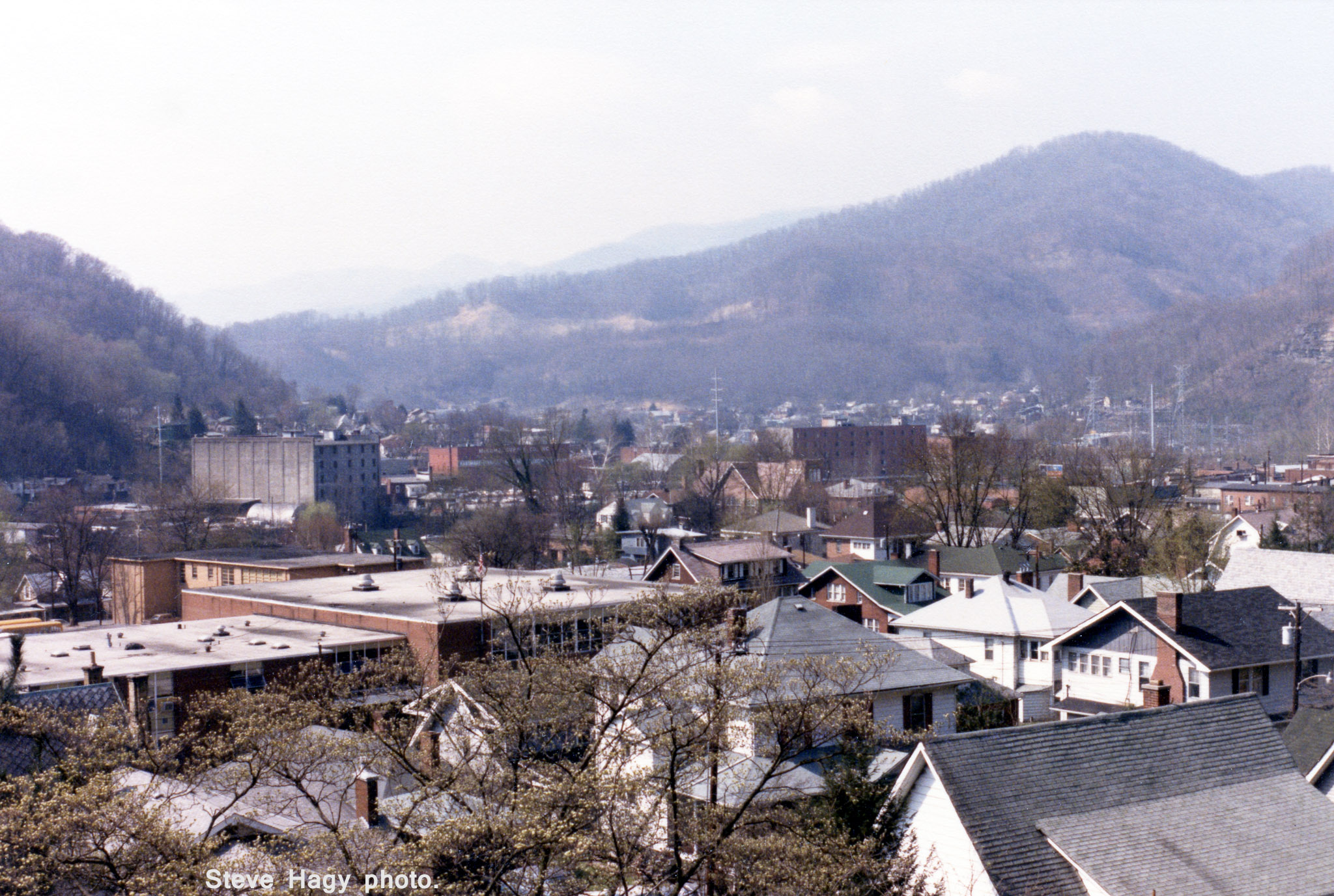
Harlan, Kentucky - April 1985 #1
Rollin' In
We couldn't help but stop this morning and admire the view of the mountains.
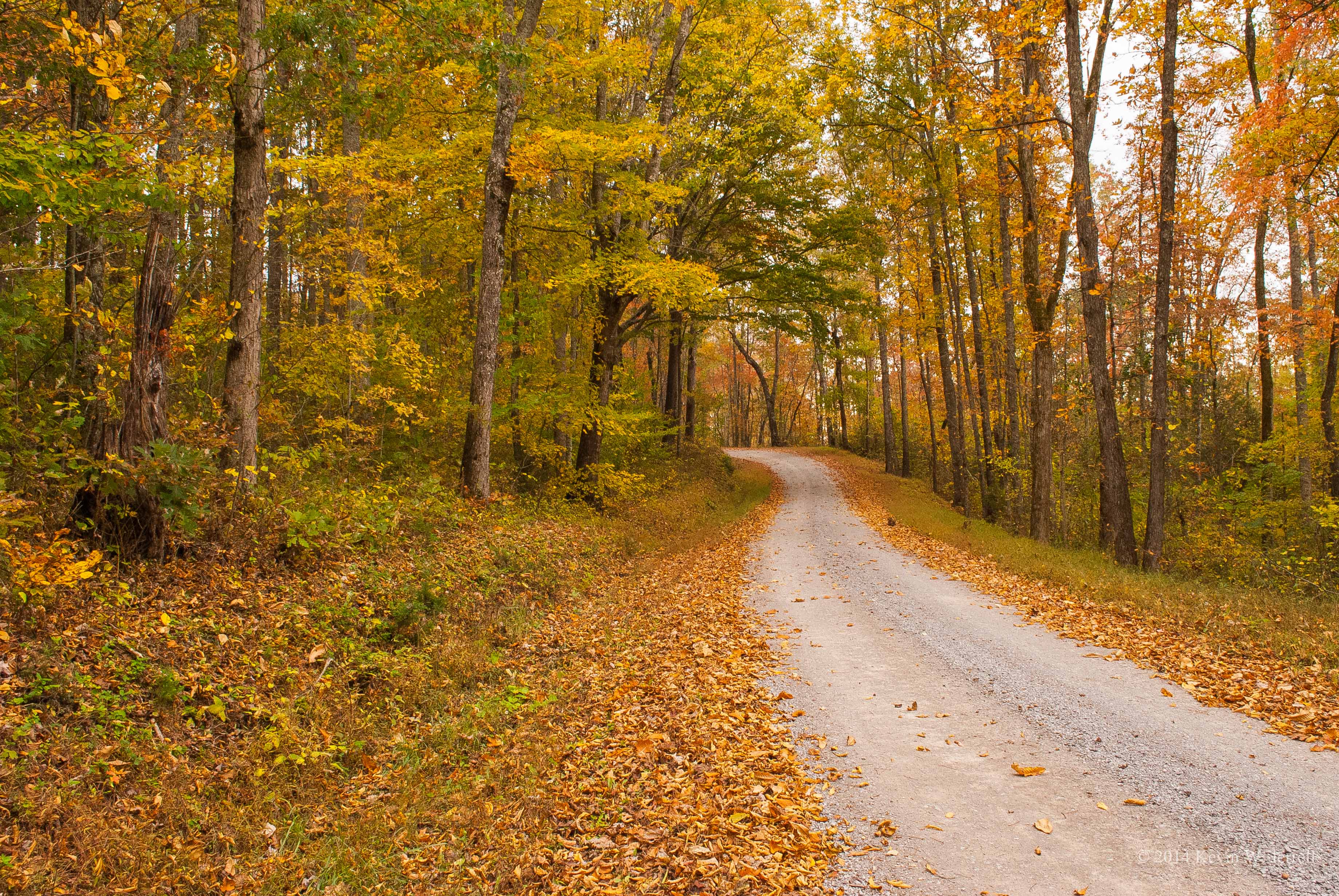
Through the Woods
The afternoon is heavy on your shoulders
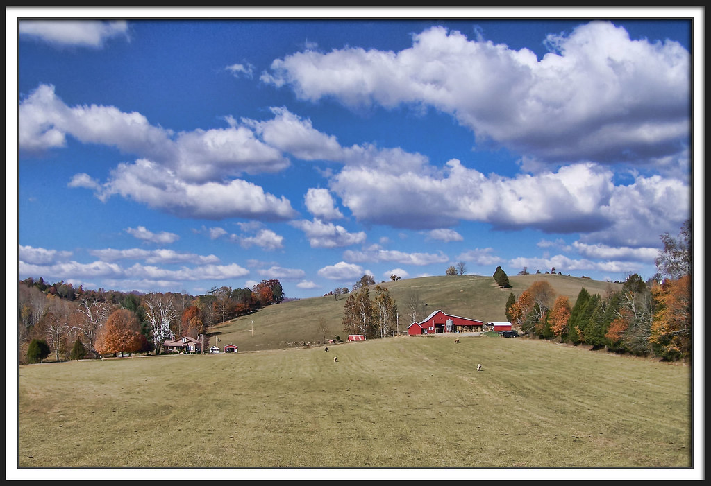
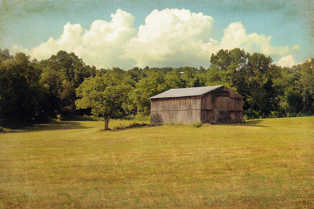
Friendship Farm

Morning Light On The Powell
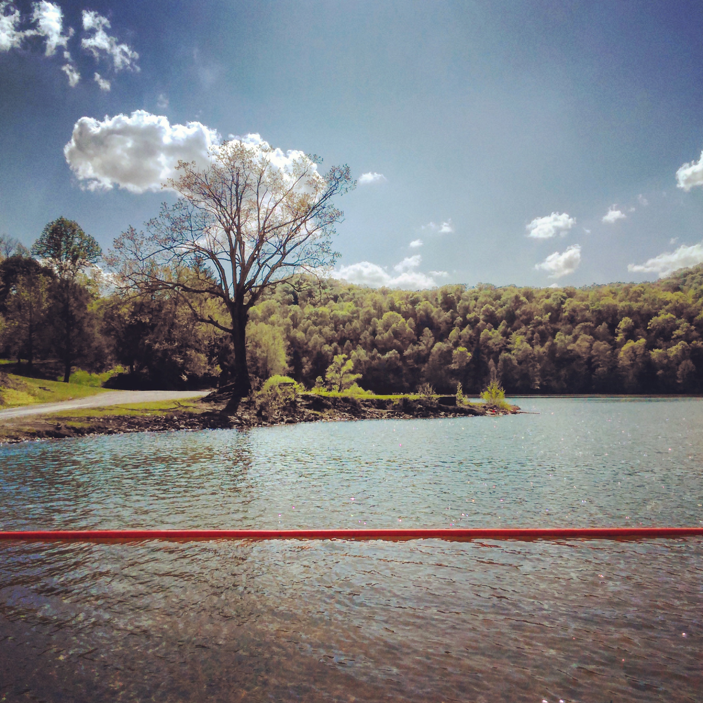
Martin's Fork Lake

Walmart -- #1743 Harlan, KY
Fifty miles of elbow room

Cranks Creek Dam -- Harlan County, Kentucky

I was feeling a little artistic tonight.
Cranks Creek Lake

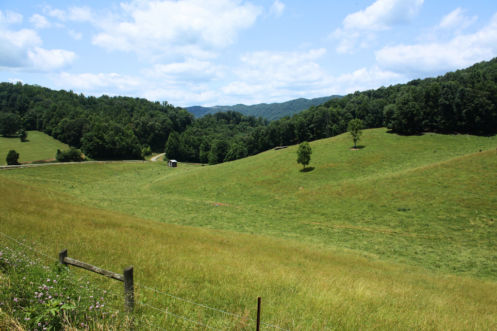
Harlan County, KY
Big Clouds

Martin's Fork Lake -- Harlan, KY

Cranks Creek Lake and Dam

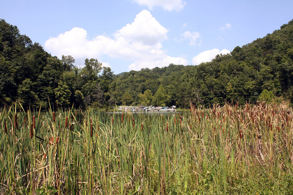
Martins Fork Lake -- Harlan County, KY
Harlan, Kentucky

Former Krystal Turning into a Pizza Hut
Martins Fork Lake Panorama
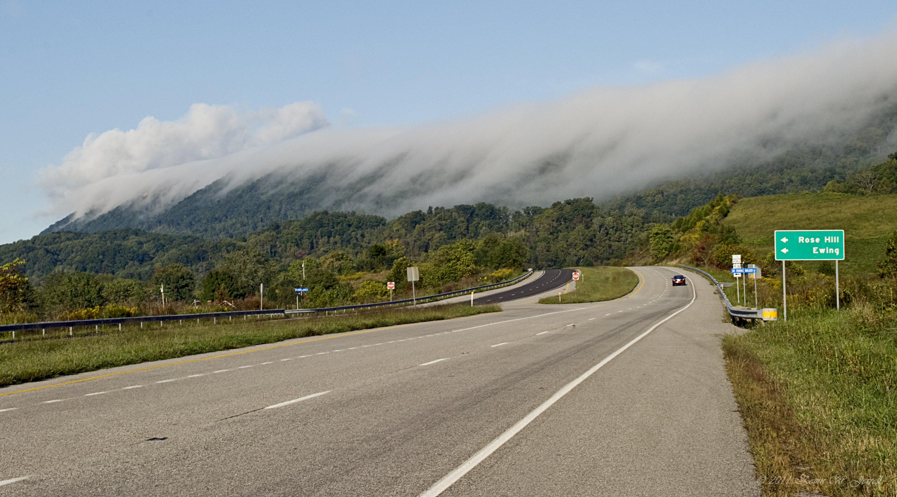
US 421 Harlan County, Kentucky
Topographic Map of Cawood, KY, USA
Find elevation by address:

Places in Cawood, KY, USA:
Places near Cawood, KY, USA:
Nola St, Cawood, KY, USA
US-, Harlan, KY, USA
24 Peach Tree St, Harlan, KY, USA
Chad St, Evarts, KY, USA
Harlan County
40 12 Spot
KY-38, Evarts, KY, USA
229 Baltic Dr
229 Baltic Dr
229 Baltic Dr
229 Baltic Dr
Saint Charles
St Charles Rd, St Charles, VA, USA
US-, Pennington Gap, VA, USA
503 Leigh Ave
State Rd, St Charles, VA, USA
159 Anderson St
Pennington Gap Waste Water
Pennington Gap
Pennington Gap Mayors Office
Recent Searches:
- Elevation of Corso Fratelli Cairoli, 35, Macerata MC, Italy
- Elevation of Tallevast Rd, Sarasota, FL, USA
- Elevation of 4th St E, Sonoma, CA, USA
- Elevation of Black Hollow Rd, Pennsdale, PA, USA
- Elevation of Oakland Ave, Williamsport, PA, USA
- Elevation of Pedrógão Grande, Portugal
- Elevation of Klee Dr, Martinsburg, WV, USA
- Elevation of Via Roma, Pieranica CR, Italy
- Elevation of Tavkvetili Mountain, Georgia
- Elevation of Hartfords Bluff Cir, Mt Pleasant, SC, USA