Elevation of State Rd, St Charles, VA, USA
Location: United States > Virginia > Lee County > >
Longitude: -83.035154
Latitude: 36.830148
Elevation: 518m / 1699feet
Barometric Pressure: 95KPa
Elevation Map:
Satellite Map:
Related Photos:
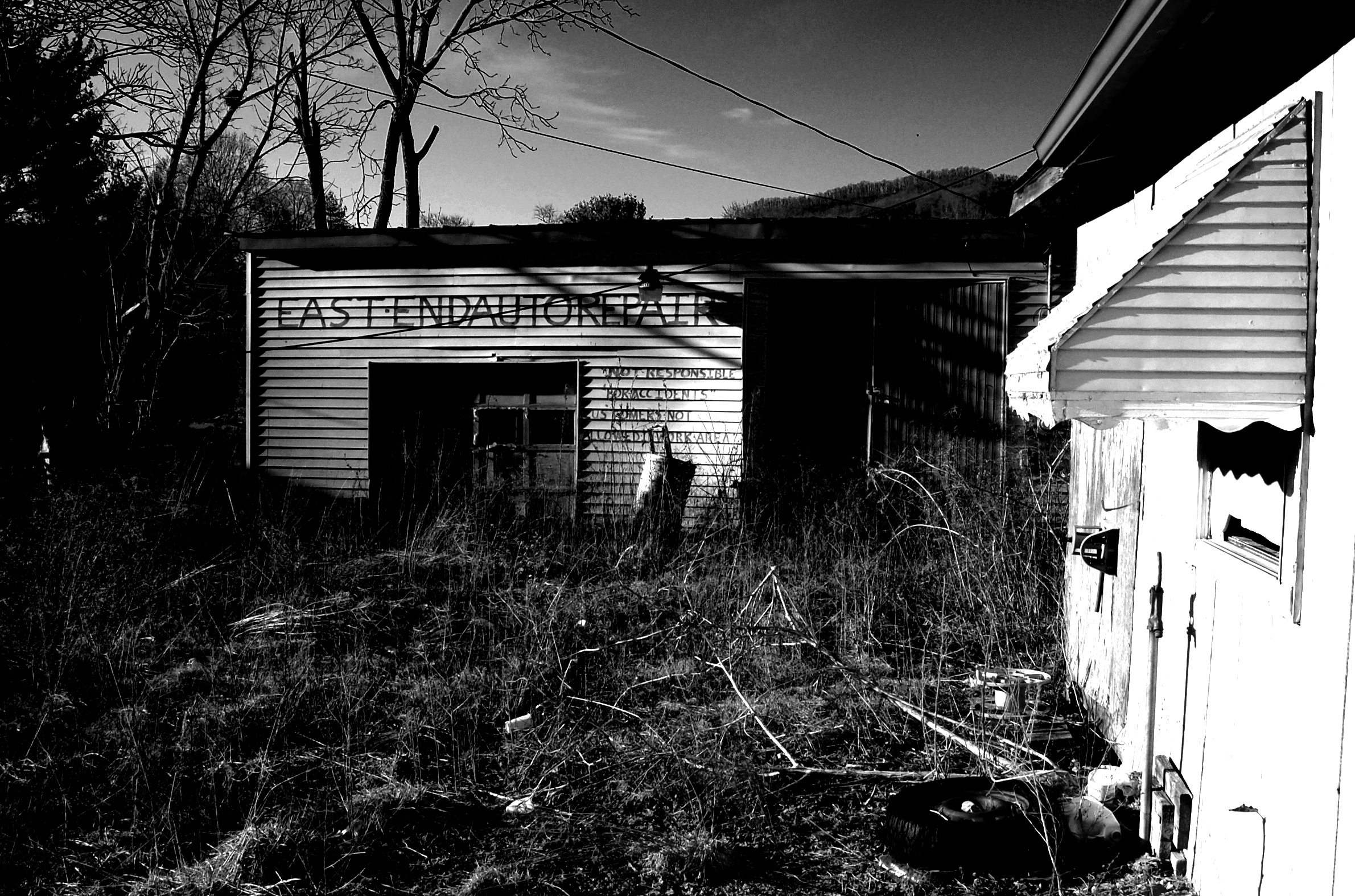
East End Auto

Stray Dog 2
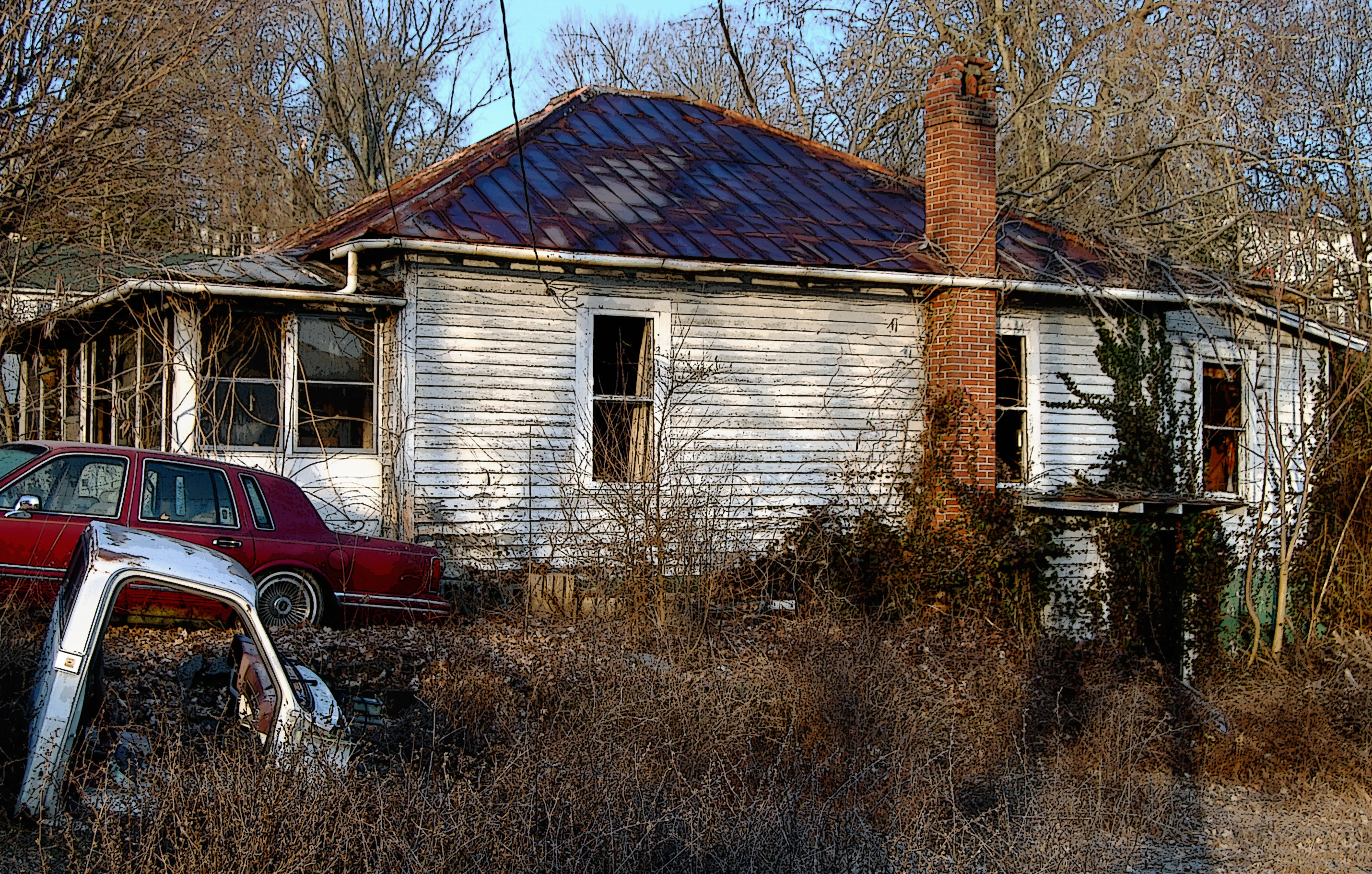
Fixer Upper
Red-Wall

Tobacco Field
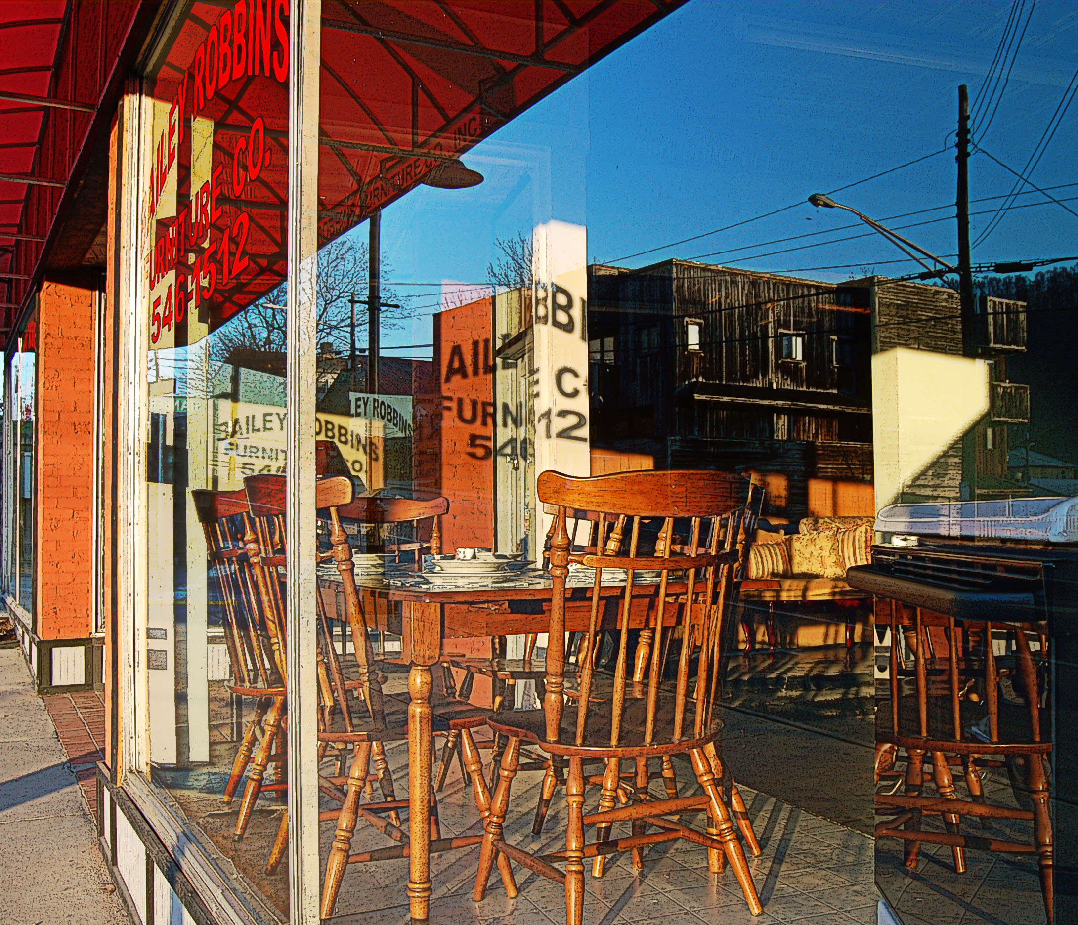
Bailey Robbins
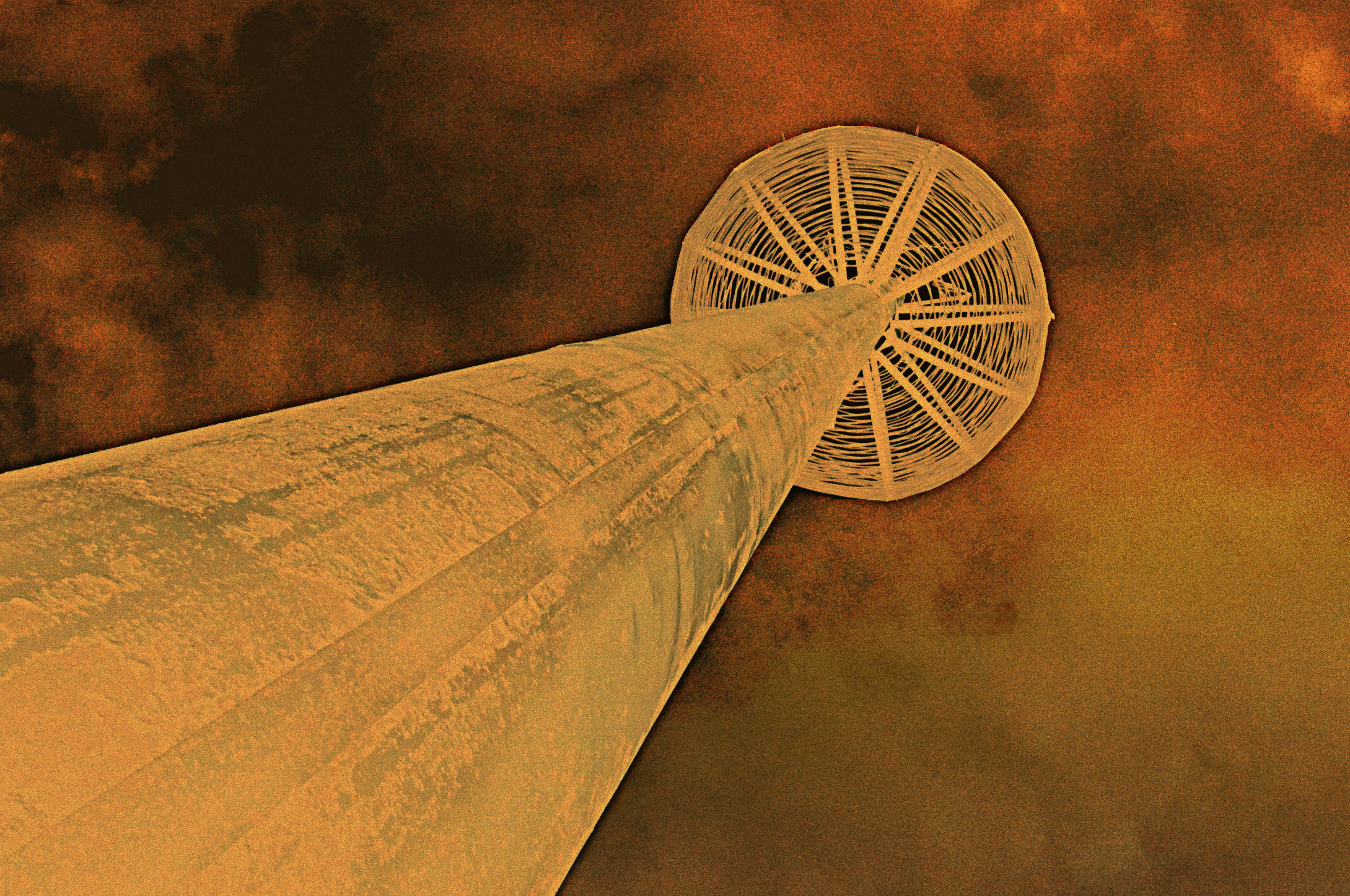
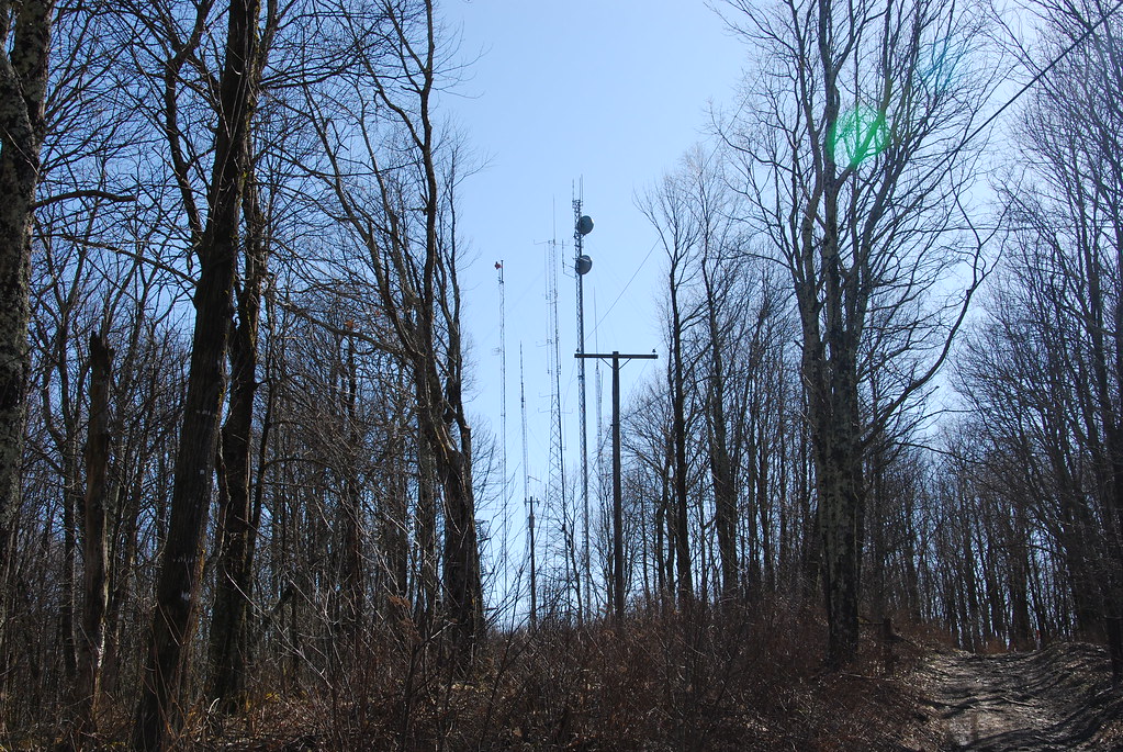
High-Mast
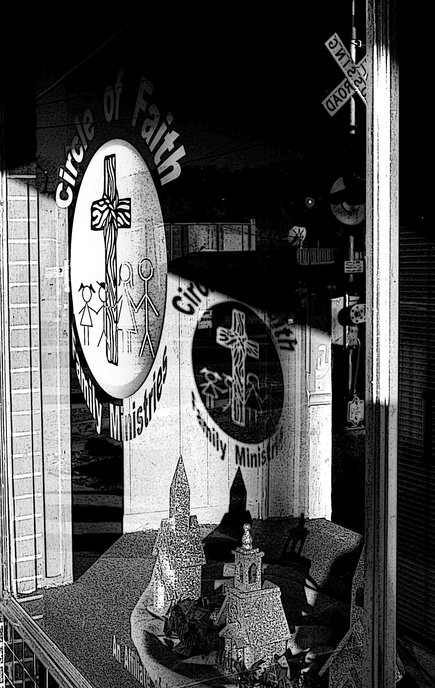
Circle of Faith
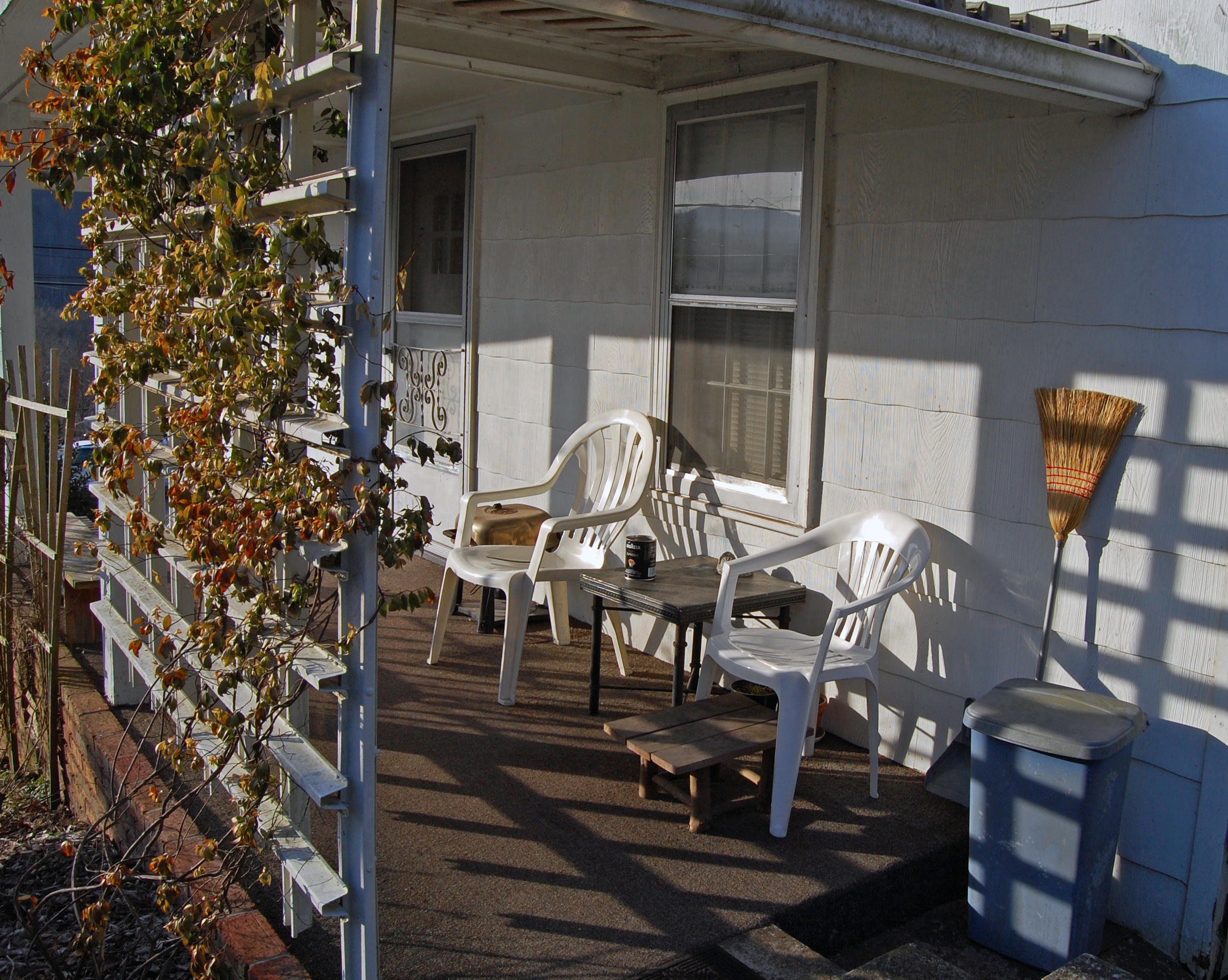
A Place in the Sun
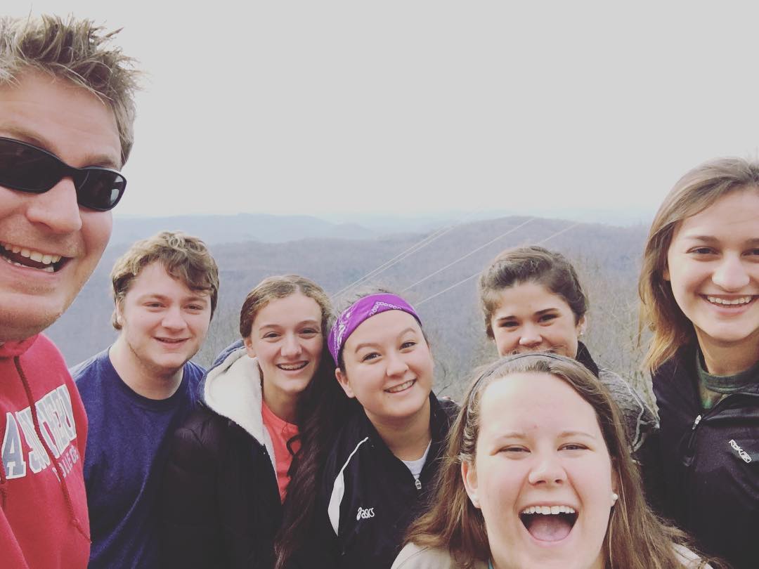
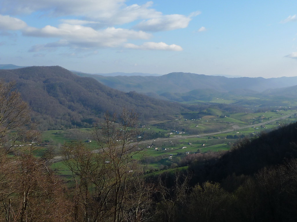
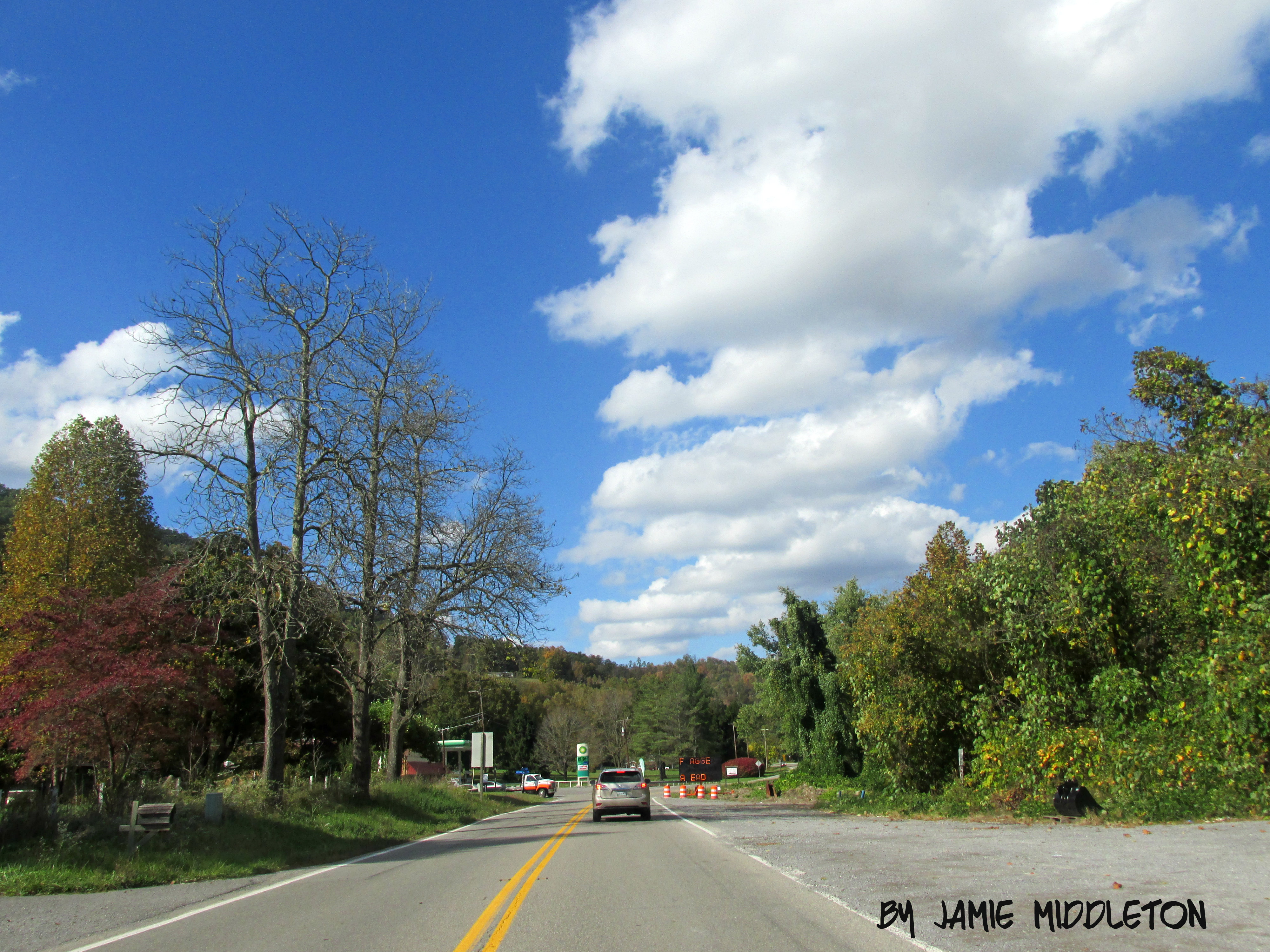
We couldn't help but stop this morning and admire the view of the mountains.
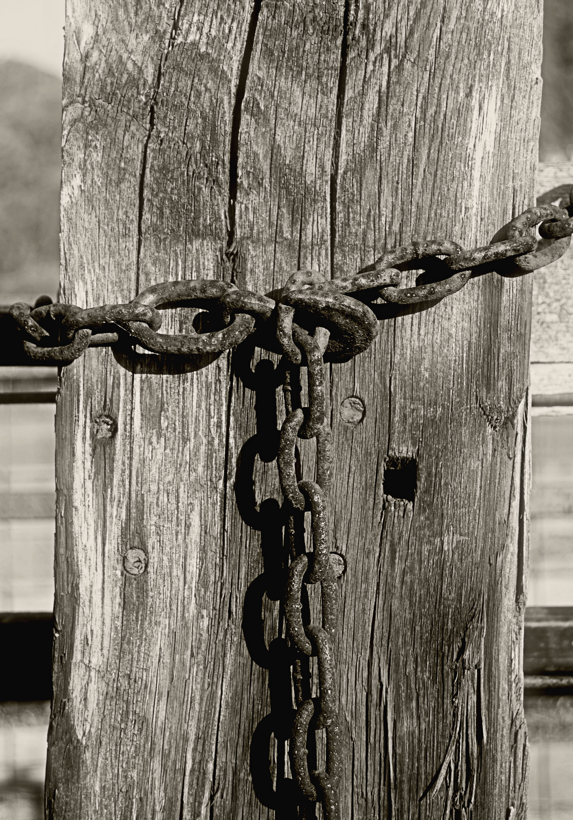
Chain-and-Post

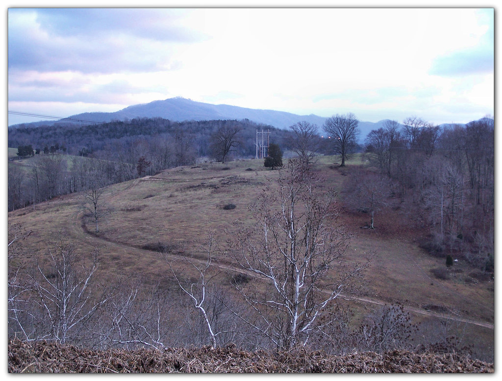
Rolling Hills
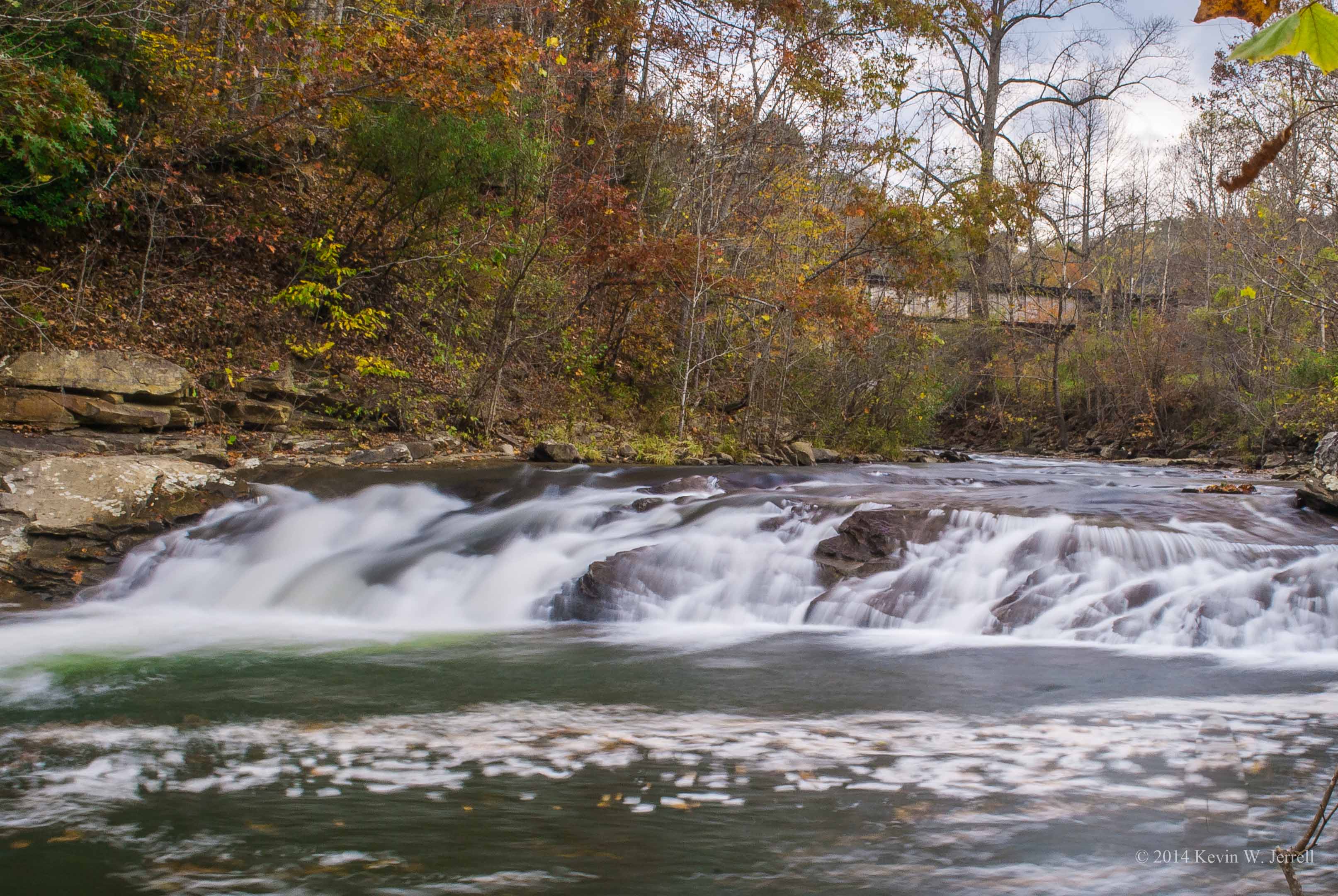
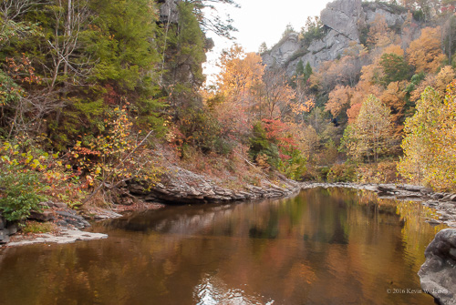
Purcell Falls
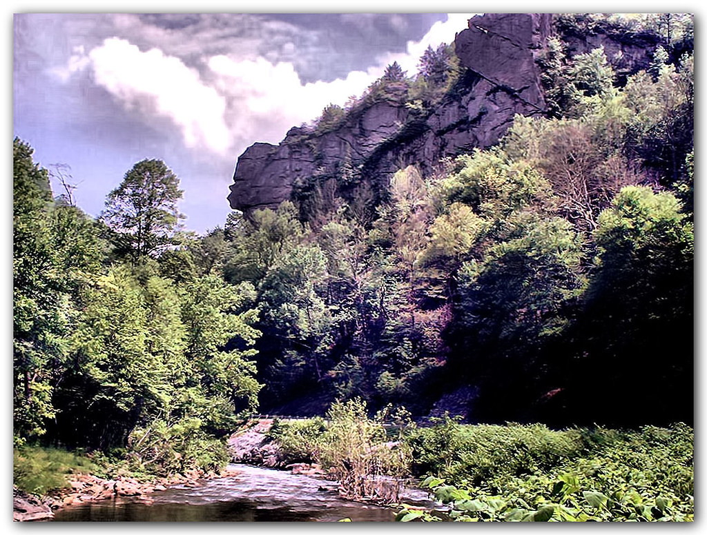
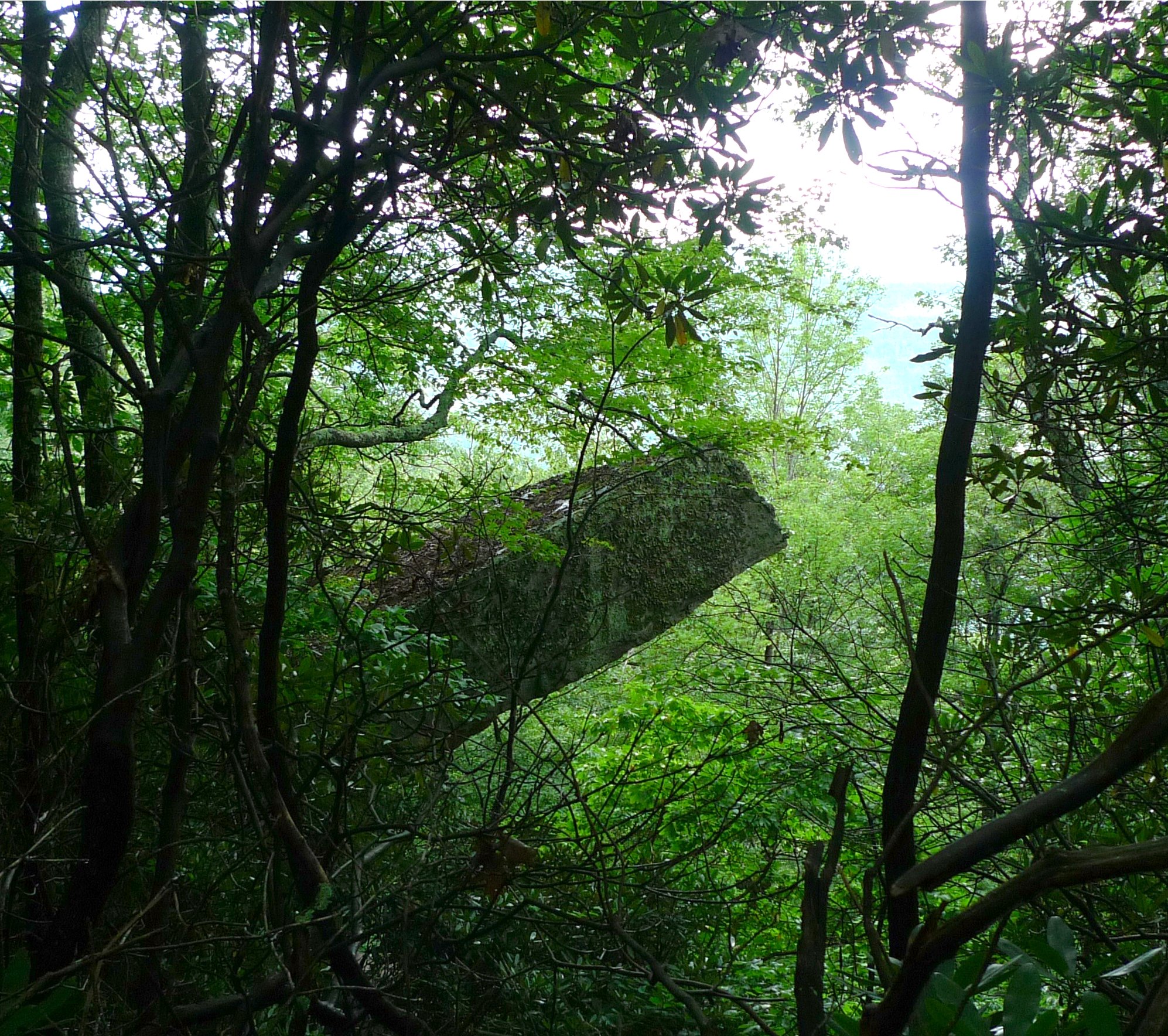
Great Stone Face
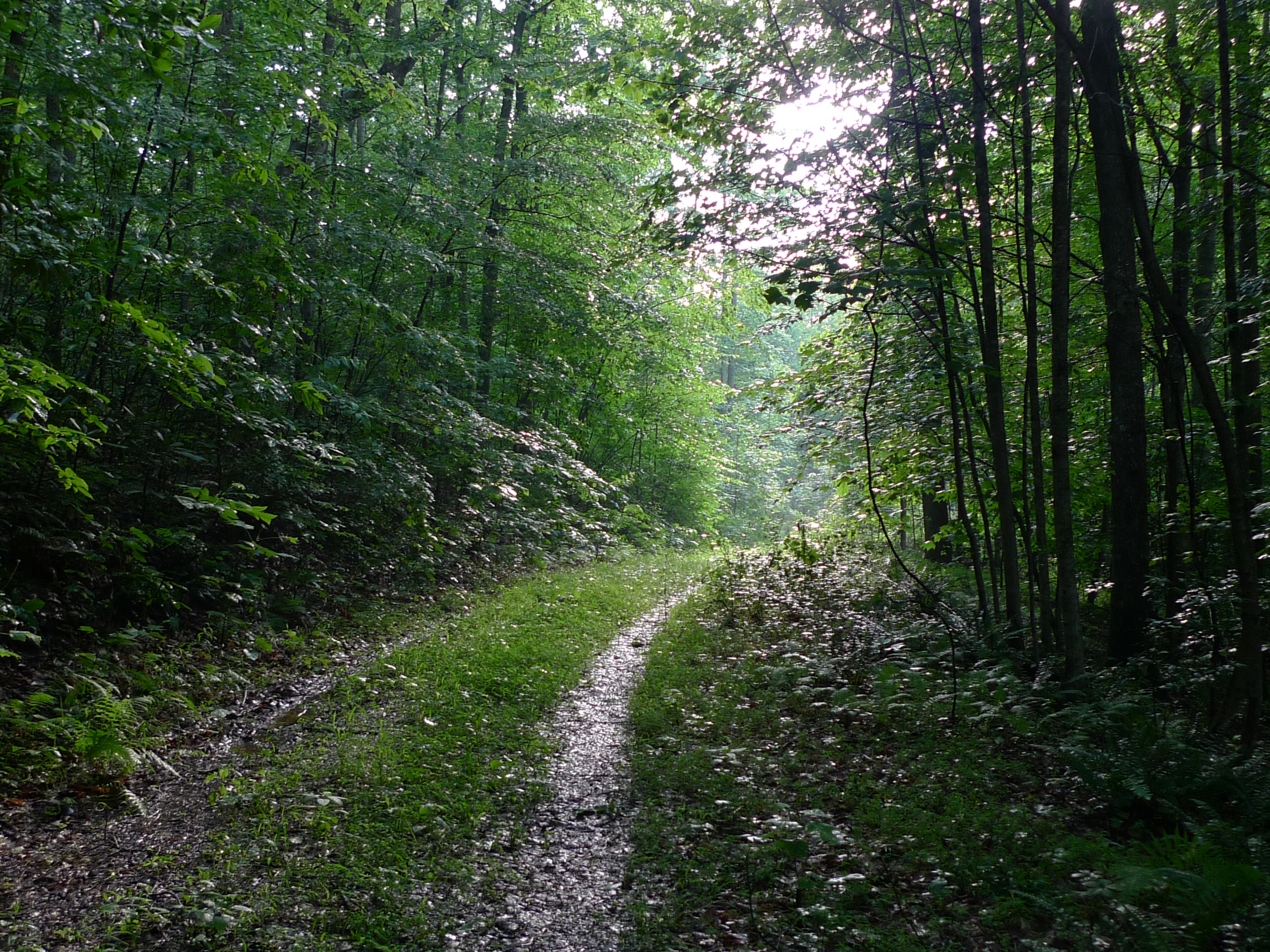
Daniel Boone Wilderness Trail
US 421 Harlan County, Kentucky
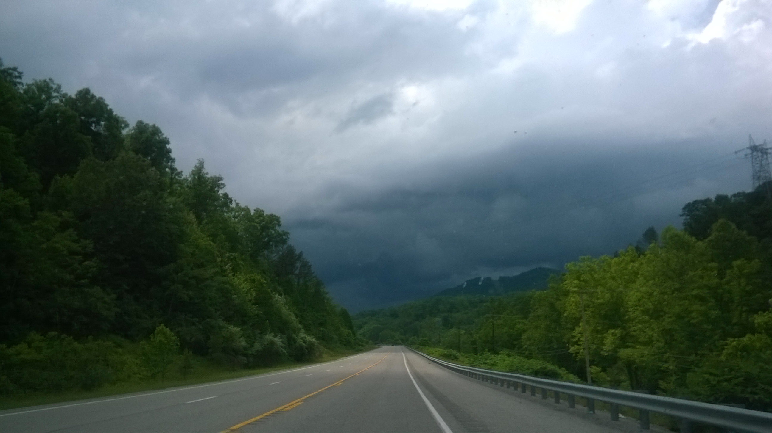
Hiking in the rain, almost there
Black Mountain Summit
Hanging Rock on Stone Mountain Trail
Lovelady Gap
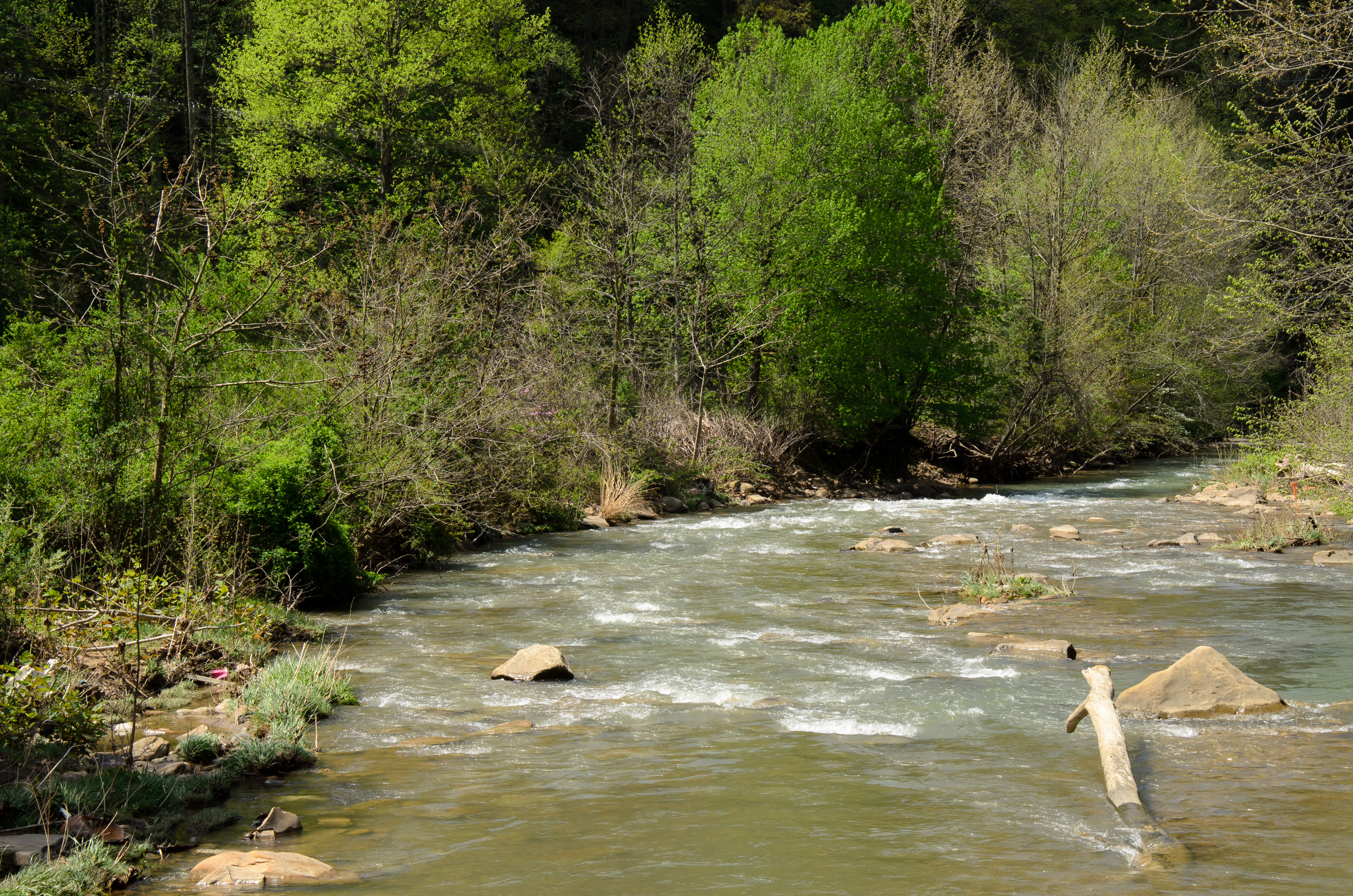
Rolling River

Jen - First day of work & DP - 15

Chris - Arrival @ Craaaanks Creeeeek - 55

Kentucky Sunrise

Remains of Long John Silvers -- Pennington Gap, Virginia
US 421 at Cawood, Kentucky
What We Do For a Photo

Lee County Virginia Sunrise
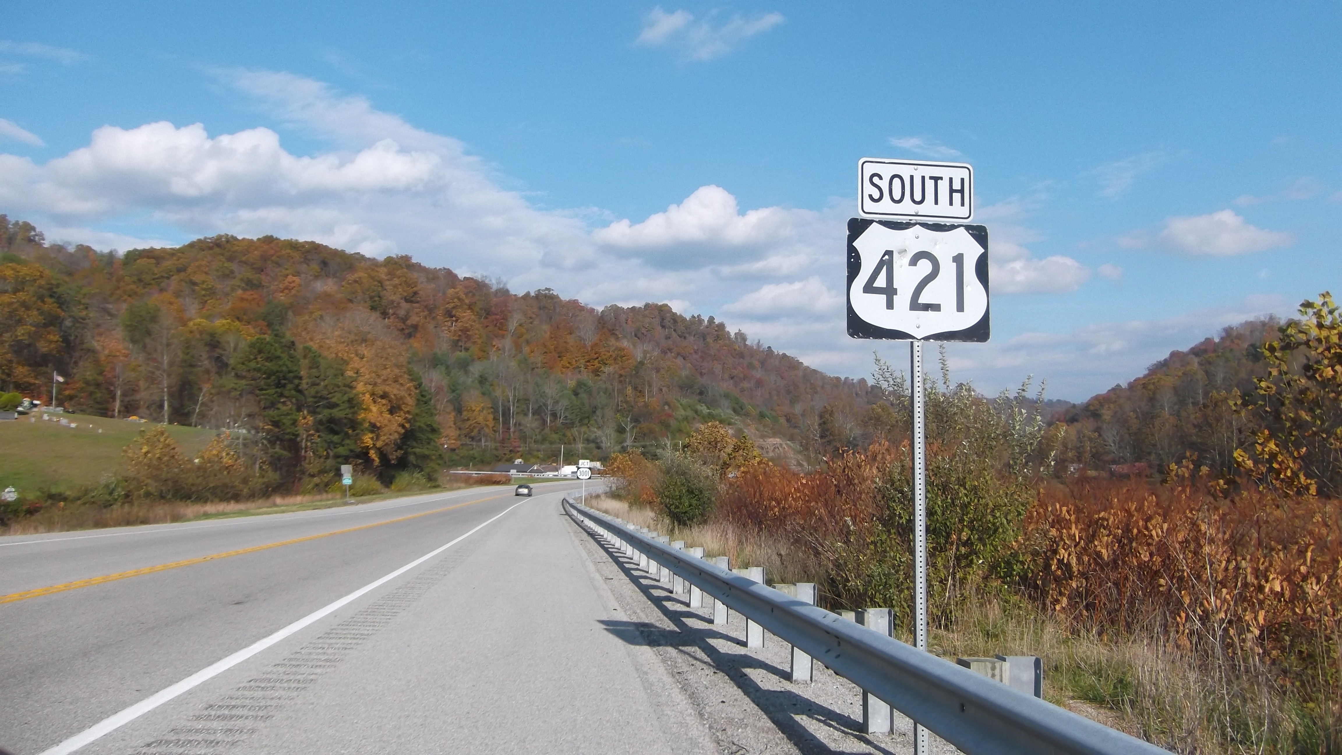
US 421 -- Pennington Gap, Virginia

Deep Springs
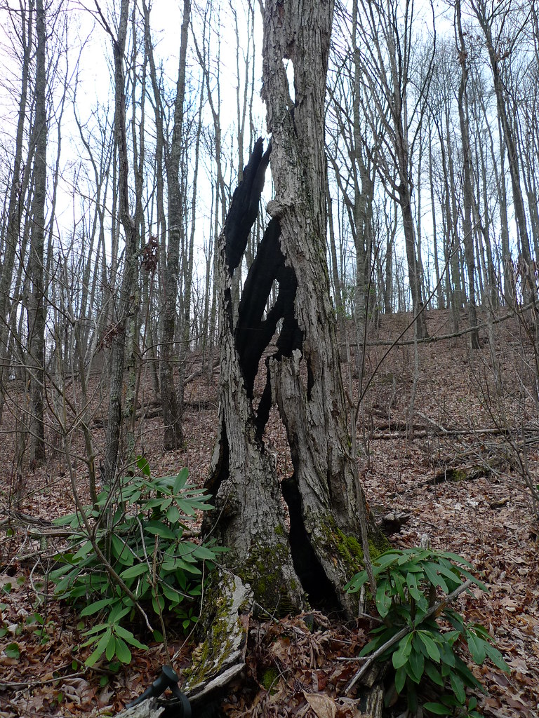
Results of Lightning
Topographic Map of State Rd, St Charles, VA, USA
Find elevation by address:

Places near State Rd, St Charles, VA, USA:
5, VA, USA
Saint Charles
St Charles Rd, St Charles, VA, USA
US-, Pennington Gap, VA, USA
229 Baltic Dr
229 Baltic Dr
229 Baltic Dr
229 Baltic Dr
159 Anderson St
Pennington Gap Waste Water
Pennington Gap
Pennington Gap Mayors Office
503 Leigh Ave
40 12 Spot
KY-38, Evarts, KY, USA
US-, Harlan, KY, USA
Chad St, Evarts, KY, USA
Harlan County
Cawood
Nola St, Cawood, KY, USA
Recent Searches:
- Elevation of Corso Fratelli Cairoli, 35, Macerata MC, Italy
- Elevation of Tallevast Rd, Sarasota, FL, USA
- Elevation of 4th St E, Sonoma, CA, USA
- Elevation of Black Hollow Rd, Pennsdale, PA, USA
- Elevation of Oakland Ave, Williamsport, PA, USA
- Elevation of Pedrógão Grande, Portugal
- Elevation of Klee Dr, Martinsburg, WV, USA
- Elevation of Via Roma, Pieranica CR, Italy
- Elevation of Tavkvetili Mountain, Georgia
- Elevation of Hartfords Bluff Cir, Mt Pleasant, SC, USA