Elevation of Nola St, Cawood, KY, USA

Location: United States > Kentucky > Harlan County > Cawood >

Longitude: -83.230790

Latitude: 36.7849485

Elevation: 419m / 1375feet

Barometric Pressure: 96KPa

Elevation Map:

elevation map of Nola St, Cawood, KY, USA

Satellite Map:

Satellite map of Nola St, Cawood, KY, USA

Related Photos:

house abandoned virginia explore leecounty platinumphoto proudshopper novavitanewlife novaexcellence artistictreasurechest
Tower House
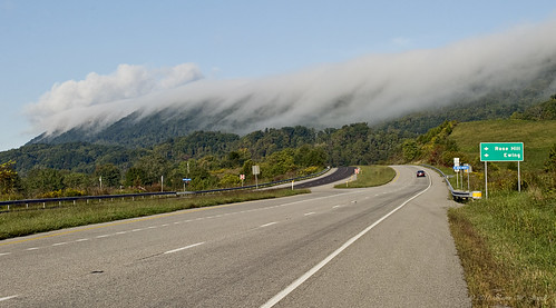
morning mountains nature fog clouds virginia scenic stonemountain rosehill leecounty hwy58 nikond60 wildernessroad backroadsphotography kjerrellimages
Breaking Over the Rocks
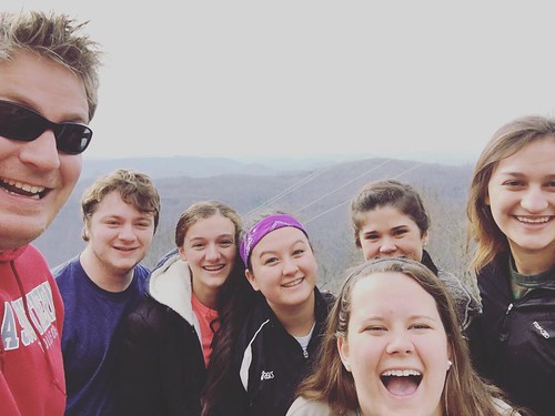
square gingham squareformat iphoneography instagramapp uploaded:by=instagram foursquare:venue=4ca50156931bb60c941686e2
We couldn't help but stop this morning and admire the view of the mountains.
sunshine maryalice cumberland coalmining us421 harlancounty route72 elcomb teetersville
Harlan - Clover Fork River Bridge
school sunshine kentucky aerialview courthouse baxter appalachia smalltown harlan ruralamerica countyjail cawood us421 loyall evarts bloodyharlan
Harlan, Kentucky - April 1985 #2
bluegrass coal ages smalltown cumberlandriver cancellation verda dpo loyall harlancounty cloverfork blackjoe discontinuedpostoffice harlancollieries eastovermining deadpostoffice
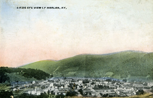
Birds Eye View of Harlan, Kentucky
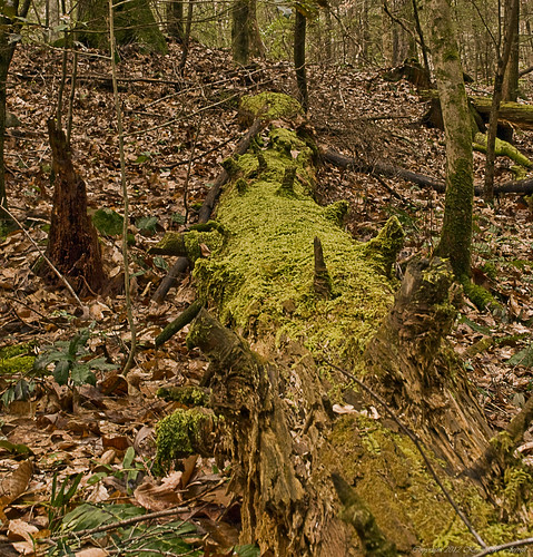
tree nature forest dead moss perspective pointofview ferns rotten naturalbeauty decayed nikond60 kjerrellimages
"If a tree falls in the forest..."
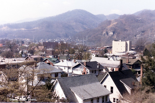
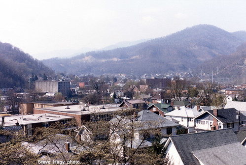
school sunshine aerialview courthouse mountainview baxter appalachia smalltown coalmine harlan countyjail harlankentucky coalgood evarts wallinscreek
Harlan, Kentucky - April 1985 #1
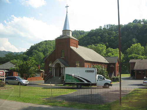
trees sky sun mountain green church car truck day cross kentucky steeple holy trinity crucifix enterprise harlan coap
Rollin' In
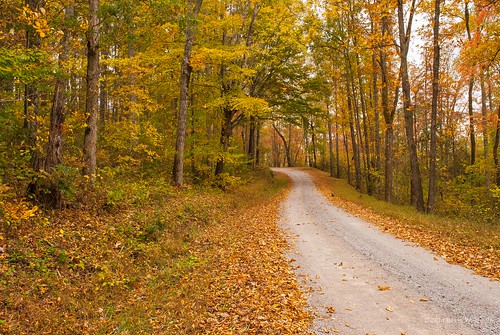
autumn fall fallcolor dirtroads countryroads countryscenes nikond60 rosehillva leecountyvirginia backroadphotography kjerrellimges
Through the Woods
sky clouds barn landscape virginia farm explore leecounty blueribbonwinner supershot mywinners platinumphoto anawesomeshot goldstaraward
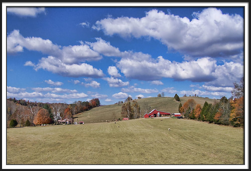
Friendship Farm
city winter snow storm retail shopping store discount yum bell mcdonalds walmart pizza hut taco wendys stores brands harlan octavia rax dons justified roastbeed us421 harlancounty harlanky justifiedfx harlanco winter2015
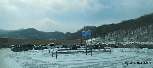
Walmart -- #1743 Harlan, KY
panorama army kentucky smith morgan usarmy usace corpsofengineers martinsfork jamesmorgan martinsforklake nashvilledistrict
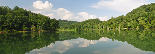
Martins Fork Lake Panorama
panorama army kentucky smith morgan usarmy usace corpsofengineers martinsfork jamesmorgan martinsforklake nashvilledistrict
Martins Fork Lake Panorama
barn rural virginia farm leecounty tatot
The afternoon is heavy on your shoulders
morning autumn fall water misty fog rural virginia colorful calm rivers serene streams leecounty powellriver jonesville backroadphotography kjerrellimages flanarybridge
Morning Light On The Powell
Martin's Fork Lake
rural virginia farm leecounty
Fifty miles of elbow room
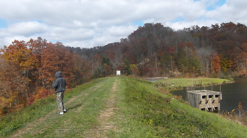
lake mountains fall leaves kentucky fallcolors harlan justified harlancounty justifiedfx
Cranks Creek Dam -- Harlan County, Kentucky
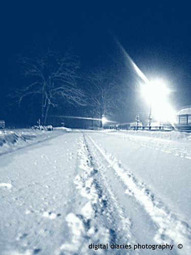
winter snow photography artsy snowscape harlan justified harlancounty harlanky harlankentucky justifiedfx
I was feeling a little artistic tonight.
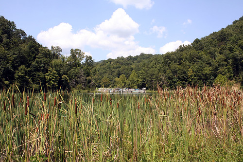
lake creek kentucky cattails harlancounty
Cranks Creek Lake
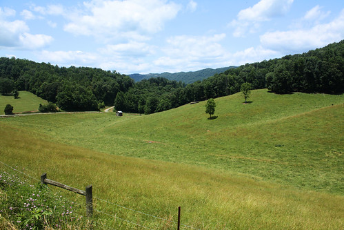
mountains kentucky harlan appalachianmountains us421 harlancounty
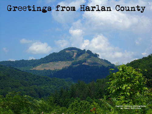
Harlan County, KY
sky clouds barn landscape virginia hdr leecounty
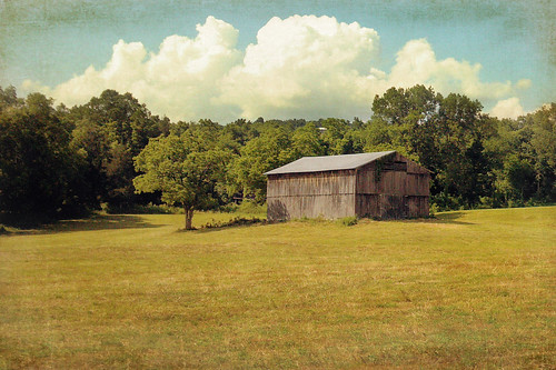
Big Clouds
Martin's Fork Lake -- Harlan, KY
lake mountains fall leaves kentucky fallcolors harlan justified harlancounty justifiedfx
Cranks Creek Lake and Dam
Martins Fork Lake -- Harlan County, KY
downtown kentucky ky fx harlan justified southeasternkentucky justfiedfx
Harlan, Kentucky