Elevation of Glyndon, MN, USA
Location: United States > Minnesota > Clay County >
Longitude: -96.578818
Latitude: 46.8772557
Elevation: 282m / 925feet
Barometric Pressure: 98KPa
Elevation Map:
Satellite Map:
Related Photos:

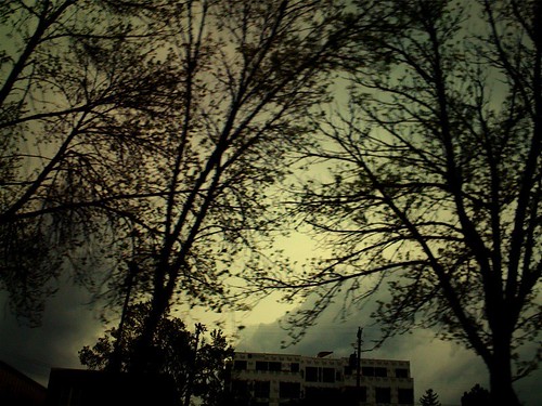
Southwest View
From Above

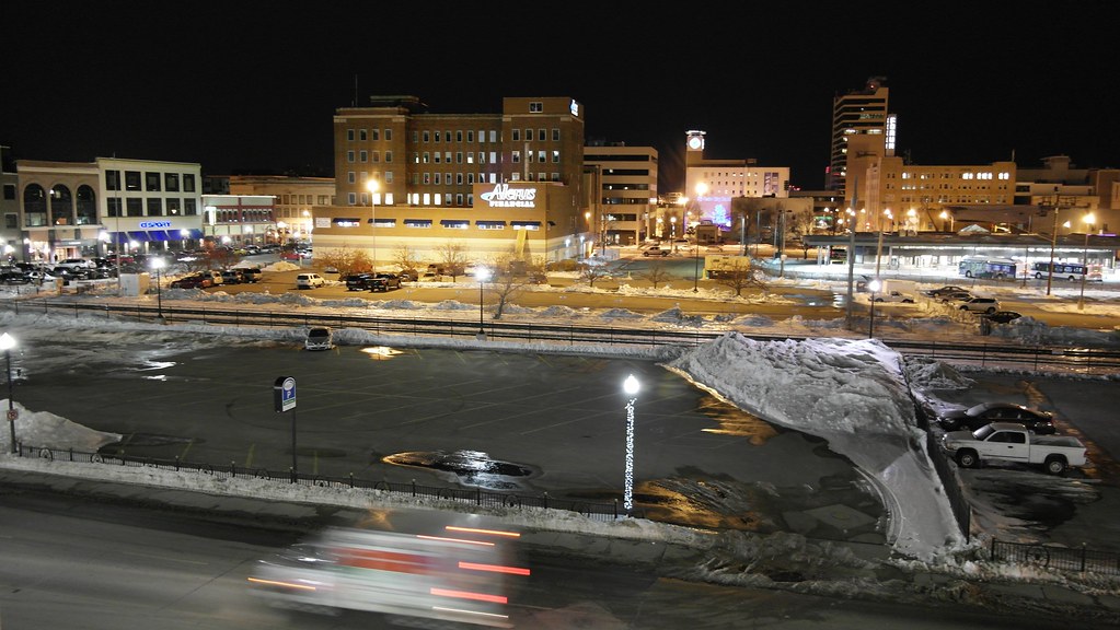
Heart of the City

Then and now
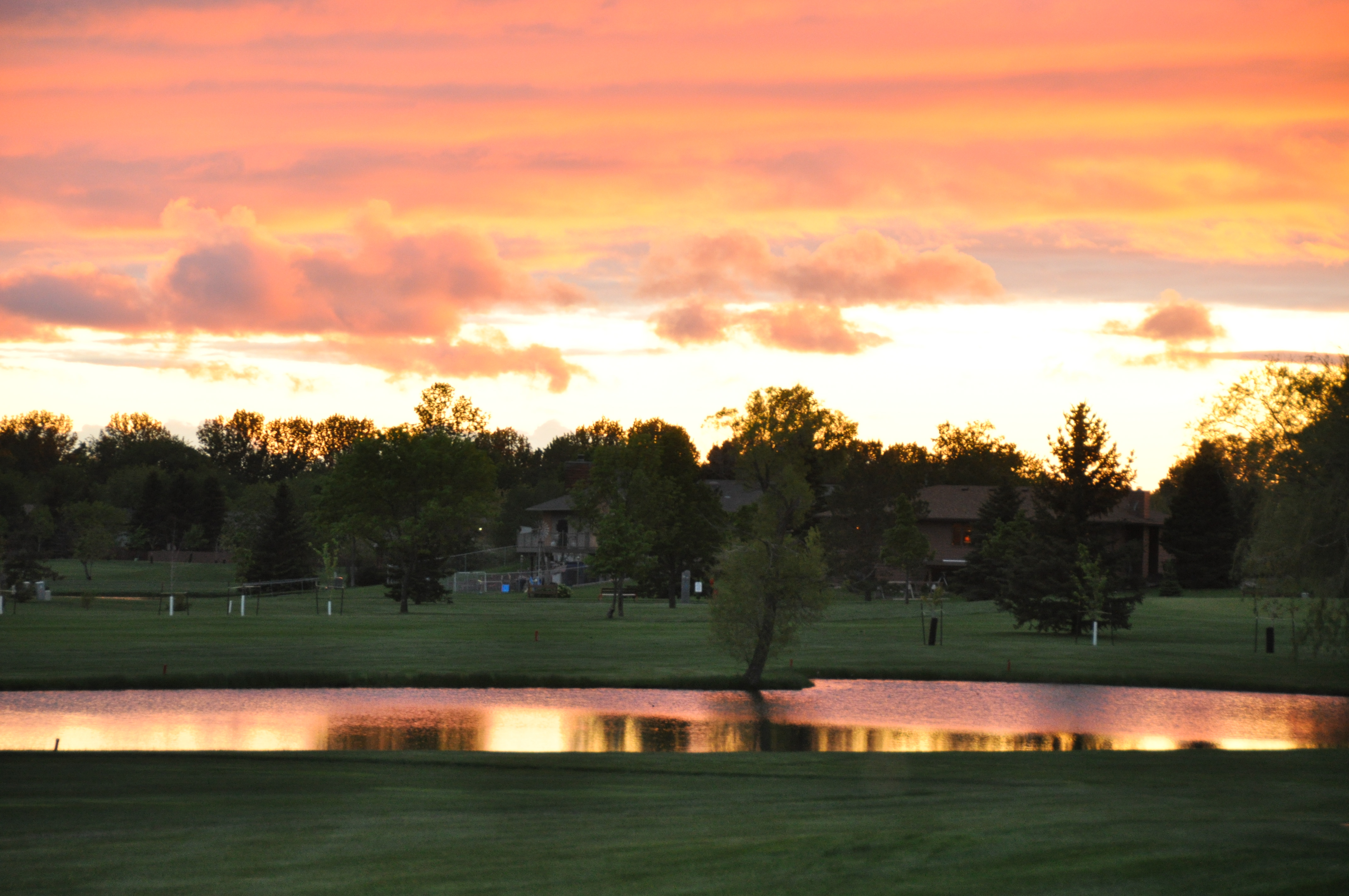
Village Green sunset.
20130429-NRCS-LSC-0367
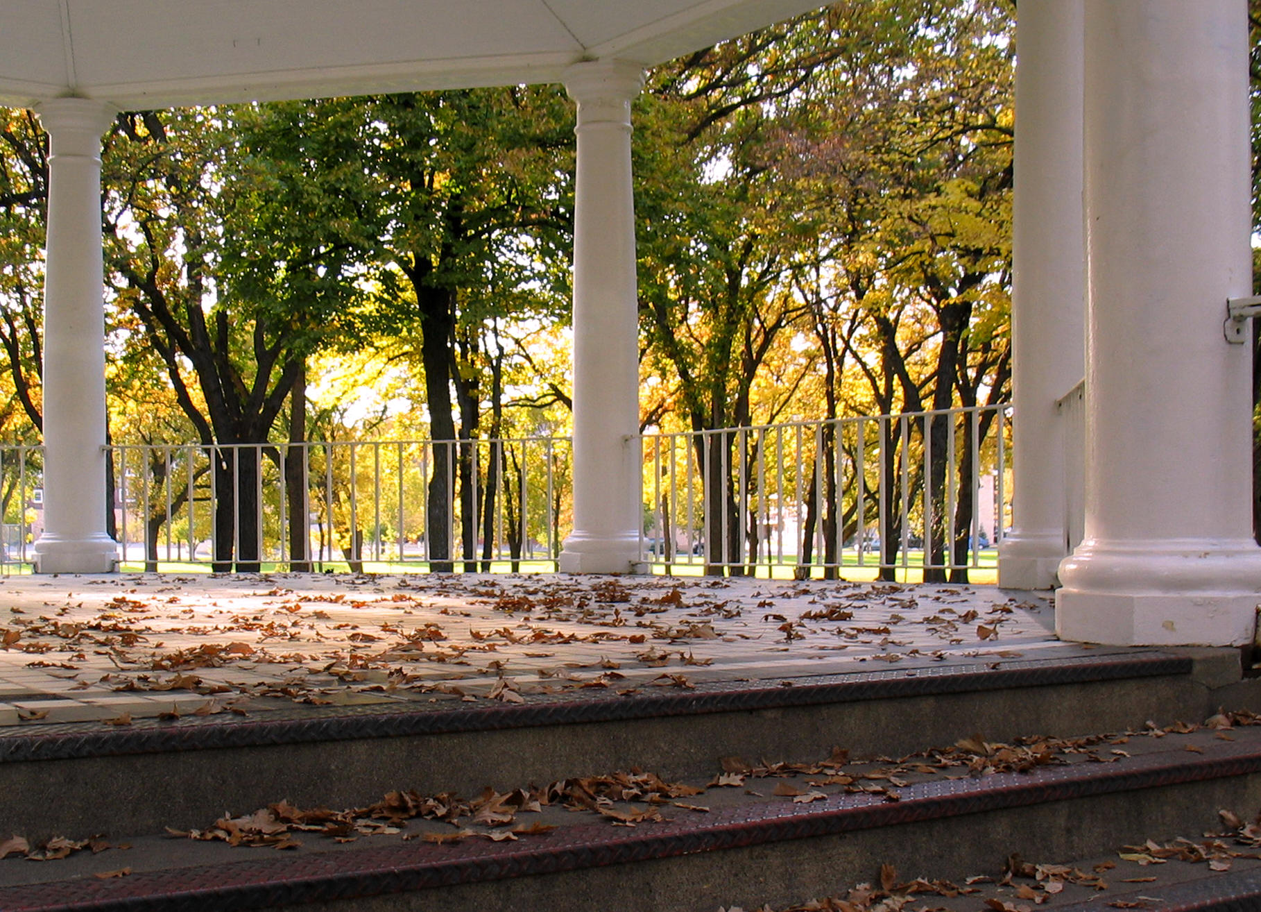
Island Park gazebo, autumn (Fargo, North Dakota)
20130429-NRCS-LSC-0343

20130429-NRCS-LSC-0354
20130429-NRCS-LSC-0345
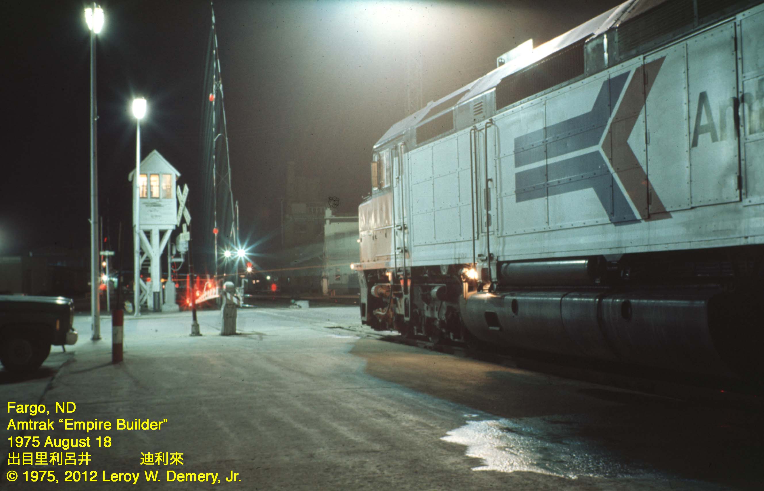
Westbound "Empire Builder" - 2, Fargo, ND, 1975

365-050

365-086
20130429-NRCS-LSC-0349
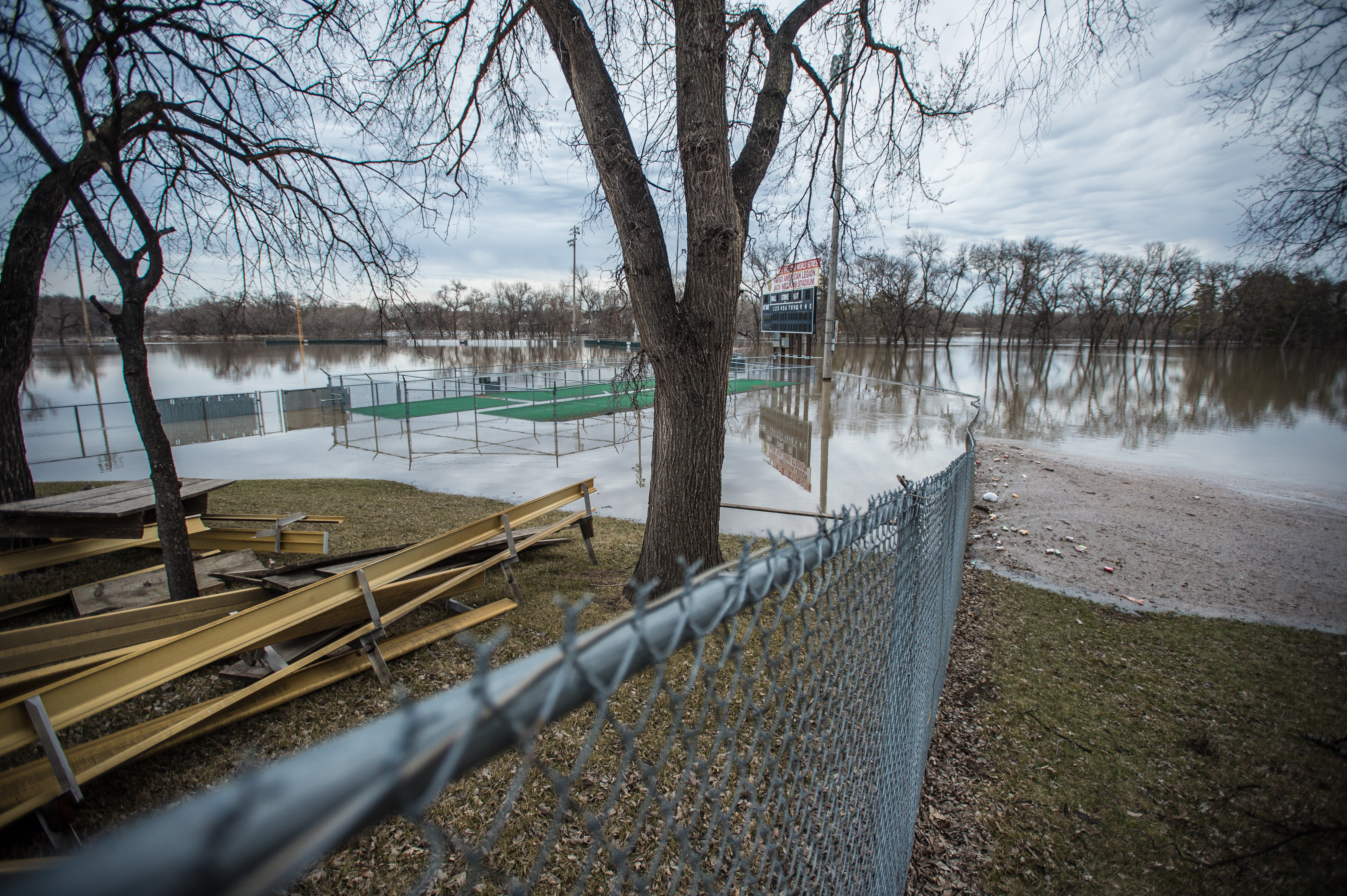
Red River Flood, April 1997 (1)
Red River Flood, April 1997 (4)
The view out of the kitchen window.
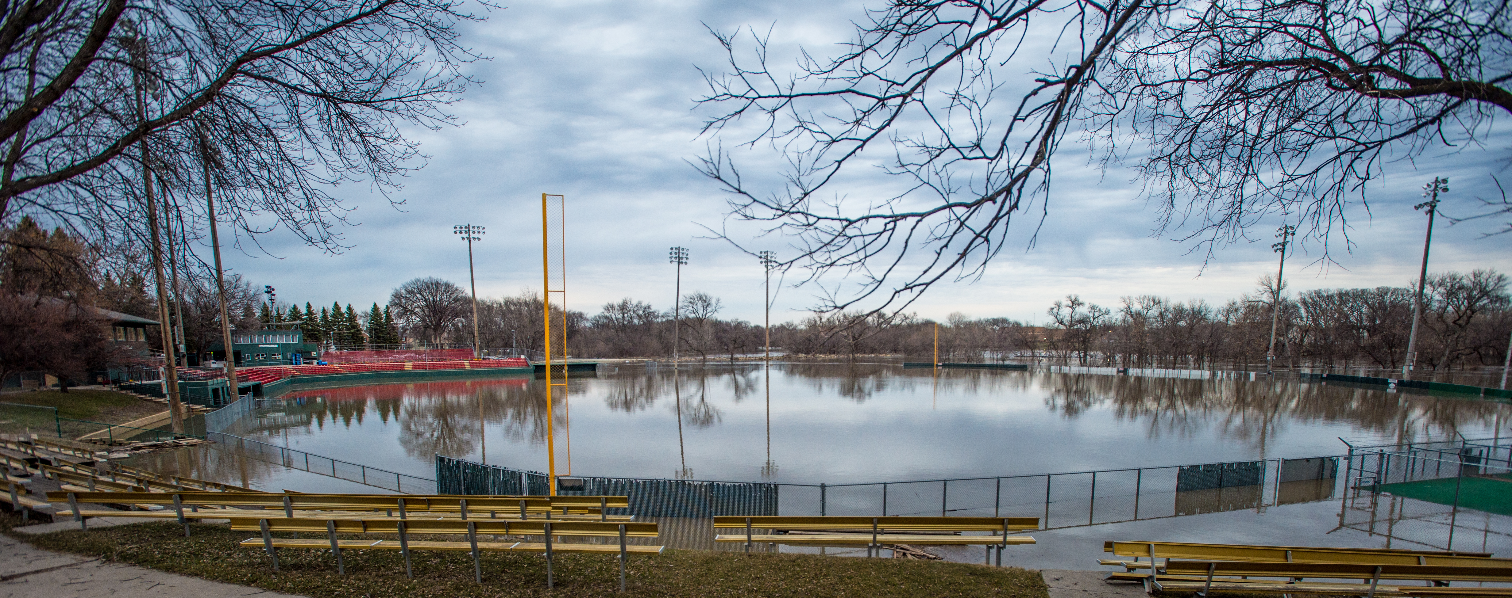
Fargo flood panorama, April 3, 2006
Main Ave
Red River Flood, April 1997 (3)
Fast Train

Wild Onion
Old & New

Lindenwood rays
Red River of the North
Fog on the Red

Minnesota Clouds HDR
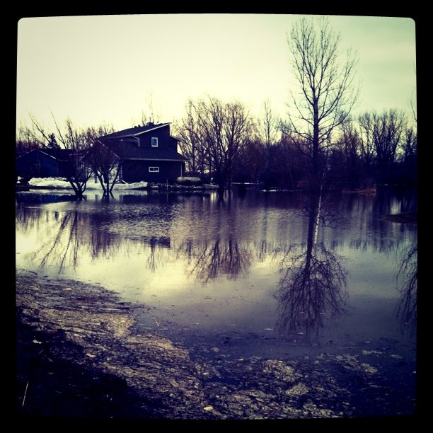
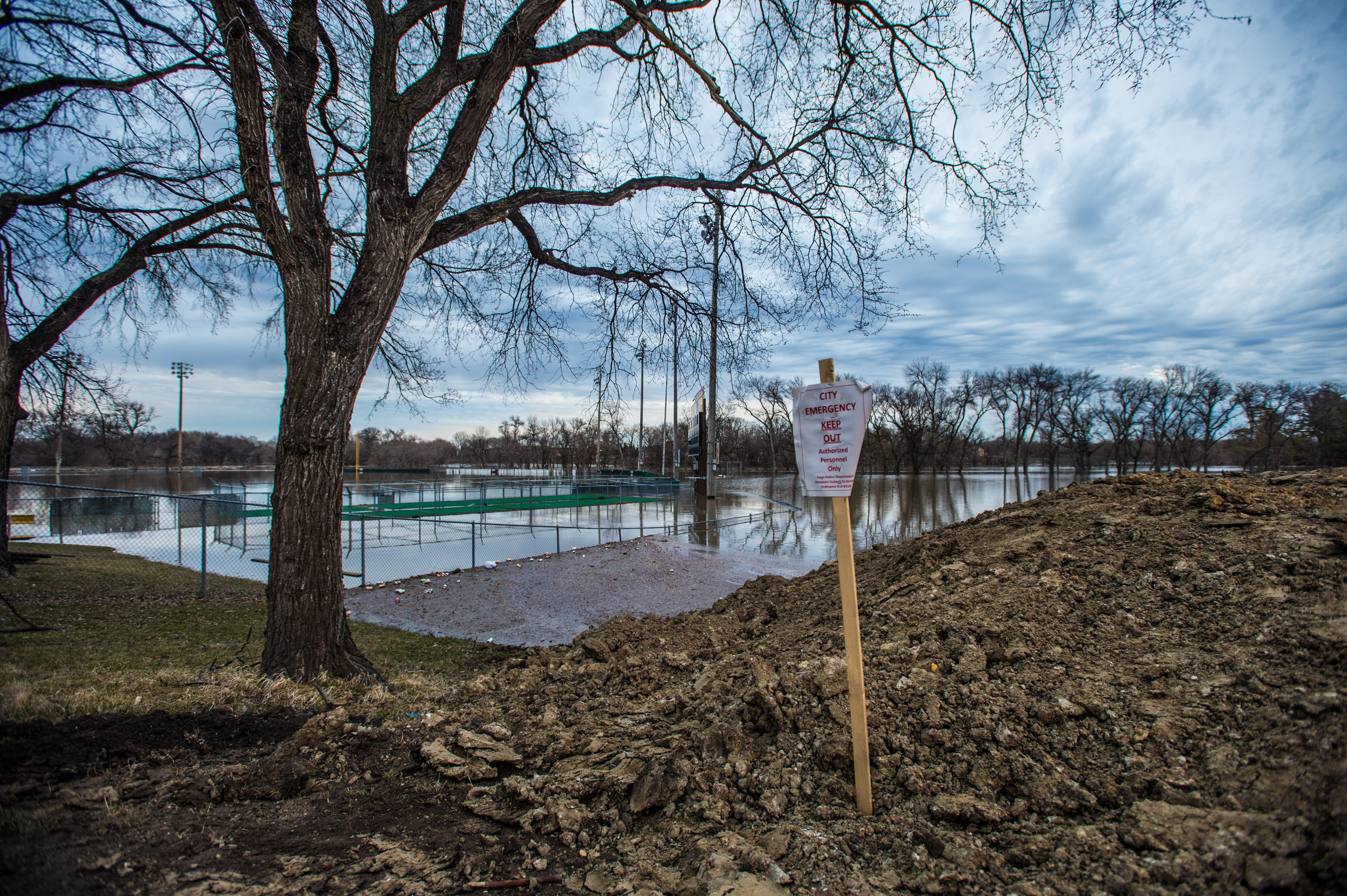
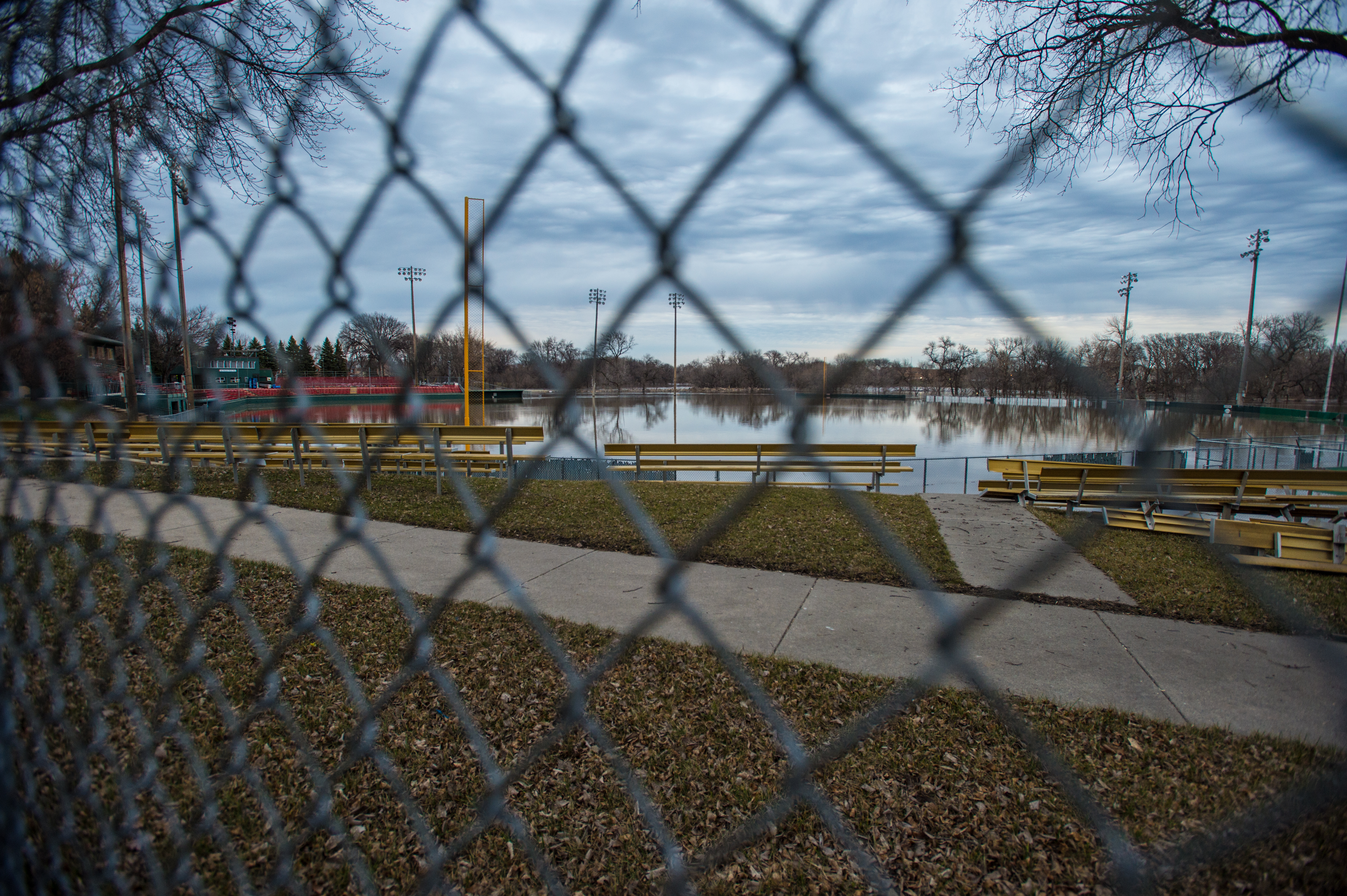
#flooding

Little Bluestem Prairie Grass Silhouette

Red River at Main Avenue
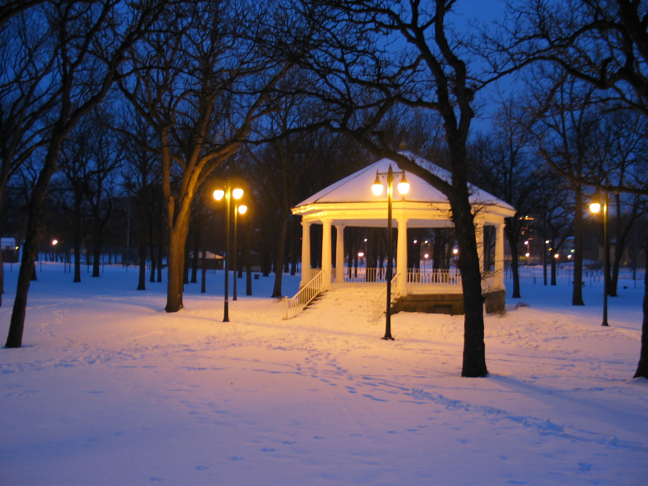
Island Park Gazebo, winter (Fargo, North Dakota)
2009-05-10 21:00:09 -0500

Bluestem Silhouette
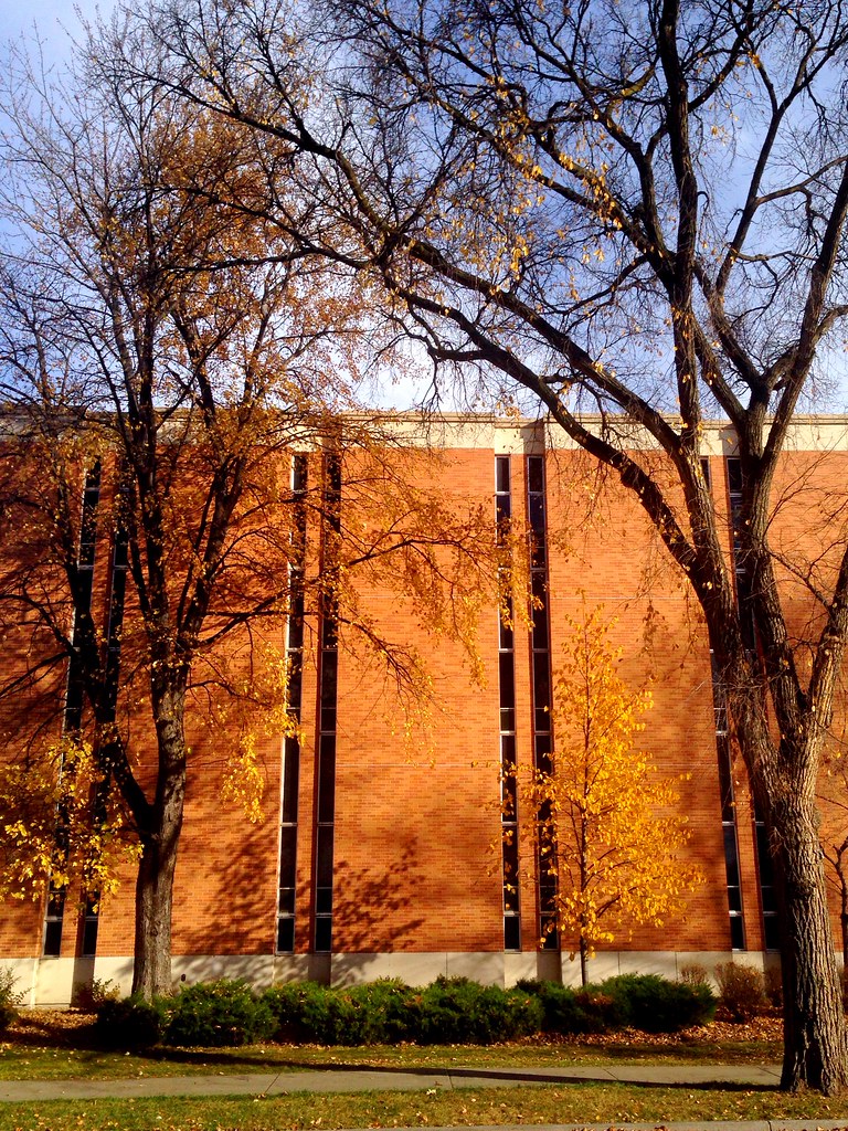
Remnants of fall on campus

flood 017

Bluestem Prairie
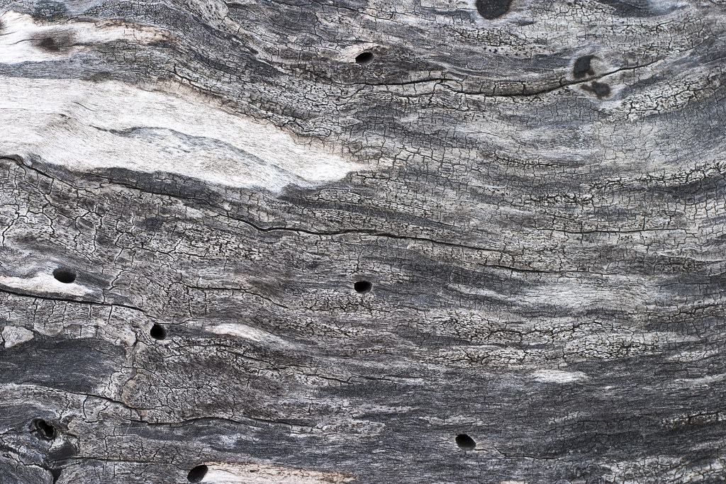
Weathered Wood

00 file0592
'Sown'
Doubling the Dike 10
Red River of the North
Topographic Map of Glyndon, MN, USA
Find elevation by address:

Places near Glyndon, MN, USA:
413 Partridge Ave S
922 Lund Ave S
St N, Glyndon, MN, USA
514 8th Ave Ne
Dilworth
17 2nd St N, Sabin, MN, USA
Sabin
1 Main St N, Dilworth, MN, USA
404 3rd St N
Spring Prairie Township
814 Nicole Ln
2777 34th St S
2777 34th St S
3600 Westmoor Dr
3218 Us-10
Clay County
th St S, Barnesville, MN, USA
2833 29th St S
rd Ave S, Sabin, MN, USA
20th Street North
Recent Searches:
- Elevation of Corso Fratelli Cairoli, 35, Macerata MC, Italy
- Elevation of Tallevast Rd, Sarasota, FL, USA
- Elevation of 4th St E, Sonoma, CA, USA
- Elevation of Black Hollow Rd, Pennsdale, PA, USA
- Elevation of Oakland Ave, Williamsport, PA, USA
- Elevation of Pedrógão Grande, Portugal
- Elevation of Klee Dr, Martinsburg, WV, USA
- Elevation of Via Roma, Pieranica CR, Italy
- Elevation of Tavkvetili Mountain, Georgia
- Elevation of Hartfords Bluff Cir, Mt Pleasant, SC, USA