Elevation of Clay County, MN, USA
Location: United States > Minnesota >
Longitude: -96.425758
Latitude: 46.878186
Elevation: 330m / 1083feet
Barometric Pressure: 97KPa
Elevation Map:
Satellite Map:
Related Photos:
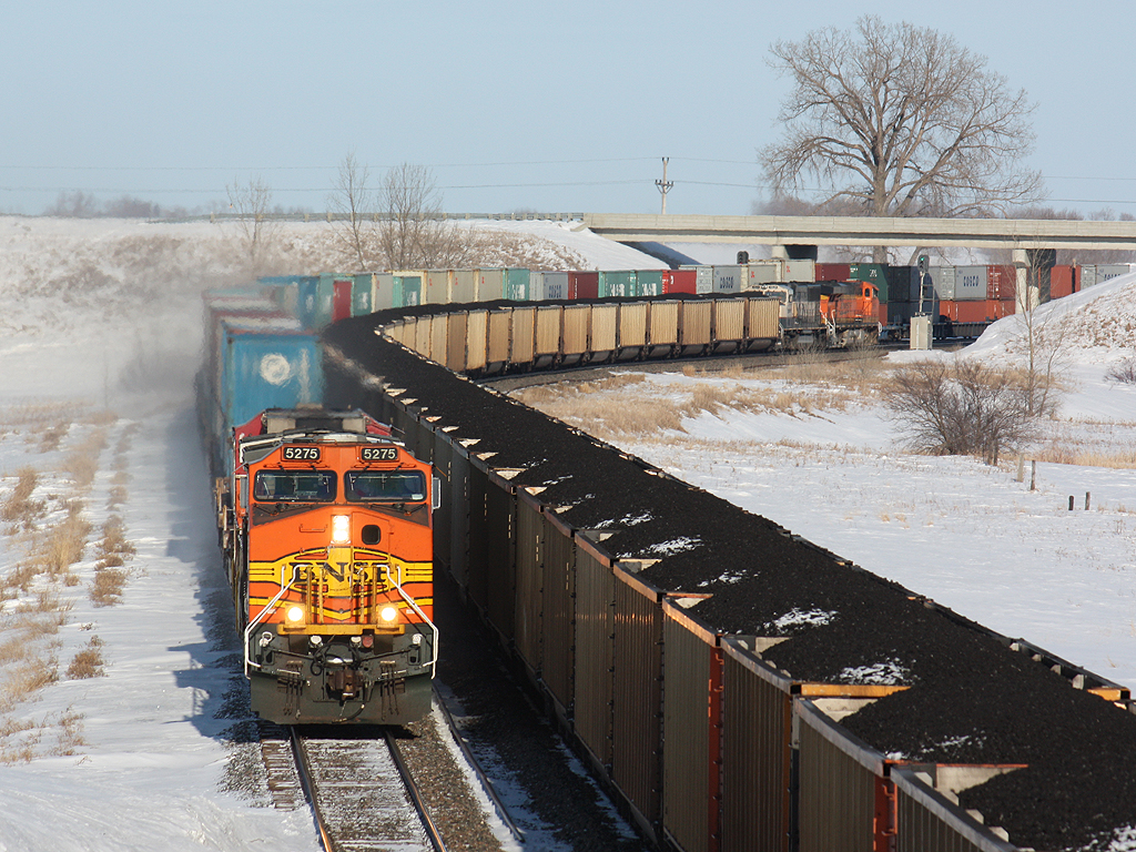
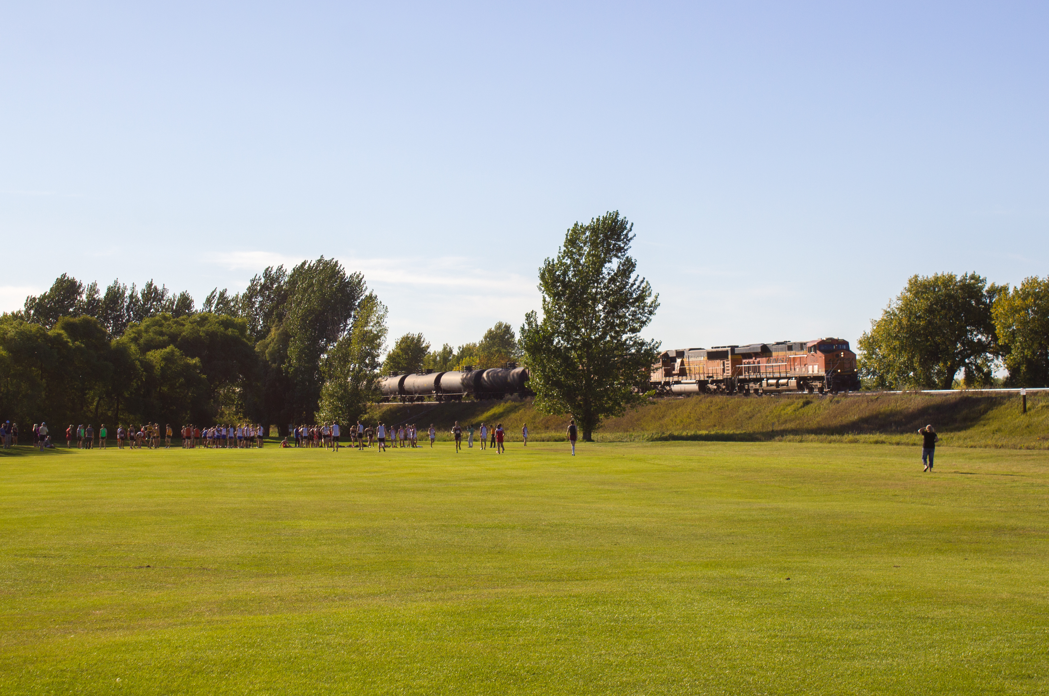
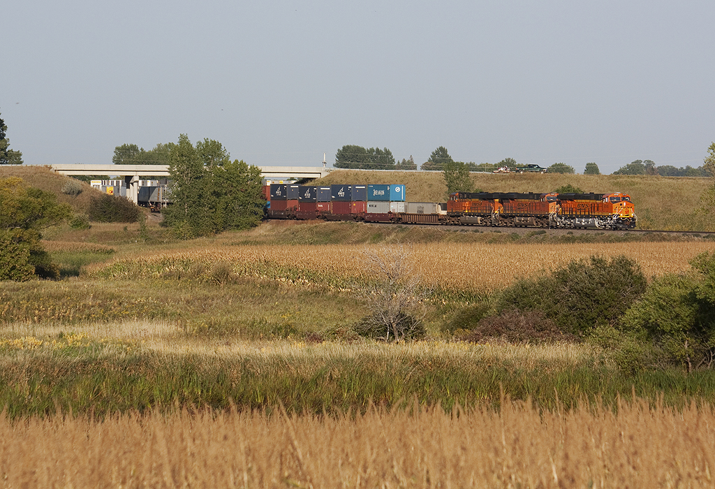
Loads Meet Stacks at Hawley
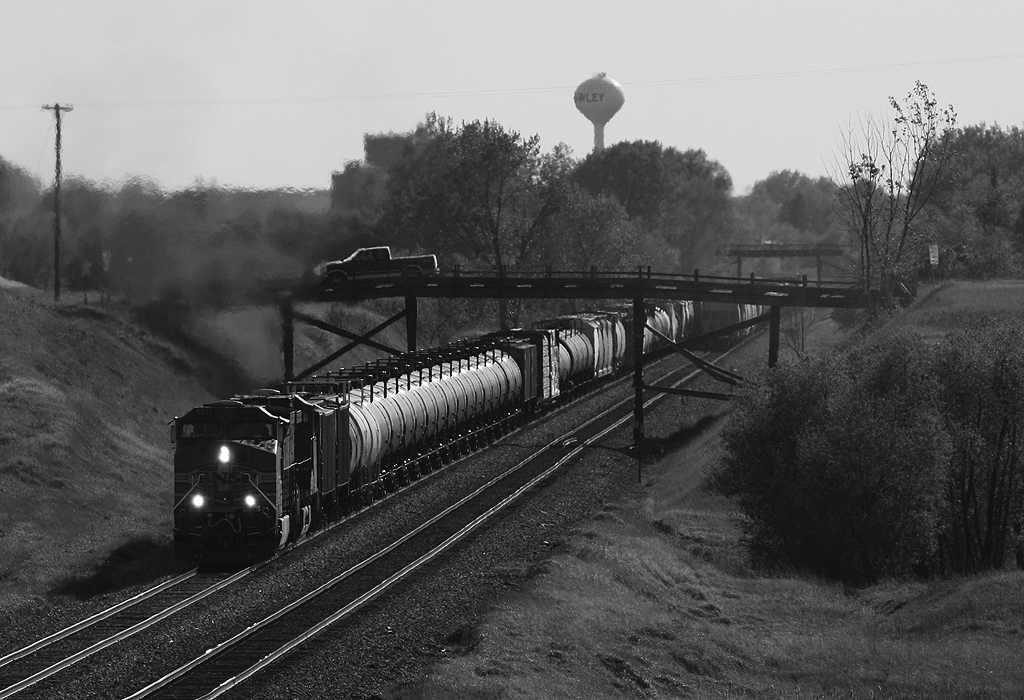
Meeting under the Wooden Bridges

2012-05-09-03012
2012-05-09-03015

Old & New
BNSF 4592 - Hawley, MN

Empire Builder along the Prairie

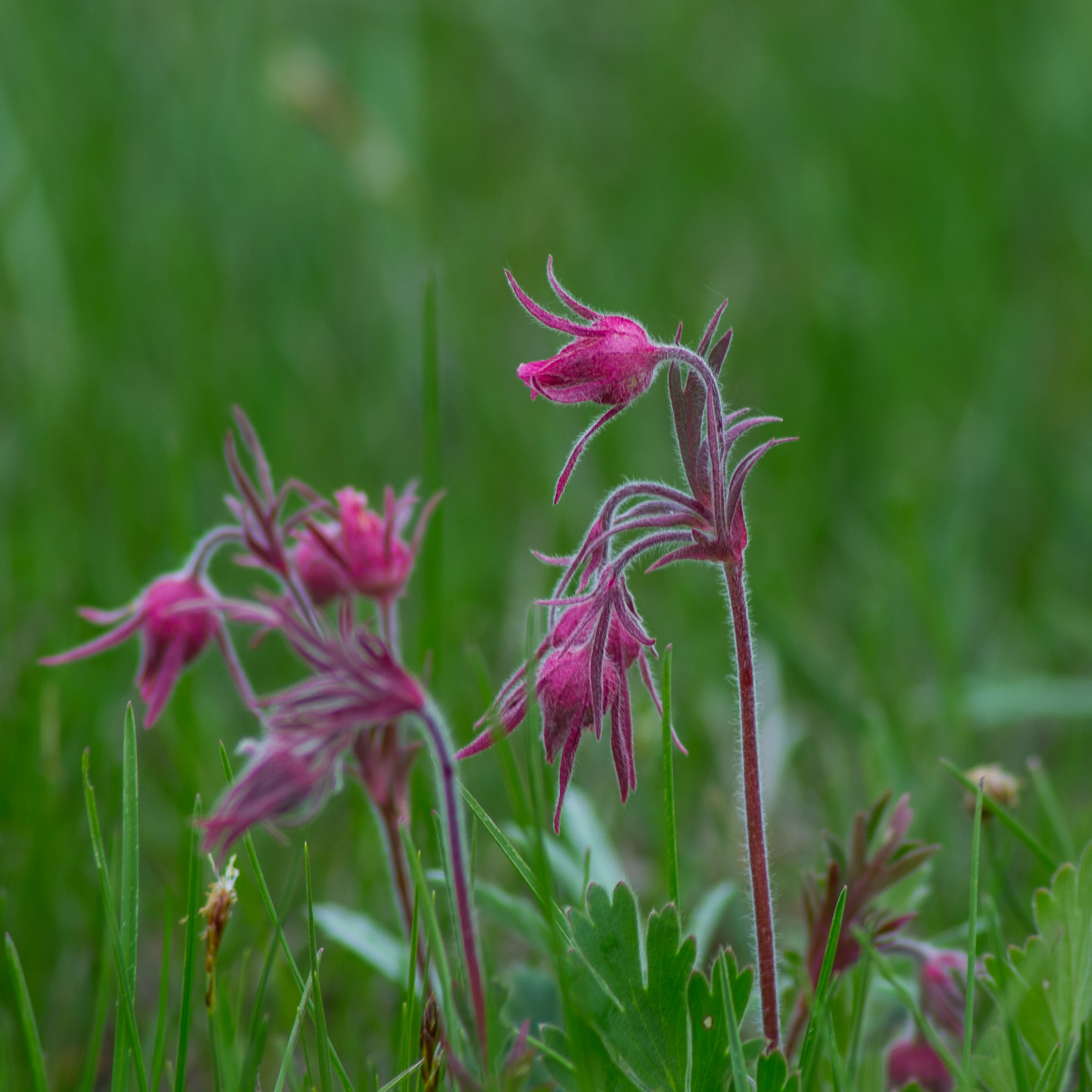
Wild Onion

Little Bluestem Prairie Grass Silhouette

Bluestem Silhouette

Bluestem Prairie
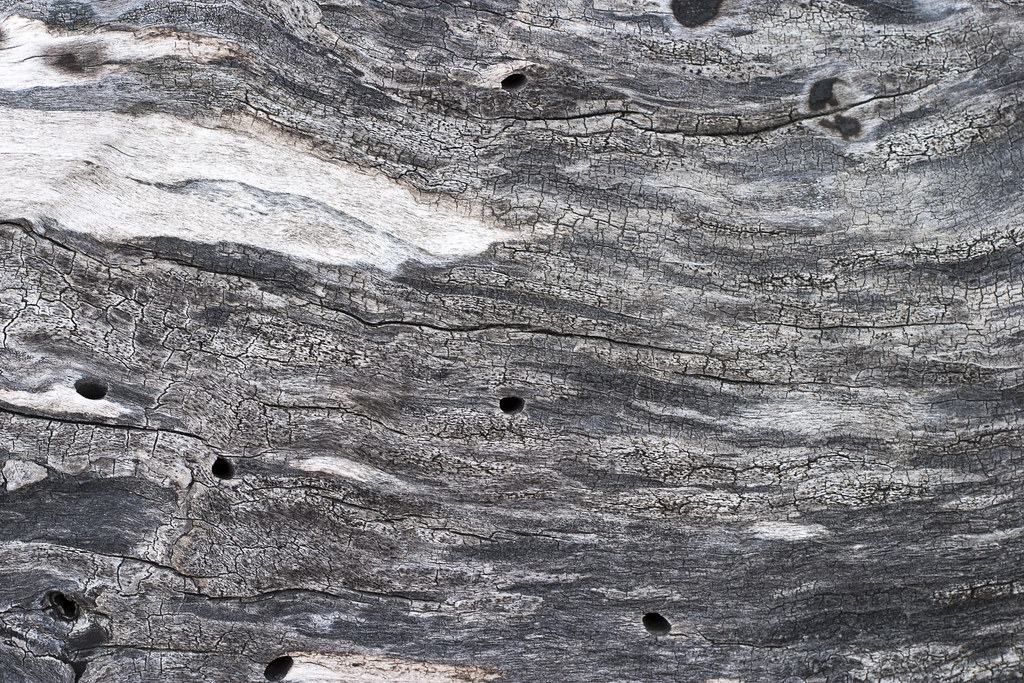
Weathered Wood
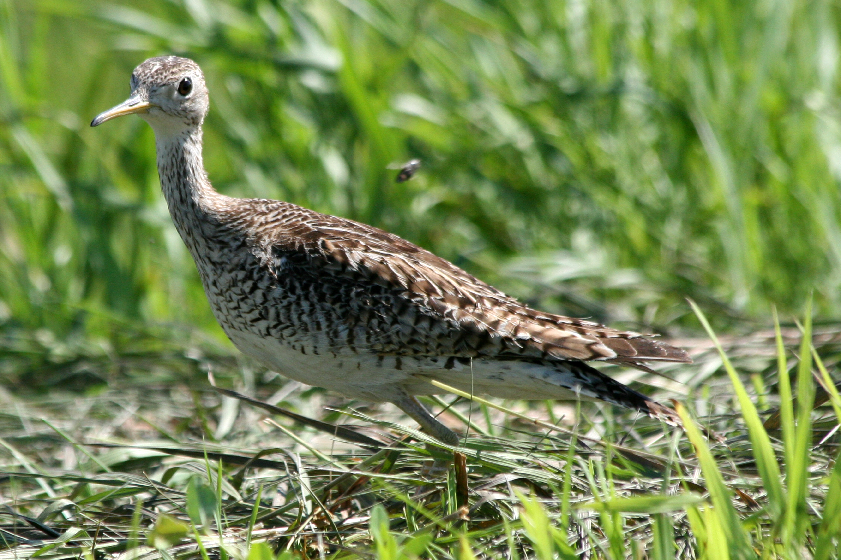
upland sandpiper
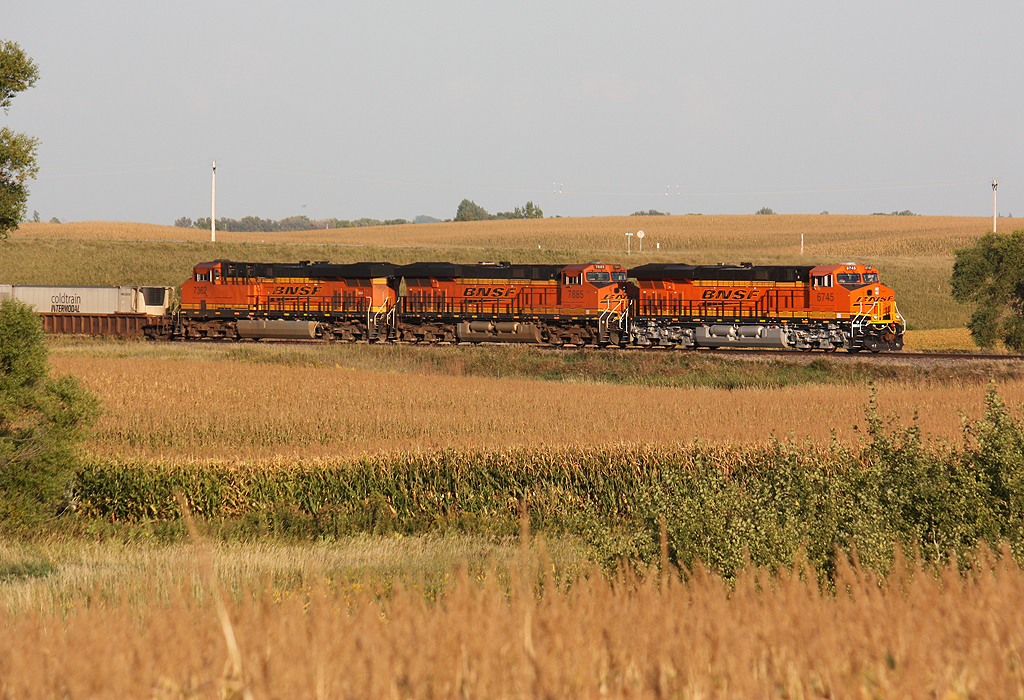
BNSF 6424
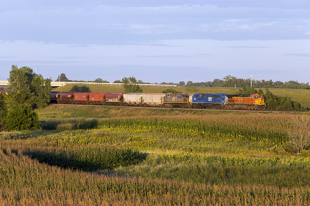
New, Newer, and Newest at Hawley
BNSF 9718
Showers Rolling in over Bluestem Prairie
stacktrainglyndon-2
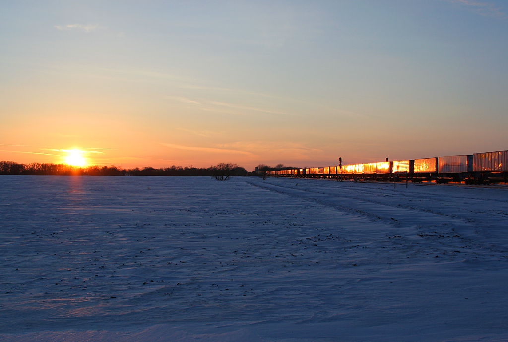
glyndonsunset-1
stacktrainglyndon-3
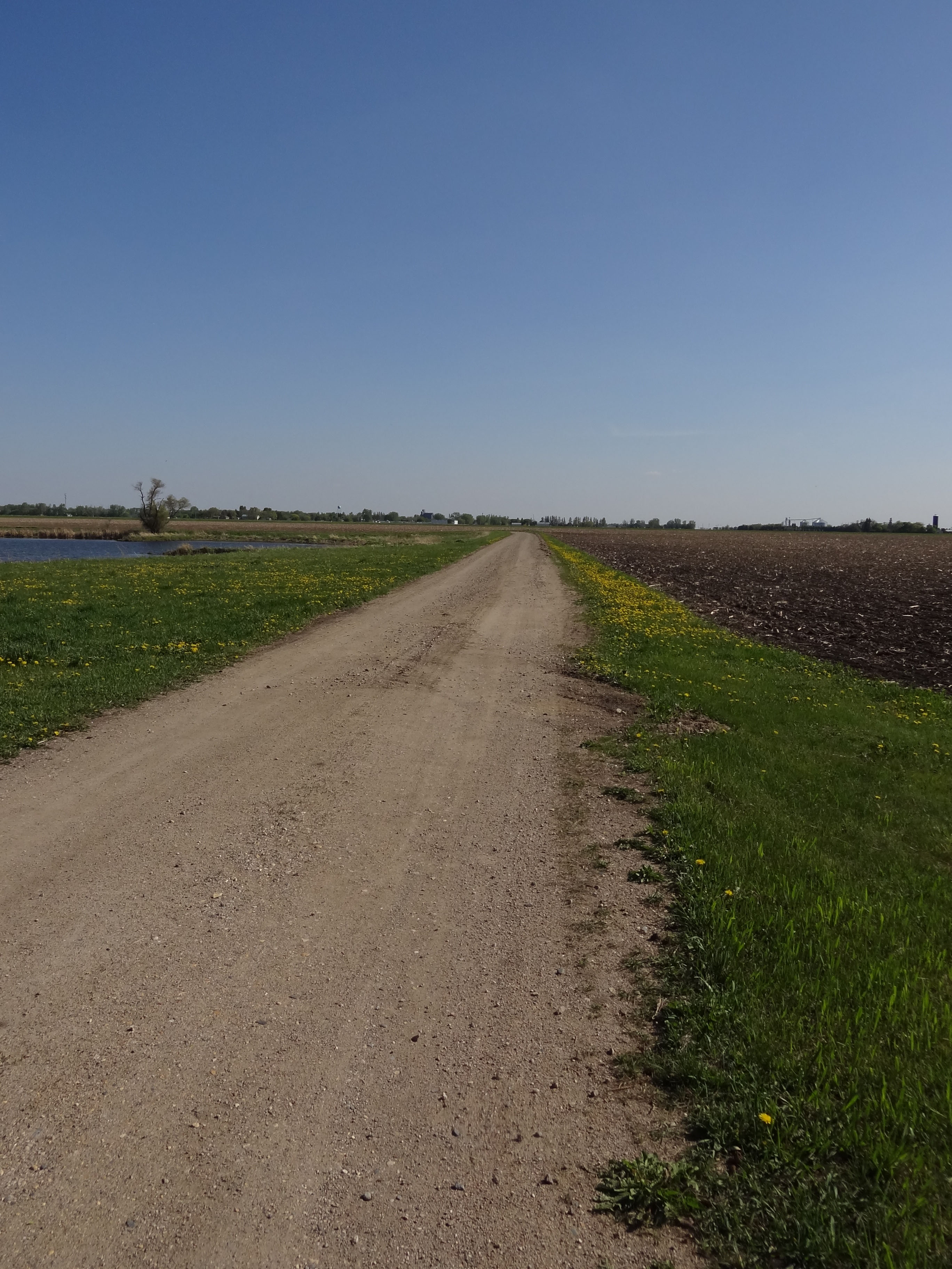
Across the Corn and Under Hwy 32
Spring Wildflowers
2012-05-09-03013

2012-05-09-03014
2012-05-09-03016
Topographic Map of Clay County, MN, USA
Find elevation by address:

Places in Clay County, MN, USA:
Glyndon
Barnesville
Moorhead
Hawley Township
Spring Prairie Township
Comstock
Holy Cross Township
Parke Township
4th Ave SE, Barnesville, MN, USA
Wall St Ave N, Moorhead, MN, USA
rd Ave S, Sabin, MN, USA
1 Main St N, Dilworth, MN, USA
7th St, Felton, MN, USA
50th Ave S, Moorhead, MN, USA
Main St, Hawley, MN, USA
52 W Front St, Hitterdal, MN, USA
21st St N, Moorhead, MN, USA
MN-32, Detroit Lakes, MN, USA
17 2nd St N, Sabin, MN, USA
Sabin
Georgetown
Ulen
Hawley
Dilworth
Places near Clay County, MN, USA:
12th Ave S, Hawley, MN, USA
Spring Prairie Township
Hawley Township
Hawley
Main St, Hawley, MN, USA
th St S, Barnesville, MN, USA
922 Lund Ave S
St N, Glyndon, MN, USA
Glyndon
413 Partridge Ave S
22428 120th Ave S
52 W Front St, Hitterdal, MN, USA
26321 70th Ave S
rd Ave S, Sabin, MN, USA
7th St, Felton, MN, USA
Barnesville
2nd Ave SE, Rothsay, MN, USA
Parke Township
MN-32, Detroit Lakes, MN, USA
9531 280th St S
Recent Searches:
- Elevation of Corso Fratelli Cairoli, 35, Macerata MC, Italy
- Elevation of Tallevast Rd, Sarasota, FL, USA
- Elevation of 4th St E, Sonoma, CA, USA
- Elevation of Black Hollow Rd, Pennsdale, PA, USA
- Elevation of Oakland Ave, Williamsport, PA, USA
- Elevation of Pedrógão Grande, Portugal
- Elevation of Klee Dr, Martinsburg, WV, USA
- Elevation of Via Roma, Pieranica CR, Italy
- Elevation of Tavkvetili Mountain, Georgia
- Elevation of Hartfords Bluff Cir, Mt Pleasant, SC, USA