Elevation of 17 2nd St N, Sabin, MN, USA
Location: United States > Minnesota > Clay County >
Longitude: -96.652826
Latitude: 46.7797792
Elevation: 283m / 928feet
Barometric Pressure: 98KPa
Elevation Map:
Satellite Map:
Related Photos:

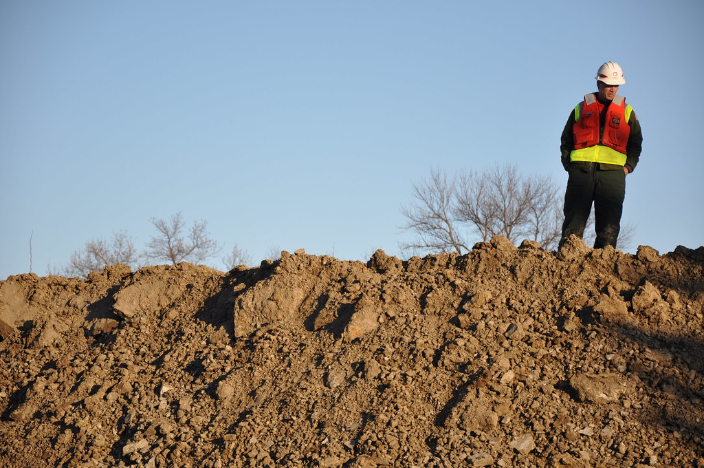
Heart of the City
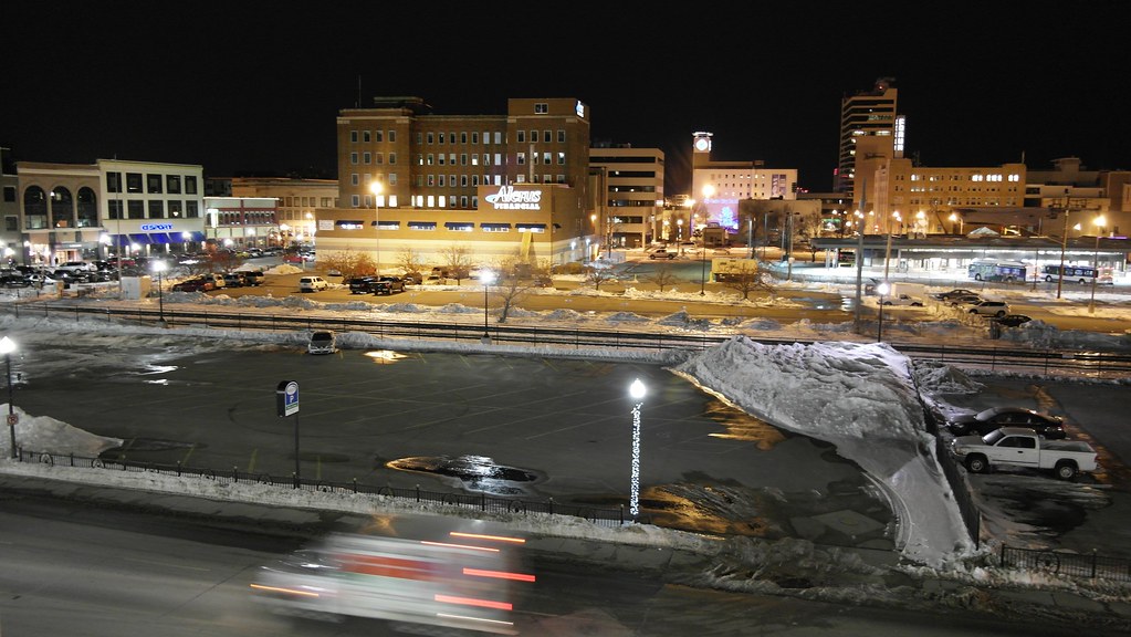
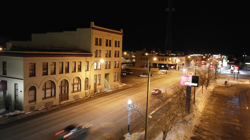
From Above

Southwest View

Then and now
20130429-NRCS-LSC-0367
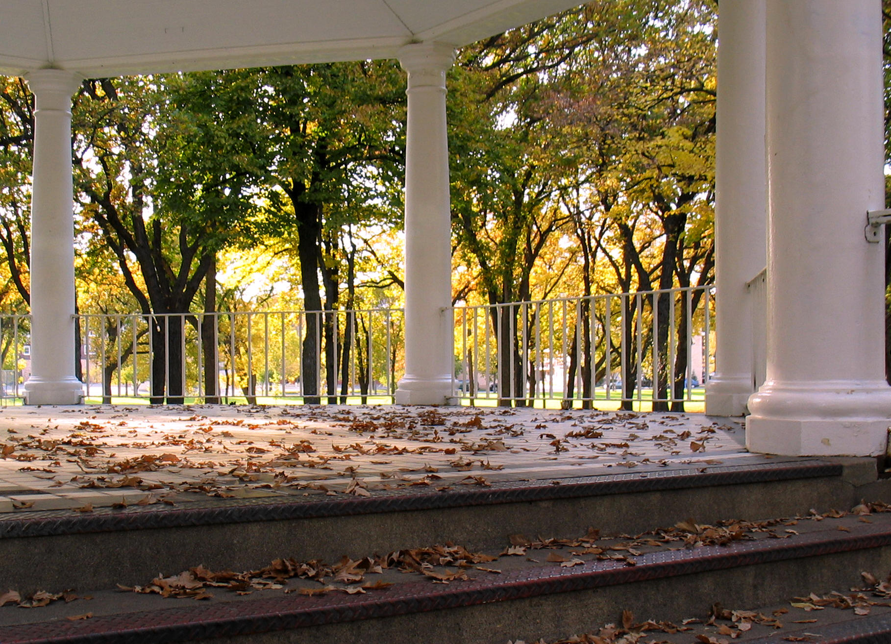
Island Park gazebo, autumn (Fargo, North Dakota)
20130429-NRCS-LSC-0343

20130429-NRCS-LSC-0354
20130429-NRCS-LSC-0345
Westbound "Empire Builder" - 2, Fargo, ND, 1975
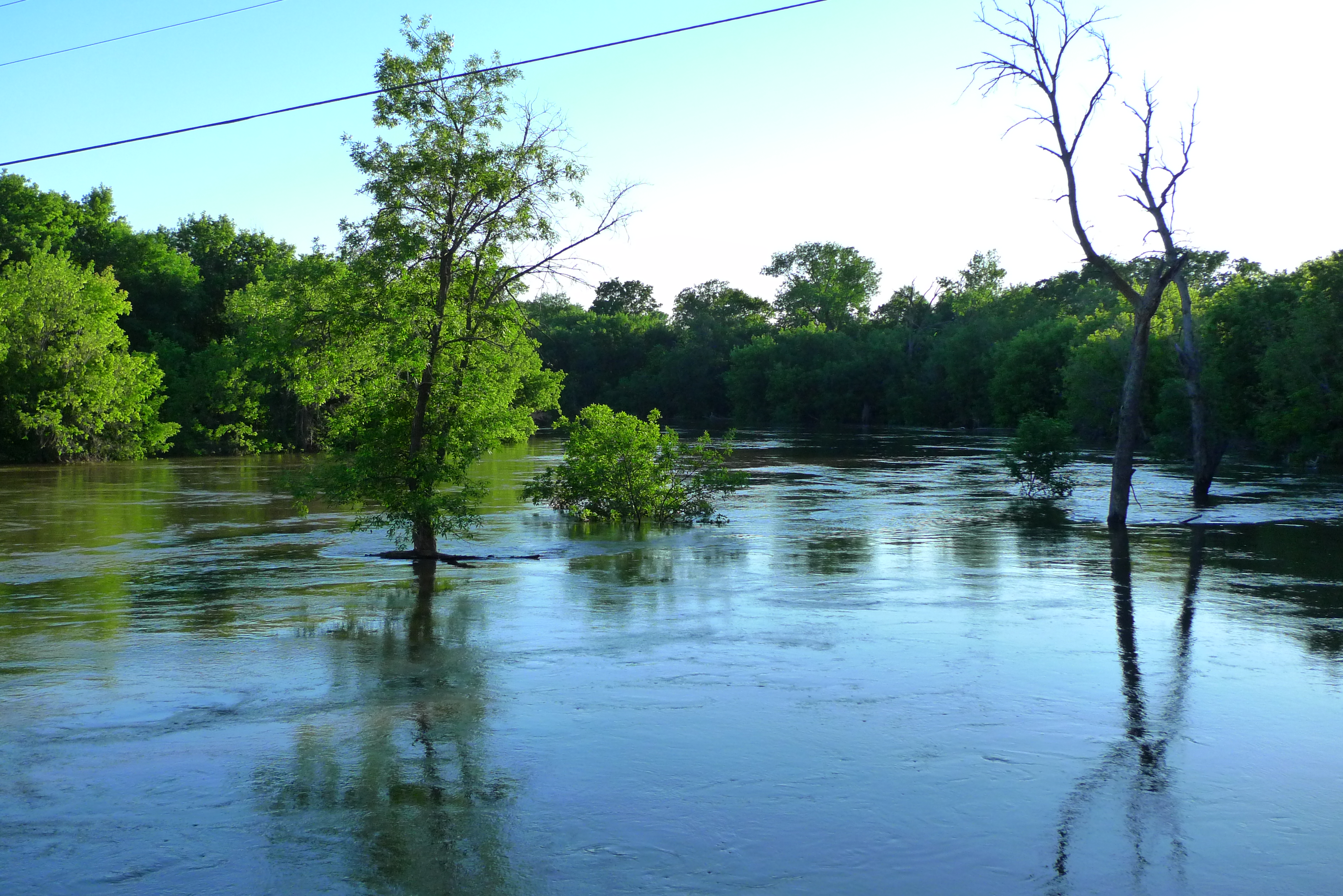
Red River Flood, April 1997 (4)
Fargo flood panorama, April 3, 2006
Main Ave

Wide View
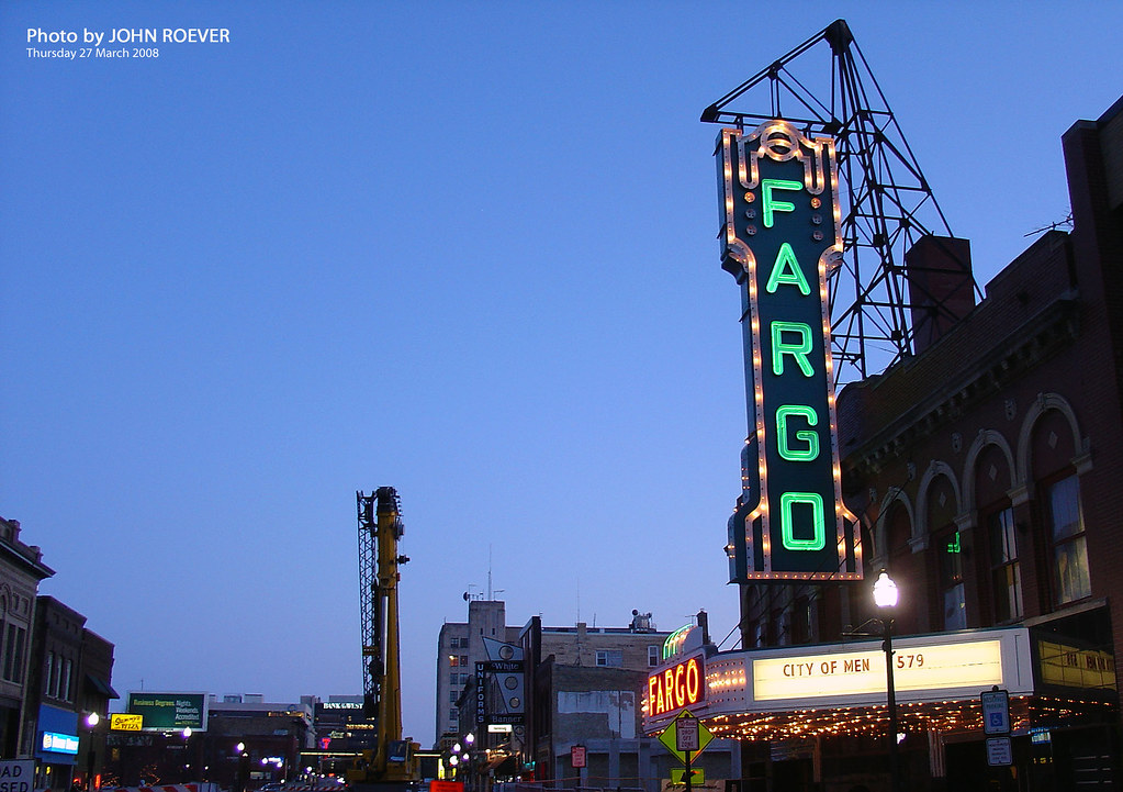
Fargo Theatre, 27 March 2008 (1)
View from the top

365-073

Prairie Dog
Down the Line

365-050

365-086

Lindenwood rays
Fog on the Red

It's complicated
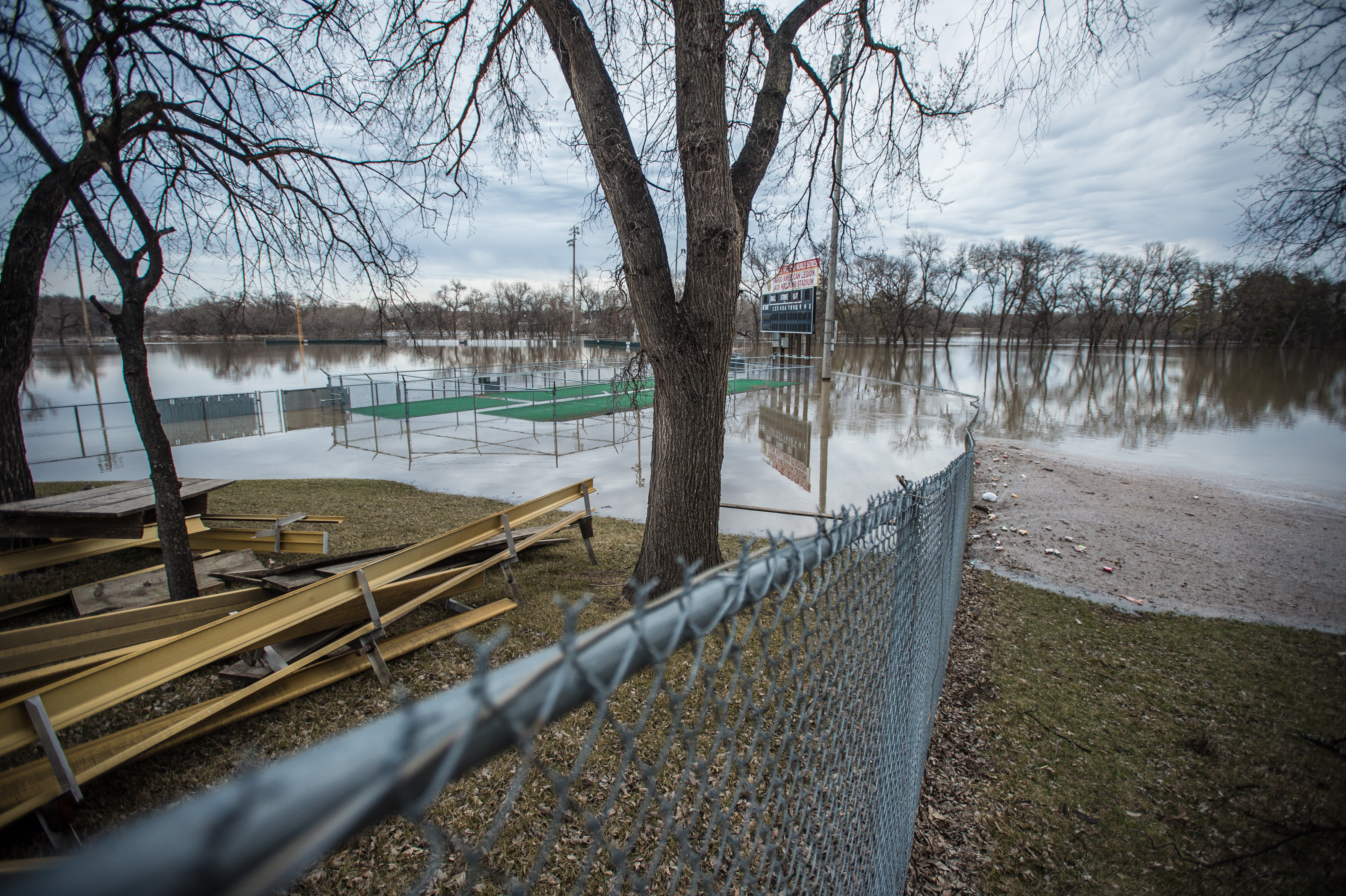
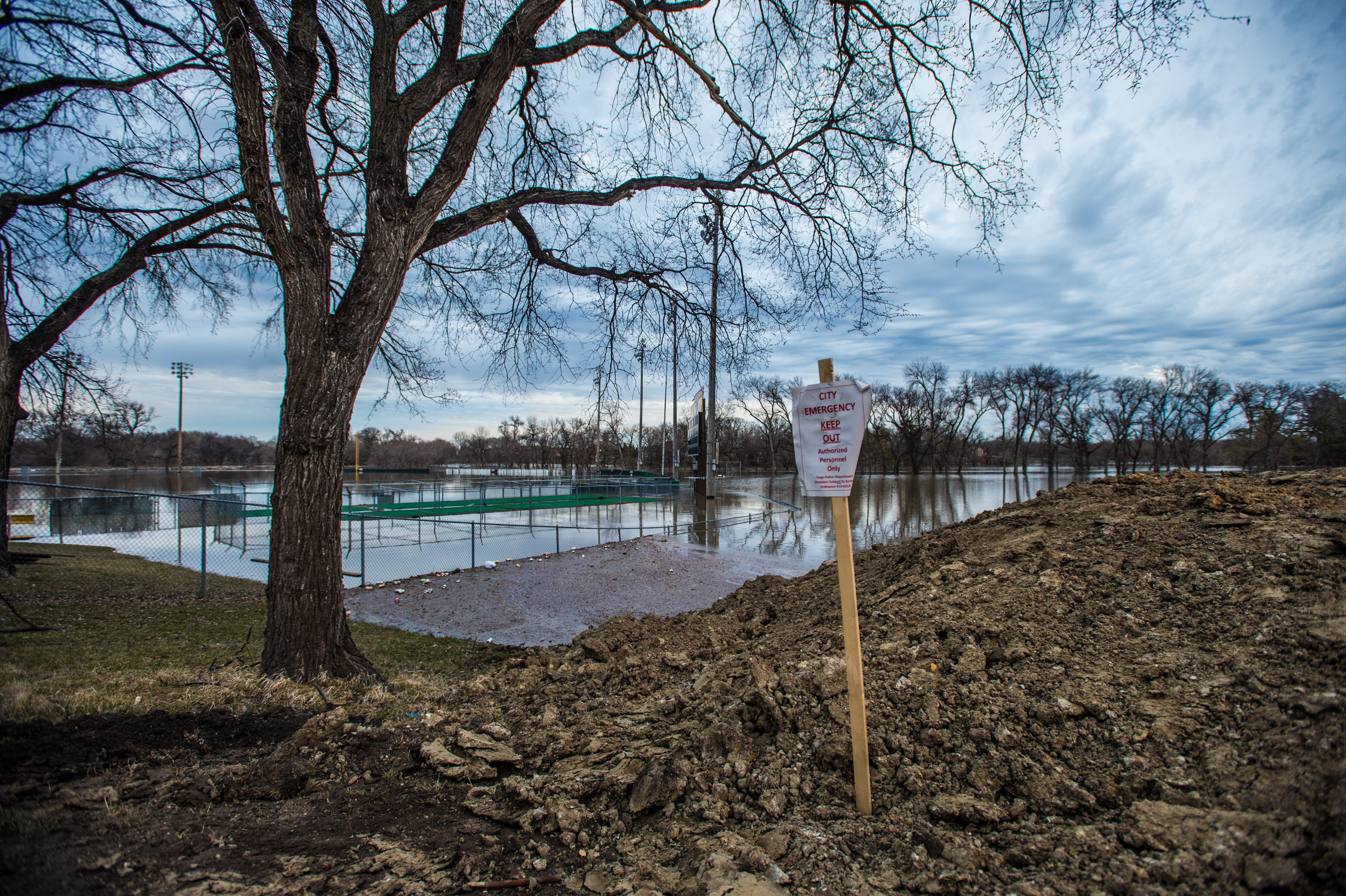
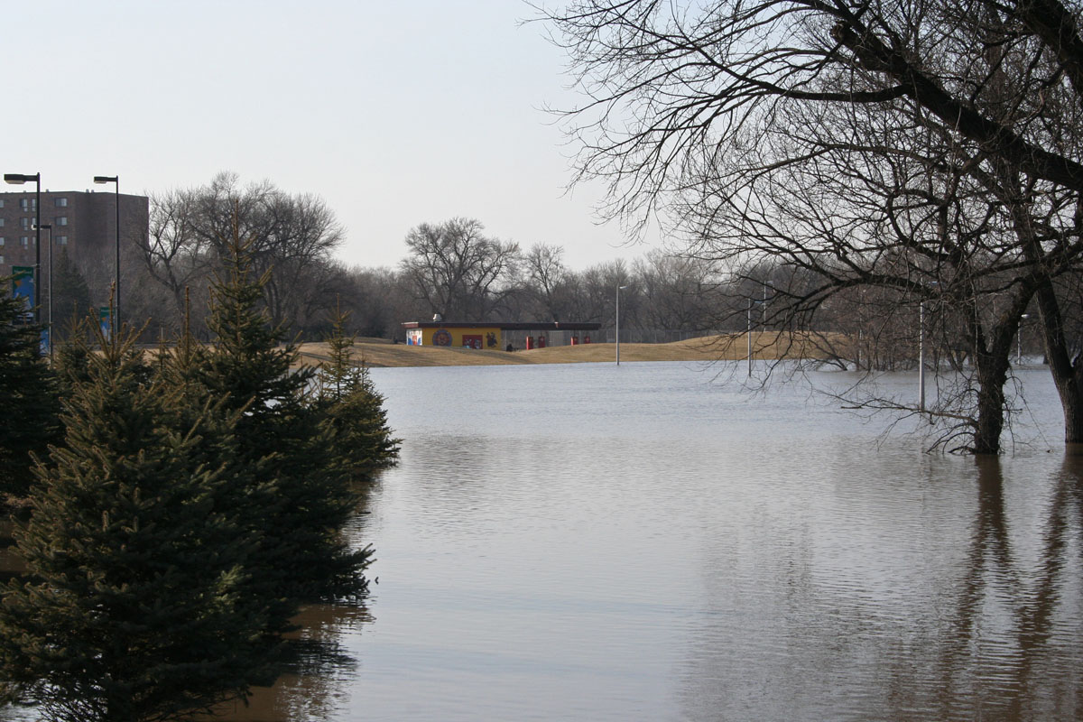
#flooding
lindenwood park small

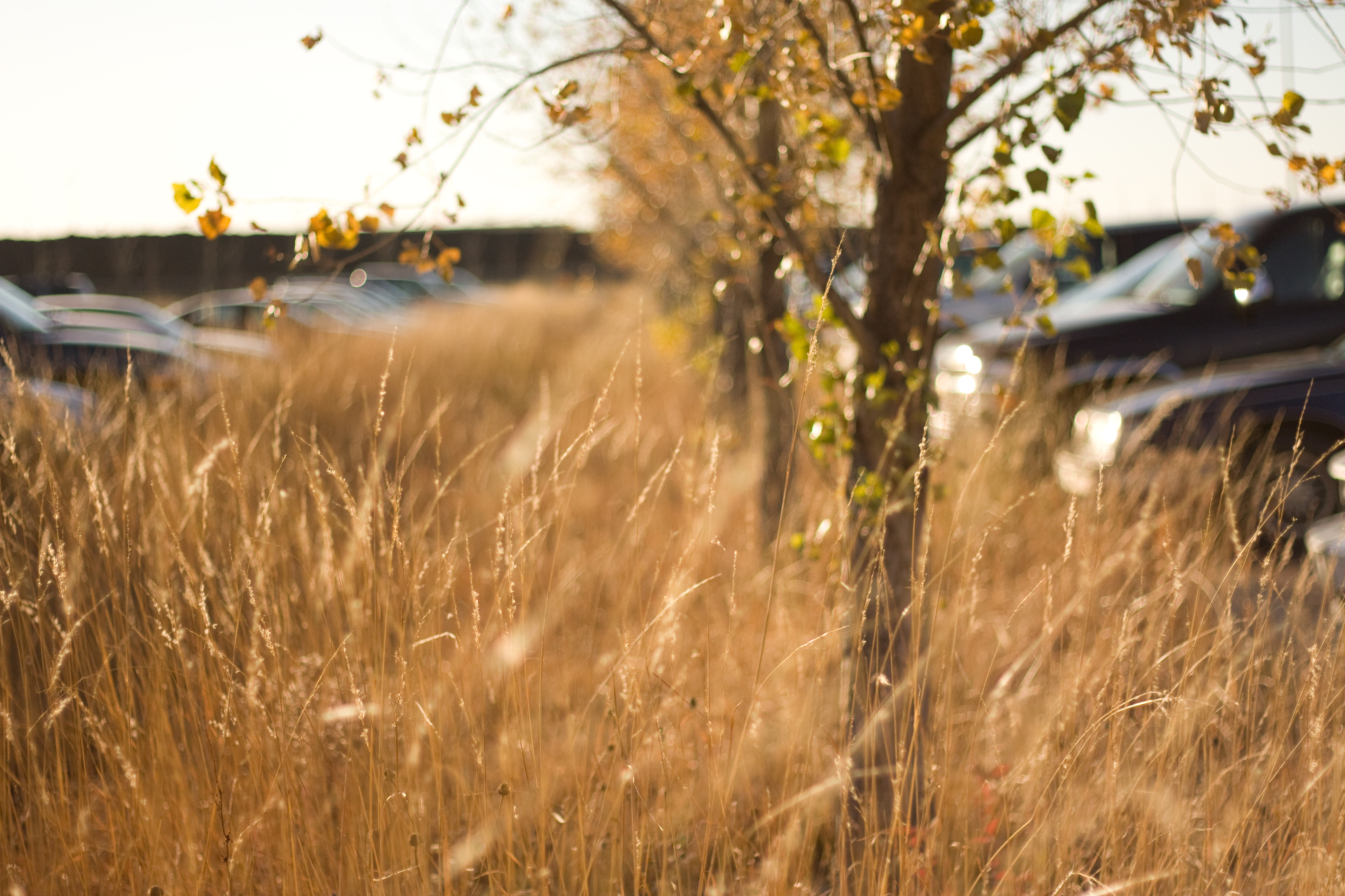
Little Bluestem Prairie Grass Silhouette
Remnants of fall on campus
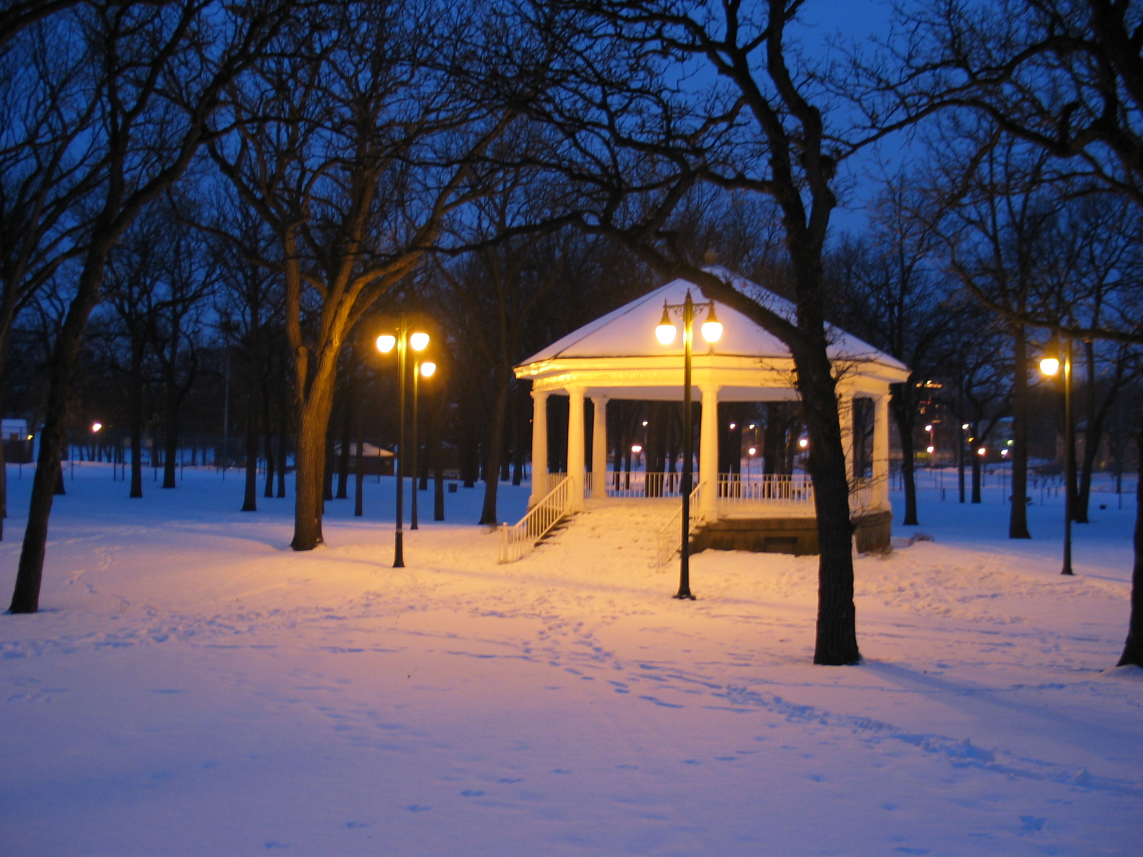
Island Park Gazebo, winter (Fargo, North Dakota)

Bluestem Silhouette
#fargo #nd #wheat #hdr #aesthetestudios #instagood #igdaily #iphone #iphone5 #iphoneonly #tweegram #photooftheday #iphonesia #instamood #igers #picoftheday #instagramhub #instadaily #bestoftheday #follow #instahub #followme #photo #webstagram

Day 17
Red River of the North

00 file0592
'Sown'
Doubling the Dike 10
Floody Red
Down the line
flood 063

Four-spotted skimmer
Topographic Map of 17 2nd St N, Sabin, MN, USA
Find elevation by address:

Places near 17 2nd St N, Sabin, MN, USA:
Sabin
404 3rd St N
3600 Westmoor Dr
Kurtz Township
2777 34th St S
2777 34th St S
2833 29th St S
50th Ave S, Moorhead, MN, USA
Dilworth
1 Main St N, Dilworth, MN, USA
514 8th Ave Ne
1432 41st Ave S
4th Ave SE, Barnesville, MN, USA
922 Lund Ave S
413 Partridge Ave S
Holy Cross Township
814 Nicole Ln
rd Ave S, Sabin, MN, USA
4103 10th St S
Glyndon
Recent Searches:
- Elevation of Corso Fratelli Cairoli, 35, Macerata MC, Italy
- Elevation of Tallevast Rd, Sarasota, FL, USA
- Elevation of 4th St E, Sonoma, CA, USA
- Elevation of Black Hollow Rd, Pennsdale, PA, USA
- Elevation of Oakland Ave, Williamsport, PA, USA
- Elevation of Pedrógão Grande, Portugal
- Elevation of Klee Dr, Martinsburg, WV, USA
- Elevation of Via Roma, Pieranica CR, Italy
- Elevation of Tavkvetili Mountain, Georgia
- Elevation of Hartfords Bluff Cir, Mt Pleasant, SC, USA