Elevation of Holy Cross Township, MN, USA
Location: United States > Minnesota > Clay County >
Longitude: -96.726059
Latitude: 46.6859709
Elevation: 280m / 919feet
Barometric Pressure: 98KPa
Elevation Map:
Satellite Map:
Related Photos:

Prairie Dog

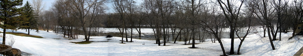
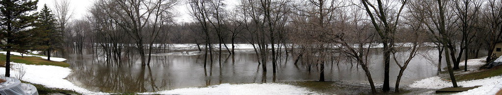
Back Yard View 3/24 1227
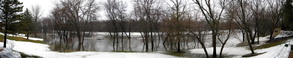
Back Yard View 3/22

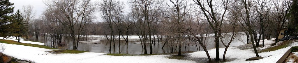
Back Yard View 3/23 1100

Back Yard View 3/21
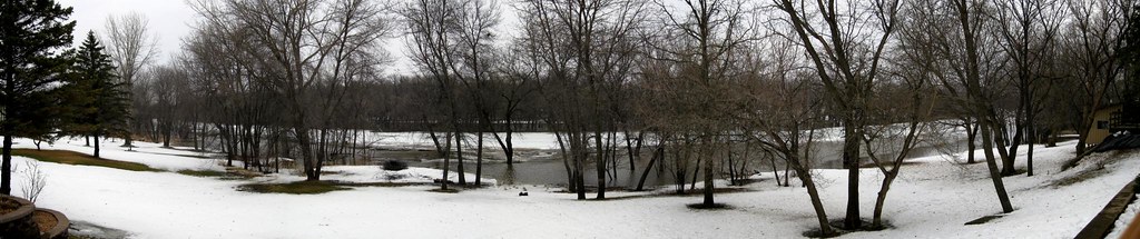
Back Yard View 3/23 0800
Back Yard View 3/22
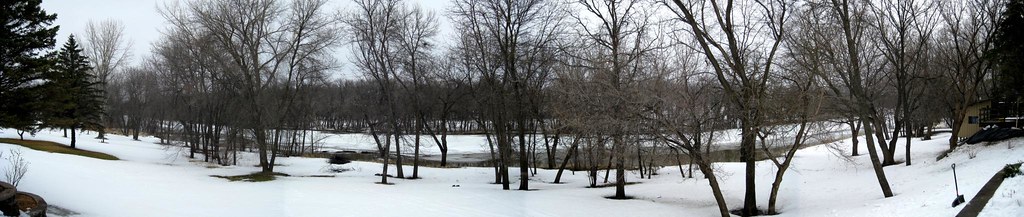
Back Yard View 3/20
Backyard View 3/23 1745
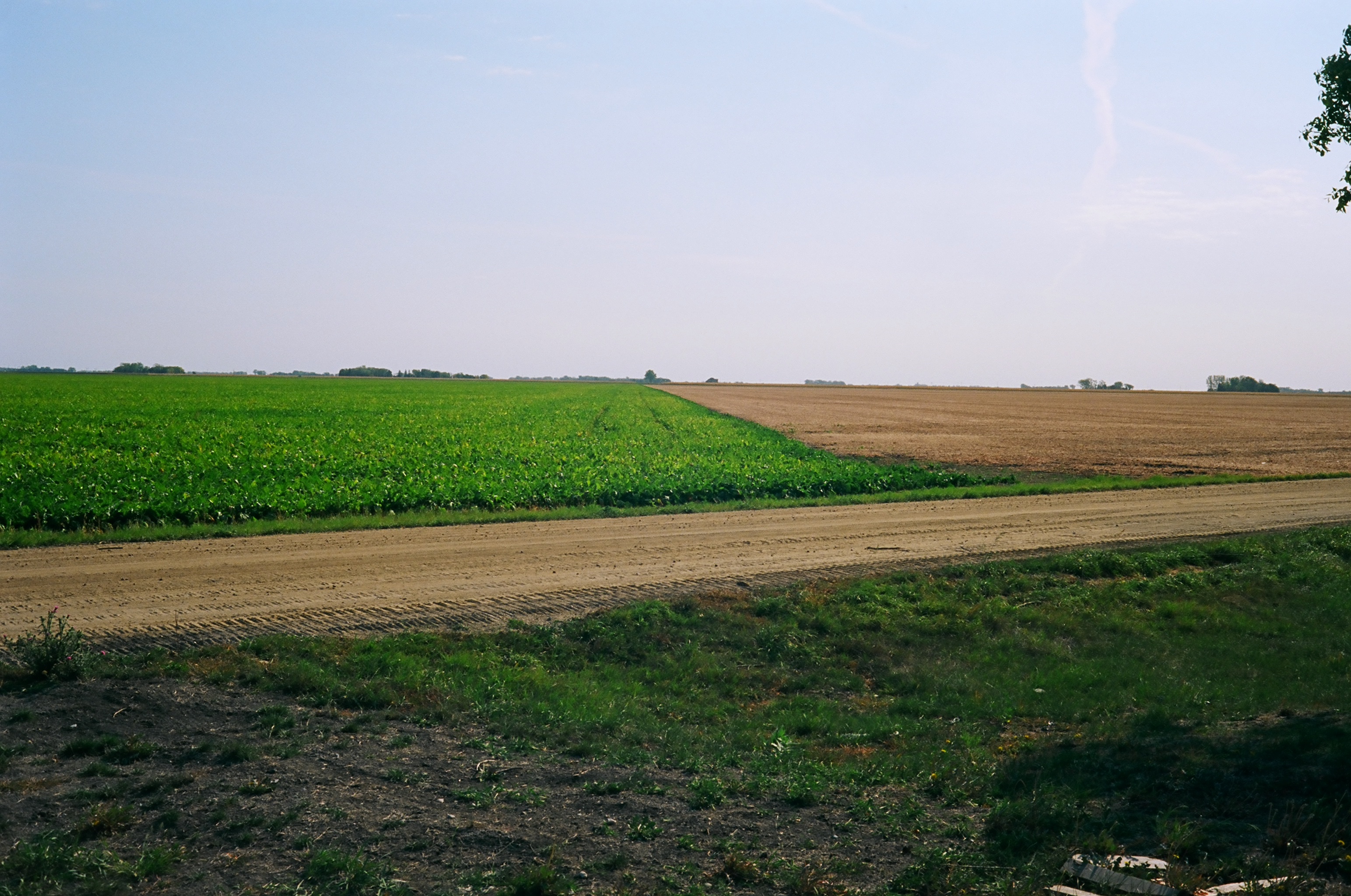
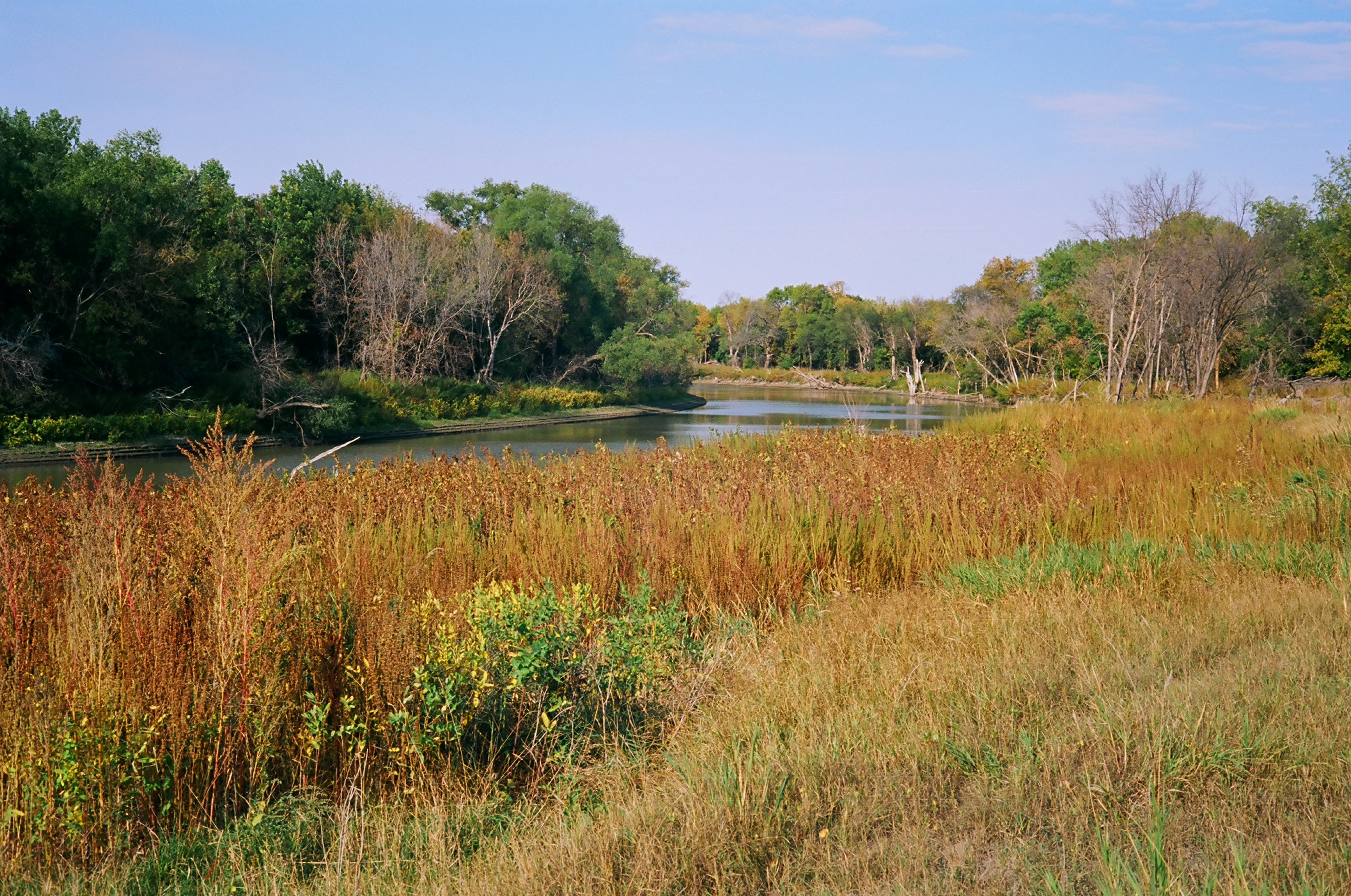
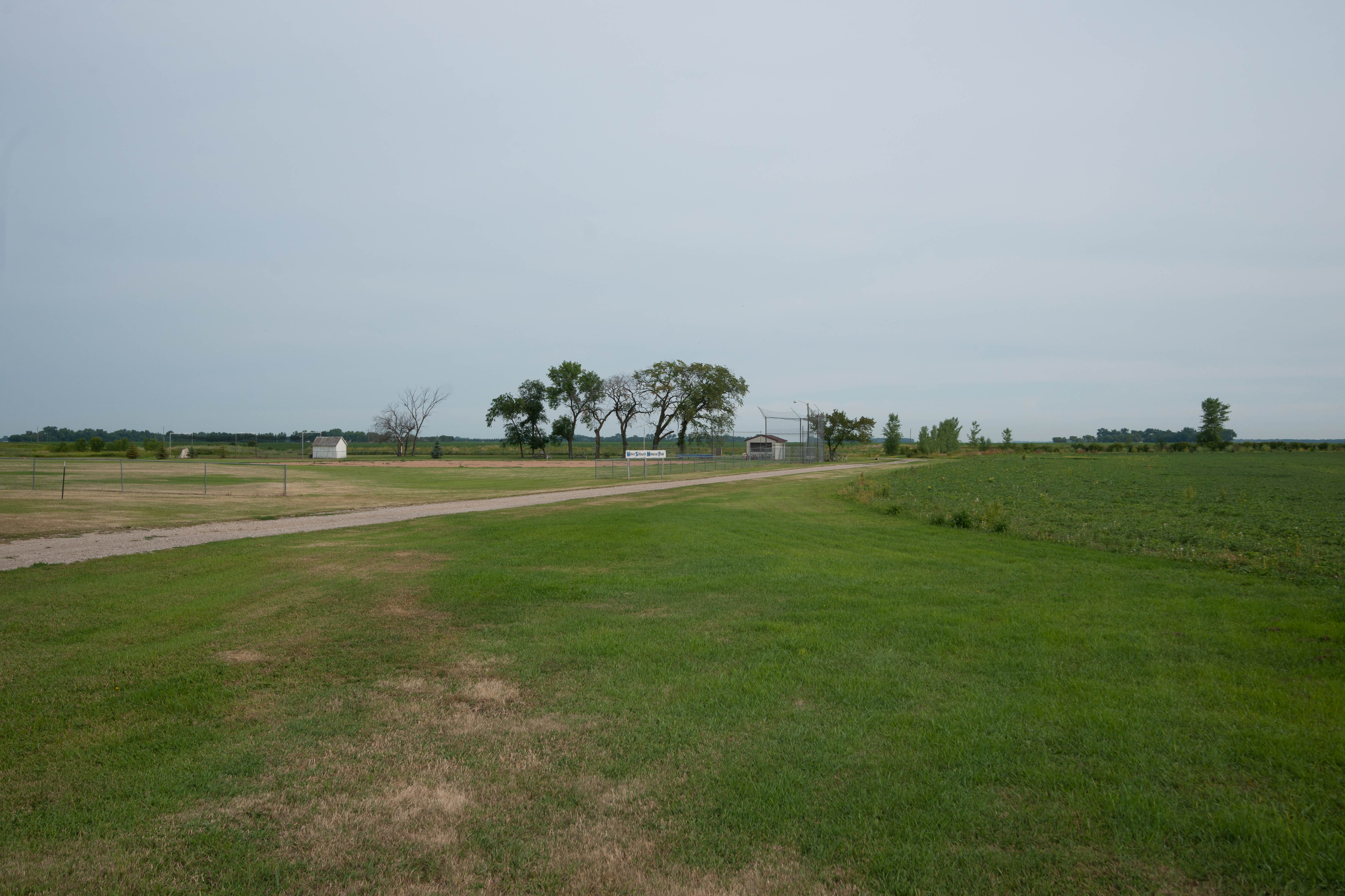
The fields and distant horizon
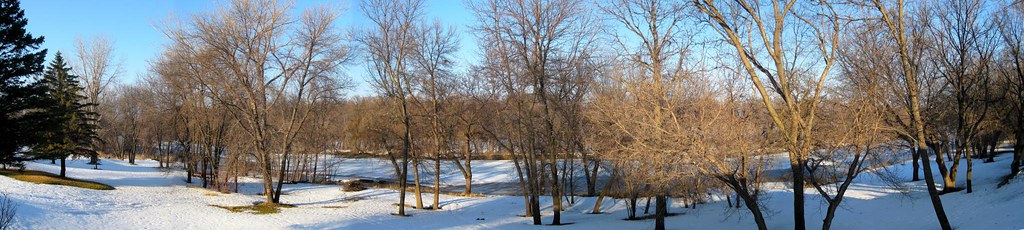
Back Yard View 3/23 1334
Back Yard View 3/21

Four-spotted skimmer

Fargo Sioux-Per Swing
My childhood back yard

Fargo Sioux-Per Swing 014
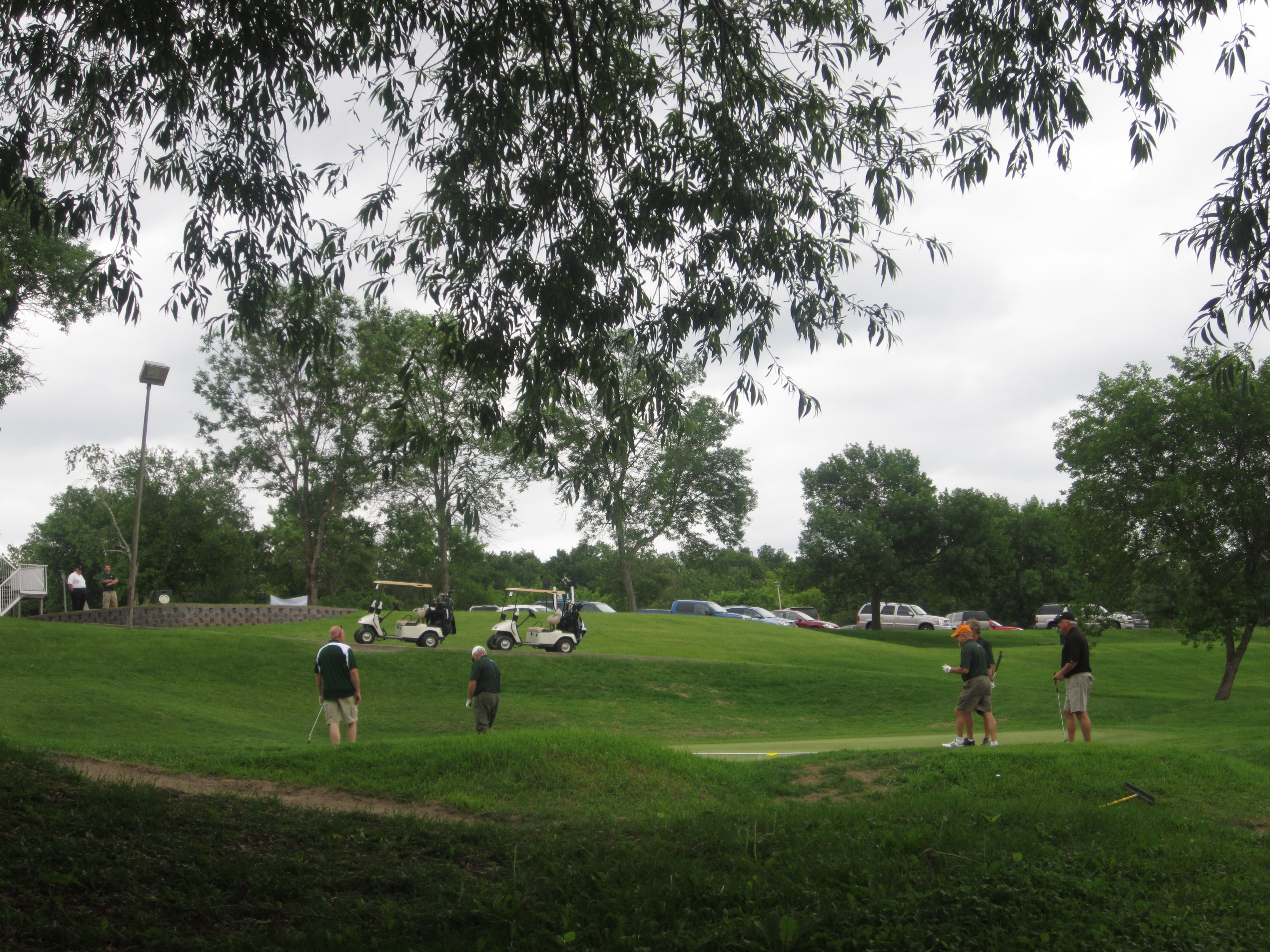
Fargo Sioux-Per Swing
Briarwood, North Dakota
My childhood street
Christine, North Dakota

Fargo Sioux-Per Swing
Formerly a mowed lawn

Fargo Sioux-Per Swing
Fargo Sioux-Per Swing 019

Fargo Sioux-Per Swing 018

Fargo Sioux-Per Swing

Fargo Sioux-Per Swing 024

Fargo Sioux-Per Swing 013
I'm in potato country
Topographic Map of Holy Cross Township, MN, USA
Find elevation by address:

Places near Holy Cross Township, MN, USA:
th Ave S, Comstock, MN, USA
Comstock
12884 Us-75
Wolverton Township
Kurtz Township
4th Ave SE, Barnesville, MN, USA
1st Street South
404 3rd St N
Q6h3+9m
7314 Chrisan Blvd
7309 S University Dr #20th
Sabin
17 2nd St N, Sabin, MN, USA
Claire Drive South
Wolverton
7390 20th St S
1801 70th Ave S
Stanley
50th Ave S, Moorhead, MN, USA
3010 88th Ave S
Recent Searches:
- Elevation of Corso Fratelli Cairoli, 35, Macerata MC, Italy
- Elevation of Tallevast Rd, Sarasota, FL, USA
- Elevation of 4th St E, Sonoma, CA, USA
- Elevation of Black Hollow Rd, Pennsdale, PA, USA
- Elevation of Oakland Ave, Williamsport, PA, USA
- Elevation of Pedrógão Grande, Portugal
- Elevation of Klee Dr, Martinsburg, WV, USA
- Elevation of Via Roma, Pieranica CR, Italy
- Elevation of Tavkvetili Mountain, Georgia
- Elevation of Hartfords Bluff Cir, Mt Pleasant, SC, USA