Elevation of Spring Prairie Township, MN, USA
Location: United States > Minnesota > Clay County >
Longitude: -96.461539
Latitude: 46.9346175
Elevation: 297m / 974feet
Barometric Pressure: 98KPa
Elevation Map:
Satellite Map:
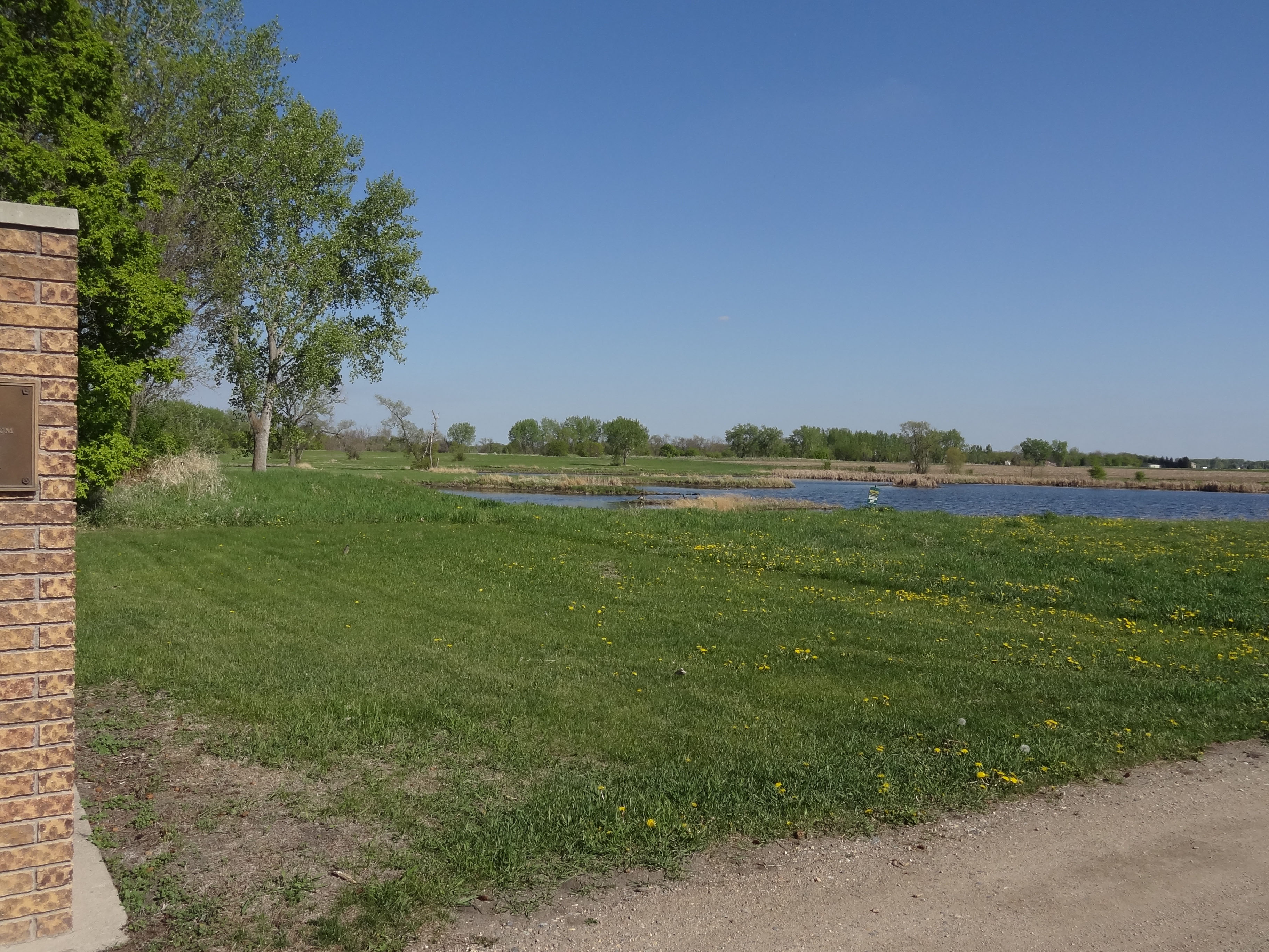
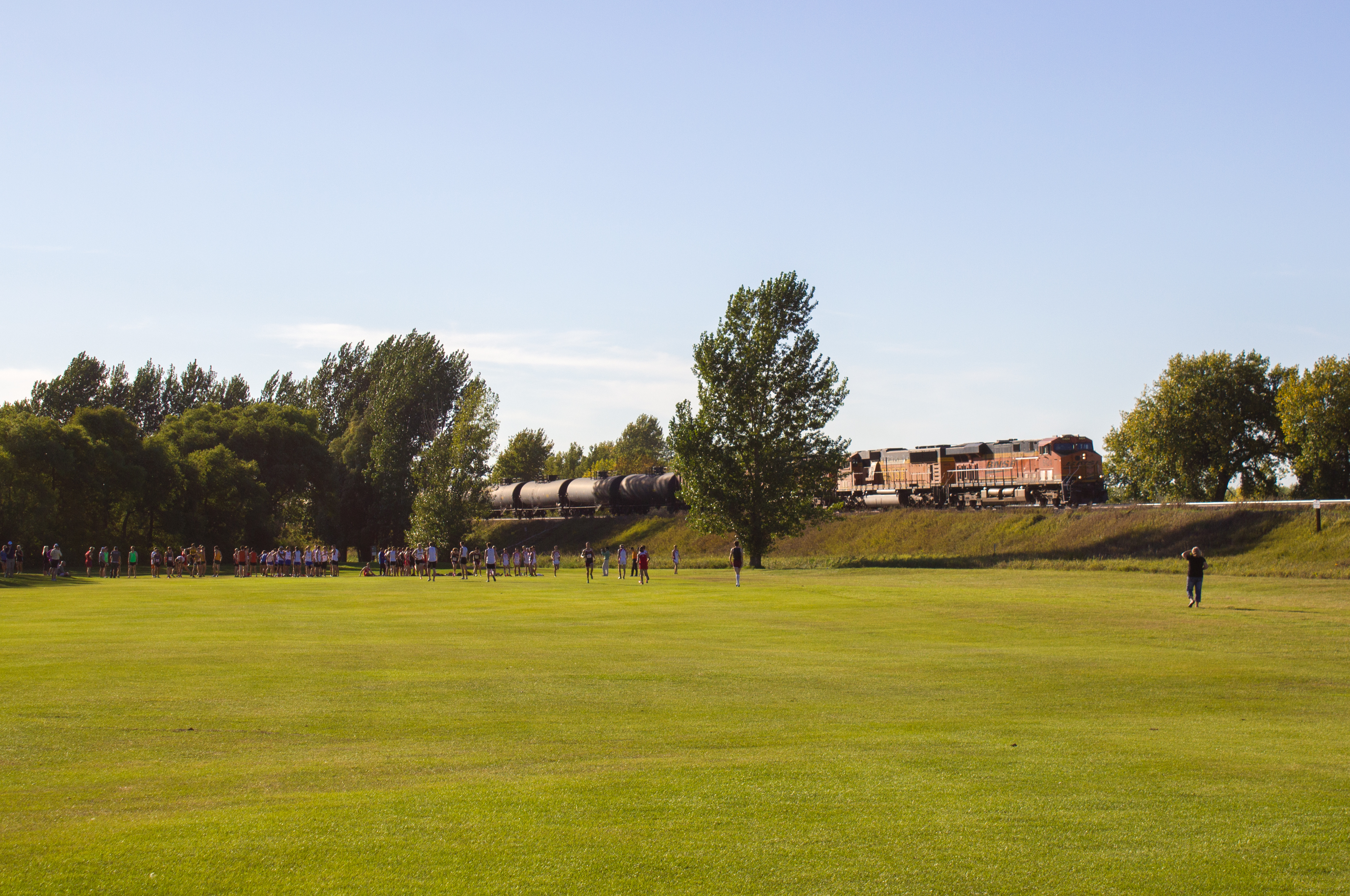
Related Photos:

2012-05-09-03012
2012-05-09-03015

Loads Meet Stacks at Hawley

Meeting under the Wooden Bridges

Old & New

Wild Onion

Little Bluestem Prairie Grass Silhouette

Bluestem Silhouette

Bluestem Prairie
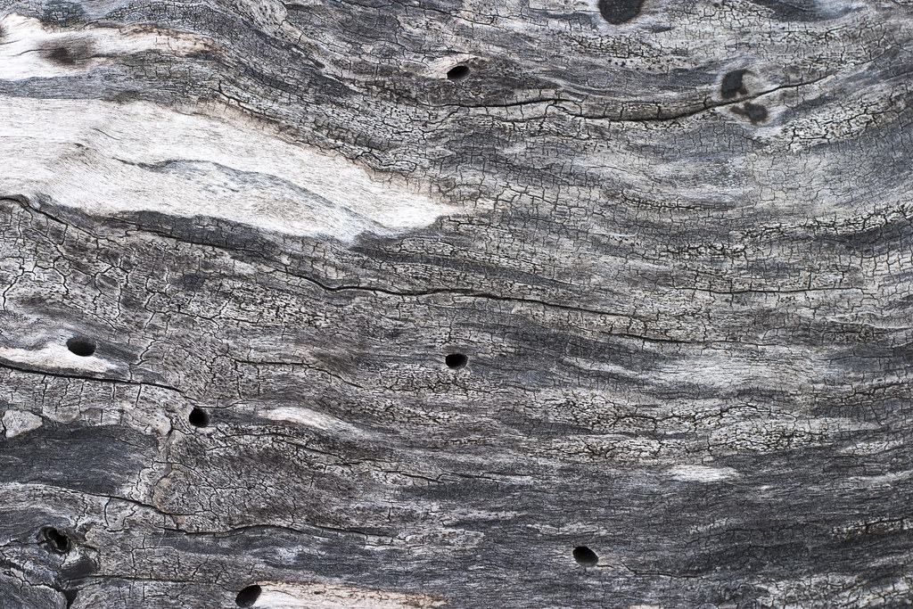
Weathered Wood

upland sandpiper
BNSF 6424
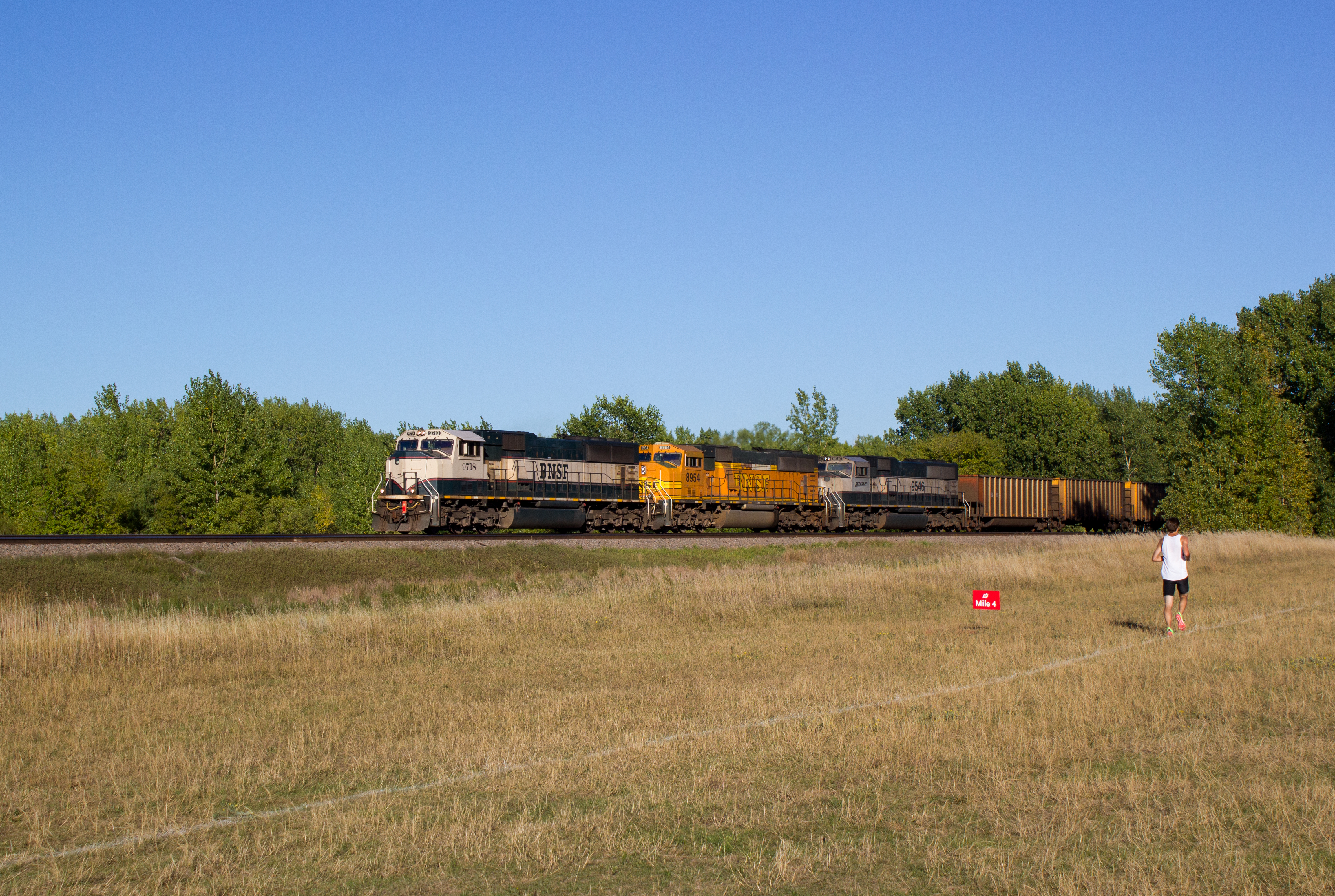
BNSF 9718
Showers Rolling in over Bluestem Prairie

stacktrainglyndon-2

glyndonsunset-1

stacktrainglyndon-3

Spring Wildflowers
2012-05-09-03013

2012-05-09-03014
2012-05-09-03016

01-2013-02-05_08-58-24_993

BNSF 4592 - Hawley, MN

Empire Builder along the Prairie
New, Newer, and Newest at Hawley
Topographic Map of Spring Prairie Township, MN, USA
Find elevation by address:

Places in Spring Prairie Township, MN, USA:
Places near Spring Prairie Township, MN, USA:
Clay County
12th Ave S, Hawley, MN, USA
St N, Glyndon, MN, USA
Hawley Township
Glyndon
413 Partridge Ave S
922 Lund Ave S
7th St, Felton, MN, USA
Hawley
Main St, Hawley, MN, USA
th St S, Barnesville, MN, USA
52 W Front St, Hitterdal, MN, USA
514 8th Ave Ne
rd Ave S, Sabin, MN, USA
Dilworth
17 2nd St N, Sabin, MN, USA
Sabin
1 Main St N, Dilworth, MN, USA
Ulen
Main Ave, Borup, MN, USA
Recent Searches:
- Elevation of Corso Fratelli Cairoli, 35, Macerata MC, Italy
- Elevation of Tallevast Rd, Sarasota, FL, USA
- Elevation of 4th St E, Sonoma, CA, USA
- Elevation of Black Hollow Rd, Pennsdale, PA, USA
- Elevation of Oakland Ave, Williamsport, PA, USA
- Elevation of Pedrógão Grande, Portugal
- Elevation of Klee Dr, Martinsburg, WV, USA
- Elevation of Via Roma, Pieranica CR, Italy
- Elevation of Tavkvetili Mountain, Georgia
- Elevation of Hartfords Bluff Cir, Mt Pleasant, SC, USA