Elevation of th St S, Barnesville, MN, USA
Location: United States > Minnesota > Clay County > Barnesville >
Longitude: -96.487277
Latitude: 46.7538454
Elevation: 295m / 968feet
Barometric Pressure: 98KPa
Elevation Map:
Satellite Map:
Related Photos:

miss my sister and the postcard views in North Dakota, but excited to get back to my husband @realwhitemamba and show @amber.sweat and @breannasweat what Chicago has to offer! #funfilledweek #chicagoland #greatcity #bettercompany
OTVR Train at Barnesville, Minnesota
Barnesville Township, MN 56514, USA

Sympetrum costiferum

Wild Onion

Little Bluestem Prairie Grass Silhouette

Bluestem Silhouette
BNSF 6424
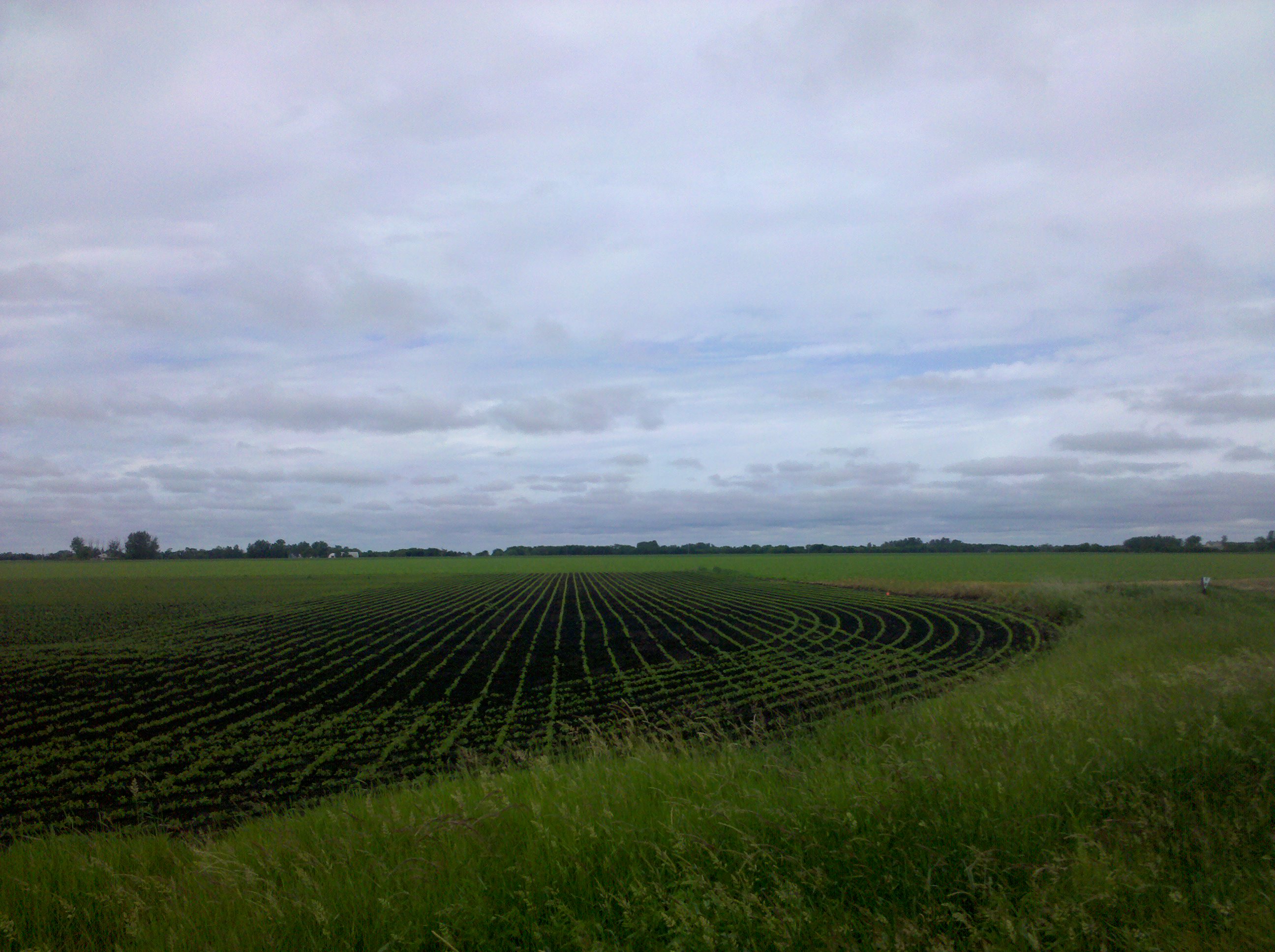
Showers Rolling in over Bluestem Prairie
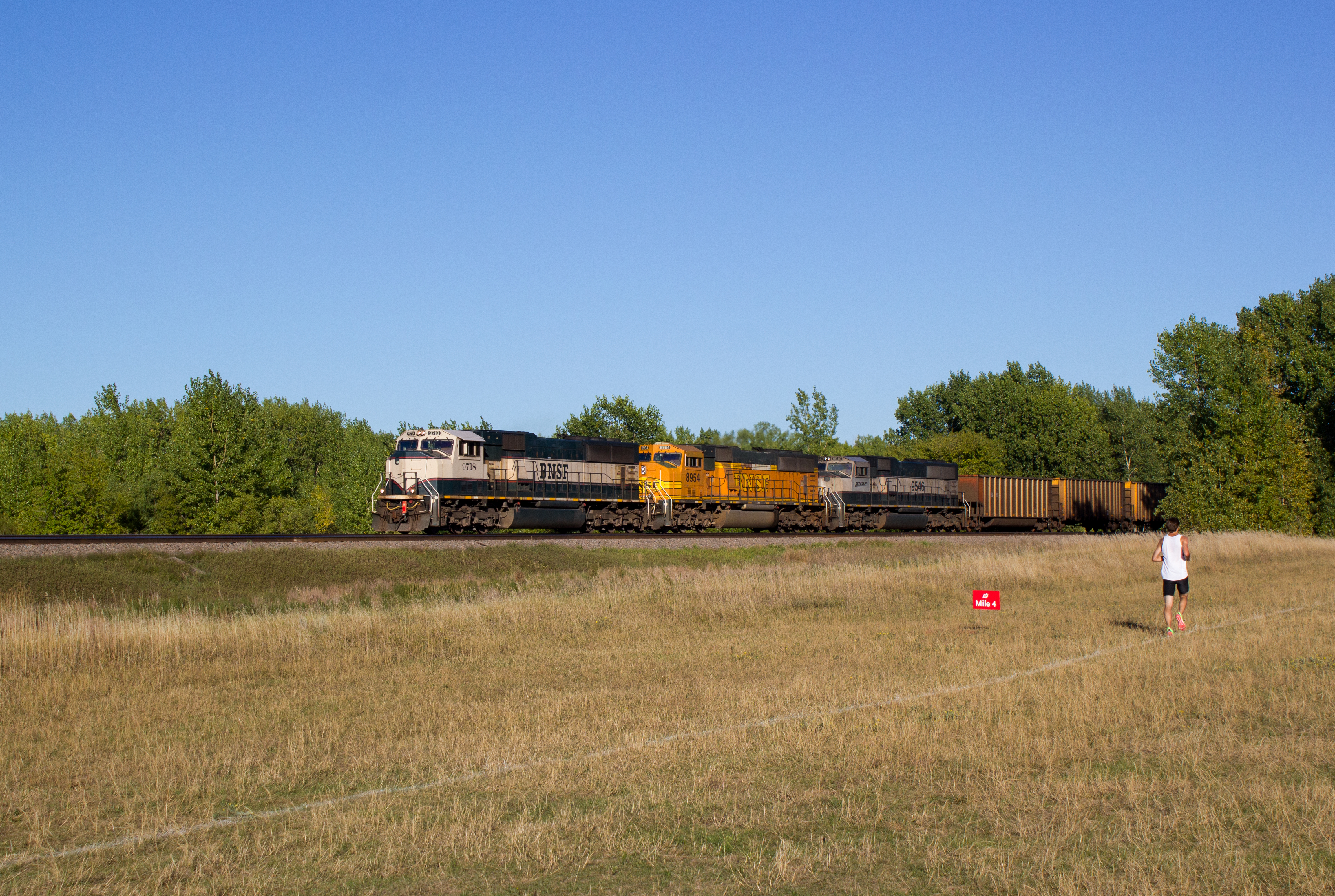
BNSF 9718
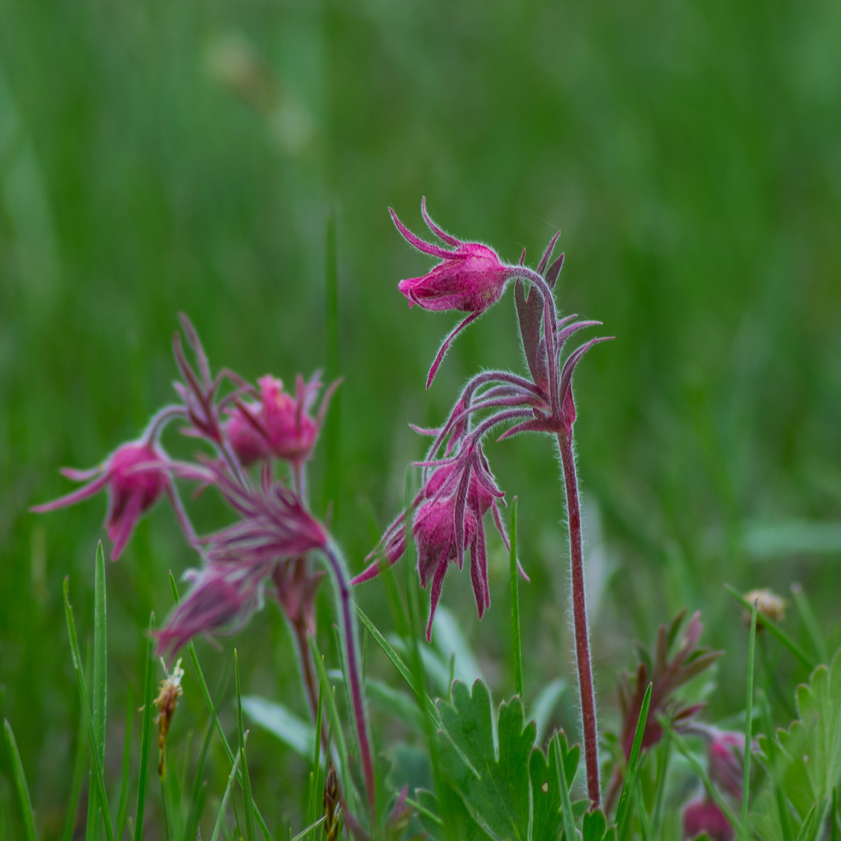
Spring Wildflowers
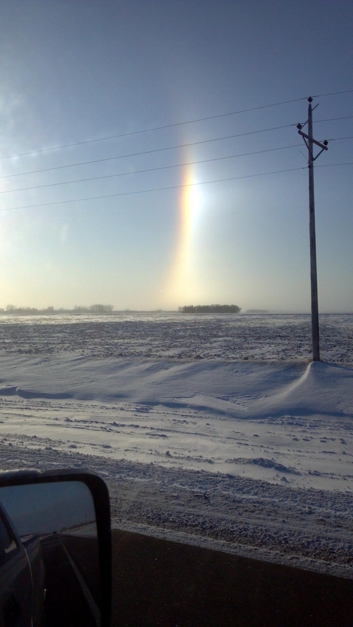
01-2013-02-05_08-58-24_993
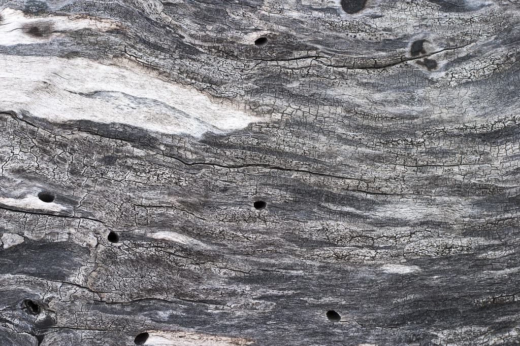
Weathered Wood

Bluestem Prairie
I'm in potato country
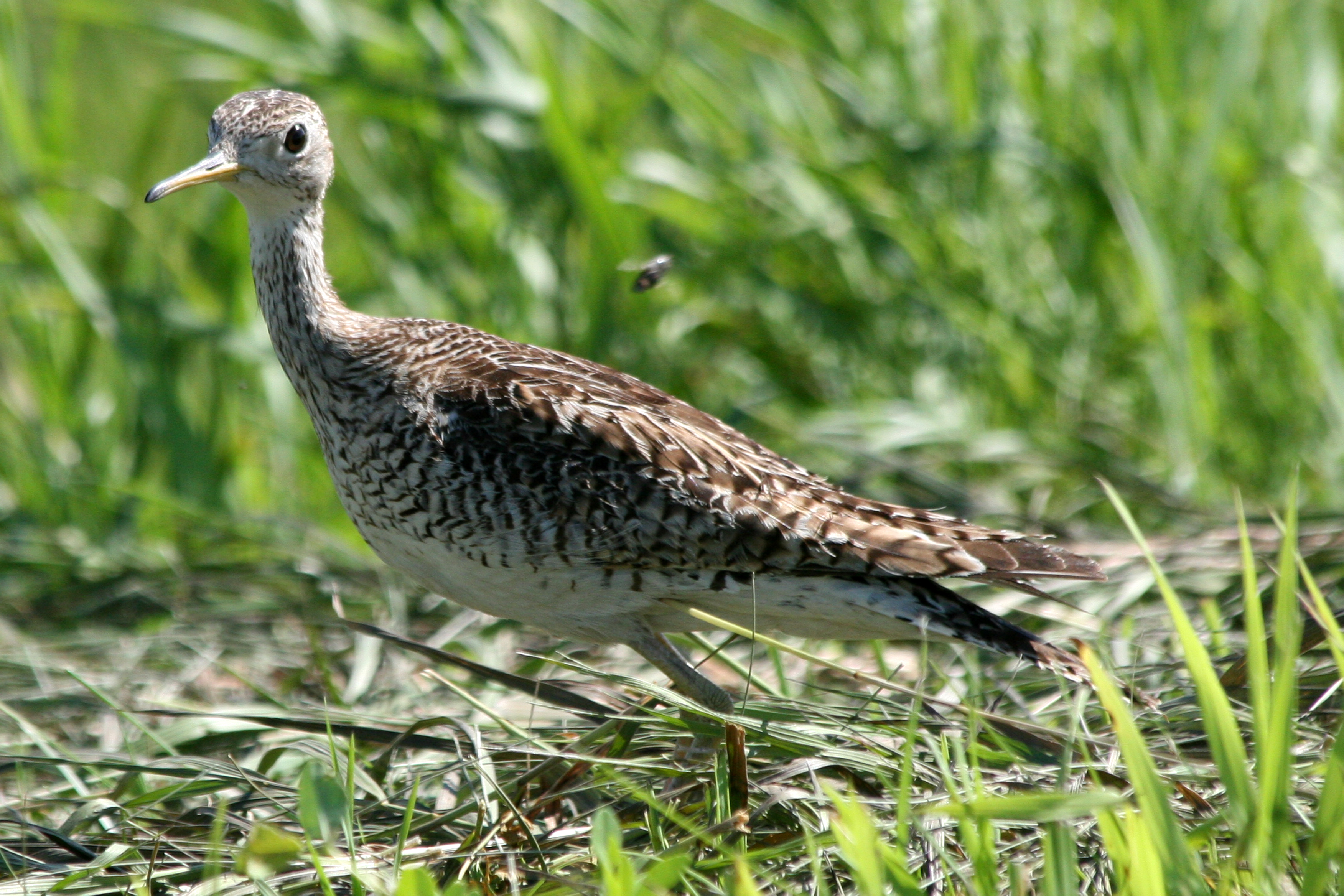
upland sandpiper
Topographic Map of th St S, Barnesville, MN, USA
Find elevation by address:

Places near th St S, Barnesville, MN, USA:
rd Ave S, Sabin, MN, USA
Barnesville
2nd Ave SE, Rothsay, MN, USA
12th Ave S, Hawley, MN, USA
Clay County
922 Lund Ave S
413 Partridge Ave S
Glyndon
22428 120th Ave S
Hawley Township
Sabin
17 2nd St N, Sabin, MN, USA
404 3rd St N
4th Ave SE, Barnesville, MN, USA
Spring Prairie Township
Hawley
Main St, Hawley, MN, USA
St N, Glyndon, MN, USA
26321 70th Ave S
Dilworth
Recent Searches:
- Elevation of Corso Fratelli Cairoli, 35, Macerata MC, Italy
- Elevation of Tallevast Rd, Sarasota, FL, USA
- Elevation of 4th St E, Sonoma, CA, USA
- Elevation of Black Hollow Rd, Pennsdale, PA, USA
- Elevation of Oakland Ave, Williamsport, PA, USA
- Elevation of Pedrógão Grande, Portugal
- Elevation of Klee Dr, Martinsburg, WV, USA
- Elevation of Via Roma, Pieranica CR, Italy
- Elevation of Tavkvetili Mountain, Georgia
- Elevation of Hartfords Bluff Cir, Mt Pleasant, SC, USA