Elevation of US-10, Moorhead, MN, USA

Location: United States > Minnesota > Clay County > Moorhead >

Longitude: -96.729505

Latitude: 46.877955

Elevation: -10000m / -32808feet

Barometric Pressure: 295KPa

Elevation Map:

elevation map of US-10, Moorhead, MN, USA
Satellite Map:

Satellite map of US-10, Moorhead, MN, USA

Related Photos:

minnesota 2019 july july2019 vacation roadtrip 2019vacation 2019roadtrip minnesota2019roadtrip minnesota2019vacation fargo northdakota casscounty southwestfargo fargomoorheadmetro dusk aftersunset evening building architecture sanfordmedicalcenter sanfordmedcenter daytwo usa
Sanford Med Center at Dusk, 13 July 2019
sony a7rii mirrorless 28mm storm fargo north dakota red warm nd2018contest
Safe From a Distance
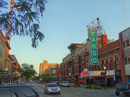
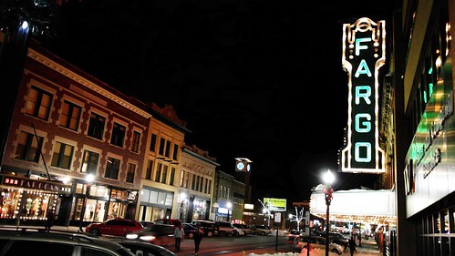
minnesota 2019 july july2019 vacation roadtrip 2019vacation 2019roadtrip minnesota2019roadtrip minnesota2019vacation northdakota casscounty fargo downtownfargo broadway downtown evening beforesunset earlyevening theatre fargotheatre fargotheater theater marqueesign usa
Broadway in Early Evening, 14 July 2019
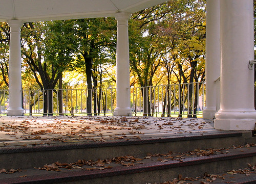
autumn trees color leaves temple fallcolors gazebo northdakota pillars fargo vivaldi islandpark changingseasons zip58103
Island Park gazebo, autumn (Fargo, North Dakota)
minnesota 2019 july july2019 vacation roadtrip 2019vacation 2019roadtrip minnesota2019roadtrip minnesota2019vacation drive driving driver driverpic ontheroad road highway interstate freeway i94 interstate94 eastbound eastboundi94 moorhead claycounty fargo fargomoorheadarea fargomoorheadmetro sign welcomesign statesign minnesotasign minnesotawelcomesign minnesotawelcomesyou evening usa
Minnesota Welcome Sign on I-94, 13 July 2019
us amtrak passengertrains fargonorthdakota
Westbound "Empire Builder" - 2, Fargo, ND, 1975
“red river basin” river” minnesota “north dakota” nd “south sd prairie wetlands flooding water retention land wildlife habitat flat “flat farm” glacial lake plains valleys hilly beach ridges provide conservation challenges need for basin initiative” migratory “united states department agriculture” usda “natural resources service” nrcs agricultural farm floodwater “water flow” floodplain
20130429-NRCS-LSC-0343
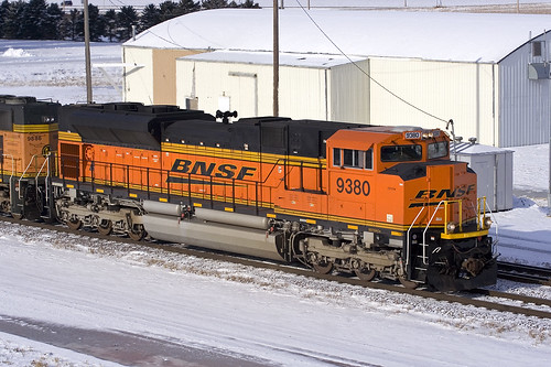
bnsf bnsf9380 emd sd70ace dilworth minnesota staplessub train railroad whitenumberboards
BNSF 9380 Dilworth 2 Jan 07
animals king steven animalplanet musictomyeyes aclass peopleschoice naturelovers animalphotography naturebeauty digitalcameraclub specanimal golddragon animalkingdomelite anawesomeshot naturewatching beautifulcaptures elitephotography naturespotofgold aroundanimals dragondaggerphoto beautifulimagetopaward rodentsanimalfun newenvyoffilkr
Prairie Dog
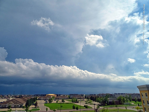
minnesota 2019 july july2019 vacation roadtrip 2019vacation 2019roadtrip minnesota2019roadtrip minnesota2019vacation fargo northdakota casscounty weather clouds storms storm thunderstorm thunderstorms severethunderstorms south viewfromhotel sunday afternoon usa
Nasty storms south of Fargo, 14 July 2019
city cars night buildings lights main broadway fargo arialview fargonorthdakota fargodowntown oldfargotown
Heart of the City
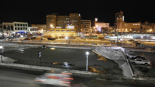
city cars night buildings lights main north broadway fargo arialview fargonorthdakota fargodowntown oldfargotown exs1855ib samsung1855mmf3556oisiilense samsungexs1855iblense
From Above
lake beach water minnesota river for flooding flat farm wildlife conservation basin sd nd wetlands land need migratory states prairie plains habitat hilly department challenges agricultural ridges resources valleys provide glacial usda floodwater “united floodplain “red retention farm” “south nrcs river” “flat service” “north “water dakota” “natural initiative” flow” basin” agriculture”
20130429-NRCS-LSC-0367
lake beach water minnesota river for flooding flat farm wildlife conservation basin sd nd wetlands land need migratory states prairie plains habitat hilly department challenges agricultural ridges resources valleys provide glacial usda floodwater “united floodplain “red retention farm” “south nrcs river” “flat service” “north “water dakota” “natural initiative” flow” basin” agriculture”
20130429-NRCS-LSC-0354
lake beach water minnesota river for flooding flat farm wildlife conservation basin sd nd wetlands land need migratory states prairie plains habitat hilly department challenges agricultural ridges resources valleys provide glacial usda floodwater “united floodplain “red retention farm” “south nrcs river” “flat service” “north “water dakota” “natural initiative” flow” basin” agriculture”
20130429-NRCS-LSC-0349
lake beach water minnesota river for flooding flat farm wildlife conservation basin sd nd wetlands land need migratory states prairie plains habitat hilly department challenges agricultural ridges resources valleys provide glacial usda floodwater “united floodplain “red retention farm” “south nrcs river” “flat service” “north “water dakota” “natural initiative” flow” basin” agriculture”
20130429-NRCS-LSC-0345
city cars night buildings lights main broadway fargo arialview fargonorthdakota fargodowntown oldfargotown samsung50200mmf4056edoisiilense samsungext50200iblense
Main Ave
family house home parkinglot progress northdakota fargo growingup thewaywewere
Then and now
roadtrip unitedstates usa moorhead minnesota us hjemkomstinterpretivecenter hjemkomstcenter hjemkomst homecoming viking vikingship vikinglongboat dragonships vikingdragonship vikinglongship
DSC_8652 (Copy)
legogirls westfargond
Climbing tree to get a better view
Last Shot of the OTVR
winter cemetery cold fargo north dakota ice landscape rokinon16mm
In a cold winter cemetery
tracteur steiger fargo north dakota schlepper traktor farm farmer landscape 4wd farming
Case IH Quadtrac 485 Lime-Green - Old Steiger Fashion
trees winter light snow night twilight quiet dusk parks structures northdakota americana urbandesign weeklysurvivor fargo vivaldi meditative gazebos islandpark culturallandscape oldstructures judgementday54
Island Park Gazebo, winter (Fargo, North Dakota)
park island north dakota fargo
Island Park | P7049494-1-2
blue winter light snow canon mood dusk powershot northdakota sledding fargo 4seasons interestingness291 i500
Dusk at the sliding hill (Dike West), Fargo
city sunset sky skyline clouds landscape cityscape northdakota fargo
Fargo Skyline
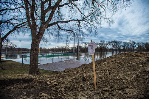
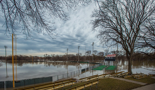
red river flood nd redriver mn fargo moorhead 2011
Fargo Flood, 2011
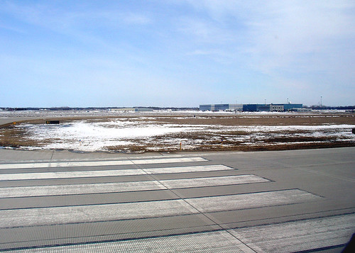
airplane march flight msp northdakota 2008 takeoff far fargo windowseat northwestairlines kfar minneapolisstpaul kmsp runway18 casscounty rwy18 hectorinternationalairport
Ready for takeoff from Fargo, 28 March 2008
nikon tokina hdr d300 photomatix 1116mm
Minnesota Clouds HDR
Day 17
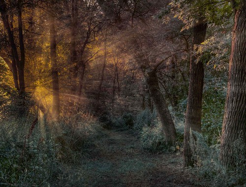
trees usa grass leaves fog landscape northdakota rays fargo lindenwoodpark
Lindenwood rays
pink blue trees red orange usa clouds sunrise landscape purple northdakota fargo
Memories of A Past Morning
clouds flying jet aerial northdakota acrobatics condensation f18 blueangels usnavy fargo fighterjet airsho fa18a fa18ahornet strakevortices
Strake Vortices
cloud field day cloudy country northdakota fargo
Fargo Countryside
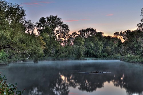
morning usa fog sunrise landscape northdakota fargo lindenwoodpark
Fog on the Red
roadtrip usa
[203/365]
odetothesquirrels
'Sown'
baseball heirloommlblogscom
Newman Outdoor Field, Fargo, ND 2
park north dakota fargo lindenwood
lindenwood park small
moorhead
Remnants of fall on campus