Elevation of FM 49, Gilmer, TX, USA
Location: United States > Texas > Upshur County > Gilmer >
Longitude: -95.096296
Latitude: 32.723309
Elevation: 126m / 413feet
Barometric Pressure: 100KPa
Elevation Map:
Satellite Map:
Related Photos:

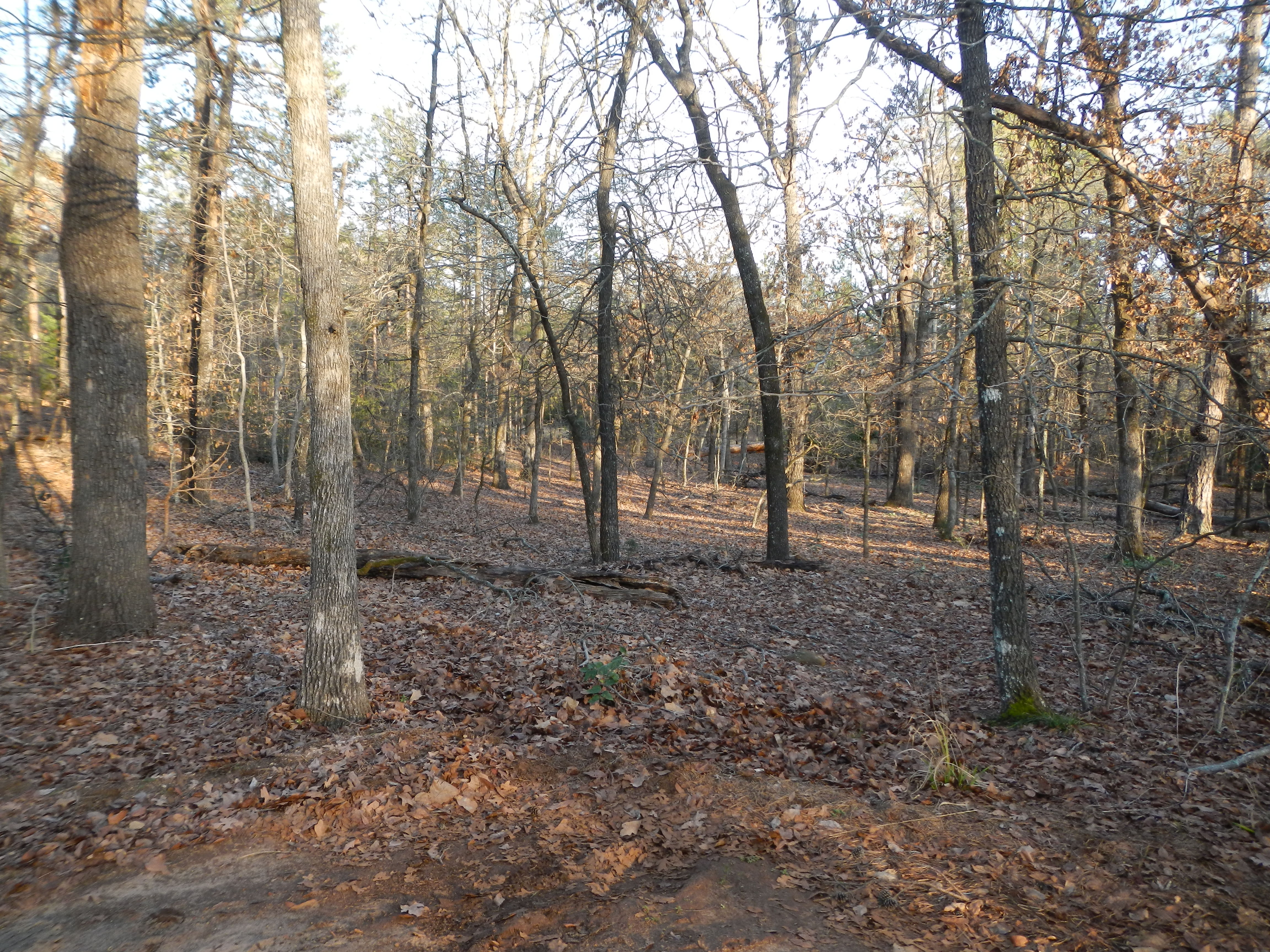
Meditation Walk
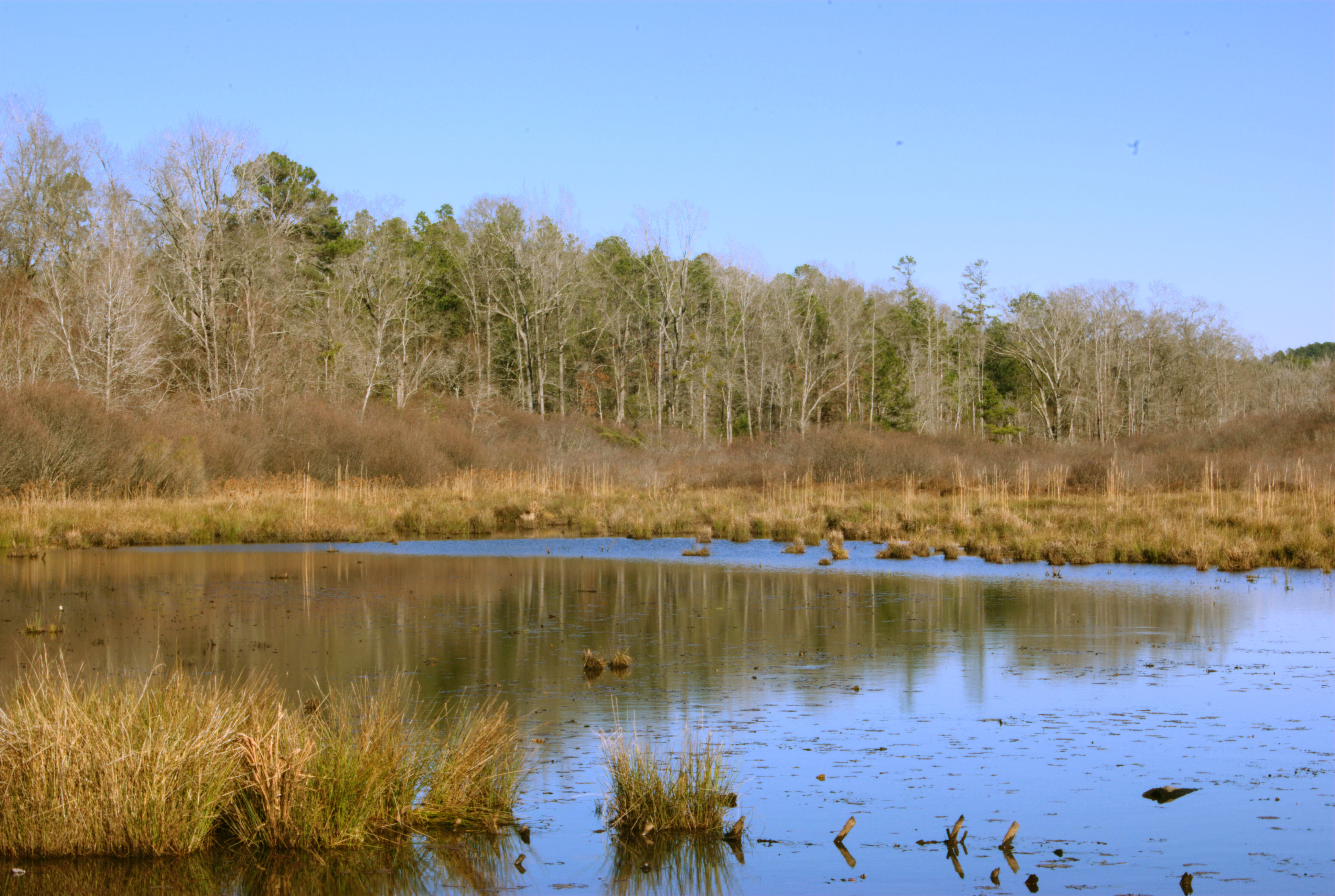
The Bog

DSCN0564.JPG
DSCN0086.JPG

DSCN0085.JPG

DSCN0081.JPG

cloudy sky

October surprise

Living at the end of the rainbow

War Memorial
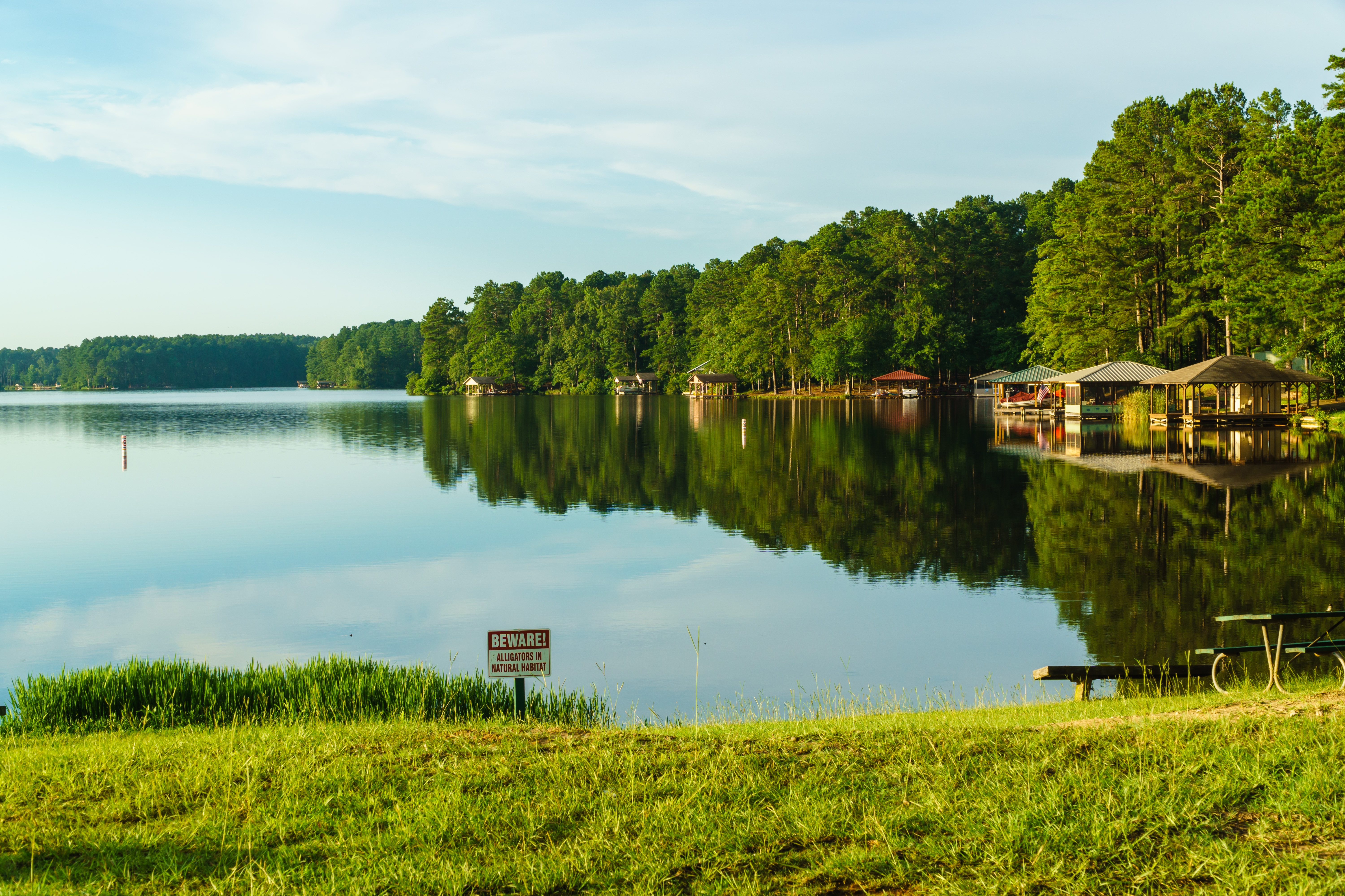
Holly Lake Ranch, TX

Deer at Holly Lake Ranch, TX
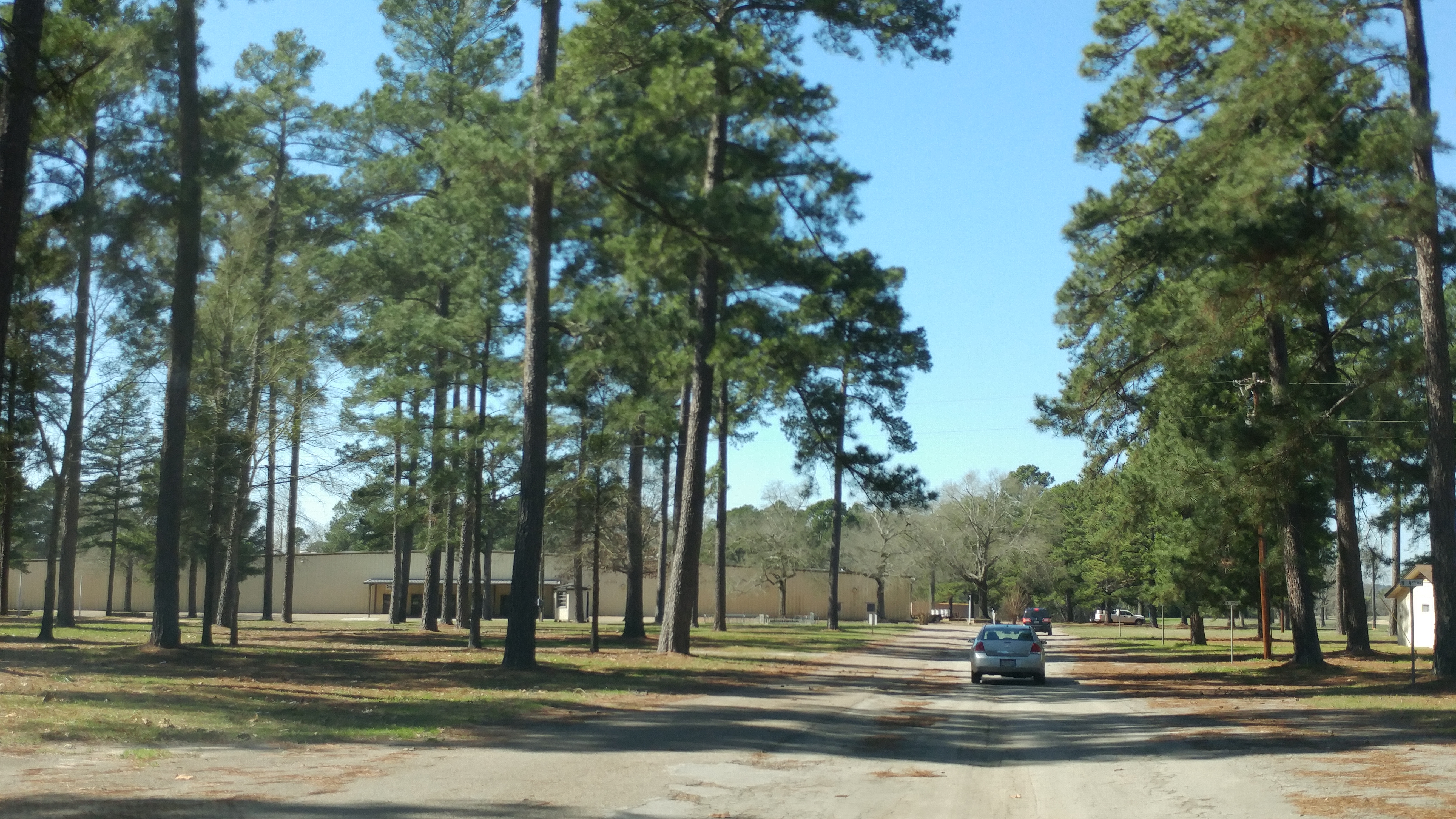
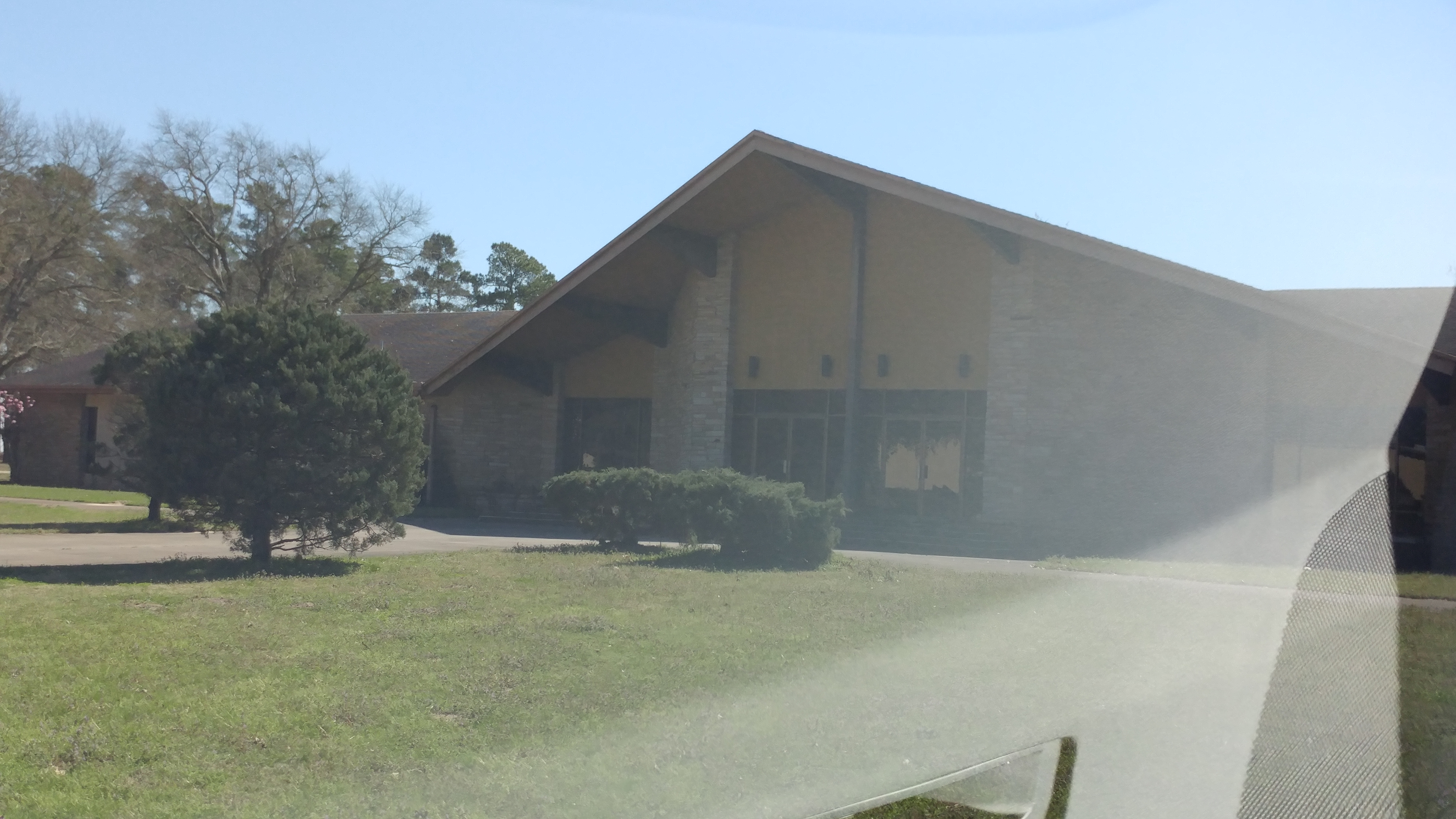
Former Ambassador College Campus, Big Sandy, TX
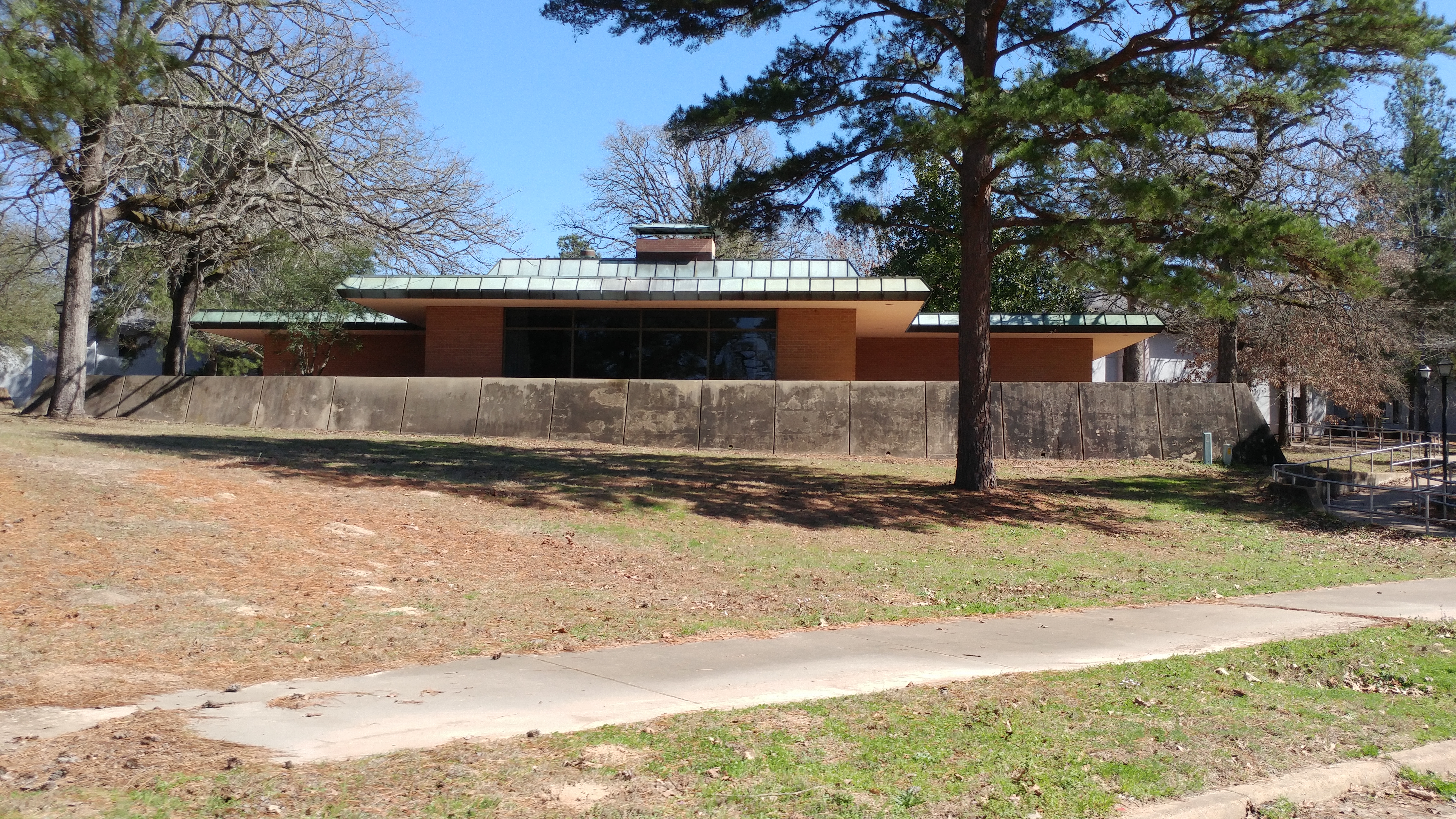
Former Ambassador College Campus, Big Sandy, TX

Former Ambassador College Campus, Big Sandy, TX
Former Ambassador College Campus, Big Sandy, TX

Upshur County Courthouse
Topographic Map of FM 49, Gilmer, TX, USA
Find elevation by address:

Places near FM 49, Gilmer, TX, USA:
S Live Oak Rd, Gilmer, TX, USA
2499 Red Maple Rd
128 Mulberry Cove
110 Mulberry Cove
146 Mulberry Cove
2226 Holly Rd
FM, Gilmer, TX, USA
Gilmer, TX, USA
1561 Ironwood Rd
656 Green Meadow Trail
Crabapple Rd, Big Sandy, TX, USA
Holly Lake Ranch
2781 Fm852
3175 Crabapple Rd
Upshur County
Big Sandy
Gilmer
Bob-O-Link Rd, Gilmer, TX, USA
Hawkins
FM, Winnsboro, TX, USA
Recent Searches:
- Elevation of Corso Fratelli Cairoli, 35, Macerata MC, Italy
- Elevation of Tallevast Rd, Sarasota, FL, USA
- Elevation of 4th St E, Sonoma, CA, USA
- Elevation of Black Hollow Rd, Pennsdale, PA, USA
- Elevation of Oakland Ave, Williamsport, PA, USA
- Elevation of Pedrógão Grande, Portugal
- Elevation of Klee Dr, Martinsburg, WV, USA
- Elevation of Via Roma, Pieranica CR, Italy
- Elevation of Tavkvetili Mountain, Georgia
- Elevation of Hartfords Bluff Cir, Mt Pleasant, SC, USA