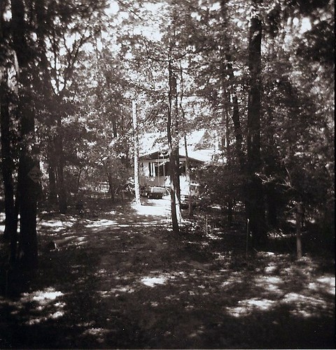
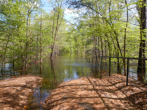
Elevation of Green Meadow Trail, Holly Lake Ranch, TX, USA
Location: United States > Texas > Wood County > Holly Lake Ranch >
Longitude: -95.192874
Latitude: 32.727755
Elevation: 151m / 495feet
Barometric Pressure: 100KPa
Related Photos:
Topographic Map of Green Meadow Trail, Holly Lake Ranch, TX, USA
Find elevation by address:

Places near Green Meadow Trail, Holly Lake Ranch, TX, USA:
Holly Lake Ranch
146 Mulberry Cove
110 Mulberry Cove
128 Mulberry Cove
FM, Winnsboro, TX, USA
9644 Fm 49
2499 Red Maple Rd
FM, Hawkins, TX, USA
S Live Oak Rd, Gilmer, TX, USA
Hawkins
US-80, Hawkins, TX, USA
2226 Holly Rd
Big Sandy
FM 49, Mineola, TX, USA
FM, Gilmer, TX, USA
Gilmer, TX, USA
1561 Ironwood Rd
Crabapple Rd, Big Sandy, TX, USA
Wood County
2781 Fm852
Recent Searches:
- Elevation of Corso Fratelli Cairoli, 35, Macerata MC, Italy
- Elevation of Tallevast Rd, Sarasota, FL, USA
- Elevation of 4th St E, Sonoma, CA, USA
- Elevation of Black Hollow Rd, Pennsdale, PA, USA
- Elevation of Oakland Ave, Williamsport, PA, USA
- Elevation of Pedrógão Grande, Portugal
- Elevation of Klee Dr, Martinsburg, WV, USA
- Elevation of Via Roma, Pieranica CR, Italy
- Elevation of Tavkvetili Mountain, Georgia
- Elevation of Hartfords Bluff Cir, Mt Pleasant, SC, USA


