Elevation of Red Maple Rd, Big Sandy, TX, USA
Location: United States > Texas > Upshur County > Big Sandy >
Longitude: -95.099992
Latitude: 32.662437
Elevation: 163m / 535feet
Barometric Pressure: 99KPa
Elevation Map:
Satellite Map:
Related Photos:

Hawkins-16440-2
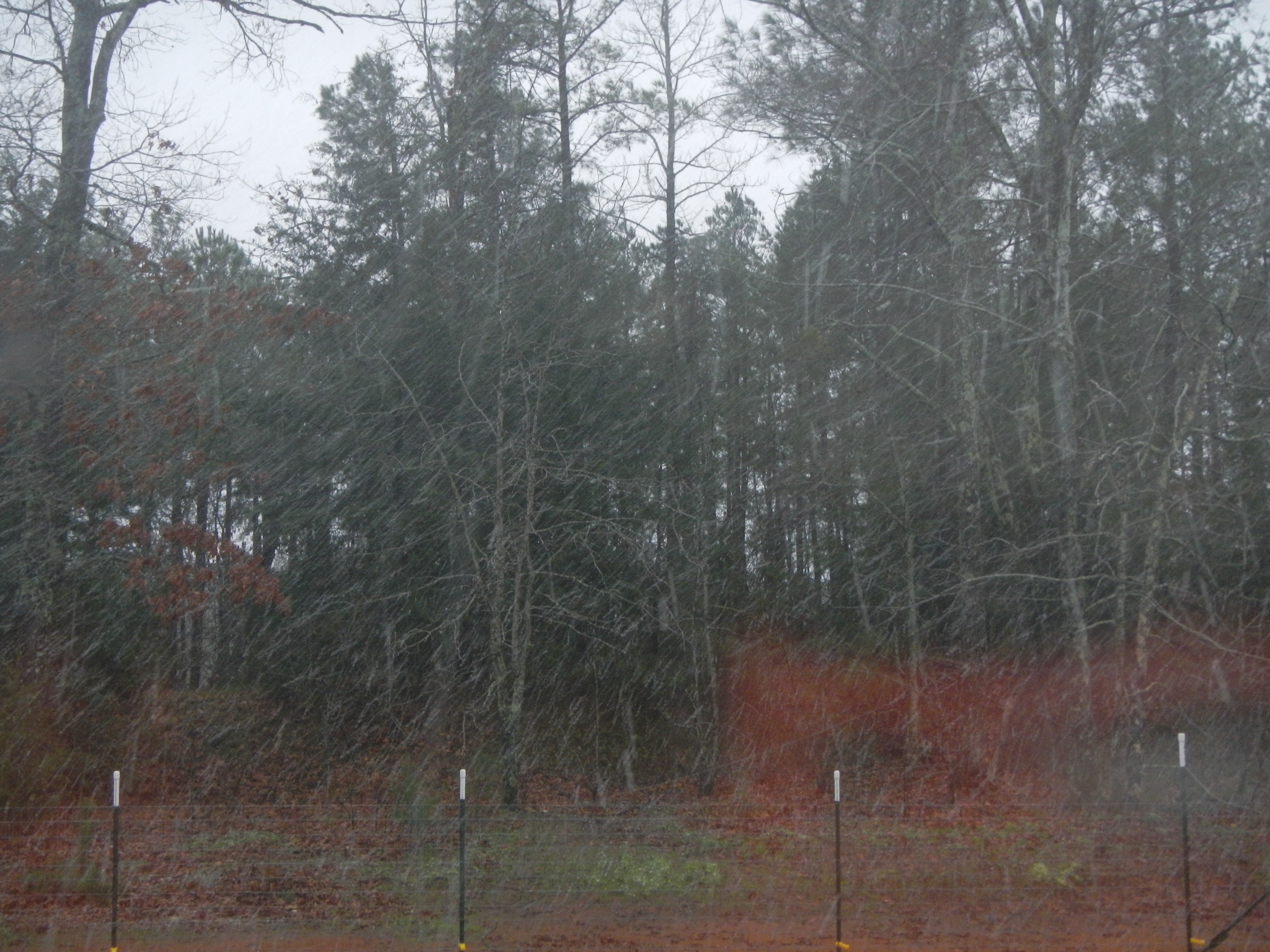
Snow at Christmas, 2012

DSCN0081.JPG

The Bog

DSCN0076.JPG

DSCN0085.JPG

3Commanders_3020-267

DSCN2704.JPG
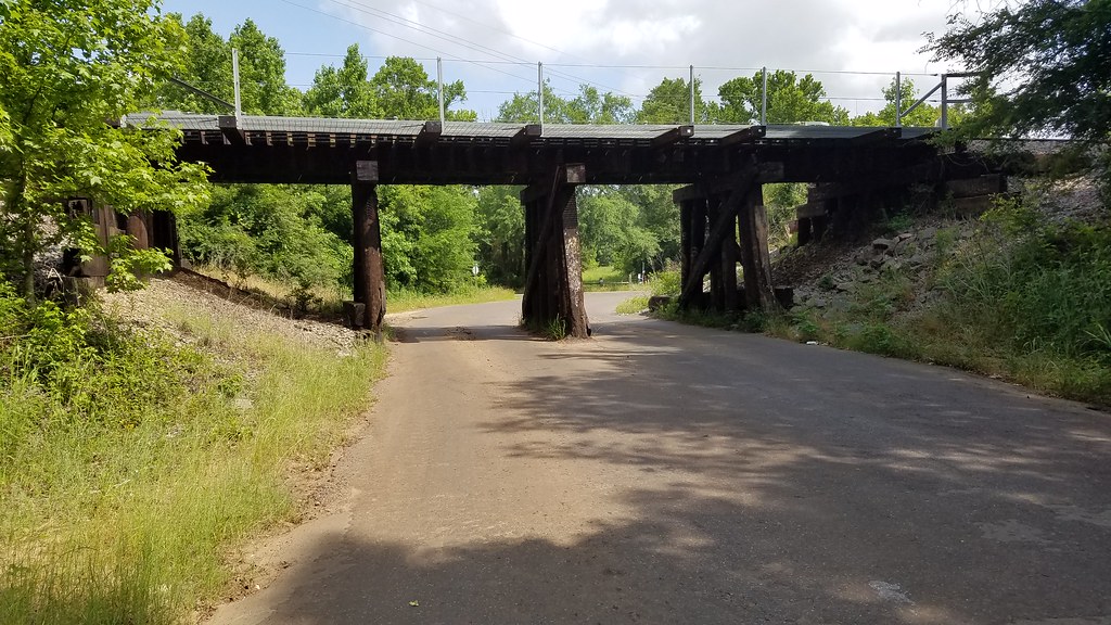
Montgomery St Railroad Bridge
Rain in Texas with a little sun

Hello Texas twinkies for Caleb

IMG_20181130_140502-01

IMG_20181130_140445-01

cloudy sky

October surprise

Living at the end of the rainbow

Last Day of Summer at the Beach

Last Day of Summer at the Beach

Last Day of Summer at the Beach

Last Day of Summer at the Beach

Last Day of Summer at the Beach

Last Day of Summer at the Beach

Last Day of Summer at the Beach

Last Day of Summer at the Beach

Last Day of Summer at the Beach

LOCUST 5

LOCUST CHURCH

Graveyard in Gladewater

WP_20180727_13_38_48_Pro (2)
Topographic Map of Red Maple Rd, Big Sandy, TX, USA
Find elevation by address:

Places near Red Maple Rd, Big Sandy, TX, USA:
S Live Oak Rd, Gilmer, TX, USA
2226 Holly Rd
9644 Fm 49
1561 Ironwood Rd
Big Sandy
Crabapple Rd, Big Sandy, TX, USA
110 Mulberry Cove
128 Mulberry Cove
146 Mulberry Cove
3175 Crabapple Rd
656 Green Meadow Trail
Holly Lake Ranch
Gilmer, TX, USA
Hawkins
FM, Gilmer, TX, USA
Upshur County
US-80, Big Sandy, TX, USA
2781 Fm852
18351 County Rd 3132
S Lake Dr, Gilmer, TX, USA
Recent Searches:
- Elevation of Corso Fratelli Cairoli, 35, Macerata MC, Italy
- Elevation of Tallevast Rd, Sarasota, FL, USA
- Elevation of 4th St E, Sonoma, CA, USA
- Elevation of Black Hollow Rd, Pennsdale, PA, USA
- Elevation of Oakland Ave, Williamsport, PA, USA
- Elevation of Pedrógão Grande, Portugal
- Elevation of Klee Dr, Martinsburg, WV, USA
- Elevation of Via Roma, Pieranica CR, Italy
- Elevation of Tavkvetili Mountain, Georgia
- Elevation of Hartfords Bluff Cir, Mt Pleasant, SC, USA