Elevation of Big Sandy, TX, USA
Location: United States > Texas > Upshur County >
Longitude: -95.108832
Latitude: 32.5837521
Elevation: 113m / 371feet
Barometric Pressure: 100KPa
Elevation Map:
Satellite Map:
Related Photos:

Servant's Call

Kip at Mrs Lee's Dafodill Garden

Branta minima X Ross's Goose, hybrid

Cackling Goose, Branta minima
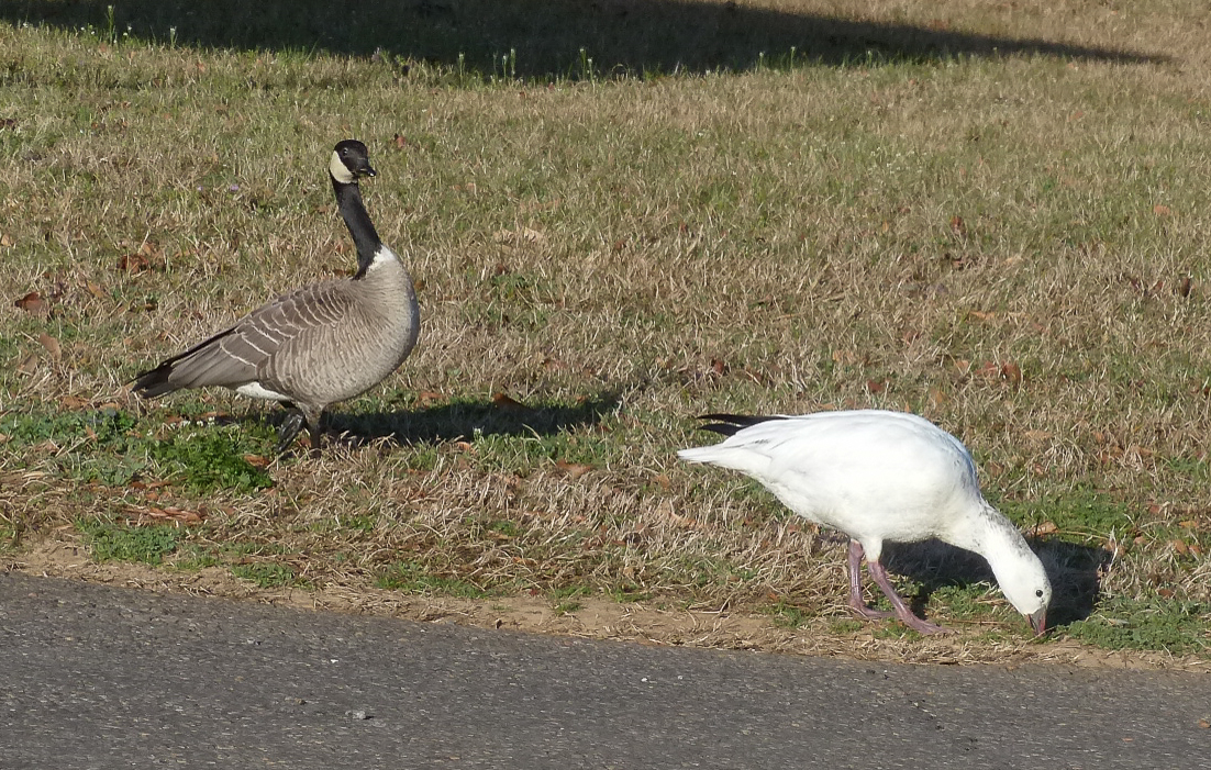
Branta minima X Ross's Goose, Cackling Goose

Hawkins-16440-2

Airplane at Sunset

56. Puddle
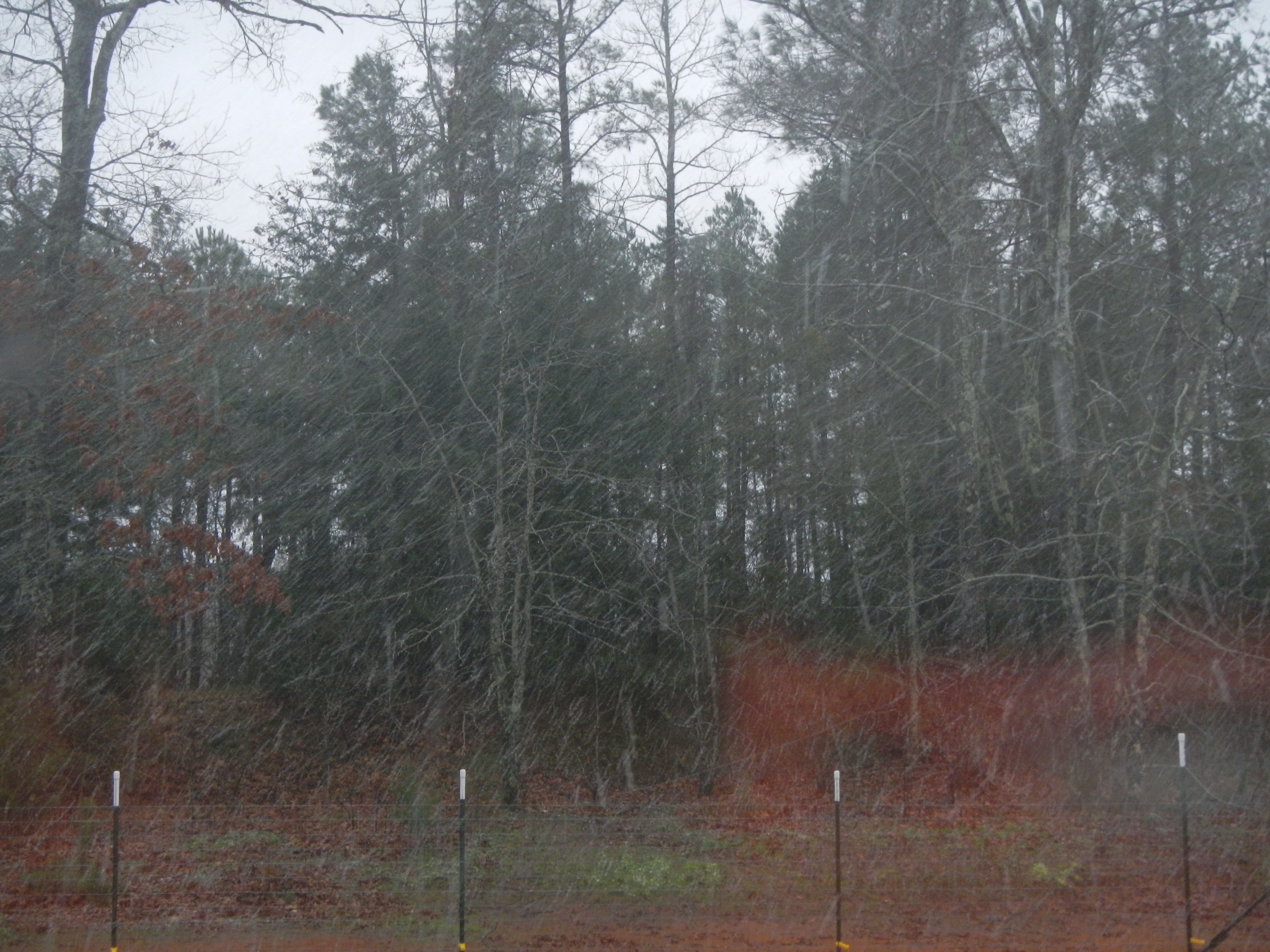
Snow at Christmas, 2012

Mrs Lee's Garden infinity Dafidolls
LAKE GLADEWATER
LAKE GLADEWATER
DSCN0563.JPG

#D9dash40CW #NS #norfolksouthern
DSCN2704.JPG
LAKE GLADEWATER

The earth is steaming.

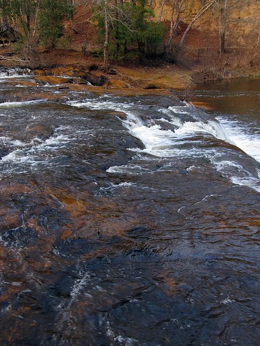
Sabine River
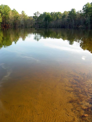
Holly Lake Pond

3Commanders_3020-267

Lake Hawkins TX
DSCN0645.JPG
Topographic Map of Big Sandy, TX, USA
Find elevation by address:

Places in Big Sandy, TX, USA:
Places near Big Sandy, TX, USA:
18351 County Rd 3132
2499 Red Maple Rd
Hawkins
US-80, Big Sandy, TX, USA
2226 Holly Rd
S Live Oak Rd, Gilmer, TX, USA
Crabapple Rd, Big Sandy, TX, USA
1561 Ironwood Rd
County Rd, Gladewater, TX, USA
9644 Fm 49
3175 Crabapple Rd
S Lake Dr, Gilmer, TX, USA
Old Hwy, Gladewater, TX, USA
110 Mulberry Cove
128 Mulberry Cove
146 Mulberry Cove
12185 County Rd 3101
Holly Lake Ranch
656 Green Meadow Trail
2775 Willow Oak Rd
Recent Searches:
- Elevation of Corso Fratelli Cairoli, 35, Macerata MC, Italy
- Elevation of Tallevast Rd, Sarasota, FL, USA
- Elevation of 4th St E, Sonoma, CA, USA
- Elevation of Black Hollow Rd, Pennsdale, PA, USA
- Elevation of Oakland Ave, Williamsport, PA, USA
- Elevation of Pedrógão Grande, Portugal
- Elevation of Klee Dr, Martinsburg, WV, USA
- Elevation of Via Roma, Pieranica CR, Italy
- Elevation of Tavkvetili Mountain, Georgia
- Elevation of Hartfords Bluff Cir, Mt Pleasant, SC, USA